Esbie Wood
Wood, Forest in Dumfriesshire
Scotland
Esbie Wood
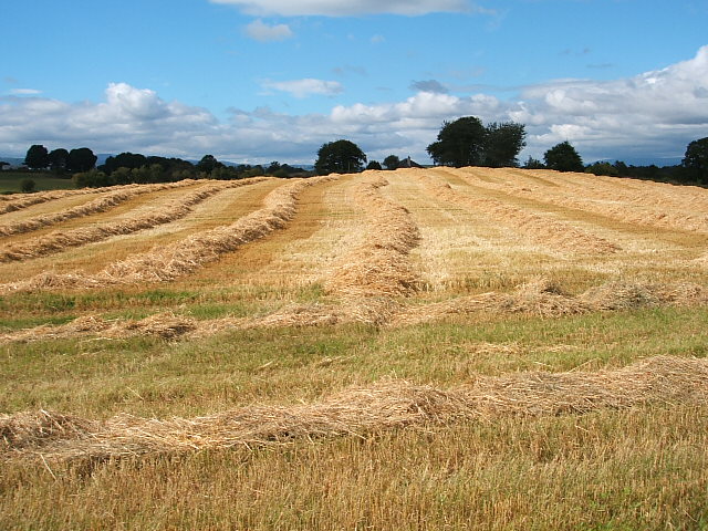
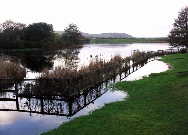
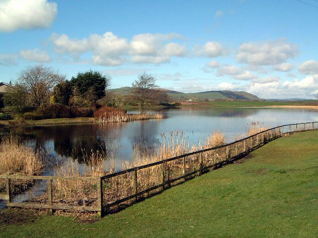
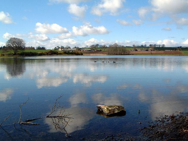
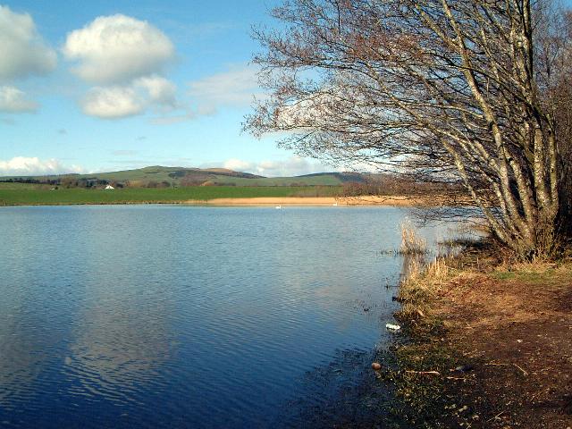
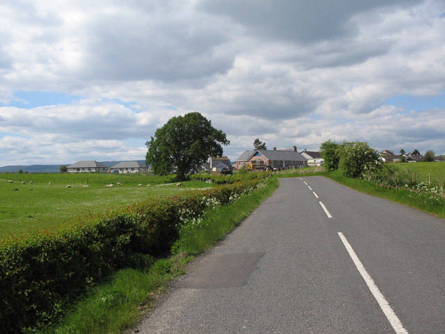
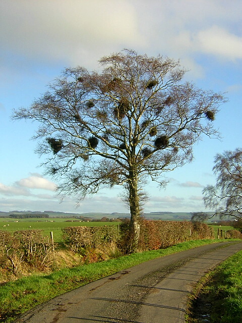
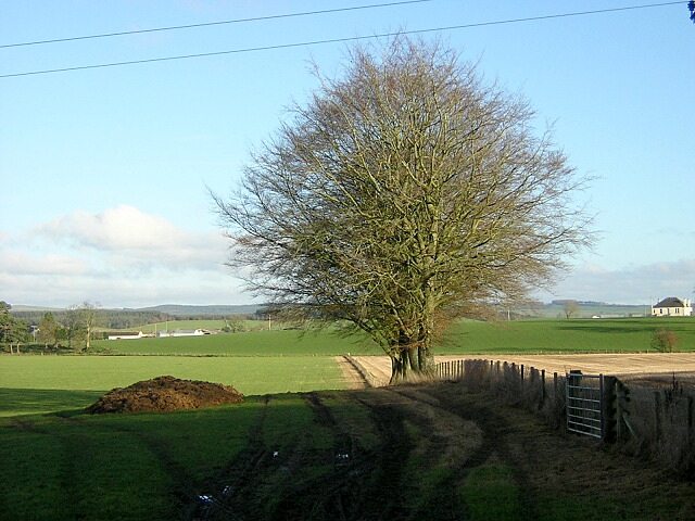
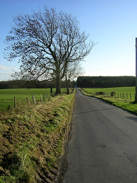
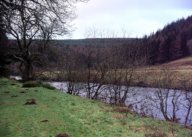
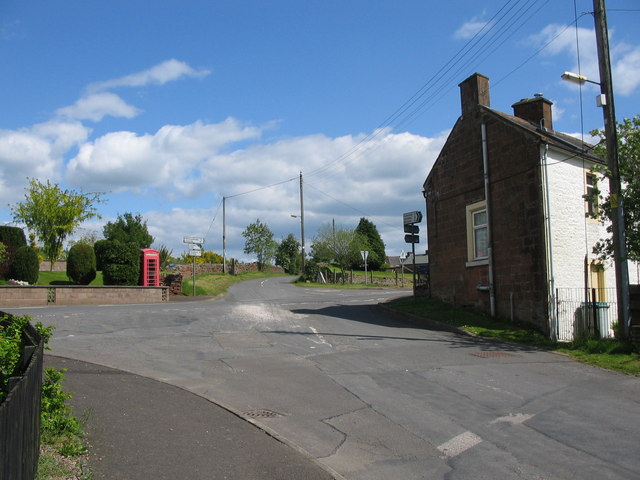
Esbie Wood, located in Dumfriesshire, Scotland, is a picturesque forest that spans over a vast area of land. Known for its natural beauty and tranquil atmosphere, Esbie Wood attracts nature enthusiasts, hikers, and those seeking a peaceful escape from the bustling city life.
The woodland is characterized by a diverse range of tree species, including oak, beech, birch, and pine, creating a rich and varied ecosystem that supports a wide array of wildlife. Visitors to Esbie Wood can expect to encounter a plethora of bird species, such as woodpeckers, owls, and various songbirds, making it a perfect spot for birdwatchers.
Several well-maintained walking trails wind their way through the forest, offering visitors the opportunity to explore the wood at their own pace. These trails are suitable for all skill levels, with options for shorter, leisurely walks as well as longer, more challenging hikes for the adventurous souls.
Esbie Wood is also home to a number of historical and archaeological sites, adding an extra layer of intrigue to the forest. Ruins of ancient settlements and remnants of old structures can be discovered while exploring the area, providing glimpses into the region's rich history.
Visitors are encouraged to respect the natural environment and adhere to the guidelines set by the local authorities to preserve the beauty and integrity of Esbie Wood for future generations.
If you have any feedback on the listing, please let us know in the comments section below.
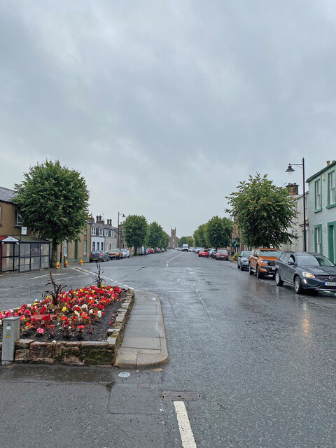
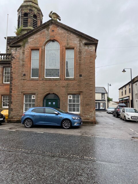
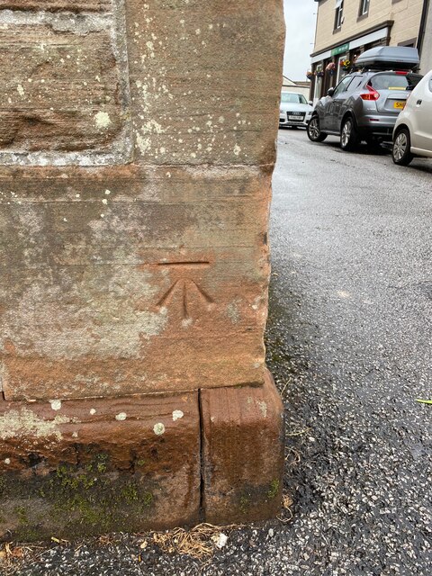
Esbie Wood Images
Images are sourced within 2km of 55.145234/-3.4524283 or Grid Reference NY0784. Thanks to Geograph Open Source API. All images are credited.


Esbie Wood is located at Grid Ref: NY0784 (Lat: 55.145234, Lng: -3.4524283)
Unitary Authority: Dumfries and Galloway
Police Authority: Dumfries and Galloway
What 3 Words
///frantic.microfilm.trendy. Near Lochmaben, Dumfries & Galloway
Nearby Locations
Related Wikis
Water of Ae
The Water of Ae is a tributary of the River Annan into which it flows west of Lockerbie in Dumfries and Galloway administrative county of South West Scotland...

Lochmaben railway station
Lochmaben railway station was a station which served Lochmaben, in the Scottish county of Dumfries and Galloway. It was served by trains on a local line...

Lochmaben F.C.
Lochmaben Football Club is a Scottish football based in Lochmaben, Dumfries and Galloway. The club took on its current name after a merger with Crichton...
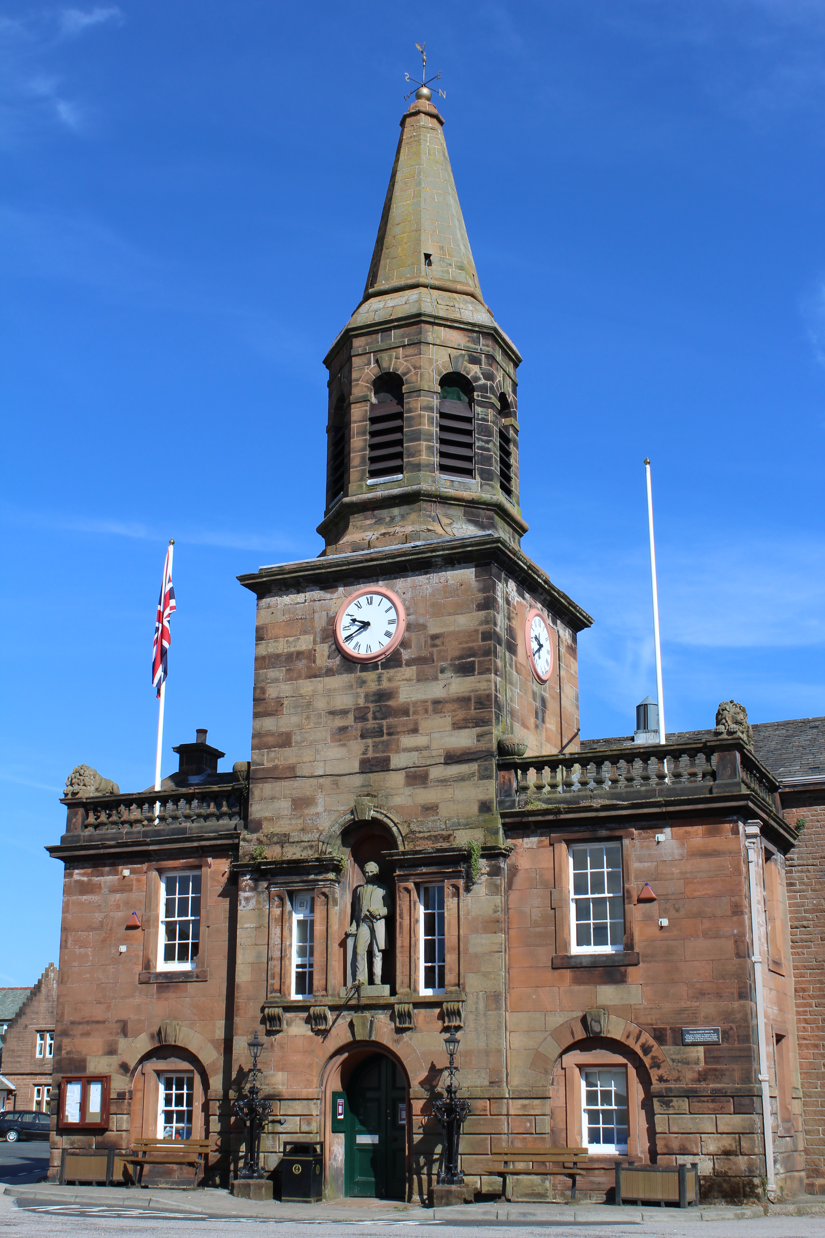
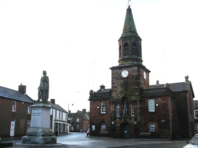
Lochmaben Town Hall
Lochmaben Town Hall is a municipal building in the High Street in Lochmaben, Dumfries and Galloway, Scotland. The structure, which accommodates a library...

Lochmaben Hospital
Lochmaben Hospital is a health facility in Woodlands Drive, Lochmaben, Dumfries and Galloway, Scotland. It is managed by NHS Dumfries and Galloway. �...
Battle of Lochmaben Fair
The Battle of Lochmaben Fair was an engagement in Lochmaben, Scotland, on 22 July 1484 between Scottish loyalists to James III of Scotland and the rebels...
Lochmaben
Lochmaben (Gaelic: Loch Mhabain) is a small town and civil parish in Scotland, and site of a castle. It lies 4 miles (6 km) west of Lockerbie, in Dumfries...
Templand
Templand is a village in Dumfriesshire, Scotland, located around 4.5 miles (7.2 km) northwest of Lockerbie. Templand was built during the Industrial Revolution...
Have you been to Esbie Wood?
Leave your review of Esbie Wood below (or comments, questions and feedback).