Whitereed Moss

Wood, Forest in Dumfriesshire

Scotland

Whitereed Moss

Lochmaben War Memorial Lochmaben’s War Memorial is a statue of a soldier of the King’s Own Scottish Borderers regiment with head bowed and inverted rifle and wearing Tam o'Shanter and puttees. The inscriptions read, “To the glory of God and in ever grateful remembrance of the men of this parish who gave their lives in the Great War 1914-1919”, “Their name liveth for evermore” and “Lo. These are they from suff’rings great.

The memorial stands on a three-stepped square base and plinth set in a memorial garden with raised flower beds at the south end of Main Street at the junction of Lockerbie Road.
Lochmaben War Memorial Credit: David Dixon

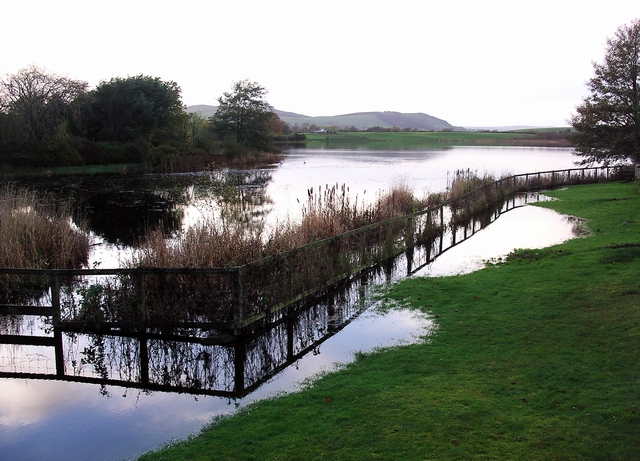
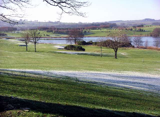
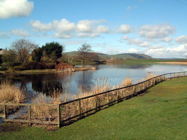
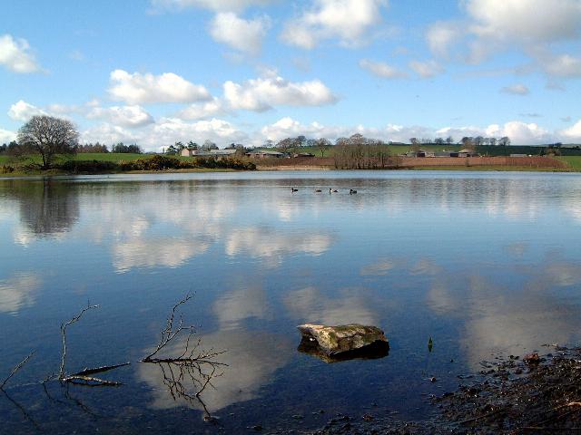
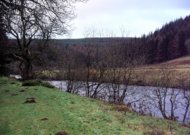
Whitereed Moss is a picturesque woodland area located in Dumfriesshire, Scotland. Spanning over a vast expanse, it is a haven for nature enthusiasts and outdoor adventurers alike. The moss is situated just a few miles from the charming village of Dumfries, making it easily accessible for both locals and tourists.

This woodland paradise is known for its diverse flora and fauna, providing a rich ecosystem for a range of species to thrive. The moss is predominantly covered with a dense carpet of moss and ferns, giving it an ethereal and enchanting appearance. Towering trees, including Scots pines, birches, and oaks, dominate the landscape, offering shade and shelter to an array of wildlife.

Whitereed Moss is home to numerous bird species, making it a birdwatcher's paradise. Visitors may spot the elusive red grouse, the graceful buzzard, or even the majestic golden eagle soaring above. Additionally, the woodland is inhabited by various mammals such as red squirrels, roe deer, and badgers.

The moss provides a tranquil escape from the hustle and bustle of daily life, offering peaceful walking trails for visitors to explore. The paths wind through the forest, allowing visitors to immerse themselves in the natural beauty that surrounds them. There are also picnic areas for visitors to relax and enjoy a meal amidst the serene surroundings.

Overall, Whitereed Moss is a hidden gem in Dumfriesshire, offering a sanctuary for both nature lovers and those seeking a peaceful retreat. Its breathtaking beauty and diverse wildlife make it a must-visit destination for anyone looking to connect with nature in this enchanting part of Scotland.

If you have any feedback on the listing, please let us know in the comments section below.

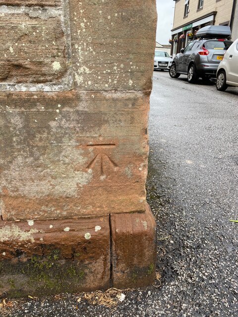
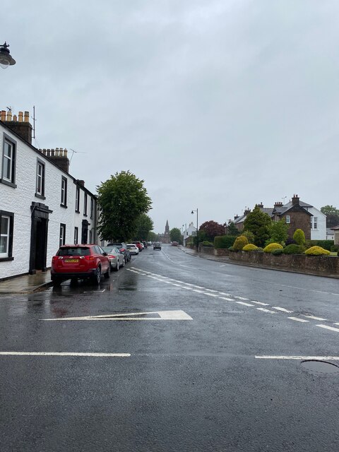
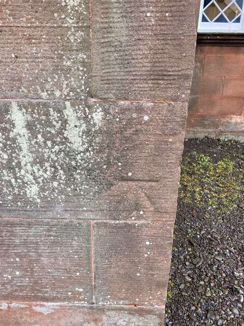
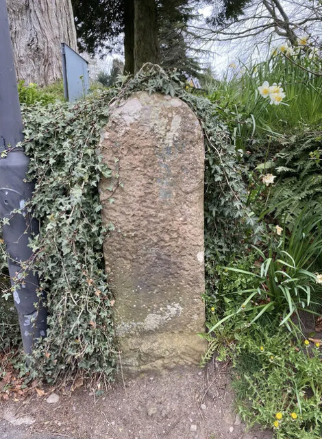
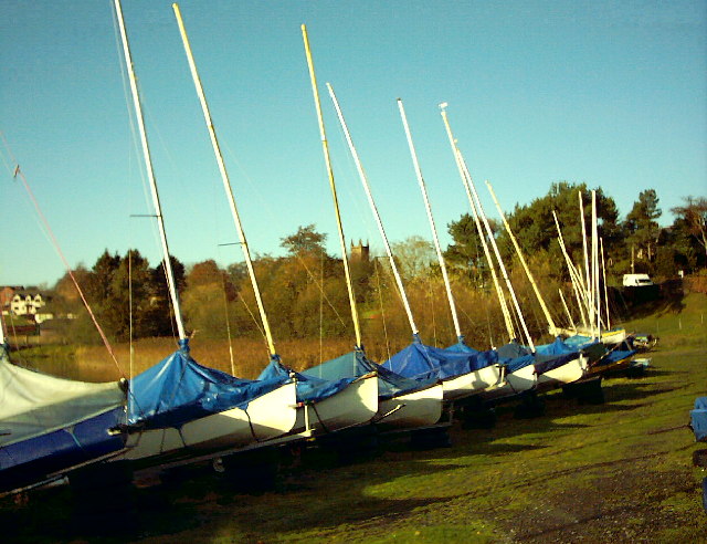
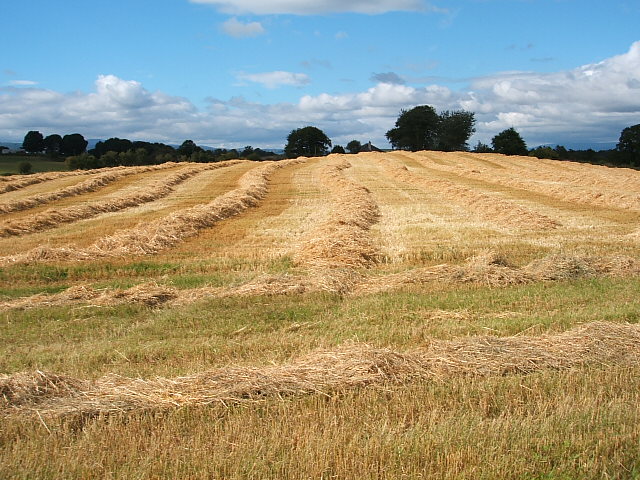
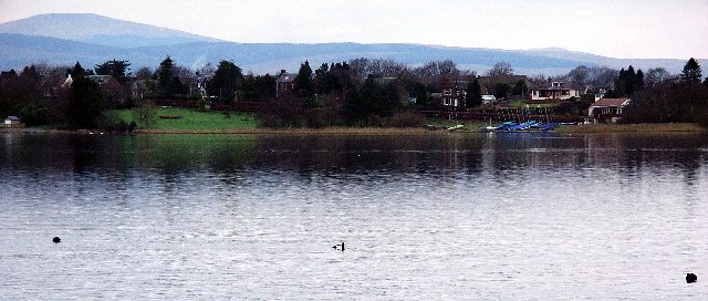
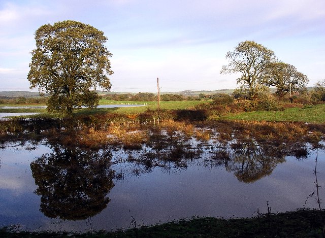
Whitereed Moss Images

Images are sourced within 2km of 55.142645/-3.4510006 or Grid Reference NY0784. Thanks to Geograph Open Source API. All images are credited.

Lochmaben War Memorial Lochmaben’s War Memorial is a statue of a soldier of the King’s Own Scottish Borderers regiment with head bowed and inverted rifle and wearing Tam o'Shanter and puttees. The inscriptions read, “To the glory of God and in ever grateful remembrance of the men of this parish who gave their lives in the Great War 1914-1919”, “Their name liveth for evermore” and “Lo. These are they from suff’rings great.

The memorial stands on a three-stepped square base and plinth set in a memorial garden with raised flower beds at the south end of Main Street at the junction of Lockerbie Road.
Lochmaben War Memorial
Lochmaben’s War Memorial is a statue of a soldier of the King’s Own Scottish Borderers regiment with head bowed and inverted rifle and wearing Tam o'Shanter and puttees. The inscriptions read, “To the glory of God and in ever grateful remembrance of the men of this parish who gave their lives in the Great War 1914-1919”, “Their name liveth for evermore” and “Lo. These are they from suff’rings great. The memorial stands on a three-stepped square base and plinth set in a memorial garden with raised flower beds at the south end of Main Street at the junction of Lockerbie Road.
War Memorial and Garden, Lochmaben Lochmaben’s War Memorial is a statue of a soldier of the King’s Own Scottish Borderers regiment with head bowed and inverted rifle and wearing Tam o'Shanter and puttees. The inscriptions read, “To the glory of God and in ever grateful remembrance of the men of this parish who gave their lives in the Great War 1914-1919”, “Their name liveth for evermore” and “Lo. These are they from suff’rings great.

The memorial stands on a three-stepped square base and plinth set in a memorial garden with raised flower beds at the south end of Main Street at the junction of Lockerbie Road.
War Memorial and Garden, Lochmaben
Lochmaben’s War Memorial is a statue of a soldier of the King’s Own Scottish Borderers regiment with head bowed and inverted rifle and wearing Tam o'Shanter and puttees. The inscriptions read, “To the glory of God and in ever grateful remembrance of the men of this parish who gave their lives in the Great War 1914-1919”, “Their name liveth for evermore” and “Lo. These are they from suff’rings great. The memorial stands on a three-stepped square base and plinth set in a memorial garden with raised flower beds at the south end of Main Street at the junction of Lockerbie Road.
Lochmaben Church Rectangular-plan 4-bay Gothic church at the south end of High Street, built 1819-20

Category A listed building (LB37539 <span class="nowrap"><a title="http://portal.historicenvironment.scot/designation/LB37539" rel="nofollow ugc noopener" href="http://portal.historicenvironment.scot/designation/LB37539">Link</a><img style="margin-left:2px;" alt="External link" title="External link - shift click to open in new window" src="https://s1.geograph.org.uk/img/external.png" width="10" height="10"/></span> Historic Environment Scotland).
Lochmaben Church
Rectangular-plan 4-bay Gothic church at the south end of High Street, built 1819-20 Category A listed building (LB37539 LinkExternal link Historic Environment Scotland).
Lochmaben
Lochmaben
Lochmaben, Town Hall
OS Cut Mark - Lochmaben, Town Hall <span class="nowrap"><a title="https://www.bench-marks.org.uk/bm70198" rel="nofollow ugc noopener" href="https://www.bench-marks.org.uk/bm70198">Link</a><img style="margin-left:2px;" alt="External link" title="External link - shift click to open in new window" src="https://s1.geograph.org.uk/img/external.png" width="10" height="10"/></span>
OS Cut Mark - Lochmaben, Town Hall
Lochmaben looking towards the Town Hall
OS Cut Mark - Lochmaben, Parish Church <span class="nowrap"><a title="https://www.bench-marks.org.uk/bm69993" rel="nofollow ugc noopener" href="https://www.bench-marks.org.uk/bm69993">Link</a><img style="margin-left:2px;" alt="External link" title="External link - shift click to open in new window" src="https://s1.geograph.org.uk/img/external.png" width="10" height="10"/></span>
OS Cut Mark - Lochmaben, Parish Church
Old Milestone by the B7020, Main Road, Lochmaben War Memorial By the B7020, in parish of Lochmaben (Annandale District), Lochmaben, just before junction with A709 by War Memorial.

Inscription once read:- : (Annan / 13) :

Surveyed

Milestone Society National ID: DG_ANLM13
Old Milestone by the B7020, Main Road, Lochmaben War Memorial
By the B7020, in parish of Lochmaben (Annandale District), Lochmaben, just before junction with A709 by War Memorial. Inscription once read:- : (Annan / 13) : Surveyed Milestone Society National ID: DG_ANLM13
Annandale Sailing Club, Lochmaben and Lochmaben Church in the background Annandale Sailing Club sails and races on Castle Loch, the largest of several lochs in the area.
Annandale Sailing Club, Lochmaben and Lochmaben Church in the background
Annandale Sailing Club sails and races on Castle Loch, the largest of several lochs in the area.
Arable farming Harvesting of crops at farmland near Lochmaben
Arable farming
Harvesting of crops at farmland near Lochmaben
Lochmaben The town stands on the shore of Castle Loch. The area has been inhabited since c.4000BC. There were loch dwellers in crannogs on the loch, one of which has been dated to 630AD. Lochmaben became a Royal Burgh in 1447, and in 1579 James IV granted the town a Royal Charter at a cost of £40. The town hall was built in 1723 and still functions as the local government administration office. Famous residents have included Robert the Bruce, and William Paterson, founder of the Bank of England.
Lochmaben
The town stands on the shore of Castle Loch. The area has been inhabited since c.4000BC. There were loch dwellers in crannogs on the loch, one of which has been dated to 630AD. Lochmaben became a Royal Burgh in 1447, and in 1579 James IV granted the town a Royal Charter at a cost of £40. The town hall was built in 1723 and still functions as the local government administration office. Famous residents have included Robert the Bruce, and William Paterson, founder of the Bank of England.
Reflections in flooded fields near Lochmaben Heavy rain during the preceding week had caused quite severe flooding in the area, creating new temporary 'lakes'. The pond in the field in the foreground is a permanent feature, but on this occasion was much deeper than usual.
Reflections in flooded fields near Lochmaben
Heavy rain during the preceding week had caused quite severe flooding in the area, creating new temporary 'lakes'. The pond in the field in the foreground is a permanent feature, but on this occasion was much deeper than usual.
Mill Loch, Lochmaben Flooded after several days of heavy rain. One of the three lochs surrounding Lochmaben, the others being Castle Loch, the largest, and Kirk Loch.
Mill Loch, Lochmaben
Flooded after several days of heavy rain. One of the three lochs surrounding Lochmaben, the others being Castle Loch, the largest, and Kirk Loch.
Lochmaben town centre Showing the town hall, built in 1723, and the statue of Robert the Bruce, a local resident.
Lochmaben town centre
Showing the town hall, built in 1723, and the statue of Robert the Bruce, a local resident.
Lochmaben golf course and Kirk Loch An 18 hole course set amongst beautiful scenery, including Kirk Loch. Hazards include geese on the greens!
Lochmaben golf course and Kirk Loch
An 18 hole course set amongst beautiful scenery, including Kirk Loch. Hazards include geese on the greens!
Mill Loch, Lochmaben One of the three lochs surrounding Lochmaben. Cf. <a href="https://www.geograph.org.uk/photo/100001">NY0883 : Mill Loch, Lochmaben</a>
Mill Loch, Lochmaben
One of the three lochs surrounding Lochmaben. Cf. NY0883 : Mill Loch, Lochmaben
Mill Loch, Lochmaben One of the three Lochmaben lochs. The farm, centre, on the far side of the loch is right on the southern edge of this square.
Mill Loch, Lochmaben
One of the three Lochmaben lochs. The farm, centre, on the far side of the loch is right on the southern edge of this square.
Show me another place!

Whitereed Moss is located at Grid Ref: NY0784 (Lat: 55.142645, Lng: -3.4510006)

Unitary Authority: Dumfries and Galloway

Police Authority: Dumfries and Galloway

What 3 Words

///regress.plantings.voters. Near Lochmaben, Dumfries & Galloway

Related Wikis

Water of Ae

The Water of Ae is a tributary of the River Annan into which it flows west of Lockerbie in Dumfries and Galloway administrative county of South West Scotland...

Lochmaben railway station

Lochmaben railway station was a station which served Lochmaben, in the Scottish county of Dumfries and Galloway. It was served by trains on a local line...

Lochmaben F.C.

Lochmaben Football Club is a Scottish football based in Lochmaben, Dumfries and Galloway. The club took on its current name after a merger with Crichton...
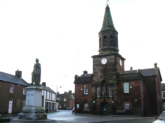
Lochmaben Town Hall

Lochmaben Town Hall is a municipal building in the High Street in Lochmaben, Dumfries and Galloway, Scotland. The structure, which accommodates a library...

Lochmaben Hospital

Lochmaben Hospital is a health facility in Woodlands Drive, Lochmaben, Dumfries and Galloway, Scotland. It is managed by NHS Dumfries and Galloway. �...

Battle of Lochmaben Fair

The Battle of Lochmaben Fair was an engagement in Lochmaben, Scotland, on 22 July 1484 between Scottish loyalists to James III of Scotland and the rebels...
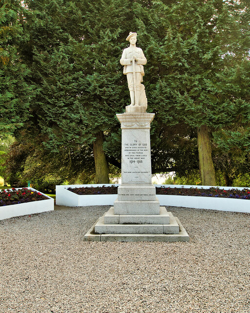
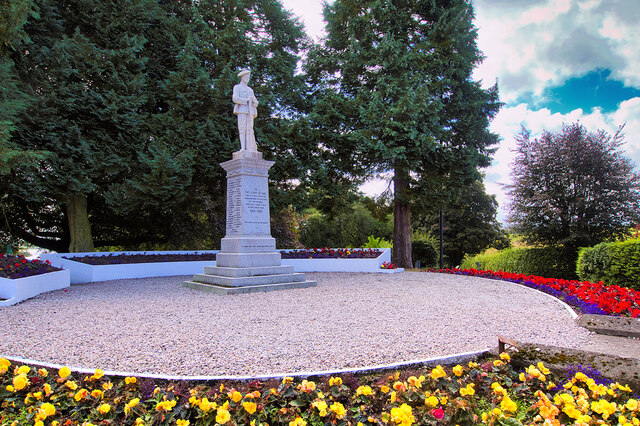
Lochmaben

Lochmaben (Gaelic: Loch Mhabain) is a small town and civil parish in Scotland, and site of a castle. It lies 4 miles (6 km) west of Lockerbie, in Dumfries...

Old Lochmaben Castle

Lochmaben Castle was a 12th-century castle on the spit of land between Loch Kirk and Loch Castle, in Lochmaben, Scotland.The motte and bailey castle was...

Nearby Amenities

Located within 500m of 55.142645,-3.4510006
Power: pole
Lat/Long: 55.1383127/-3.4504124
Power: pole
Lat/Long: 55.1389458/-3.4513887
The data included in this document is from www.openstreetmap.org. The data is made available under ODbL.

Have you been to Whitereed Moss?

Leave your review of Whitereed Moss below (or comments, questions and feedback).