Castle Hill
Settlement in Sussex Wealden
England
Castle Hill
Castle Hill is a historic and picturesque village located in Sussex, England. Situated on the southeastern coast of the country, it is a popular destination for tourists and locals alike. The village gets its name from the prominent hill on which it is built, offering breathtaking views of the surrounding countryside and the English Channel.
One of the main attractions in Castle Hill is its ancient castle ruins. The castle, believed to have been built in the 11th century, was once a strategic stronghold for the region. Today, visitors can explore the remains of the castle walls and towers, providing a glimpse into its rich history. Additionally, the castle grounds host various events and festivals throughout the year, attracting visitors from far and wide.
The village itself is a charming and quaint place, with traditional English cottages lining its narrow streets. It exudes a sense of peace and tranquility, making it a perfect escape from the bustling city life. The local community is welcoming and friendly, with a handful of cozy pubs, cafes, and shops that offer a taste of Sussex's culture and cuisine.
Nature enthusiasts will be delighted by the surrounding countryside, as Castle Hill is nestled amidst rolling hills and lush green fields. The area offers numerous walking trails and outdoor activities, allowing visitors to immerse themselves in the beauty of the natural landscape.
Overall, Castle Hill in Sussex is a captivating destination that combines history, natural beauty, and a warm community spirit. Whether exploring the castle ruins, strolling through the village, or enjoying the scenic countryside, visitors are guaranteed a memorable experience in this idyllic English setting.
If you have any feedback on the listing, please let us know in the comments section below.
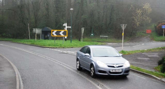
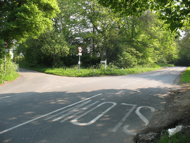
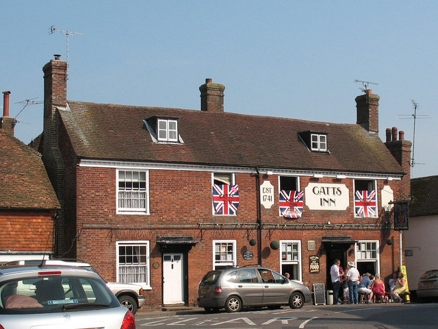
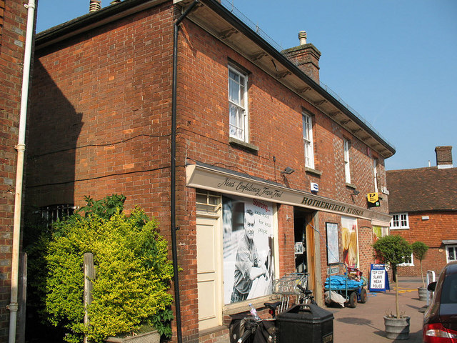
Castle Hill Images
Images are sourced within 2km of 51.030243/0.21105595 or Grid Reference TQ5527. Thanks to Geograph Open Source API. All images are credited.


Castle Hill is located at Grid Ref: TQ5527 (Lat: 51.030243, Lng: 0.21105595)
Administrative County: East Sussex
District: Wealden
Police Authority: Sussex
What 3 Words
///campsites.city.fondest. Near Town Row, East Sussex
Nearby Locations
Related Wikis

Rotherfield
Rotherfield is a village and civil parish in the Wealden District of East Sussex, England. It is one of the largest parishes in East Sussex. There are...

Argos Hill Mill, Mayfield
Argos Hill Mill is a grade II* listed post mill at Argos Hill, Mayfield, East Sussex, England As of 2017 it is in the process of restoration by the Argos...

Crowborough railway station
Crowborough railway station is on the Uckfield branch of the Oxted Line in England, serving the town of Crowborough, East Sussex. It is 39 miles 11 chains...
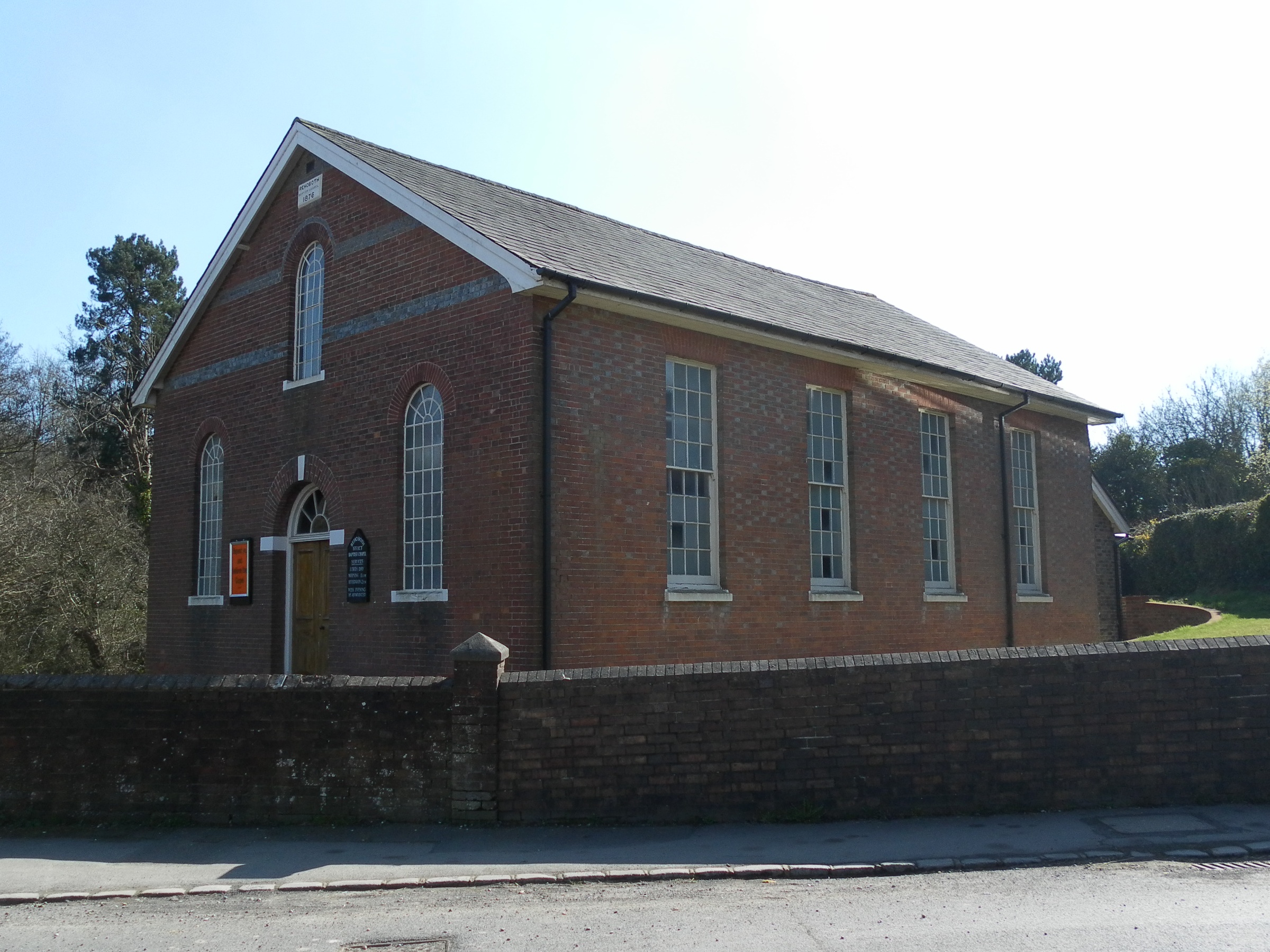
Rehoboth Chapel, Jarvis Brook
The Rehoboth Chapel is a Strict Baptist place of worship in the village of Jarvis Brook in the English county of East Sussex. The red- and blue-brick building...

Jarvis Brook
Jarvis Brook is a village between Crowborough and Rotherfield in the Borough of Wealden East Sussex. Crowborough Railway Station, on the Uckfield branch...

Rotherfield and Mark Cross railway station
Rotherfield and Mark Cross (also Rotherfield) is the name of a closed station on the Eridge - Heathfield - Polegate railway (the Cuckoo Line) in East Sussex...

Crowborough Country Park
Crowborough Country Park is a 7.3-hectare (18-acre) Local Nature Reserve on the western outskirts of Crowborough in East Sussex. It is owned and managed...

Mayfield railway station
Mayfield was a railway station on the now closed Eridge to Polegate cross country line (the Cuckoo Line). It was built by London, Brighton and South Coast...
Nearby Amenities
Located within 500m of 51.030243,0.21105595Have you been to Castle Hill?
Leave your review of Castle Hill below (or comments, questions and feedback).