Castle Wood
Wood, Forest in Sussex Wealden
England
Castle Wood
Castle Wood is a picturesque woodland located in the county of Sussex, England. Situated near the village of Wood, this forested area covers an expansive 100 acres of land. The wood is renowned for its natural beauty and serves as a popular destination for nature enthusiasts and hikers alike.
The wood is named after the nearby Castle, which was built during the medieval period and has since been reduced to ruins. The remnants of the castle can still be seen within the boundaries of Castle Wood, adding a touch of historical allure to the surroundings.
The forest is predominantly composed of deciduous trees, including oak, beech, and ash, which provide a vibrant and ever-changing backdrop throughout the seasons. The dense foliage creates a serene and secluded atmosphere, offering visitors a chance to escape the hustle and bustle of everyday life.
Numerous walking trails crisscross the wood, allowing visitors to explore its enchanting beauty at their own pace. These trails range in difficulty, catering to both casual strollers and more avid hikers. Along the way, visitors may encounter a variety of wildlife, including deer, foxes, and a myriad of bird species, adding to the allure of the natural setting.
Castle Wood is also home to a diverse range of flora, with carpets of bluebells adorning the forest floor in the spring. This vibrant display of color attracts visitors from far and wide, making it a particularly popular time to visit.
Overall, Castle Wood in Sussex offers a tranquil and idyllic retreat, allowing visitors to immerse themselves in the beauty of nature while experiencing a touch of history.
If you have any feedback on the listing, please let us know in the comments section below.
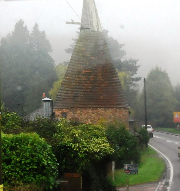
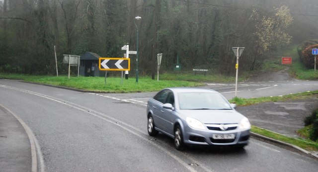
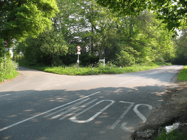
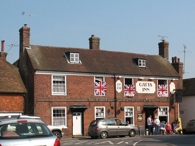
Castle Wood Images
Images are sourced within 2km of 51.029252/0.21353313 or Grid Reference TQ5527. Thanks to Geograph Open Source API. All images are credited.


Castle Wood is located at Grid Ref: TQ5527 (Lat: 51.029252, Lng: 0.21353313)
Administrative County: East Sussex
District: Wealden
Police Authority: Sussex
What 3 Words
///domain.notice.firm. Near Town Row, East Sussex
Nearby Locations
Related Wikis

Argos Hill Mill, Mayfield
Argos Hill Mill is a grade II* listed post mill at Argos Hill, Mayfield, East Sussex, England As of 2017 it is in the process of restoration by the Argos...

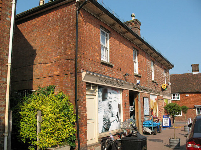
Rotherfield
Rotherfield is a village and civil parish in the Wealden District of East Sussex, England. It is one of the largest parishes in East Sussex. There are...

Crowborough railway station
Crowborough railway station is on the Uckfield branch of the Oxted Line in England, serving the town of Crowborough, East Sussex. It is 39 miles 11 chains...
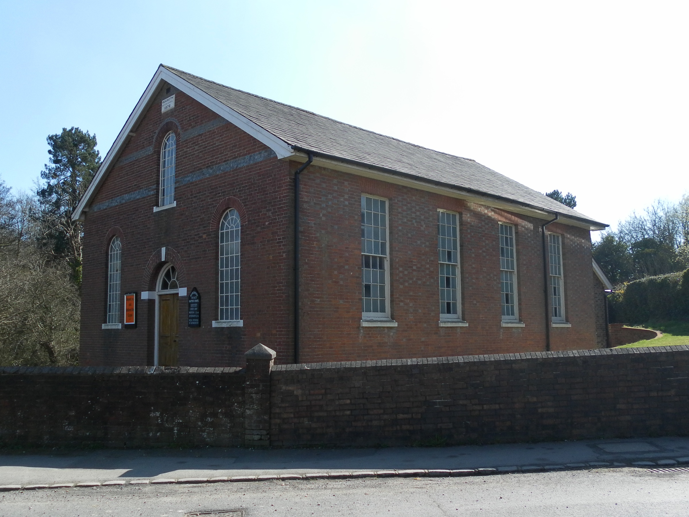
Rehoboth Chapel, Jarvis Brook
The Rehoboth Chapel is a Strict Baptist place of worship in the village of Jarvis Brook in the English county of East Sussex. The red- and blue-brick building...

Rotherfield and Mark Cross railway station
Rotherfield and Mark Cross (also Rotherfield) is the name of a closed station on the Eridge - Heathfield - Polegate railway (the Cuckoo Line) in East Sussex...

Mayfield railway station
Mayfield was a railway station on the now closed Eridge to Polegate cross country line (the Cuckoo Line). It was built by London, Brighton and South Coast...

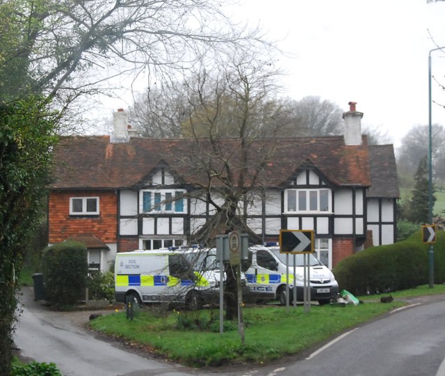
Jarvis Brook
Jarvis Brook is a village between Crowborough and Rotherfield in the Borough of Wealden East Sussex. Crowborough Railway Station, on the Uckfield branch...

Crowborough Country Park
Crowborough Country Park is a 7.3-hectare (18-acre) Local Nature Reserve on the western outskirts of Crowborough in East Sussex. It is owned and managed...
Nearby Amenities
Located within 500m of 51.029252,0.21353313Have you been to Castle Wood?
Leave your review of Castle Wood below (or comments, questions and feedback).