Kame Wood

Wood, Forest in Lanarkshire

Scotland

Kame Wood

Quad bike tracks on Broomy Law Looking towards the un-named rise north-east of the summit.
Quad bike tracks on Broomy Law Credit: Alan O'Dowd

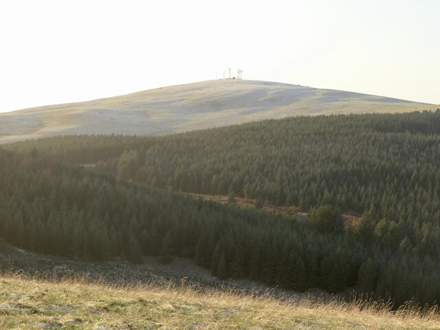
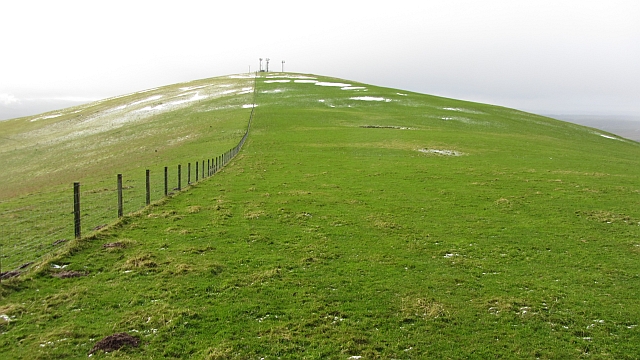
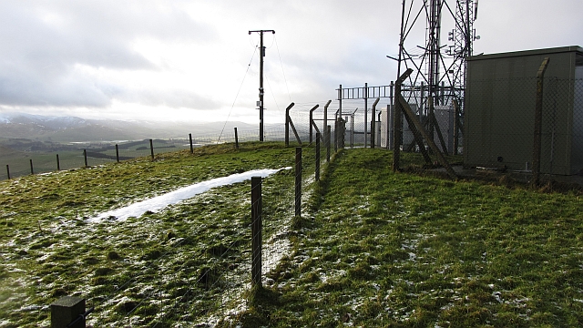
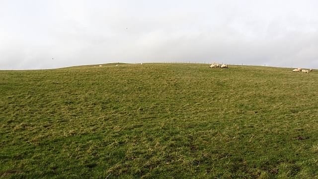
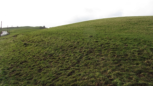
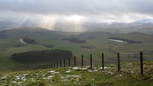
Kame Wood is a picturesque forest located in Lanarkshire, Scotland. Situated in the heart of the countryside, this woodland area spans over a vast expanse of approximately 200 hectares. The wood derives its name from the geological feature known as a "kame," which refers to a small hill formed by glacial deposits.

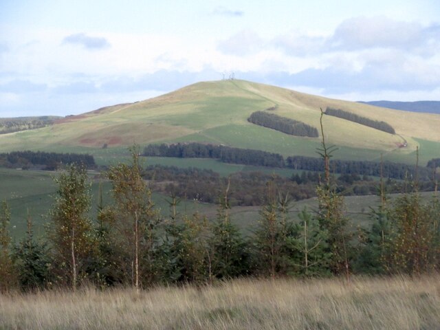
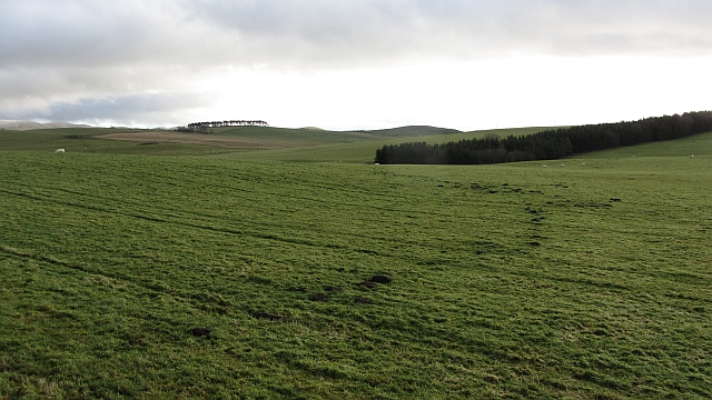
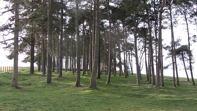
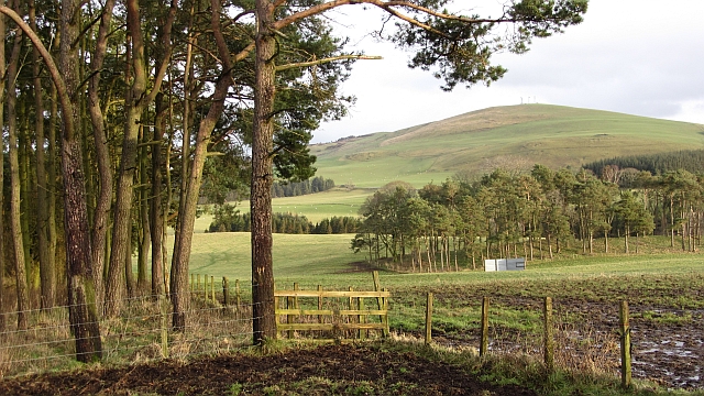
The forest is predominantly composed of native tree species such as oak, birch, and rowan, creating a diverse and enchanting landscape. The lush greenery and dense canopy provide a haven for a variety of wildlife, making it a popular destination for nature enthusiasts and birdwatchers.

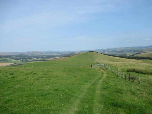
Kame Wood offers numerous walking trails and pathways, allowing visitors to explore its natural beauty at their own pace. These well-maintained paths lead to charming spots, including tranquil ponds and streams, where visitors can enjoy the serene atmosphere and observe the local flora and fauna.

In addition to its natural splendor, Kame Wood also holds historical significance. The forest is home to ancient ruins and remnants of settlements dating back centuries, providing a glimpse into the area's rich cultural heritage.

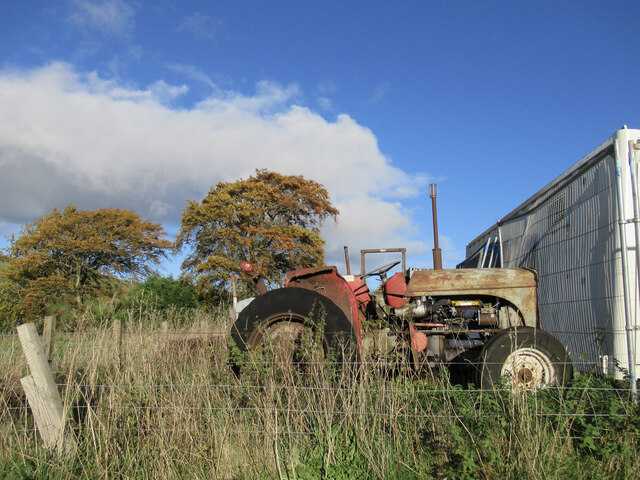
Due to its accessibility and proximity to nearby towns and villages, Kame Wood attracts visitors from all walks of life. Whether it be for a leisurely stroll, a family picnic, or a day of wildlife spotting, this woodland gem offers a peaceful retreat from the hustle and bustle of everyday life. With its natural beauty and historical intrigue, Kame Wood is a must-visit destination for those seeking solace in nature's embrace.

If you have any feedback on the listing, please let us know in the comments section below.
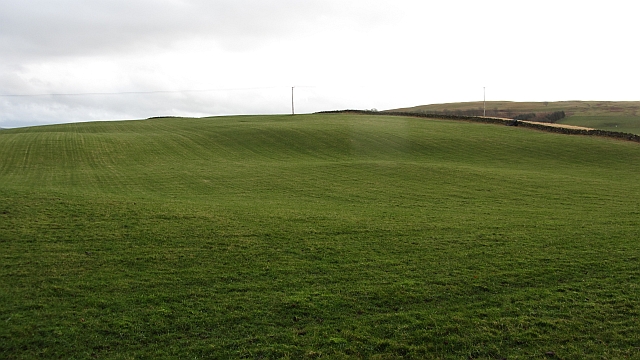
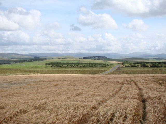
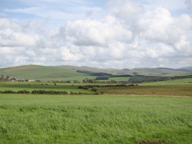
Kame Wood Images

Images are sourced within 2km of 55.668173/-3.4816482 or Grid Reference NT0642. Thanks to Geograph Open Source API. All images are credited.

Quad bike tracks on Broomy Law Looking towards the un-named rise north-east of the summit.
Quad bike tracks on Broomy Law
Looking towards the un-named rise north-east of the summit.
Old tractor near Elsrickle I wasn't able to see anything to identify what make of tractor this is, but a looks a good few decades old.
Old tractor near Elsrickle
I wasn't able to see anything to identify what make of tractor this is, but a looks a good few decades old.
Broomy Law View from Sandy Hill.
Broomy Law
View from Sandy Hill.
Broomy Law Mast topped hill.
Broomy Law
Mast topped hill.
Broomy Law A dip on the northeast ridge of Broomy Law. The summit is amongst masts, but is accessible.
Broomy Law
A dip on the northeast ridge of Broomy Law. The summit is amongst masts, but is accessible.
Summit, Broomy Law With gratitude to the telecoms companies who have left the summit outwith their enclosures.
Summit, Broomy Law
With gratitude to the telecoms companies who have left the summit outwith their enclosures.
Grassland, Hyndshawland They have a mole.
Grassland, Hyndshawland
They have a mole.
Strip wood, Strathbogie A grown up and grown out shelterbelt.
Strip wood, Strathbogie
A grown up and grown out shelterbelt.
Castle Hill Sheep graze on a small hill north of Biggar. There is a hill fort at the summit.
Castle Hill
Sheep graze on a small hill north of Biggar. There is a hill fort at the summit.
Slopes of Castle Hill Grassland beside the A702.
Slopes of Castle Hill
Grassland beside the A702.
Masts and enclosures, Broomy Law There are several masts in this field which is also the summit of Broomy Law.
Masts and enclosures, Broomy Law
There are several masts in this field which is also the summit of Broomy Law.
Open cabinet, Broomy Law A cabinet containing circuit boards is open and exposed to the elements. The enclosure is secure, suggesting that this is a weather event. There had been a severe storm a few days earlier and winds up here would have been in excess of 100kph.
Open cabinet, Broomy Law
A cabinet containing circuit boards is open and exposed to the elements. The enclosure is secure, suggesting that this is a weather event. There had been a severe storm a few days earlier and winds up here would have been in excess of 100kph.
Fence, Broomy Law A view from near the summit over an electric fence towards farmland near Biggar and Skirling. Shaded areas have kept their thin layer of snow.
Fence, Broomy Law
A view from near the summit over an electric fence towards farmland near Biggar and Skirling. Shaded areas have kept their thin layer of snow.
Grassland, Middle Mains Rolling hill country north of  Biggar.
Grassland, Middle Mains
Rolling hill country north of Biggar.
Clubhead Plantation and Kame Wood A pair of woodlands at Strathbogie near Elsrickle. There is also a view over to Broomy Law.
Clubhead Plantation and Kame Wood
A pair of woodlands at Strathbogie near Elsrickle. There is also a view over to Broomy Law.
View of the Tweedsmuir Hills A view of the Tweedsmuir Hills, looking across a ripening barley field, with Broad Law on the far right in the distance.
View of the Tweedsmuir Hills
A view of the Tweedsmuir Hills, looking across a ripening barley field, with Broad Law on the far right in the distance.
Landscape near Elsrickle Looking over the Elsrickle area with the Broughton Heights rising in the right background.
Landscape near Elsrickle
Looking over the Elsrickle area with the Broughton Heights rising in the right background.
Broomy Law Parked on the A721 where it reaches the ridge, then a bit of a trudge before the shorter grass and easier going was reached.
Name: Broomy Law
Hill number: 1822
Height: 426m / 1398ft
Area: 28A: Firth of Forth to the River Tweed
Class: Ma
Grid ref: NT 08546 42875
Summit feature: no feature: east of masts before fence line
Drop: 165m
Col: 261m  NT085442
Broomy Law
Parked on the A721 where it reaches the ridge, then a bit of a trudge before the shorter grass and easier going was reached. Name: Broomy Law Hill number: 1822 Height: 426m / 1398ft Area: 28A: Firth of Forth to the River Tweed Class: Ma Grid ref: NT 08546 42875 Summit feature: no feature: east of masts before fence line Drop: 165m Col: 261m NT085442
Show me another place!

Kame Wood is located at Grid Ref: NT0642 (Lat: 55.668173, Lng: -3.4816482)

Unitary Authority: South Lanarkshire

Police Authority: Lanarkshire

What 3 Words

///ramming.innocence.resists. Near Biggar, South Lanarkshire

Related Wikis

Brownsbank

Brownsbank (Brounsbank in Scots) is a cottage close to the small settlement of Candymill to the north of Biggar in Scotland. It is best known as the former...

Elsrickle

Elsrickle is a village in South Lanarkshire, Scotland. It lies on Blackmount Hill, which is at the end of the Pentland Hills. An elrick is an old place...

Skirling

Skirling is a parish, community council area and village in Peeblesshire in the Scottish Borders situated 2+1⁄2 miles east of Biggar in Lanarkshire. Biggar...

Walston, South Lanarkshire

Walston is a hamlet in the middle of black mount area of South Lanarkshire. == History == Patrick Molleson in the Old Statistical Account records that...

Nearby Amenities

Located within 500m of 55.668173,-3.4816482
Power: pole
Lat/Long: 55.6654777/-3.4863995
Power: pole
Lat/Long: 55.6671085/-3.4889959
Power: pole
Lat/Long: 55.6648755/-3.4854339
Power: pole
Lat/Long: 55.6677257/-3.4895752
Power: pole
Lat/Long: 55.6643097/-3.4845434
Power: pole
Lat/Long: 55.6666758/-3.48832
Power: pole
Lat/Long: 55.6660858/-3.4873597
Power: pole
Lat/Long: 55.6653059/-3.4844065
Power: pole
Lat/Long: 55.6657316/-3.4834079
Power: pole
Lat/Long: 55.6658478/-3.4831009
The data included in this document is from www.openstreetmap.org. The data is made available under ODbL.

Have you been to Kame Wood?

Leave your review of Kame Wood below (or comments, questions and feedback).