Lizzie Brice's Strip
Wood, Forest in Midlothian
Scotland
Lizzie Brice's Strip
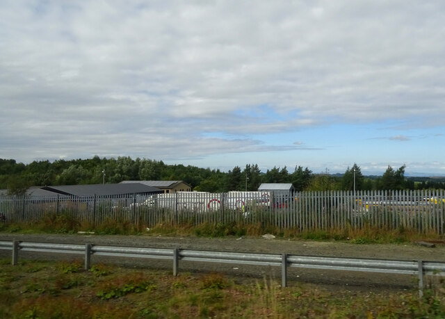
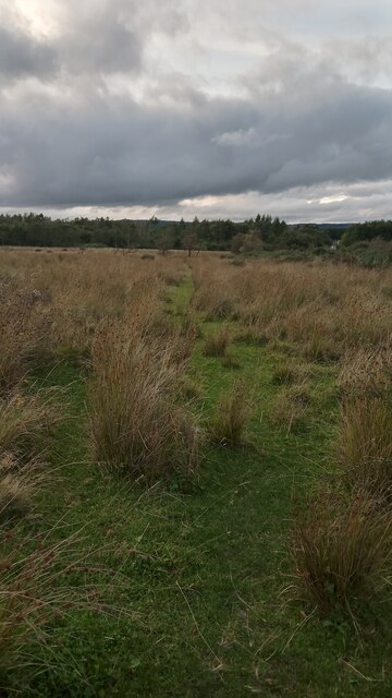
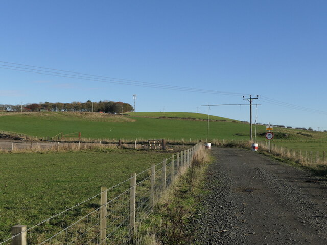
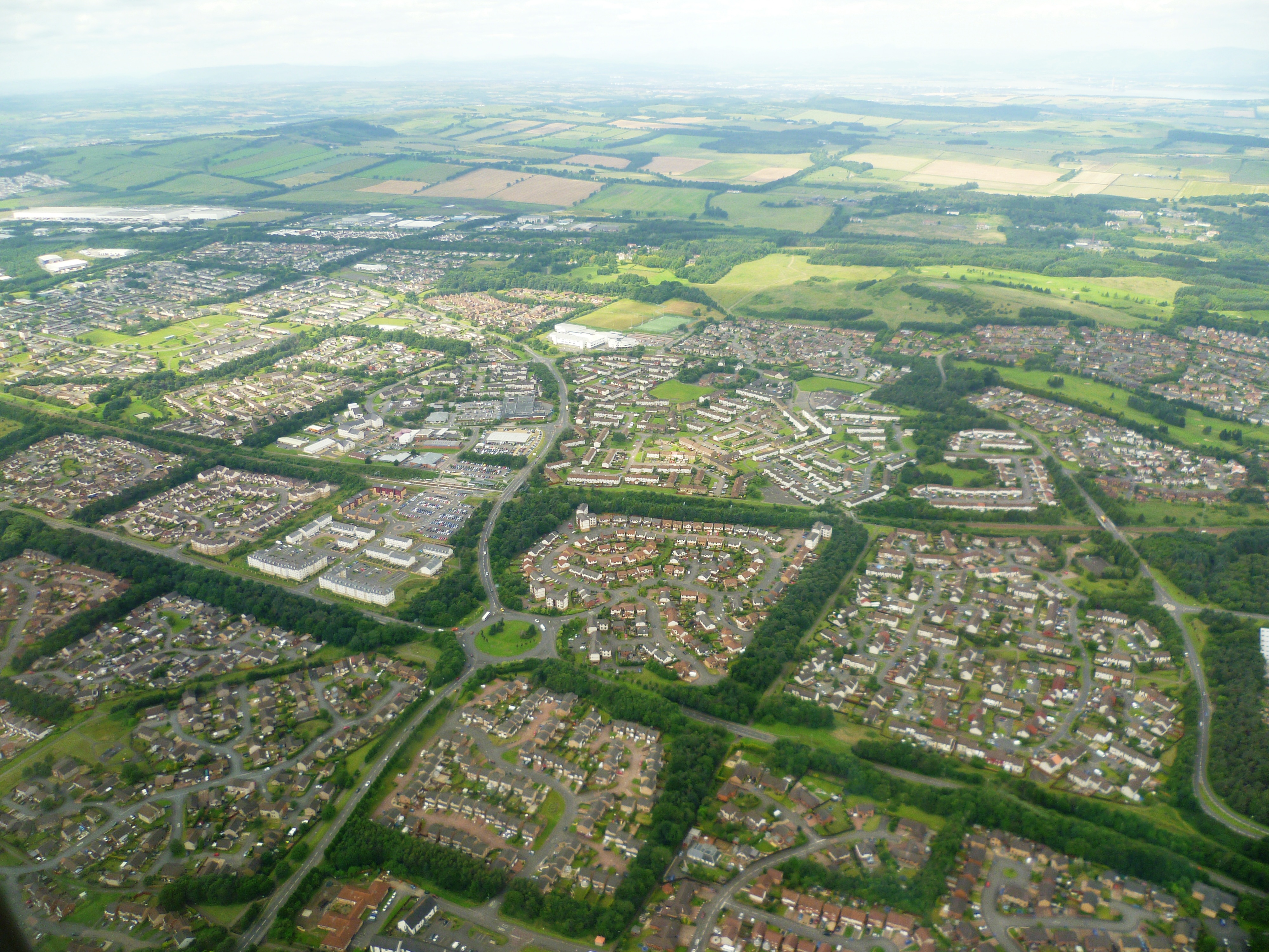
Lizzie Brice's Strip is a picturesque woodland located in Midlothian, Scotland. Nestled within a larger forested area, this particular strip of land holds significant importance due to its unique features and rich biodiversity.
The strip is characterized by a dense canopy of trees, predominantly composed of native woodland species such as oak, birch, and pine. The tall and majestic trees create a serene and peaceful atmosphere, attracting nature enthusiasts and hikers alike. The forest floor is covered with a carpet of mosses, ferns, and wildflowers, adding to the enchanting beauty of the area.
The strip is intersected by a narrow trail that meanders through the woods, allowing visitors to explore its hidden treasures. Along the way, one can observe various wildlife species, including deer, foxes, and a plethora of bird species. The area is also known for its diverse insect population, with butterflies and dragonflies fluttering among the foliage.
Lizzie Brice's Strip is a haven for nature conservationists and researchers due to its unique flora and fauna. The woodland provides an ideal habitat for several rare plant species, including delicate orchids and vibrant bluebells that bloom during the spring season.
The strip is easily accessible from nearby towns and is a popular destination for both locals and tourists seeking respite from the hustle and bustle of city life. Its tranquil ambiance, coupled with its natural beauty, makes Lizzie Brice's Strip an ideal location for nature walks, birdwatching, and appreciating the wonders of the Scottish countryside.
If you have any feedback on the listing, please let us know in the comments section below.
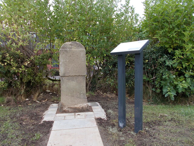
Lizzie Brice's Strip Images
Images are sourced within 2km of 55.882562/-3.4914694 or Grid Reference NT0666. Thanks to Geograph Open Source API. All images are credited.


Lizzie Brice's Strip is located at Grid Ref: NT0666 (Lat: 55.882562, Lng: -3.4914694)
Unitary Authority: West Lothian
Police Authority: The Lothians and Scottish Borders
What 3 Words
///swimsuits.share.cats. Near Mid Calder, West Lothian
Nearby Locations
Related Wikis
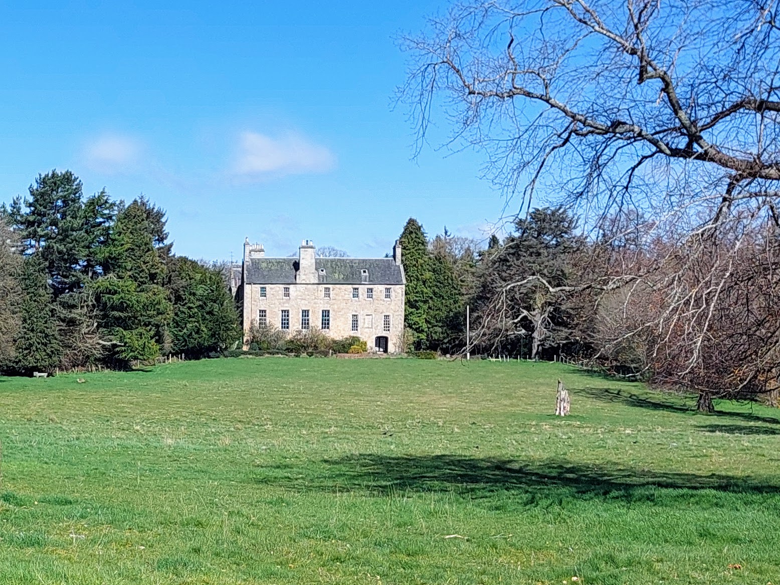
Calder House
Calder House is a historic Scottish country house in Mid Calder, Scotland, the family seat of the Sandilands family since 1348, and deemed to be one of...
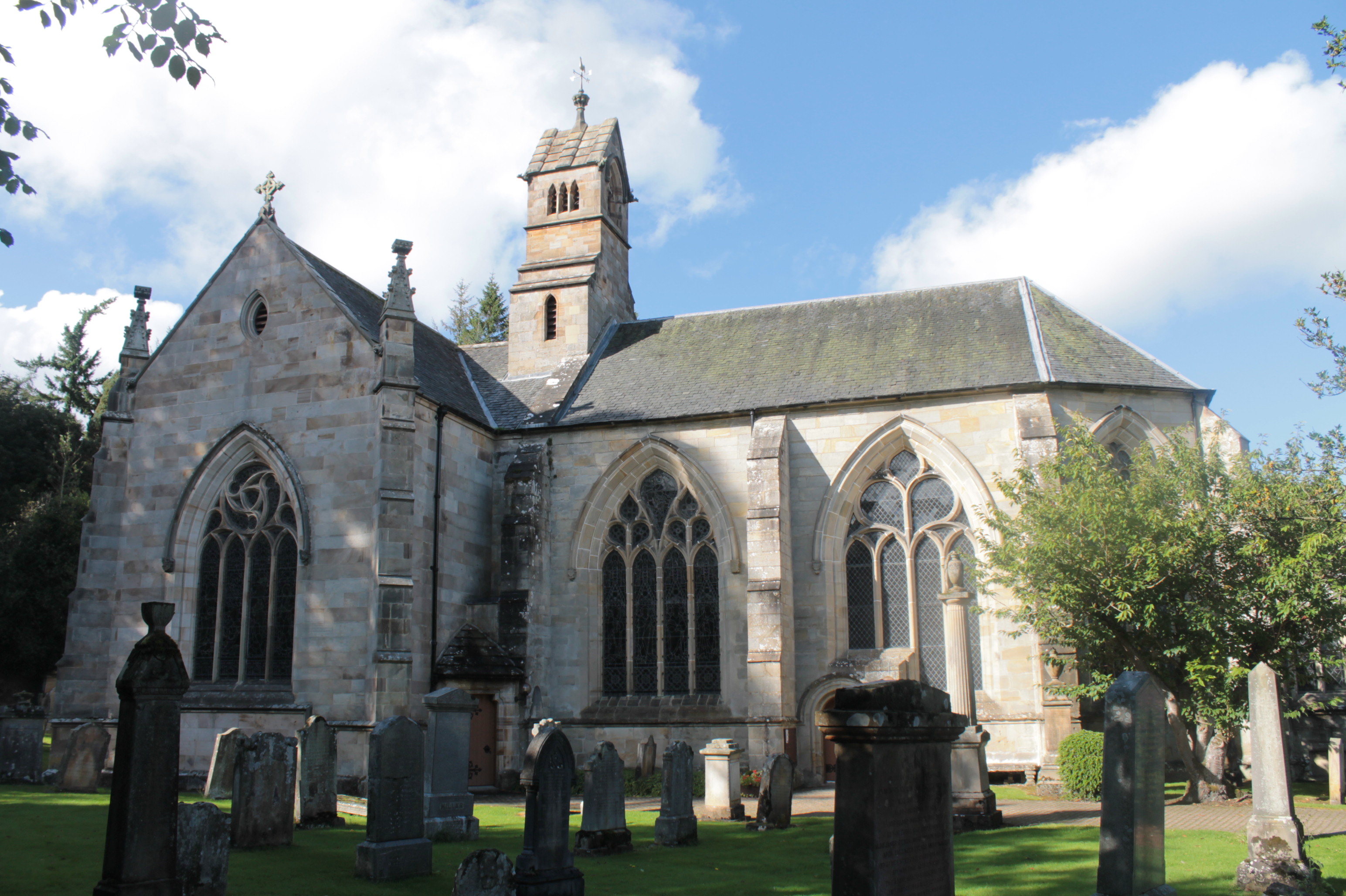
Kirk of Calder
Kirk of Calder is a medieval church in Mid Calder, West Lothian. It is listed as a Category A building by Historic Environment Scotland. The church is...
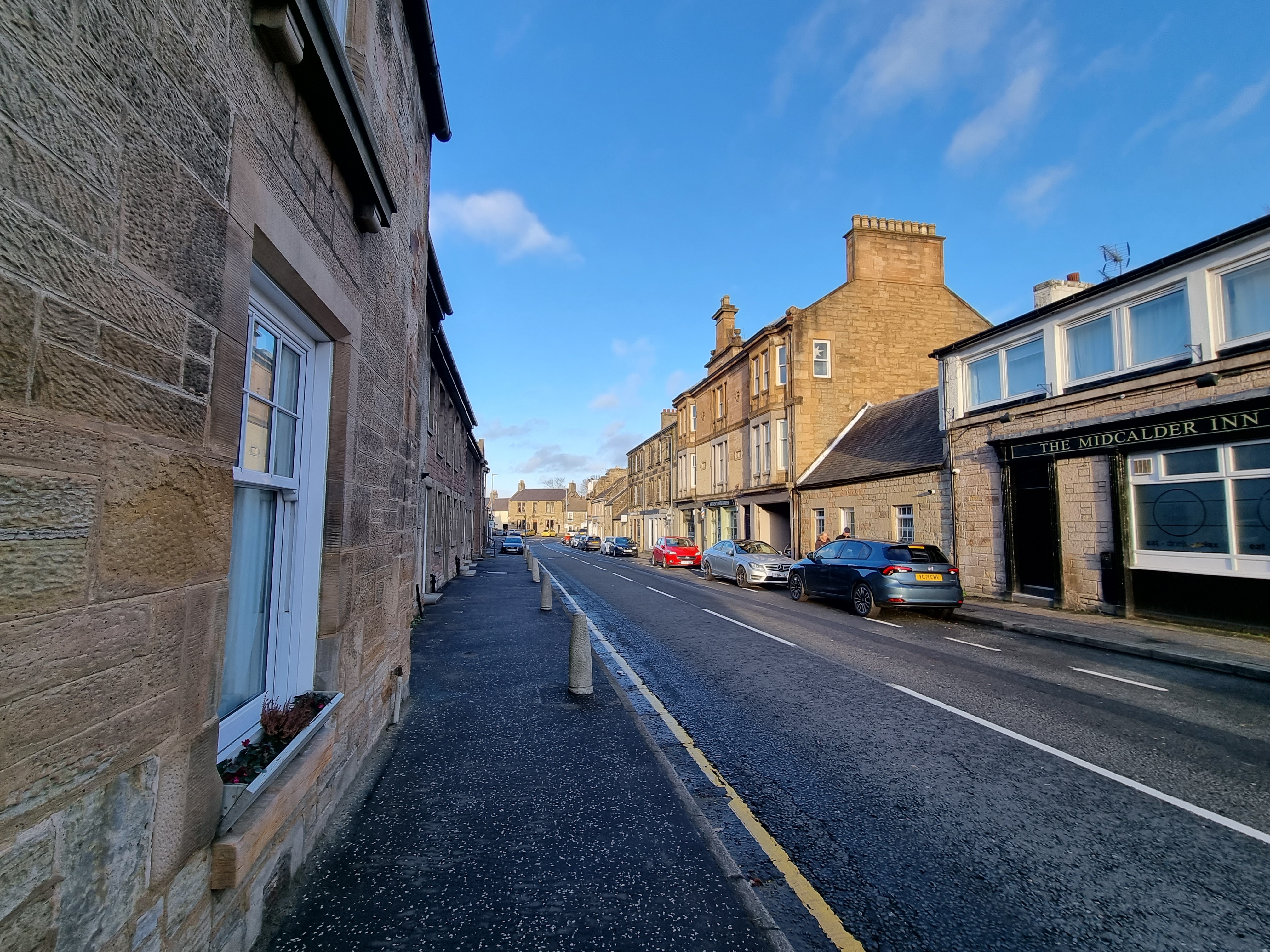
Mid Calder
Mid Calder (Scots: Mid Calder; Scottish Gaelic: Caladar Mheadhain) is a village in West Lothian, Scotland. It is located on a steep hill overlooking the...

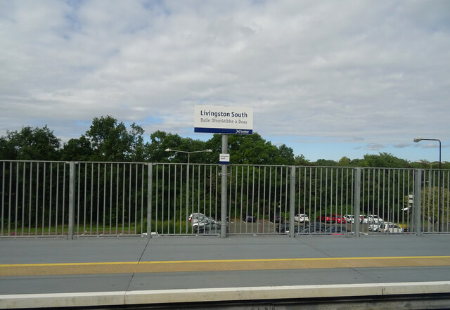
Livingston South railway station
Livingston South railway station is one of two railway stations serving Livingston in West Lothian, Scotland. It is located on the Shotts Line, 14 miles...

The Centre (Livingston)
The Centre is the name of a shopping centre in Livingston, Scotland. Formerly known as 'Livingston Regional Centre' before becoming the more widely recognised...
The James Young High School
The James Young High School is a secondary school in Dedridge, Livingston, West Lothian, Scotland. The school opened in 1982 and was named after James...
Livingston, West Lothian
Livingston (Scots: Leivinstoun, Scottish Gaelic: Baile Dhunlèibhe) is the largest town in West Lothian, Scotland. Designated in 1962, it is the fourth...
Dedridge
Dedridge is an area in the town of Livingston in West Lothian, Scotland. It is located in the south of the town, just south of the Almondvale area, and...
Nearby Amenities
Located within 500m of 55.882562,-3.4914694Have you been to Lizzie Brice's Strip?
Leave your review of Lizzie Brice's Strip below (or comments, questions and feedback).