East Munday Muir

Wood, Forest in Perthshire

Scotland

East Munday Muir

A9, northbound The A9 is a strategic link between the Highlands of Scotland and the Central Belt. It runs 279 miles from junction 5 of the M9 at Polmont to Scrabster. Originally it ran from Edinburgh.
<span class="nowrap"><a title="https://www.sabre-roads.org.uk/wiki/index.php?title=A9" rel="nofollow ugc noopener" href="https://www.sabre-roads.org.uk/wiki/index.php?title=A9">Link</a><img style="margin-left:2px;" alt="External link" title="External link - shift click to open in new window" src="https://s1.geograph.org.uk/img/external.png" width="10" height="10"/></span>
A9, northbound Credit: N Chadwick

The requested URL returned error: 429 Too Many Requests

If you have any feedback on the listing, please let us know in the comments section below.

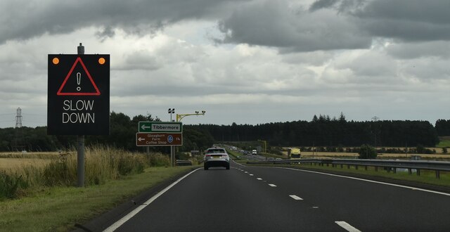
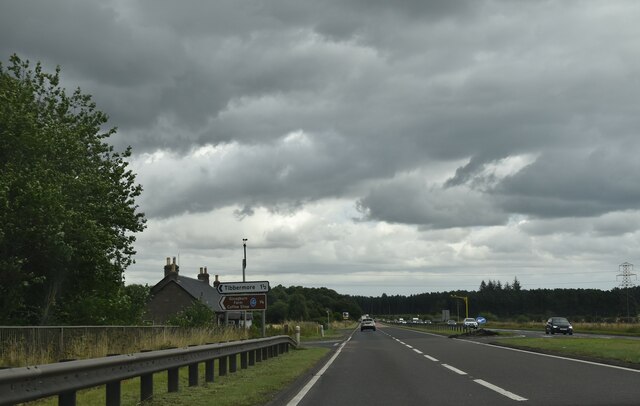
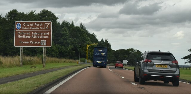
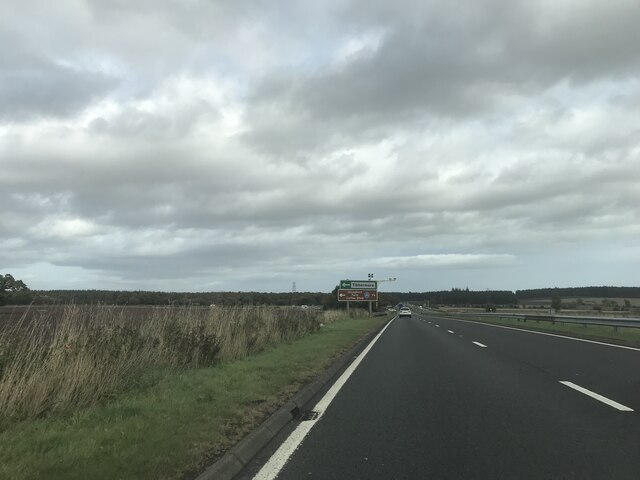
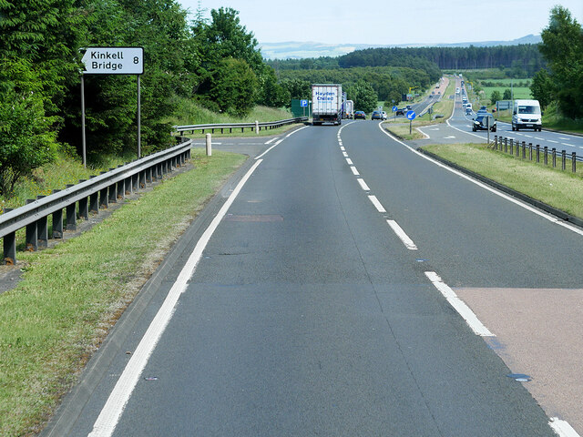
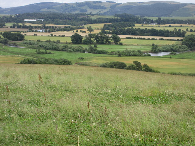
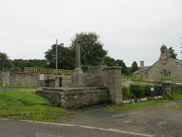
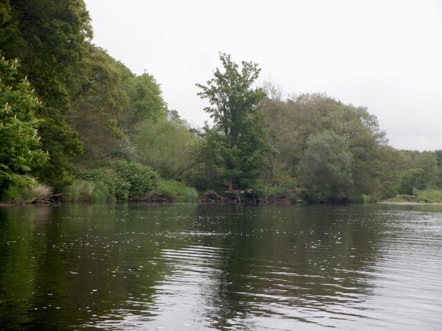
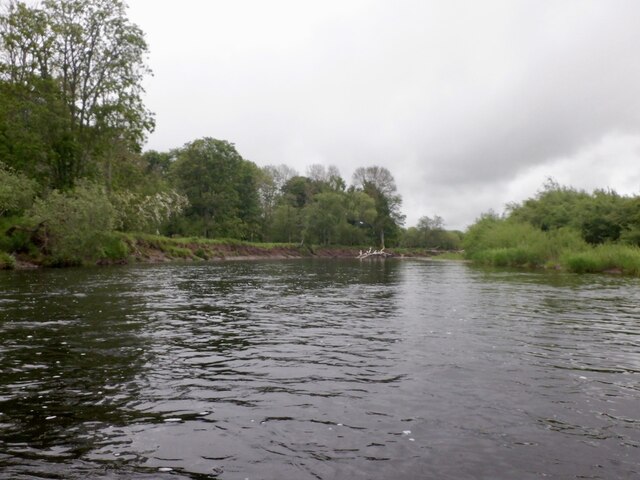
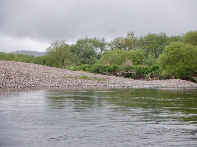
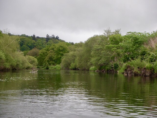
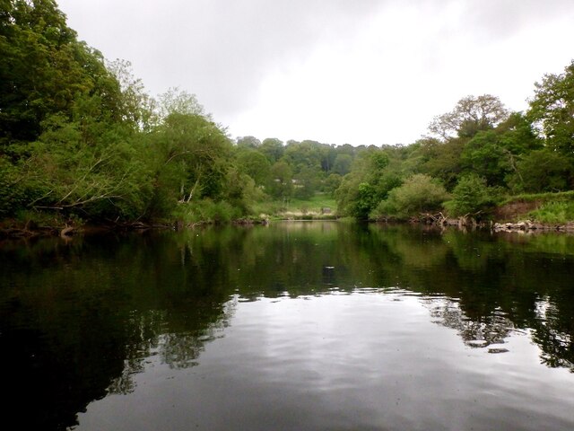
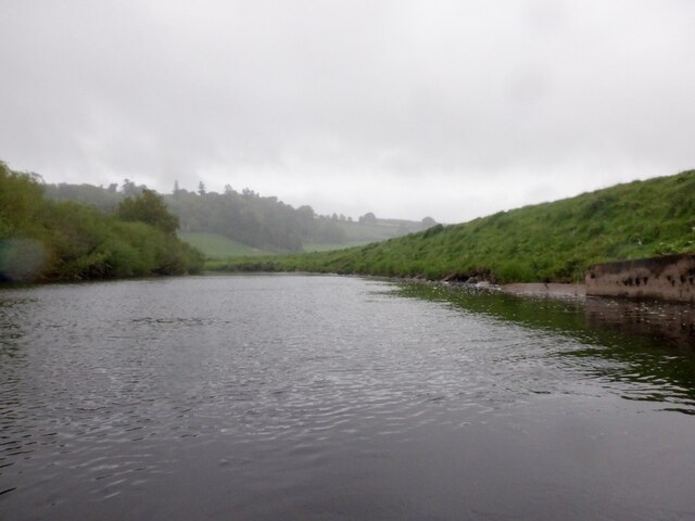
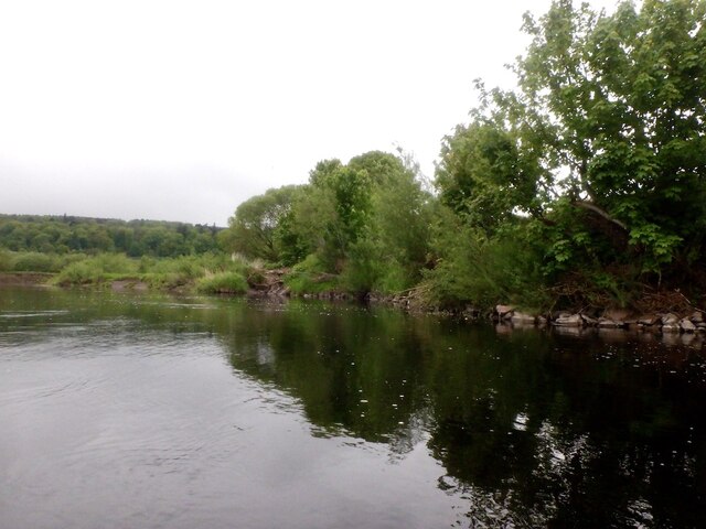
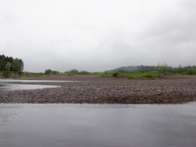
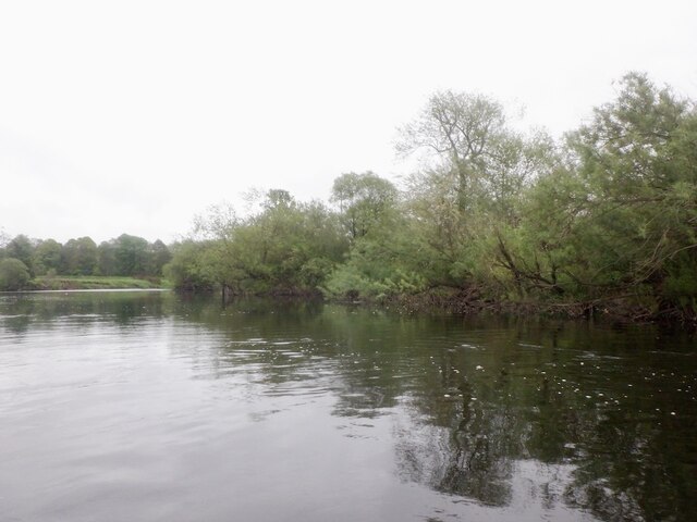
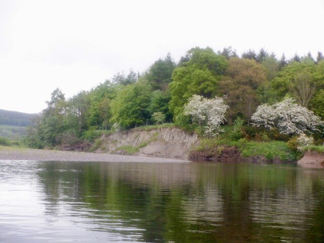
East Munday Muir Images

Images are sourced within 2km of 56.365597/-3.5127293 or Grid Reference NO0620. Thanks to Geograph Open Source API. All images are credited.

A9, northbound The A9 is a strategic link between the Highlands of Scotland and the Central Belt. It runs 279 miles from junction 5 of the M9 at Polmont to Scrabster. Originally it ran from Edinburgh.
<span class="nowrap"><a title="https://www.sabre-roads.org.uk/wiki/index.php?title=A9" rel="nofollow ugc noopener" href="https://www.sabre-roads.org.uk/wiki/index.php?title=A9">Link</a><img style="margin-left:2px;" alt="External link" title="External link - shift click to open in new window" src="https://s1.geograph.org.uk/img/external.png" width="10" height="10"/></span>
A9, northbound
The A9 is a strategic link between the Highlands of Scotland and the Central Belt. It runs 279 miles from junction 5 of the M9 at Polmont to Scrabster. Originally it ran from Edinburgh. LinkExternal link
A9, Tibbermore turning The A9 is a strategic link between the Highlands of Scotland and the Central Belt. It runs 279 miles from junction 5 of the M9 at Polmont to Scrabster. Originally it ran from Edinburgh.
<span class="nowrap"><a title="https://www.sabre-roads.org.uk/wiki/index.php?title=A9" rel="nofollow ugc noopener" href="https://www.sabre-roads.org.uk/wiki/index.php?title=A9">Link</a><img style="margin-left:2px;" alt="External link" title="External link - shift click to open in new window" src="https://s1.geograph.org.uk/img/external.png" width="10" height="10"/></span>
A9, Tibbermore turning
The A9 is a strategic link between the Highlands of Scotland and the Central Belt. It runs 279 miles from junction 5 of the M9 at Polmont to Scrabster. Originally it ran from Edinburgh. LinkExternal link
City of Perth, A9 The A9 is a strategic link between the Highlands of Scotland and the Central Belt. It runs 279 miles from junction 5 of the M9 at Polmont to Scrabster. Originally it ran from Edinburgh.
<span class="nowrap"><a title="https://www.sabre-roads.org.uk/wiki/index.php?title=A9" rel="nofollow ugc noopener" href="https://www.sabre-roads.org.uk/wiki/index.php?title=A9">Link</a><img style="margin-left:2px;" alt="External link" title="External link - shift click to open in new window" src="https://s1.geograph.org.uk/img/external.png" width="10" height="10"/></span>
City of Perth, A9
The A9 is a strategic link between the Highlands of Scotland and the Central Belt. It runs 279 miles from junction 5 of the M9 at Polmont to Scrabster. Originally it ran from Edinburgh. LinkExternal link
Signage - A9 northbound
A9 Northbound The A9 is a strategic link between the Highlands of Scotland and the Central Belt. Running for 273 miles, it is the longest road in Scotland and the fifth-longest A-road in the United Kingdom. Historically it was the main road between Edinburgh and John o' Groats but its importance has been eclipsed somewhat in the south by the A90 across the Forth Road Bridge and the M90 motorway, which now links Edinburgh more directly with Perth, and the M9, which is now the main road between Edinburgh and Bridge of Allan.
A9 Northbound
The A9 is a strategic link between the Highlands of Scotland and the Central Belt. Running for 273 miles, it is the longest road in Scotland and the fifth-longest A-road in the United Kingdom. Historically it was the main road between Edinburgh and John o' Groats but its importance has been eclipsed somewhat in the south by the A90 across the Forth Road Bridge and the M90 motorway, which now links Edinburgh more directly with Perth, and the M9, which is now the main road between Edinburgh and Bridge of Allan.
Grassland above Strathearn Rough grass meadow above the River Earn, west of Aberdalgie.
Grassland above Strathearn
Rough grass meadow above the River Earn, west of Aberdalgie.
Aberdalgie War Memorial The war memorial at Aberdalgie, with the church to the right.
Aberdalgie War Memorial
The war memorial at Aberdalgie, with the church to the right.
River Earn, Dupplin
River Earn, Dupplin
River Earn, Dupplin At the start of a section of braiding with several large trees in the water.  Easily avoidable on this occasion although I did take a shallow backwater to avoid one in the main stream.
River Earn, Dupplin
At the start of a section of braiding with several large trees in the water. Easily avoidable on this occasion although I did take a shallow backwater to avoid one in the main stream.
River Earn, Newmillhaugh Plantation The river is very active here with braiding and a changing course. It appears that the meander is deepening southwards leaving a big shingle bank on the Dupplin (river left) bank.
River Earn, Newmillhaugh Plantation
The river is very active here with braiding and a changing course. It appears that the meander is deepening southwards leaving a big shingle bank on the Dupplin (river left) bank.
River Earn, Dupplin
River Earn, Dupplin
River Earn, Dupplin A big meander.
River Earn, Dupplin
A big meander.
River Earn downstream of Dupplin The downstream side of a big meander.
River Earn downstream of Dupplin
The downstream side of a big meander.
River Earn, Broombarns A meander moving southwards by eroding the outside of the bend which is made of clay. I had photographed the crumbling cliffs but there was too many rain spots to make them publishable. Here the river is exiting the active area.
River Earn, Broombarns
A meander moving southwards by eroding the outside of the bend which is made of clay. I had photographed the crumbling cliffs but there was too many rain spots to make them publishable. Here the river is exiting the active area.
Shingle bank, River Earn The inside of an active meander where clay deposits are being eroded by the river. The Earn shows a lot of mature river features like ox bow lakes etc. These are better appreciated from a drone than a raft.
Shingle bank, River Earn
The inside of an active meander where clay deposits are being eroded by the river. The Earn shows a lot of mature river features like ox bow lakes etc. These are better appreciated from a drone than a raft.
River Earn near Broombarns and Sauchie
Eroding bank, River Earn The outside of a bend with a woodland slowly being consumed by the lengthening meander.
Eroding bank, River Earn
The outside of a bend with a woodland slowly being consumed by the lengthening meander.
Show me another place!

East Munday Muir is located at Grid Ref: NO0620 (Lat: 56.365597, Lng: -3.5127293)

Unitary Authority: Perth and Kinross

Police Authority: Tayside

What 3 Words

///turned.pans.escapades. Near Almondbank, Perth & Kinross

Related Wikis

Aberdalgie

Aberdalgie (Gaelic: Obar Dheilgidh, 'Confluence of the Thorn-Stream') is a small village in the Scottish council area of Perth and Kinross. It is 3 miles...
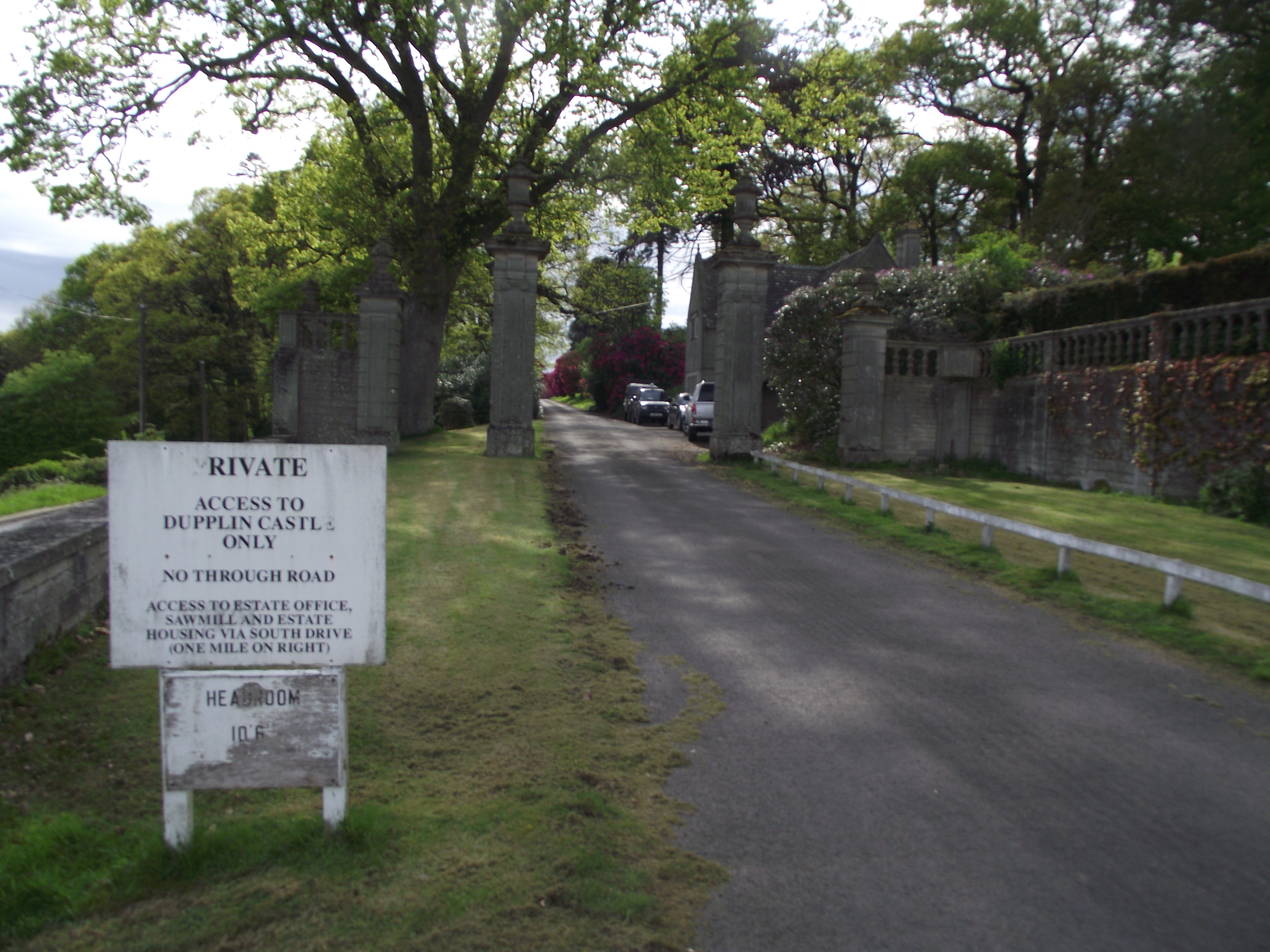
Dupplin Castle

Dupplin Castle is a country house and former castle in Perth and Kinross, Scotland, situated to the west of Aberdalgie and northeast of Forteviot and Dunning...

Forgandenny railway station

Forgandenny railway station served the village of Forgandenny, Perth and Kinross, Scotland from 1848 to 1956 on the Scottish Central Railway. == History... ==
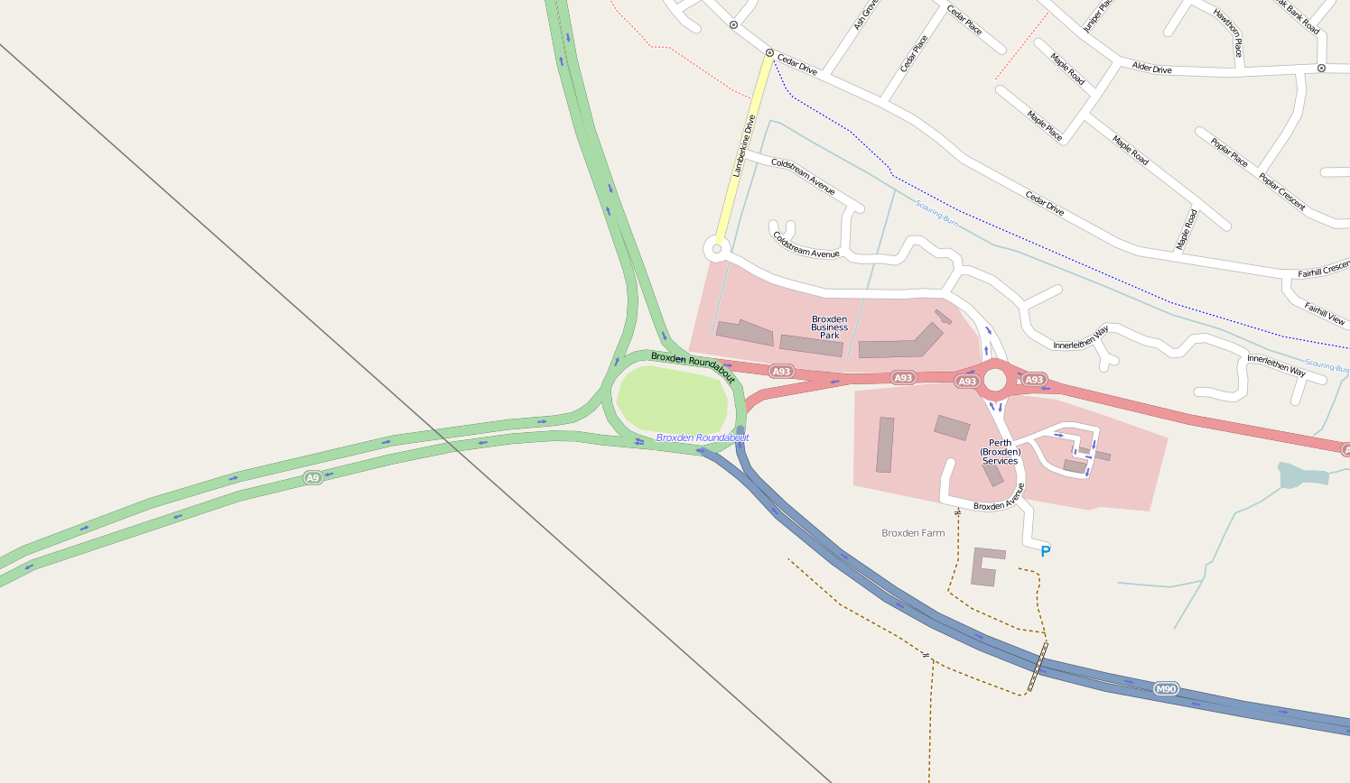
Broxden Junction

Broxden Junction (also known as Broxden Roundabout or Broxden Interchange) is one of the busier and more important road junctions in Scotland. It is located...

Have you been to East Munday Muir?

Leave your review of East Munday Muir below (or comments, questions and feedback).