Muckersie Plantation

Wood, Forest in Perthshire

Scotland

Muckersie Plantation

Roeglen Wood The hill top has been cleared of trees since the 19th century with only an 1850s map showing a wood here. In 2021 it was replanted, mostly with Sitka spruce.  Planters were on site at the time.
Roeglen Wood Credit: Richard Webb

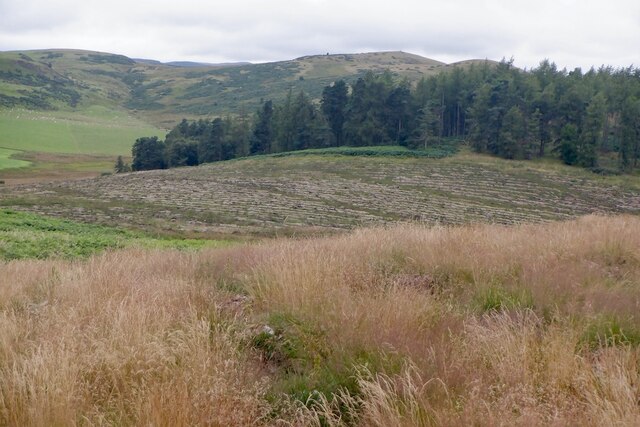
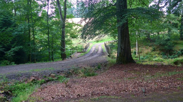
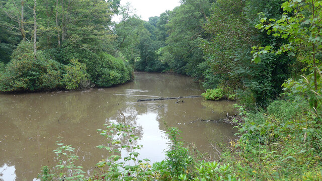
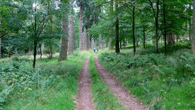
Muckersie Plantation is a picturesque woodland located in the beautiful region of Perthshire, Scotland. Situated near the village of Dunning, this plantation covers an area of approximately 200 hectares and is home to a variety of trees and wildlife.

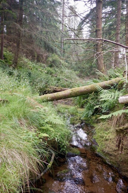
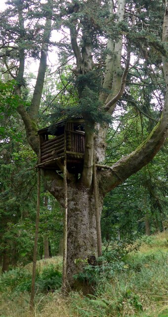
The woodland primarily consists of coniferous trees, including Scots pine, Sitka spruce, and Douglas fir. These trees form dense canopies, providing a haven for numerous bird species such as crossbills and goldcrests. The plantation also features some broadleaf trees such as birch and oak, adding diversity to the landscape.

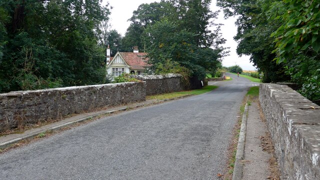
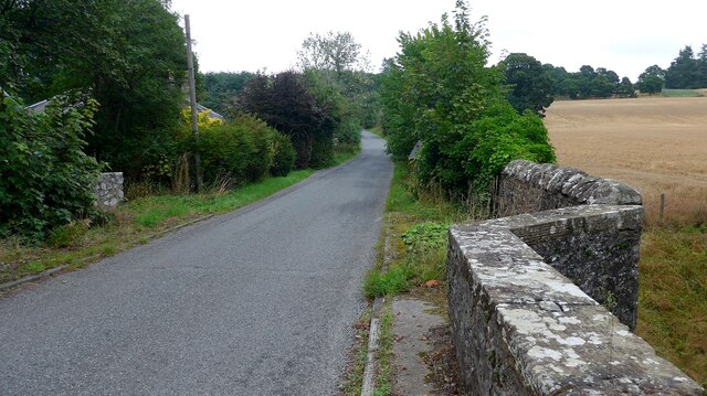
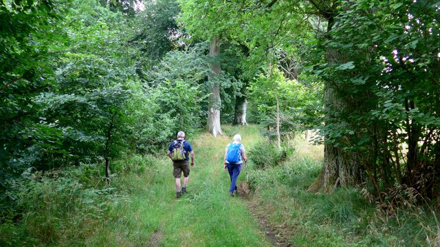
Visitors to Muckersie Plantation can enjoy a network of well-maintained trails and paths that wind through the woodlands. These trails offer stunning views of the surrounding countryside, including the rolling hills and distant mountains. The paths are suitable for walkers of all abilities, making it an ideal destination for a leisurely stroll or a more challenging hike.

The plantation is managed sustainably, with ongoing efforts to preserve and enhance the natural habitat. This includes regular thinning of trees to improve the overall health of the woodland and create space for new growth. Additionally, conservation projects are in place to protect the local flora and fauna, ensuring the long-term sustainability of the ecosystem.

Muckersie Plantation provides a tranquil escape from bustling city life, offering visitors a chance to immerse themselves in the beauty of nature. Whether it is exploring the woodland's diverse flora and fauna, enjoying a picnic amidst the trees, or simply taking in the breathtaking scenery, this plantation is a must-visit destination for nature enthusiasts and outdoor lovers alike.

If you have any feedback on the listing, please let us know in the comments section below.

Muckersie Plantation Images

Images are sourced within 2km of 56.324021/-3.5112944 or Grid Reference NO0615. Thanks to Geograph Open Source API. All images are credited.

Roeglen Wood The hill top has been cleared of trees since the 19th century with only an 1850s map showing a wood here. In 2021 it was replanted, mostly with Sitka spruce.  Planters were on site at the time.
Roeglen Wood
The hill top has been cleared of trees since the 19th century with only an 1850s map showing a wood here. In 2021 it was replanted, mostly with Sitka spruce. Planters were on site at the time.
South summit, Roeglen Wood One of the high points in Roeglen Wood which is being replanted after well over a century of being open land.
South summit, Roeglen Wood
One of the high points in Roeglen Wood which is being replanted after well over a century of being open land.
Replanting Roeglen Wood A large area of woodland, felled in the latter half of the 19th century is being replanted. View from the northernmost of two summits.
Replanting Roeglen Wood
A large area of woodland, felled in the latter half of the 19th century is being replanted. View from the northernmost of two summits.
North summit, Roeglen Wood One of the high points in Roeglen Wood which is being replanted after well over a century of being open land.
North summit, Roeglen Wood
One of the high points in Roeglen Wood which is being replanted after well over a century of being open land.
Roeglen Wood A drainage ditch in the newly replanted woodland. The land here is shown as open in all editions of Ordnance Survey maps other than the first 6 inch in the 1850s. It is now being replanted.
Roeglen Wood
A drainage ditch in the newly replanted woodland. The land here is shown as open in all editions of Ordnance Survey maps other than the first 6 inch in the 1850s. It is now being replanted.
Quadbike tracks, Roeglen Wood The tree planters stopped what they were doing and went for a razz around this part of the newly replanted wood. Were they looking for me? I have learned to keep out of folk's way while in Perthshire which has how shall we say it  - a certain reputation.
Quadbike tracks, Roeglen Wood
The tree planters stopped what they were doing and went for a razz around this part of the newly replanted wood. Were they looking for me? I have learned to keep out of folk's way while in Perthshire which has how shall we say it - a certain reputation.
Turnip field above Invermay
Road into Roeglen Wood Now longer than shown on the maps due to new tree planting.
Road into Roeglen Wood
Now longer than shown on the maps due to new tree planting.
Broomhill Burn or one of its feeders Bottom of some steep ground, choked with fallen trees.
Broomhill Burn or one of its feeders
Bottom of some steep ground, choked with fallen trees.
A minor road crosses the Water of May at North Lodge
Bridge over the Water of May at Green of Invermay
Estate bridge over the Water of May The OS mapping is a little confused here:  this is the downstream (westward) of the two bridges and is the one in use.  The upstream (eastward) bridge is unsafe and fenced off.  All the OS mappings imply the opposite.
Estate bridge over the Water of May
The OS mapping is a little confused here: this is the downstream (westward) of the two bridges and is the one in use. The upstream (eastward) bridge is unsafe and fenced off. All the OS mappings imply the opposite.
Unidentified machine by the Water of May What can this be for?  There is a power take-off drive to the left.  A machine for burying underground pipes?

Later addition - this is a log-splitter!  Thanks to information from the ever-helpful members of Geograph.
Unidentified machine by the Water of May
What can this be for? There is a power take-off drive to the left. A machine for burying underground pipes? Later addition - this is a log-splitter! Thanks to information from the ever-helpful members of Geograph.
Lower Pond on the Invermay Estate
The magnificent mansion at Hill of Invermay
Forest track on the Invermay estate
Impressive treehouse on the Invermay estate There is no obvious means of ascent to this treehouse.  It's not clear whether this is intended for children or for a shooting platform.
Impressive treehouse on the Invermay estate
There is no obvious means of ascent to this treehouse. It's not clear whether this is intended for children or for a shooting platform.
Walkers in the Birks of Invermay
Show me another place!

Muckersie Plantation is located at Grid Ref: NO0615 (Lat: 56.324021, Lng: -3.5112944)

Unitary Authority: Perth and Kinross

Police Authority: Tayside

What 3 Words

///listen.geese.writers. Near Bridge of Earn, Perth & Kinross

Related Wikis

Invermay

Invermay ( ) is a diffuse settlement in Perth and Kinross, Scotland. It is situated approximately 2 km southeast of Forteviot on the Water of May, some...

Forteviot Bronze Age tomb

Forteviot Bronze Age tomb is a Bronze Age burial chamber discovered in 2009 at Forteviot near Perth, Scotland. The Bronze Age tomb is one of a number of...

Forteviot

Forteviot (Scottish Gaelic: Fothair Tabhaicht) (Ordnance Survey grid reference NO052175) is a village in Strathearn, Scotland on the south bank of the...

Forteviot railway station

Forteviot railway station served the village of Forteviot, Perth and Kinross, Scotland from 1848 to 1956 on the Scottish Central Railway. == History... ==

Forgandenny

Forgandenny (Scottish Gaelic Forgrann Eithne, 'Over-Bog of Eithne' [an ancient female Gaelic name]) is a small village in Perth and Kinross, Scotland,...

Strathallan School

Strathallan School is a private boarding and day school in Scotland for boys and girls aged 5-18. The school has a 153-acre (62-hectare) campus at Forgandenny...
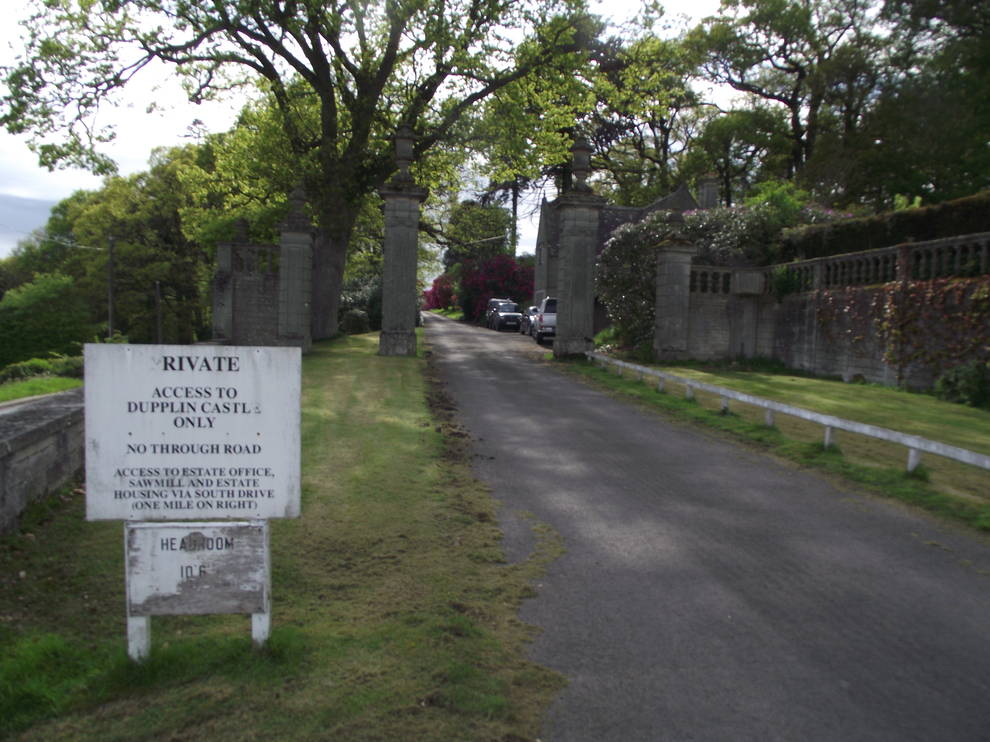
Dupplin Castle

Dupplin Castle is a country house and former castle in Perth and Kinross, Scotland, situated to the west of Aberdalgie and northeast of Forteviot and Dunning...

Forgandenny railway station

Forgandenny railway station served the village of Forgandenny, Perth and Kinross, Scotland from 1848 to 1956 on the Scottish Central Railway. == History... ==

Nearby Amenities

Located within 500m of 56.324021,-3.5112944
Power: pole
Lat/Long: 56.3211689/-3.5167528
Power: pole
Lat/Long: 56.3211831/-3.5155353
Power: pole
Lat/Long: 56.321187/-3.5143155
Power: pole
Lat/Long: 56.321187/-3.5130887
Power: pole
Lat/Long: 56.3215394/-3.5118619
Power: pole
Lat/Long: 56.321866/-3.5107096
Power: pole
Lat/Long: 56.3222055/-3.5095479
Power: pole
Lat/Long: 56.3224443/-3.5087146
Power: pole
Lat/Long: 56.3227438/-3.5076065
Power: pole
Lat/Long: 56.3230316/-3.5066171
Power: pole
Lat/Long: 56.3231543/-3.5056743
Power: pole
Lat/Long: 56.3233053/-3.5045802
Power: pole
Lat/Long: 56.3234279/-3.5037142
Power: pole
Lat/Long: 56.3234641/-3.5062772
The data included in this document is from www.openstreetmap.org. The data is made available under ODbL.

Have you been to Muckersie Plantation?

Leave your review of Muckersie Plantation below (or comments, questions and feedback).