Raichins Wood
Wood, Forest in Perthshire
Scotland
Raichins Wood

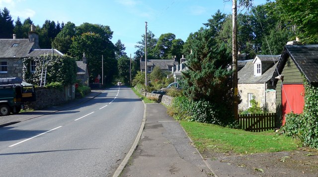
Raichins Wood, located in Perthshire, Scotland, is a picturesque forest known for its natural beauty and tranquil atmosphere. Covering an area of approximately 300 acres, this woodland is a haven for nature enthusiasts and outdoor lovers.
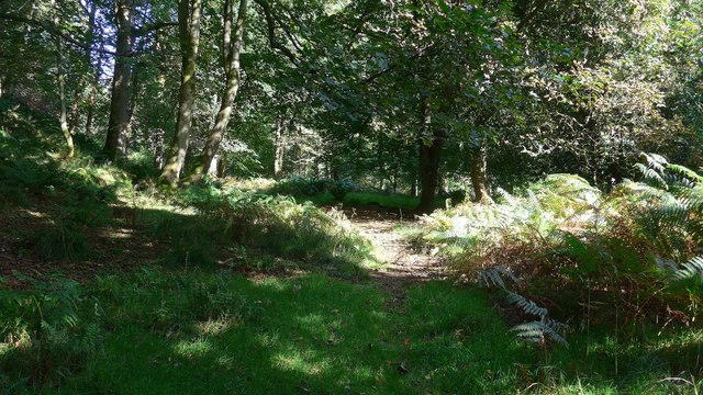
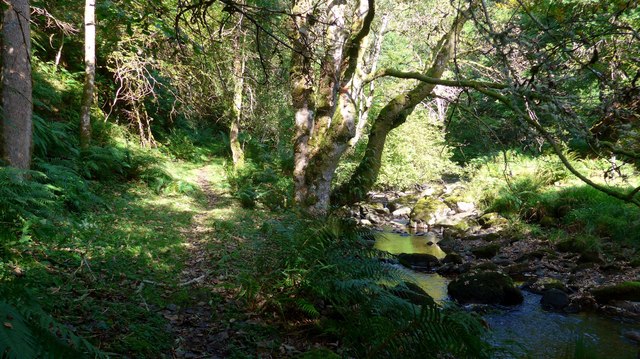
The wood is predominantly composed of a mixture of deciduous and coniferous trees, including oak, birch, and pine, creating a diverse and vibrant ecosystem. The lush undergrowth is home to a wide variety of flora and fauna, with bluebells and wild garlic carpeting the forest floor during springtime.
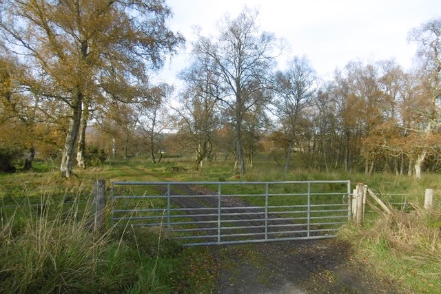
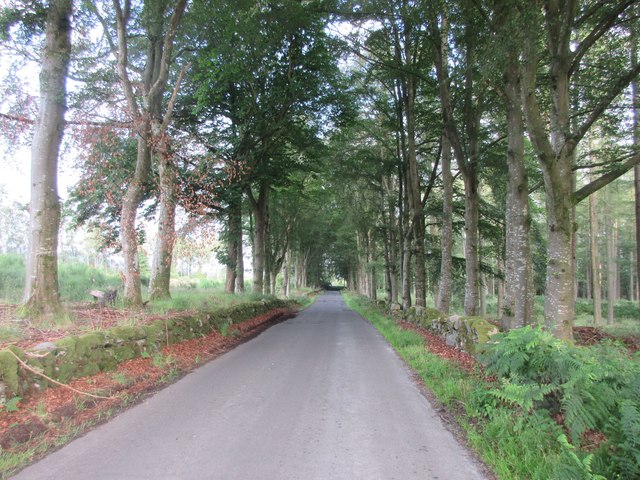
Raichins Wood offers a network of well-maintained walking trails that meander through the forest, allowing visitors to explore its hidden treasures. The paths range in difficulty, catering to both casual strollers and more adventurous hikers. Along the way, visitors may encounter streams, small waterfalls, and charming bridges that add to the enchanting ambiance.
The wood is also a popular spot for birdwatching, as it attracts a range of species such as woodpeckers, jays, and various songbirds. Nature photographers will find ample opportunities to capture stunning shots of the woodland scenery and its inhabitants.
For those seeking solitude and tranquility, Raichins Wood provides several secluded picnic spots where visitors can relax and immerse themselves in the peaceful surroundings. The forest is also pet-friendly, allowing visitors to bring their furry companions along for a leisurely stroll.
Overall, Raichins Wood is a hidden gem in Perthshire, offering a serene escape from the hustle and bustle of daily life, with its diverse flora and fauna, picturesque trails, and peaceful ambiance.
If you have any feedback on the listing, please let us know in the comments section below.
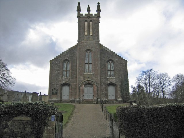
Raichins Wood Images
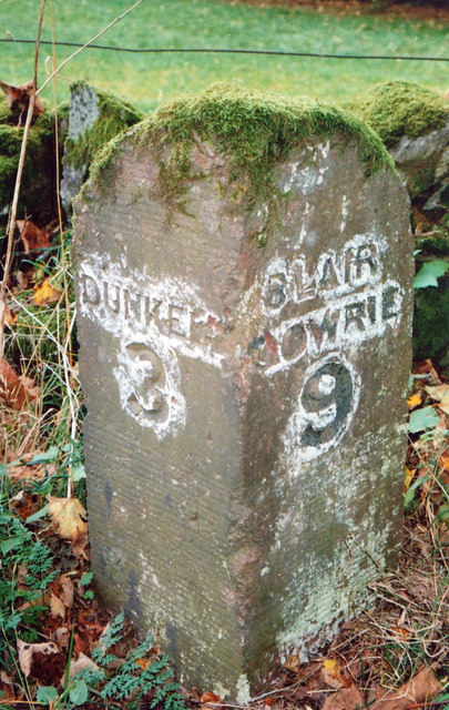
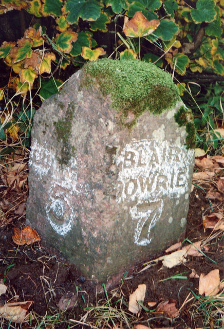
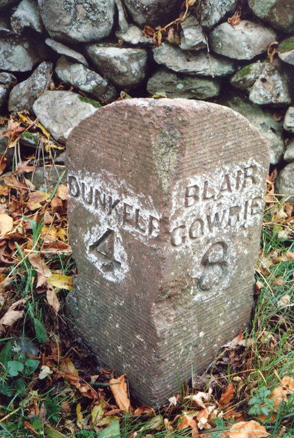
Images are sourced within 2km of 56.592975/-3.524573 or Grid Reference NO0645. Thanks to Geograph Open Source API. All images are credited.
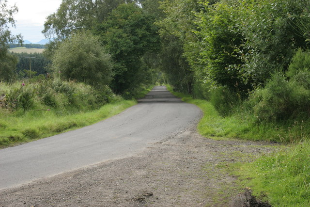
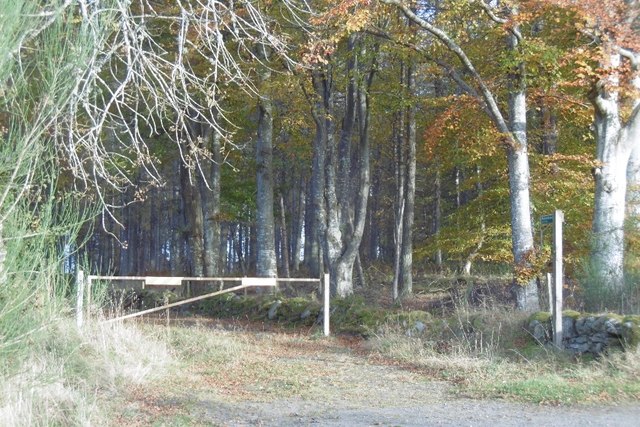
![Entrance to forestry beside Catchpenny The gate leads into a small area of forestry across the road from Catchpenny. Taken at a different time of year from an earlier view [<a title="https://www.geograph.org.uk/photo/78500" href="https://www.geograph.org.uk/photo/78500">Link</a>], with trees in full leaf.](https://s3.geograph.org.uk/geophotos/04/61/40/4614083_aa995812.jpg)

Raichins Wood is located at Grid Ref: NO0645 (Lat: 56.592975, Lng: -3.524573)
Unitary Authority: Perth and Kinross
Police Authority: Tayside
What 3 Words
///bandaged.replace.cans. Near Bankfoot, Perth & Kinross
Nearby Locations
Related Wikis

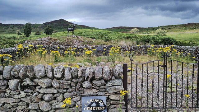
Loch of Butterstone
Loch of Butterstone is a small freshwater loch, almost circular in shape, located within the nature reserve of the Cardney Estate, near Dunkeld in Perth...

Loch of the Lowes
Loch of the Lowes is a loch near Dunkeld in Perth and Kinross, Scotland. The loch and the surrounding area are designated as a wildlife reserve, run by...
Loch of Craiglush
Loch of Craiglush is a freshwater loch, located around 1+1⁄2 miles (2.4 km) north-east of Dunkeld in Perth and Kinross, Scotland. The loch is a designated...

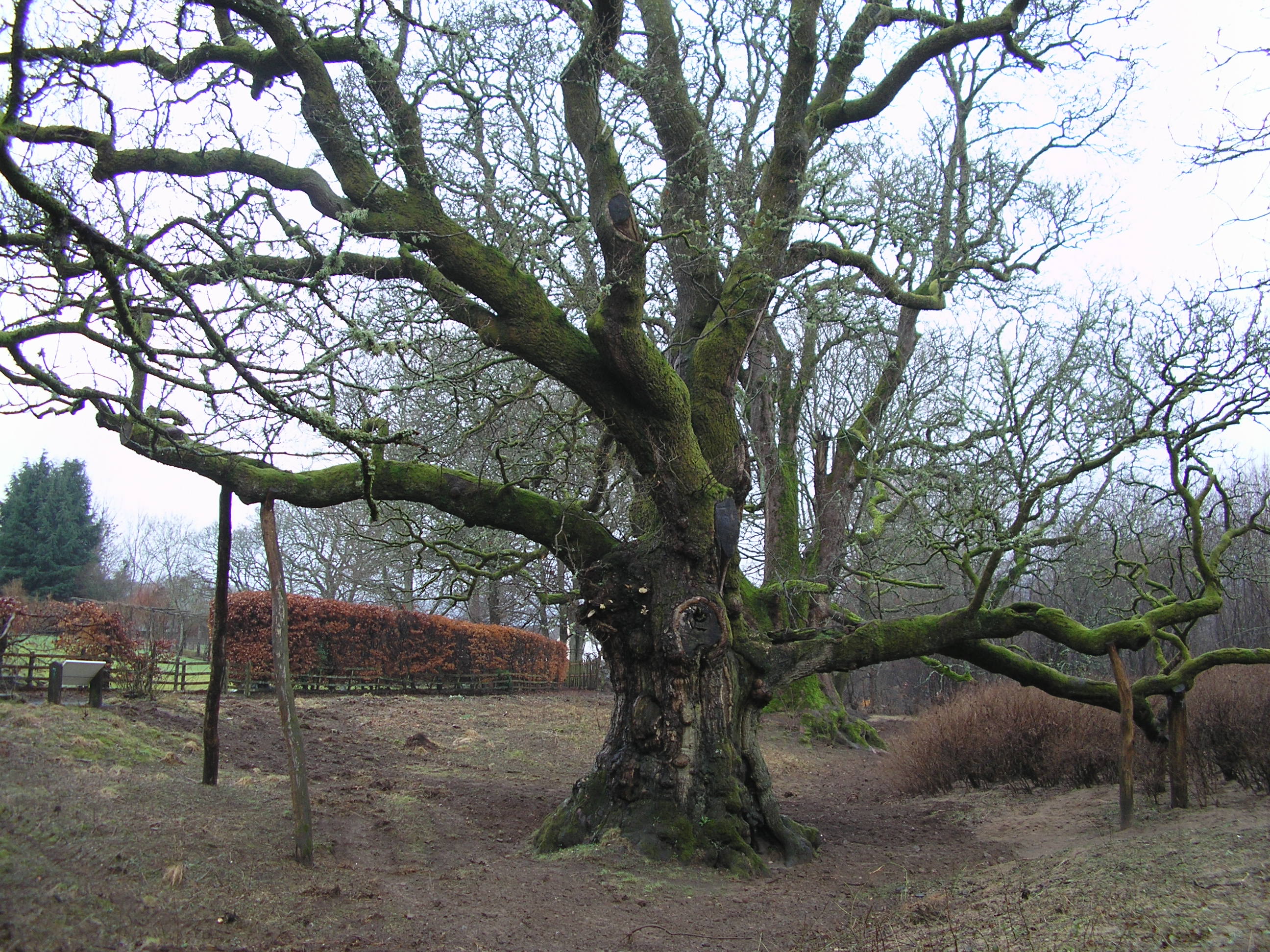
Lady's Tree
Lady's Tree is a Scots pine on the banks of the Loch of the Lowes, Scotland. It was the roost of famous osprey 'Lady' for 24 years. In 2014, Lady's Tree...

Loch Benachally
Loch Benachally is a large shallow freshwater reservoir that is located close to the Forest of Clunie in Perth and Kinross, Scotland.The reservoir is operated...

Taybank Hotel
The Taybank Hotel is a hotel and restaurant in Dunkeld, Perth and Kinross, Scotland. It is a Category C listed building dating to the early 19th century...
Clunie
Clunie is a small settlement in Perthshire, Scotland, four miles (six kilometres) west of Blairgowrie. It lies on the western shore of the Loch of Clunie...
Birnam Oak
The Birnam Oak is an example of Sessile oak (Quercus petraea) at Birnam, Perth and Kinross, Scotland (grid reference NO032421). Sometimes known as Macbeth...
Nearby Amenities
Located within 500m of 56.592975,-3.524573Have you been to Raichins Wood?
Leave your review of Raichins Wood below (or comments, questions and feedback).