Butterstone

Settlement in Perthshire

Scotland

Butterstone

Historic Milestone South side of road.
Inscription: 
Dunkeld 4
Blairgowrie 8
Historic Milestone Credit: Karl Peet

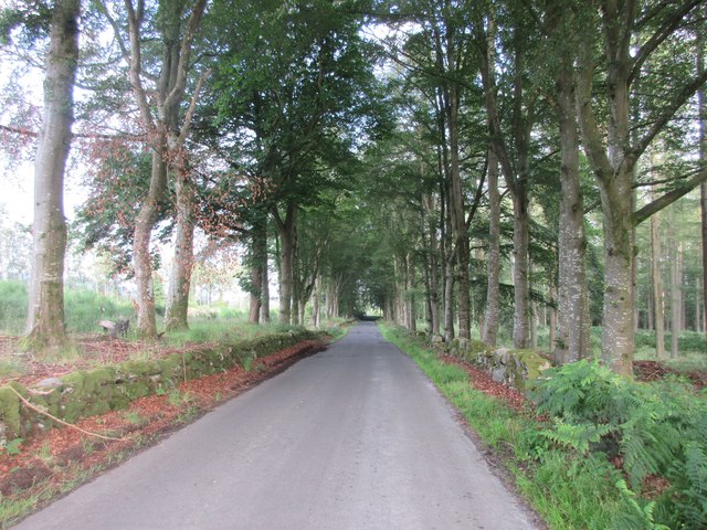
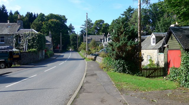
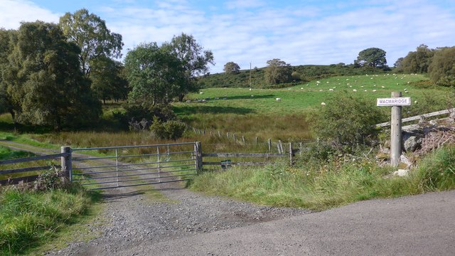
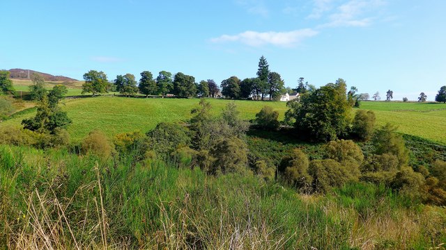
Butterstone is a charming village located in the heart of Perthshire, Scotland. Nestled amidst picturesque landscapes, this idyllic place boasts breathtaking natural beauty and a tranquil atmosphere. Situated just a few miles north of Dunkeld, Butterstone is easily accessible and offers a peaceful retreat away from the hustle and bustle of city life.

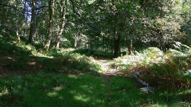
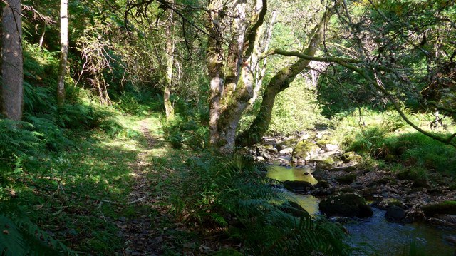
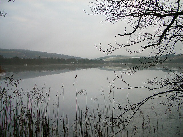
The village is renowned for its stunning scenery, with rolling hills, lush forests, and the serene Butterstone Loch that adds to its charm. The loch is a popular spot for fishing enthusiasts, offering abundant opportunities to catch trout and salmon. Nature lovers will be delighted by the abundance of wildlife, including red squirrels, ospreys, and a variety of bird species.

Butterstone is also home to the Butterstone Golf Course, a hidden gem that attracts golfers from near and far. This 18-hole course offers a challenging yet enjoyable experience, set against a backdrop of stunning panoramic views.

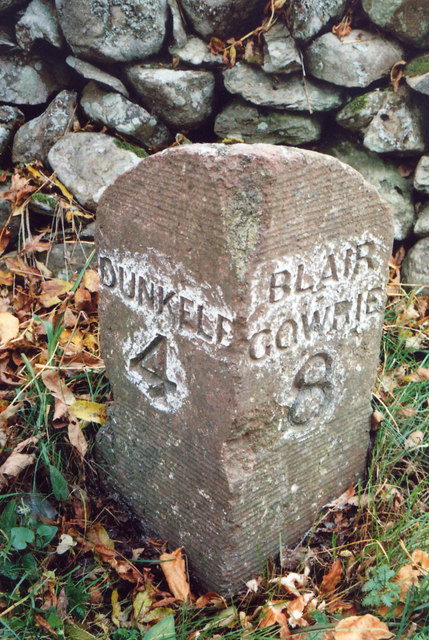
For those interested in history and culture, the village is within easy reach of historic sites such as Dunkeld Cathedral and Blair Castle. Visitors can immerse themselves in the rich heritage of the area and explore the nearby towns and villages that offer a range of shops, cafes, and restaurants.

With its peaceful ambiance and natural beauty, Butterstone is the perfect destination for those seeking relaxation, outdoor activities, or a taste of Scottish countryside life. Whether it's fishing, golfing, or simply taking in the breathtaking views, this charming village has something to offer everyone.

If you have any feedback on the listing, please let us know in the comments section below.
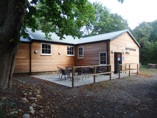
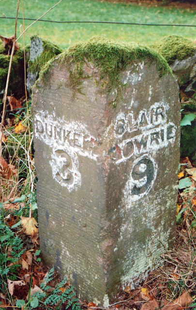
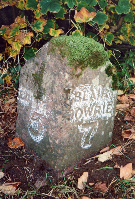
Butterstone Images

Images are sourced within 2km of 56.595137/-3.527103 or Grid Reference NO0645. Thanks to Geograph Open Source API. All images are credited.
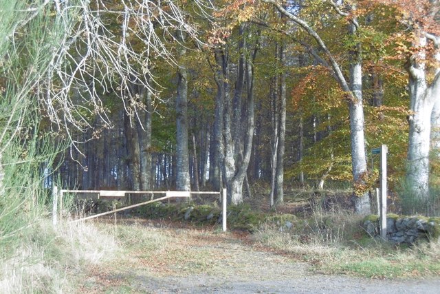
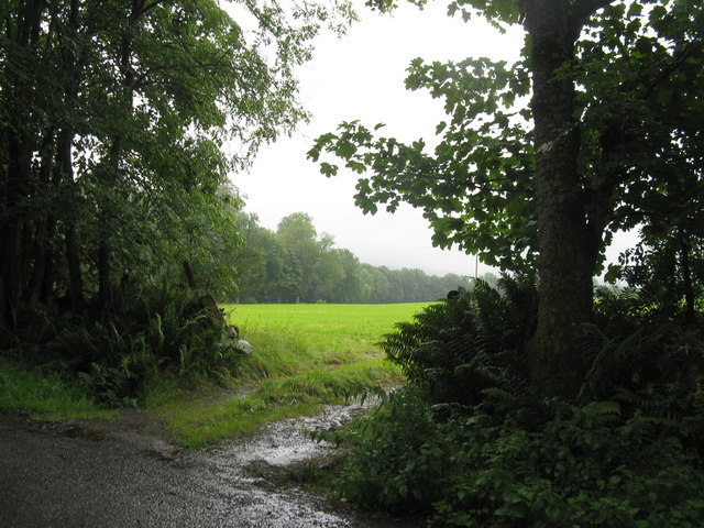
Historic Milestone South side of road.
Inscription: 
Dunkeld 4
Blairgowrie 8
Historic Milestone
South side of road. Inscription: Dunkeld 4 Blairgowrie 8
Cardney Cemetery Small cemetery in a rural setting.
Cardney Cemetery
Small cemetery in a rural setting.
Entrance to forestry beside Catchpenny The gate leads into a small area of forestry across the road from Catchpenny. Taken at a different time of year from an earlier view [<a title="https://www.geograph.org.uk/photo/78500" href="https://www.geograph.org.uk/photo/78500">Link</a>], with trees in full leaf.
Entrance to forestry beside Catchpenny
The gate leads into a small area of forestry across the road from Catchpenny. Taken at a different time of year from an earlier view [Link], with trees in full leaf.
Autumnal beeches, Catchpenny A forest track leaves the road here.
Autumnal beeches, Catchpenny
A forest track leaves the road here.
Road junction, Catchpenny Signposted path to Butterstone.
Road junction, Catchpenny
Signposted path to Butterstone.
Birchwood, Catchpenny The road access a building according to maps.
Birchwood, Catchpenny
The road access a building according to maps.
Silage field A wet entrance on the track from Letter to Lowes.
Silage field
A wet entrance on the track from Letter to Lowes.
Butterstone Village Hall
Old Milestone by the A923, Loch of Lowes Stone post by the A923, in parish of Dunkeld and Dowally (Perth and Kinross District), North of Loch of Lowes, on verge by stone wall.

Inscription reads:-
: DUNKELD / 3 : : BLAIR / GOWRIE / 9 :

Surveyed

Milestone Society National ID: PK_BGDK09
Old Milestone by the A923, Loch of Lowes
Stone post by the A923, in parish of Dunkeld and Dowally (Perth and Kinross District), North of Loch of Lowes, on verge by stone wall. Inscription reads:- : DUNKELD / 3 : : BLAIR / GOWRIE / 9 : Surveyed Milestone Society National ID: PK_BGDK09
Old Milestone by the A923, Laighwood, Clunie parish Stone post by the A923, in parish of Clunie (Perth & Kinross District), Laighwood, on verge in front of hedge, South side of road.

Inscription reads:-
: DUNKELD / 5 : : BLAIR / GOWRIE / 7 :

Surveyed

Milestone Society National ID: PK_BGDK07
Old Milestone by the A923, Laighwood, Clunie parish
Stone post by the A923, in parish of Clunie (Perth & Kinross District), Laighwood, on verge in front of hedge, South side of road. Inscription reads:- : DUNKELD / 5 : : BLAIR / GOWRIE / 7 : Surveyed Milestone Society National ID: PK_BGDK07
Old Milestone by the A923, southwest of Butterstone, Dunkeld and Dowally parish Stone post by the A923, in parish of Dunkeld and Dowally (Perth & Kinross District), West of Butterstone, Butterglen, on verge.

Inscription reads:-
: DUNKELD / 4 : : BLAIR / GOWRIE / 8 :  

Surveyed

Milestone Society National ID: PK_BGDK08
Old Milestone by the A923, southwest of Butterstone, Dunkeld and Dowally parish
Stone post by the A923, in parish of Dunkeld and Dowally (Perth & Kinross District), West of Butterstone, Butterglen, on verge. Inscription reads:- : DUNKELD / 4 : : BLAIR / GOWRIE / 8 : Surveyed Milestone Society National ID: PK_BGDK08
Road near Catchpenny The C429 (Perth and Kinross) road heading westwards through woodland near Catchpenny.
Road near Catchpenny
The C429 (Perth and Kinross) road heading westwards through woodland near Catchpenny.
The A923 through Butterstone Butterstone - a hamlet of a few houses surrounded by large estates.
The A923 through Butterstone
Butterstone - a hamlet of a few houses surrounded by large estates.
Path through the woods by the Buckny Burn The path through the wood here is rather overgrown (and challenging in places!).  But it is pleasanter than walking the tarmac estate road.
Path through the woods by the Buckny Burn
The path through the wood here is rather overgrown (and challenging in places!). But it is pleasanter than walking the tarmac estate road.
The path by the Buckny Burn The path through the wood here is rather overgrown (and challenging in places!). But it is pleasanter than walking the tarmac estate road.
The path by the Buckny Burn
The path through the wood here is rather overgrown (and challenging in places!). But it is pleasanter than walking the tarmac estate road.
Footbridge over the Buckny Burn Not marked on the 25,000 or 50,000 mapping, nevertheless, this bridge is here and unites paths on each side of the burn.
Footbridge over the Buckny Burn
Not marked on the 25,000 or 50,000 mapping, nevertheless, this bridge is here and unites paths on each side of the burn.
Macmaridge roadend
Macmaridge roadend
Over the fields to Riechip The glen of the Buckny Burn in between.
Over the fields to Riechip
The glen of the Buckny Burn in between.
Show me another place!

Butterstone is located at Grid Ref: NO0645 (Lat: 56.595137, Lng: -3.527103)

Unitary Authority: Perth and Kinross

Police Authority: Tayside

What 3 Words

///forensic.titles.infuses. Near Bankfoot, Perth & Kinross

Nearby Locations

Raichins Wood Butterstone

Related Wikis

Loch of Butterstone

Loch of Butterstone is a small freshwater loch, almost circular in shape, located within the nature reserve of the Cardney Estate, near Dunkeld in Perth...

Loch of the Lowes

Loch of the Lowes is a loch near Dunkeld in Perth and Kinross, Scotland. The loch and the surrounding area are designated as a wildlife reserve, run by...

Loch of Craiglush

Loch of Craiglush is a freshwater loch, located around 1+1⁄2 miles (2.4 km) north-east of Dunkeld in Perth and Kinross, Scotland. The loch is a designated...

Lady's Tree

Lady's Tree is a Scots pine on the banks of the Loch of the Lowes, Scotland. It was the roost of famous osprey 'Lady' for 24 years. In 2014, Lady's Tree...

Loch Benachally

Loch Benachally is a large shallow freshwater reservoir that is located close to the Forest of Clunie in Perth and Kinross, Scotland.The reservoir is operated...

Taybank Hotel

The Taybank Hotel is a hotel and restaurant in Dunkeld, Perth and Kinross, Scotland. It is a Category C listed building dating to the early 19th century...
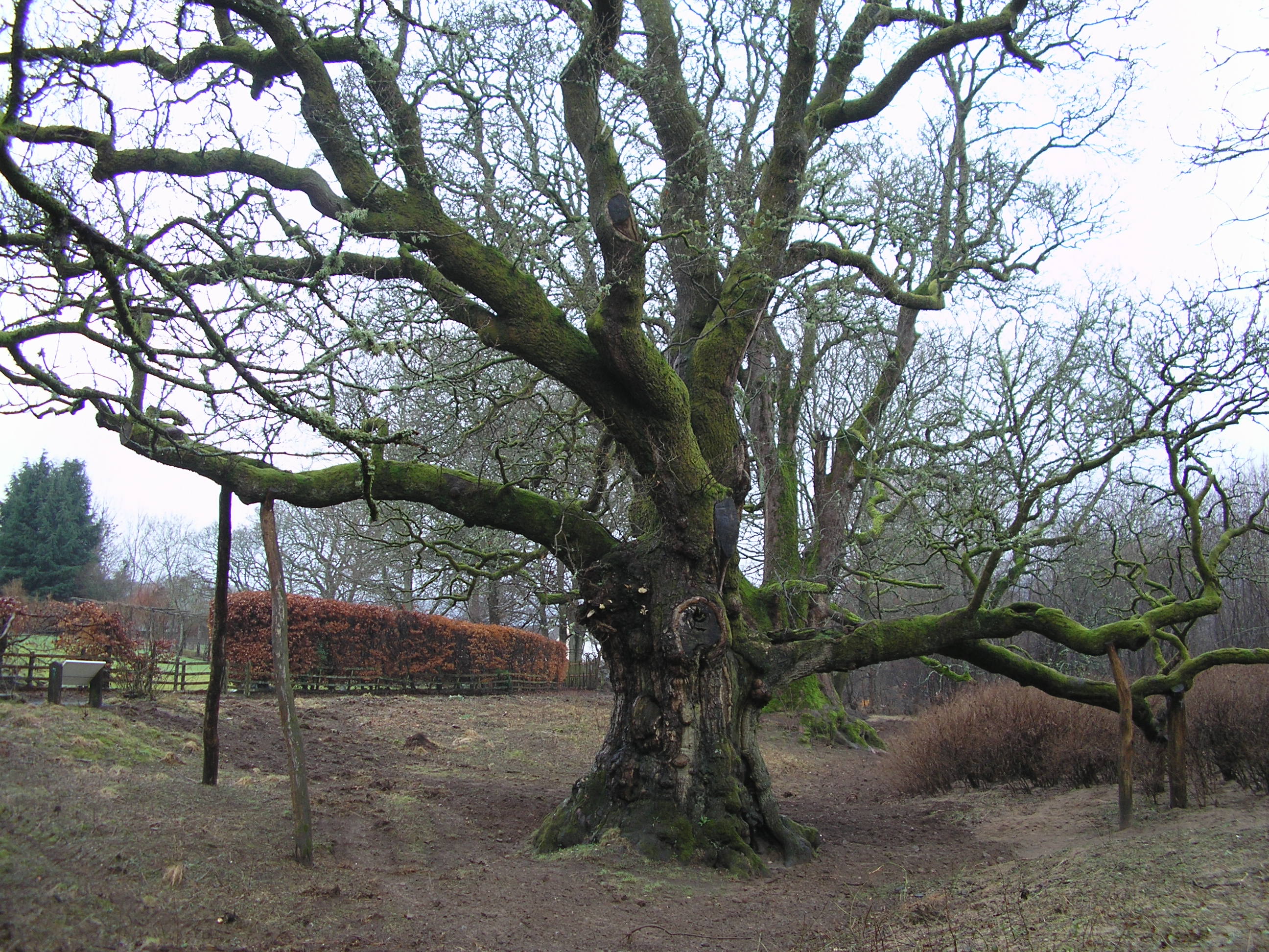
Birnam Oak

The Birnam Oak is an example of Sessile oak (Quercus petraea) at Birnam, Perth and Kinross, Scotland (grid reference NO032421). Sometimes known as Macbeth...

Atholl Arms Hotel, Dunkeld

The Atholl Arms Hotel is a hotel and restaurant in Dunkeld, Perth and Kinross, Scotland. Standing at the corner of Bridge Street and Boat Road, it is a...

Nearby Amenities

Located within 500m of 56.595137,-3.527103
Saw mill
1860name: Saw Mill
Pont: no
Stobie1783: no
Designation: Historic Mill
Historic: archaeological_site
Source: OS Six inch 1st series
Lat/Long: 56.5958107/-3.526744
Entrance: main
Lat/Long: 56.5973912/-3.5312662
Butterstone
Place: village
Lat/Long: 56.5947776/-3.5258243
Post Box
Collection Times: Mo-Fr 12:15; Sa 11:30
Manufacturer: Machan Scotland
Operator: Royal Mail
Operator Wikidata: Q638098
Post Box Mounting: pier
Post Box Type: lamp
Ref: PH8 149
Royal Cypher: scottish_crown
Source: survey;local knowledge
Lat/Long: 56.5947408/-3.5249594
Power: pole
Lat/Long: 56.597642/-3.5253446
Power: pole
Lat/Long: 56.5978/-3.5240572
Power: pole
Lat/Long: 56.597913/-3.5230192
Power: pole
Lat/Long: 56.5983456/-3.5222994
Entrance: yes
Lat/Long: 56.5956476/-3.52713
Description: Historic stone milestone/milepost.
Historic: milestone
Image: https://www.geograph.org.uk/photo/7131274
Inscription: Dunkeld 4 Blairgowrie 8
Source: survey
Lat/Long: 56.5929027/-3.5281213
Power: pole
Lat/Long: 56.5965381/-3.5317519
Power: pole
Lat/Long: 56.5962686/-3.5307116
Power: pole
Lat/Long: 56.596033/-3.529792
Power: pole
Lat/Long: 56.5958216/-3.52898
Power: pole
Lat/Long: 56.5956428/-3.5282689
Power: pole
Lat/Long: 56.5954216/-3.5273691
Power: pole
Lat/Long: 56.5953407/-3.526827
Power: pole
Lat/Long: 56.595824/-3.5269104
Power: pole
Lat/Long: 56.596375/-3.5270223
Power: pole
Lat/Long: 56.5967954/-3.5271013
Power: pole
Lat/Long: 56.597373/-3.5275249
Power: pole
Lat/Long: 56.5979372/-3.5279046
Power: pole
Lat/Long: 56.5984942/-3.5282952
Power: pole
Lat/Long: 56.5989521/-3.5290283
Power: pole
Lat/Long: 56.5975361/-3.5261554
Power: pole
Lat/Long: 56.5977113/-3.5224333
Power: pole
Lat/Long: 56.5974757/-3.5217397
Power: pole
Lat/Long: 56.5920595/-3.521946
Power: pole
Lat/Long: 56.5919725/-3.5232607
Power: pole
Lat/Long: 56.5918685/-3.5247574
Power: pole
Lat/Long: 56.5917501/-3.5262103
Power: pole
Lat/Long: 56.5916438/-3.5276851
Power: pole
Lat/Long: 56.5923591/-3.5262257
Power: pole
Lat/Long: 56.5929114/-3.5262388
Power: pole
Lat/Long: 56.5934805/-3.5262564
Power: pole
Lat/Long: 56.594214/-3.5263332
Power: pole
Lat/Long: 56.5907079/-3.5261949
Defibrillator
Booth: K6
Covered: booth
Defibrillator Location: In community red telephone box, Butterstone
Disused Amenity: telephone
Emergency: defibrillator
Indoor: no
Man Made: telephone_box
Ref GB The Circuit: F35F5C90-663E-4DFD-BF38-B06C00BDC9C2
Lat/Long: 56.5945432/-3.5253283
Barrier: cattle_grid
Lat/Long: 56.595922/-3.5226494
The data included in this document is from www.openstreetmap.org. The data is made available under ODbL.

Have you been to Butterstone?

Leave your review of Butterstone below (or comments, questions and feedback).