Slacks Wood

Wood, Forest in Dumfriesshire

Scotland

Slacks Wood

Mill Loch, Lochmaben One of the three Lochmaben lochs. The farm, centre, on the far side of the loch is right on the southern edge of this square.
Mill Loch, Lochmaben Credit: Lynne Kirton

The requested URL returned error: 429 Too Many Requests

If you have any feedback on the listing, please let us know in the comments section below.
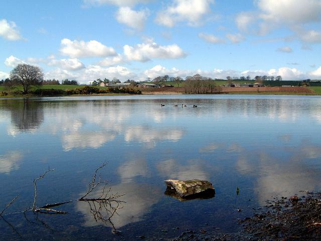
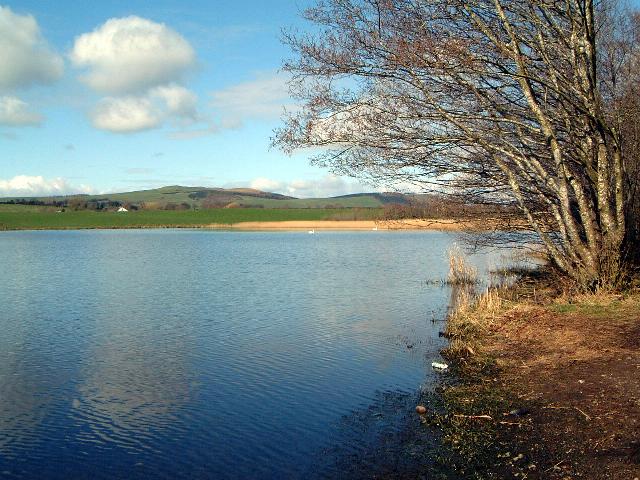
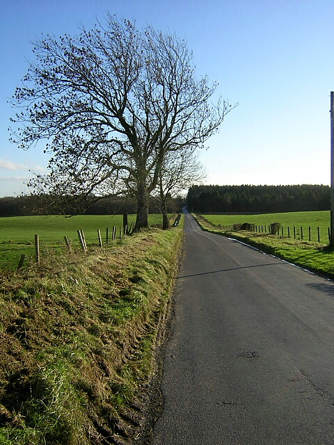
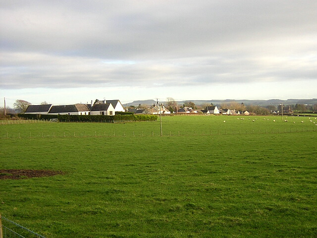
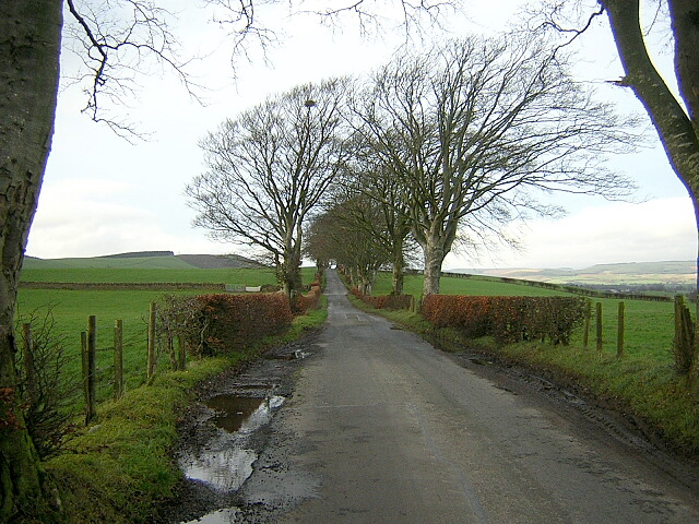
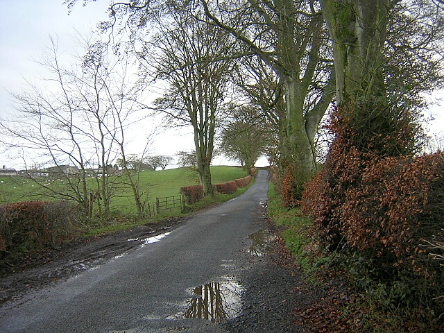
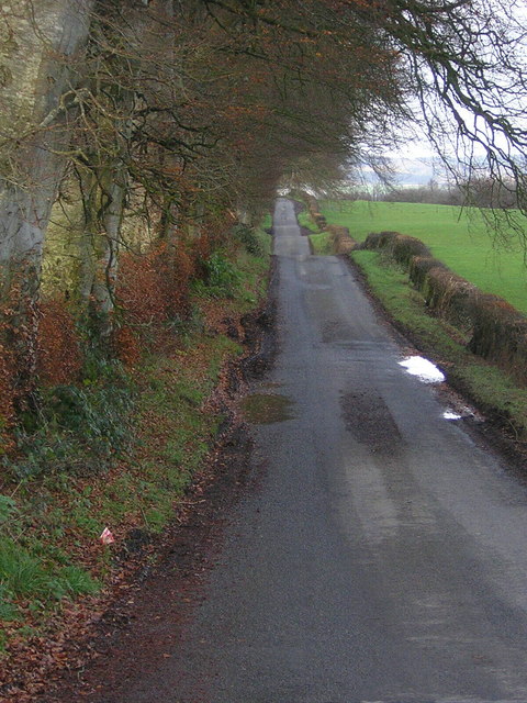
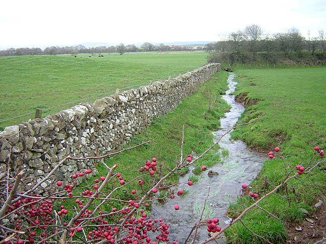
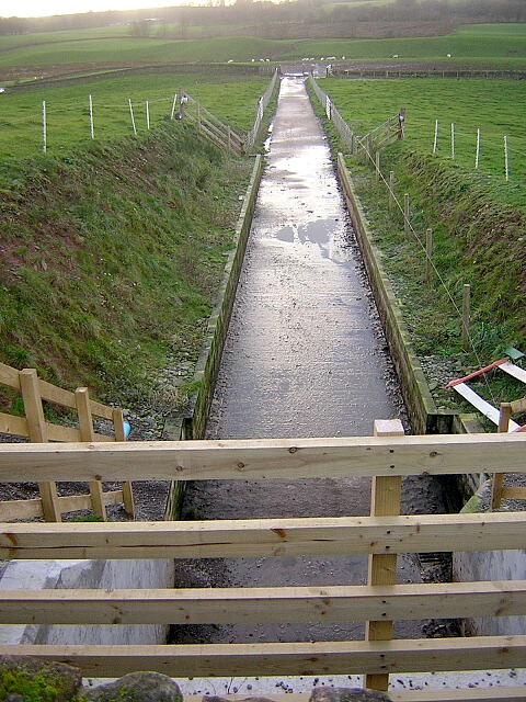
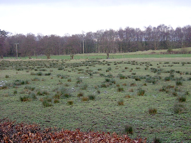
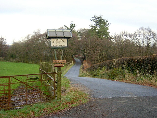
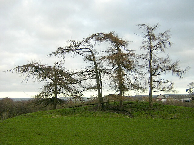
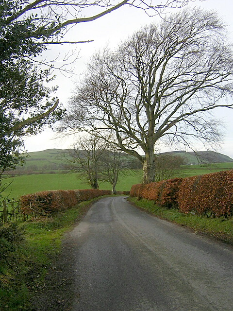
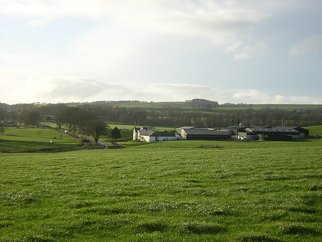
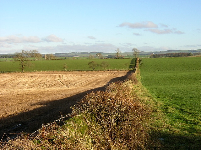
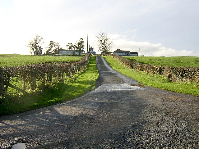
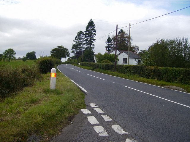
Slacks Wood Images

Images are sourced within 2km of 55.13443/-3.4757381 or Grid Reference NY0683. Thanks to Geograph Open Source API. All images are credited.

Mill Loch, Lochmaben One of the three Lochmaben lochs. The farm, centre, on the far side of the loch is right on the southern edge of this square.
Mill Loch, Lochmaben
One of the three Lochmaben lochs. The farm, centre, on the far side of the loch is right on the southern edge of this square.
Mill Loch, Lochmaben One of three lochs surrounding Lochmaben.
Mill Loch, Lochmaben
One of three lochs surrounding Lochmaben.
Kirk Loch looking onto Lochmaben Golf Course A lovely sunrise looking onto Lochmaben Golf Course over the Kirk Loch
Kirk Loch looking onto Lochmaben Golf Course
A lovely sunrise looking onto Lochmaben Golf Course over the Kirk Loch
Minor Road Near Chapelcroft
Watchill
Watchill
Minor Road Near Slacks
Minor Road Near Belzies
Burn Near Trailflat
Burn Near Trailflat
Underpass Approach The approach to a farm underpass under a minor road at Slacks Farm
Underpass Approach
The approach to a farm underpass under a minor road at Slacks Farm
Rough Grazing at Kenean Hill
Road to Belzies
Road to Belzies
Distorted Conifers Distorted larches near Belzies
Distorted Conifers
Distorted larches near Belzies
Minor Road Near Broomrigg
Burnside
Burnside
Fields Near Elshieshields
Road to Chapelcroft
Road to Chapelcroft
The A709 road west of Lochmaben
Show me another place!

Slacks Wood is located at Grid Ref: NY0683 (Lat: 55.13443, Lng: -3.4757381)

Unitary Authority: Dumfries and Galloway

Police Authority: Dumfries and Galloway

What 3 Words

///waiters.sleeper.charities. Near Lochmaben, Dumfries & Galloway

Nearby Locations

Blind Lochs Slacks Wood

Related Wikis

Lochmaben Hospital

Lochmaben Hospital is a health facility in Woodlands Drive, Lochmaben, Dumfries and Galloway, Scotland. It is managed by NHS Dumfries and Galloway. �...

Lochmaben railway station

Lochmaben railway station was a station which served Lochmaben, in the Scottish county of Dumfries and Galloway. It was served by trains on a local line...
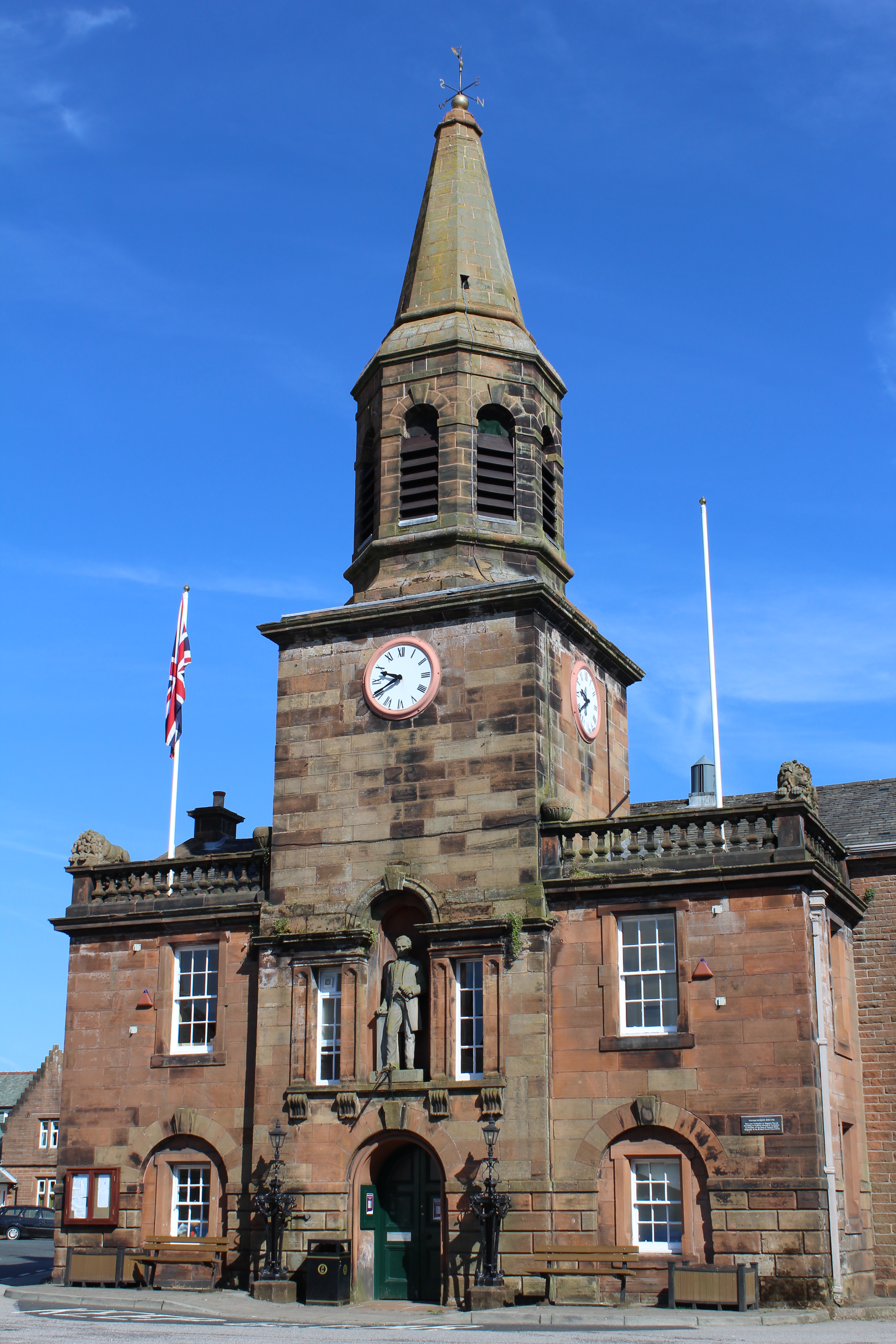
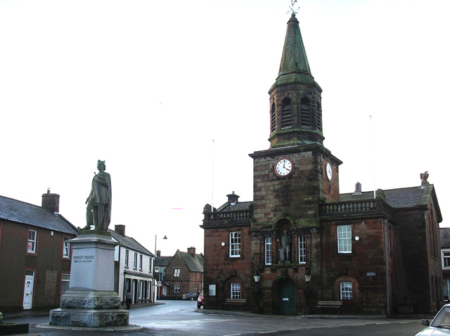
Lochmaben Town Hall

Lochmaben Town Hall is a municipal building in the High Street in Lochmaben, Dumfries and Galloway, Scotland. The structure, which accommodates a library...

Lochmaben

Lochmaben (Gaelic: Loch Mhabain) is a small town and civil parish in Scotland, and site of a castle. It lies 4 miles (6 km) west of Lockerbie, in Dumfries...

Nearby Amenities

Located within 500m of 55.13443,-3.4757381
Power: pole
Lat/Long: 55.133519/-3.4686669
The data included in this document is from www.openstreetmap.org. The data is made available under ODbL.

Have you been to Slacks Wood?

Leave your review of Slacks Wood below (or comments, questions and feedback).