Craigroy Wood
Wood, Forest in Morayshire
Scotland
Craigroy Wood

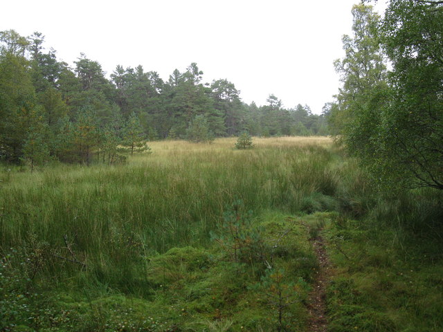
Craigroy Wood is a picturesque forest located in Morayshire, Scotland. Situated in the northeastern part of the country, this woodland area covers a total area of approximately 600 acres. The forest is known for its diverse range of tree species, including Scots pine, birch, oak, and rowan, which create a stunning and vibrant display throughout the year.
The woodland is a haven for wildlife, providing a rich habitat for various species. Visitors to Craigroy Wood can expect to encounter a wide array of animals, including red squirrels, roe deer, badgers, and numerous bird species such as woodpeckers and owls. The forest is also home to a variety of plant species, including rare orchids and bluebells, which carpet the forest floor during the spring months.
A network of well-maintained walking trails crisscrosses the forest, allowing visitors to explore its beauty at their own pace. The paths wind through ancient trees, alongside babbling streams, and offer breathtaking views of the surrounding countryside. These trails are suitable for all abilities, with options for both short, leisurely walks and longer hikes.
In addition to its natural beauty, Craigroy Wood also has historical significance. The remains of an ancient fort can be found within the forest, providing a glimpse into the area's past. Interpretive signage along the trails offers information about the forest's history and ecology, enhancing the visitor's experience.
Overall, Craigroy Wood in Morayshire is a captivating destination for nature enthusiasts and history buffs alike. With its diverse flora and fauna, well-maintained trails, and historical significance, this forest offers a truly immersive and enriching experience for all who visit.
If you have any feedback on the listing, please let us know in the comments section below.
Craigroy Wood Images
Images are sourced within 2km of 57.32793/-3.5627657 or Grid Reference NJ0627. Thanks to Geograph Open Source API. All images are credited.


Craigroy Wood is located at Grid Ref: NJ0627 (Lat: 57.32793, Lng: -3.5627657)
Unitary Authority: Highland
Police Authority: Highlands and Islands
What 3 Words
///vibrates.irritated.brushing. Near Grantown-on-Spey, Highland
Nearby Locations
Related Wikis
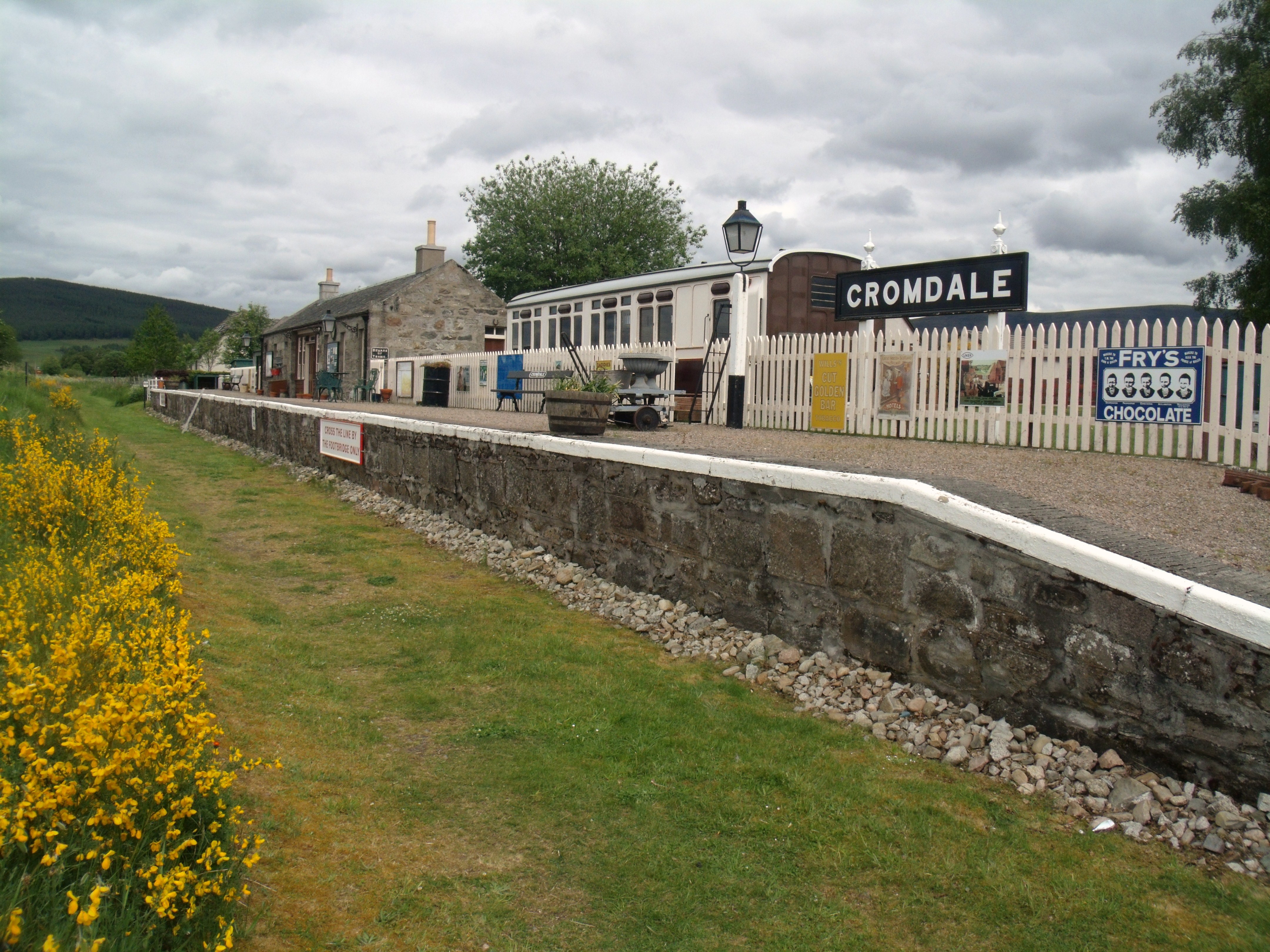
Cromdale railway station
Cromdale railway station served the village of Cromdale, Highland, in Scotland. == History == The station was opened by the Strathspey Railway (GNoSR)...
Cromdale
Cromdale (Scottish Gaelic: Cromdhail, from crom 'crooked' and dal 'valley, dale') is a village in Strathspey, in the Highland council area of Scotland...

Balmenach distillery
Balmenach distillery was established in 1824 by James McGregor, from a family of farmers and illicit distillers who resided in Tomintoul. == History... ==

Strathspey Thistle F.C.
Strathspey Thistle Football Club are a senior football club from Grantown-on-Spey in the Highlands of Scotland. They currently play in the Highland Football...
Nearby Amenities
Located within 500m of 57.32793,-3.5627657Have you been to Craigroy Wood?
Leave your review of Craigroy Wood below (or comments, questions and feedback).