Bog Wood
Wood, Forest in Fife
Scotland
Bog Wood
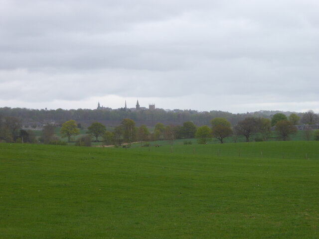
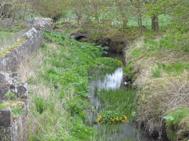
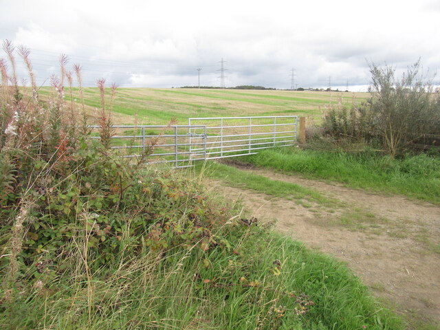
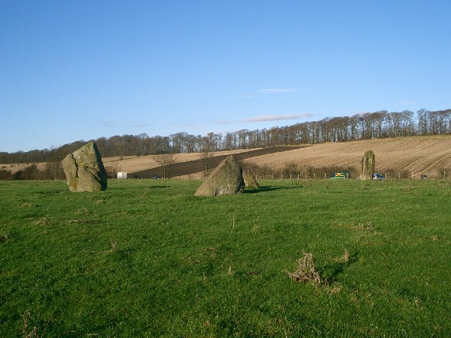
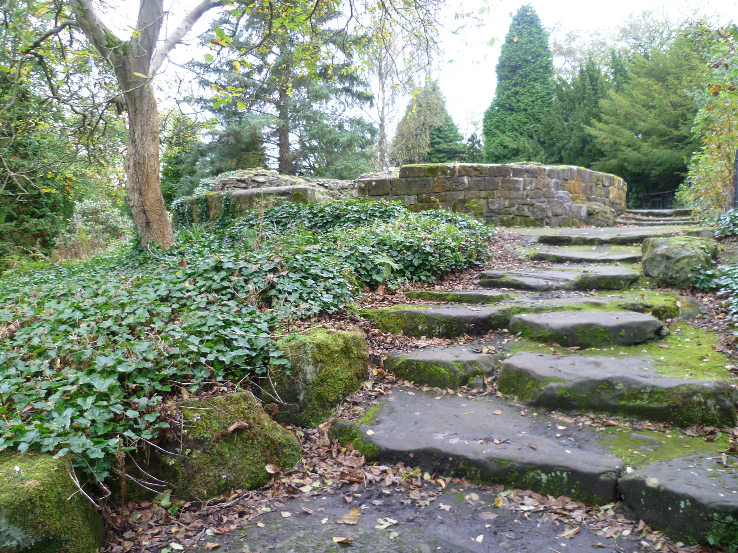
Bog Wood, located in Fife, Scotland, is a picturesque forest known for its unique combination of wetland and woodland habitats. Covering an area of approximately 200 hectares, the forest is primarily composed of ancient oak woodlands, interspersed with marshy bog areas.
The forest is characterized by its rich biodiversity, housing a variety of plant and animal species. The wetland areas are inhabited by a diverse array of water-loving plants, such as marsh marigold, reedmace, and bog moss. These wetland plants create a vibrant display of color during the spring and summer months.
Bog Wood is also home to several species of birds, including the rare and elusive cuckoo, which can be heard echoing through the forest during the breeding season. Other bird species commonly spotted in the area include woodpeckers, thrushes, and warblers.
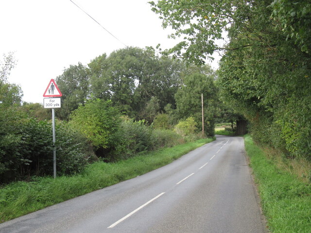
The forest is a haven for wildlife enthusiasts and nature lovers, offering numerous walking trails and nature reserves to explore. Visitors can immerse themselves in the tranquility of the woodland, enjoying the fresh air and the soothing sounds of nature. The forest is also a popular destination for photographers, who are drawn to the captivating landscapes and the opportunity to capture unique shots of wildlife in their natural habitat.
Overall, Bog Wood in Fife offers a captivating and enchanting experience for those seeking to connect with nature and explore the beauty of Scotland's woodlands.
If you have any feedback on the listing, please let us know in the comments section below.
Bog Wood Images
Images are sourced within 2km of 56.062531/-3.5113254 or Grid Reference NT0586. Thanks to Geograph Open Source API. All images are credited.


Bog Wood is located at Grid Ref: NT0586 (Lat: 56.062531, Lng: -3.5113254)
Unitary Authority: Fife
Police Authority: Fife
What 3 Words
///prancing.lies.outgoing. Near Crossford, Fife
Nearby Locations
Related Wikis

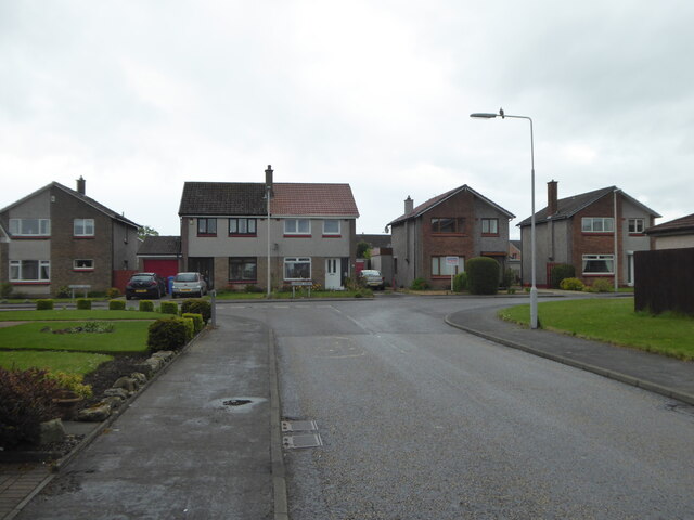
Crossford, Fife
Crossford is a splendid village in West Fife, Scotland (population in 2011 was 2358). It is 1 mile (1.5 kilometres) west of Dunfermline, east of Cairneyhill...
Cairneyhill
Cairneyhill is a village in West Fife, Scotland. It is 3 miles west of Dunfermline, on the A994, and has a population of around 2,510 (mid-2020 est.)The...
Cairneyhill railway station
Cairneyhill railway station served the village of Cairneyhill, Fife, Scotland from 1906 to 1930 on the Kincardine Line. == History == The station opened...

Gowkhall
Gowkhall (for a period known as Balclune) is a hamlet in Fife Scotland, 3.6 miles (5.794 km) west of Dunfermline. The nearest village of size is Carnock...
DM Crombie
Defence Munitions Crombie is a military munitions depot on the upper Firth of Forth in West Fife, Scotland. The depot is located on the north shore of...
Torryburn
Torryburn (previously called Torry/ Torrie) is a village and parish in Fife, Scotland, lying on the north shore of the Firth of Forth. It is one of a number...

Pittencrieff Park
Pittencrieff Park (known locally as "The Glen") is a public park in Dunfermline, Fife, Scotland. It was purchased in 1902 by Andrew Carnegie, and given...
Malcolm's Tower
Malcolm's Tower, also known as Malcolm Canmore's Tower, is a historic site in the Scottish city of Dunfermline, Fife. It consists of the foundations of...
Nearby Amenities
Located within 500m of 56.062531,-3.5113254Have you been to Bog Wood?
Leave your review of Bog Wood below (or comments, questions and feedback).