Dovecot Wood
Wood, Forest in Midlothian
Scotland
Dovecot Wood
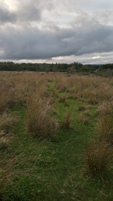
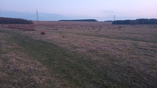
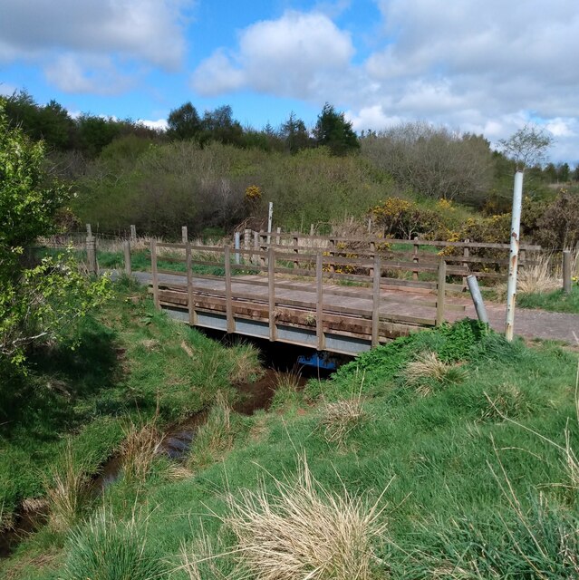
Dovecot Wood is a beautiful woodland area located in Midlothian, Scotland. The wood covers approximately 20 hectares and is a popular destination for nature lovers and outdoor enthusiasts. The wood is home to a variety of wildlife, including deer, birds, and squirrels.
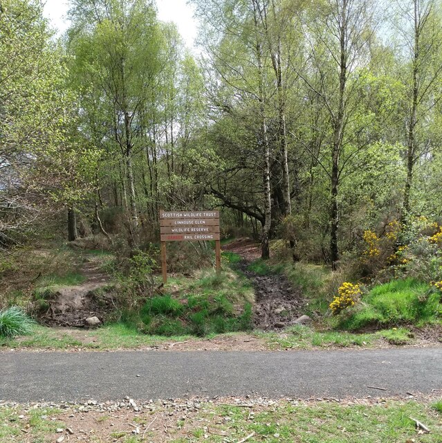
Visitors to Dovecot Wood can enjoy a network of well-maintained walking trails that wind through the dense forest, offering stunning views of the surrounding countryside. The wood is also a popular spot for birdwatching, with a wide variety of bird species to be spotted throughout the year.
In addition to its natural beauty, Dovecot Wood also has a rich history. The wood was once part of a larger estate and has been carefully preserved over the years to maintain its character and charm.
Overall, Dovecot Wood is a peaceful and picturesque woodland area that offers a tranquil escape from the hustle and bustle of everyday life. Whether you're looking for a leisurely stroll through the forest or a birdwatching adventure, Dovecot Wood has something to offer for everyone.
If you have any feedback on the listing, please let us know in the comments section below.
Dovecot Wood Images
Images are sourced within 2km of 55.851391/-3.5031502 or Grid Reference NT0563. Thanks to Geograph Open Source API. All images are credited.


Dovecot Wood is located at Grid Ref: NT0563 (Lat: 55.851391, Lng: -3.5031502)
Unitary Authority: West Lothian
Police Authority: The Lothians and Scottish Borders
What 3 Words
///tamed.boom.jars. Near Polbeth, West Lothian
Nearby Locations
Related Wikis
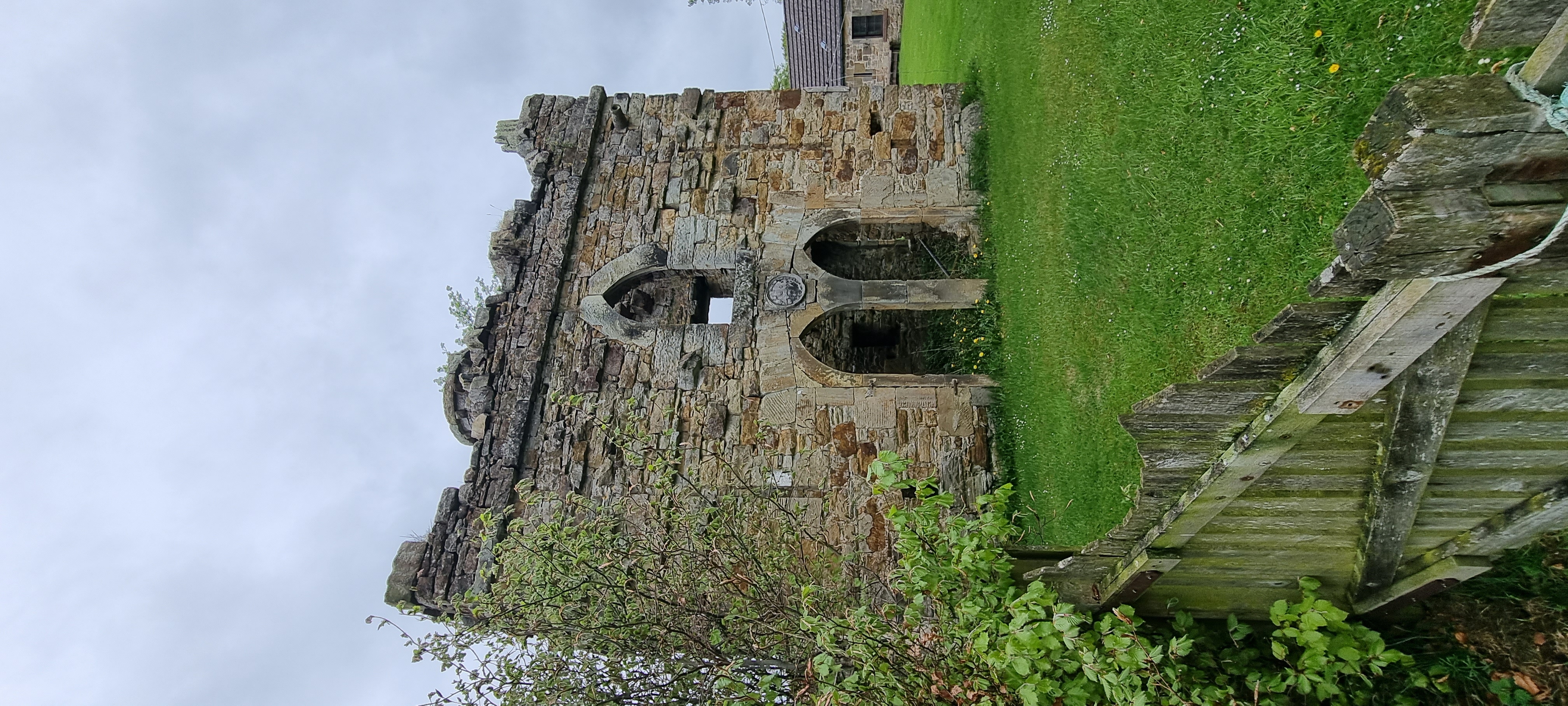
Murieston Castle
Murieston Castle is a ruined tower house, dating from the 16th century, 2 miles (3.2 km) west of West Calder, west of the Murieston Water, at Murieston...

Morton, West Lothian
Morton is a locality in the parish of Kirknewton, in West Lothian, Scotland.The locality has given its name to Morton Hill, Morton Burn and Upper and Lower...

Murieston
Murieston (From Muir (moor) of Houstoun) is a primarily residential district on the southern edge of Livingston, West Lothian, Scotland. It lies to the...

Newpark railway station
Newpark railway station was a railway station serving Newpark near Bellsquarry in West Lothian, then called Linlithgowshire. It was on the Cleland and...
Nearby Amenities
Located within 500m of 55.851391,-3.5031502Have you been to Dovecot Wood?
Leave your review of Dovecot Wood below (or comments, questions and feedback).