Hangingside Wood

Wood, Forest in West Lothian

Scotland

Hangingside Wood

Ashes off Ecclesmachan Road Farmland north of Uphall.
Ashes off Ecclesmachan Road Credit: Richard Webb

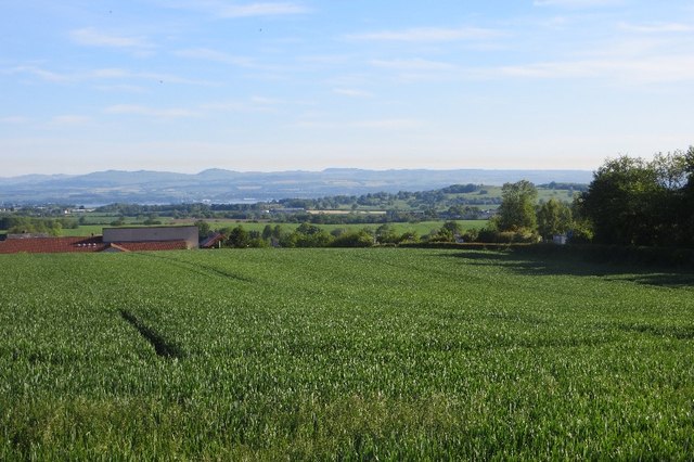
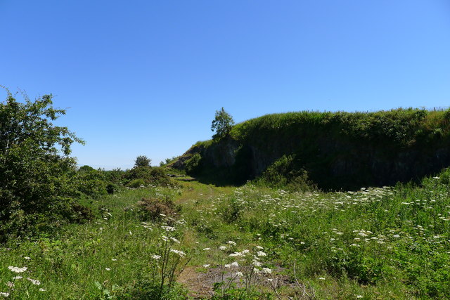
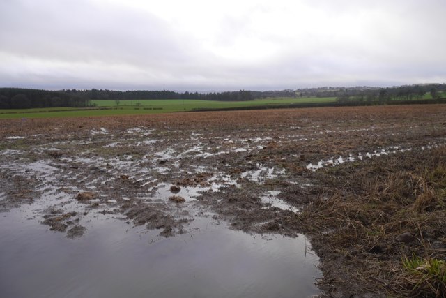
Hangingside Wood is a picturesque forest located in West Lothian, Scotland. Covering an area of approximately 100 acres, this woodland is known for its stunning natural beauty and diverse flora and fauna.

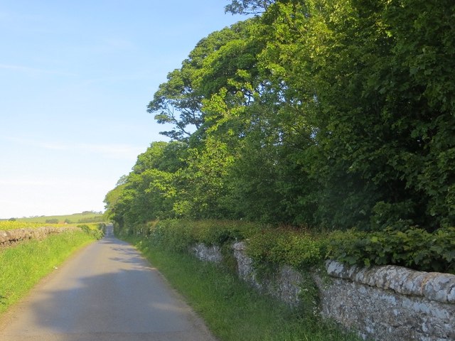
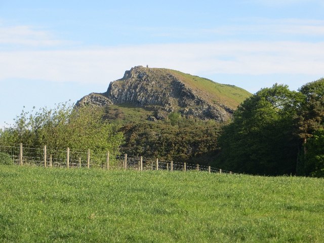
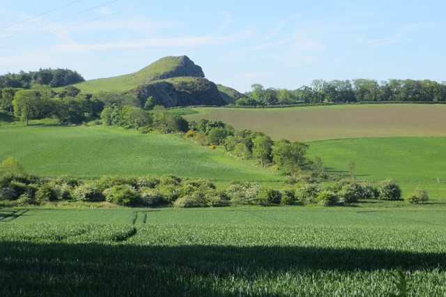
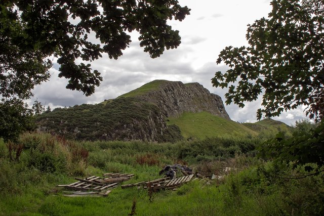
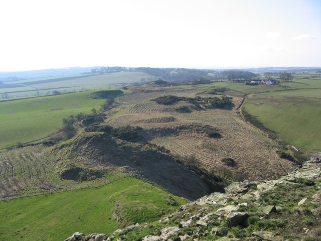
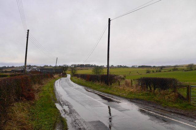
The wood is situated on the southern slopes of the Bathgate Hills, offering visitors breathtaking views of the surrounding countryside. It is easily accessible by foot and is a popular destination for hikers, nature enthusiasts, and families looking for a peaceful retreat.

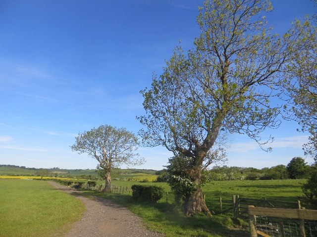
The wood is predominantly made up of native broadleaf trees, including oak, ash, and birch. The dense canopy provides ample shade and creates a cool and tranquil atmosphere. The forest floor is covered with a carpet of ferns and wildflowers, adding to its enchanting appeal.

Hangingside Wood is home to a rich variety of wildlife, making it a haven for birdwatchers and animal lovers. Visitors may spot red squirrels, roe deer, and various species of birds such as woodpeckers, owls, and thrushes. In spring, the wood comes alive with the sound of birdsong, creating a truly magical experience.

The wood is crisscrossed with a network of well-maintained trails, allowing visitors to explore its beauty at their own pace. There are also picnic areas and benches scattered throughout the wood, providing the perfect spot to relax and enjoy a packed lunch amidst nature.

Overall, Hangingside Wood offers a serene escape from the hustle and bustle of everyday life. Its natural beauty, diverse wildlife, and peaceful ambiance make it a must-visit destination for anyone seeking solace in the heart of West Lothian.

If you have any feedback on the listing, please let us know in the comments section below.

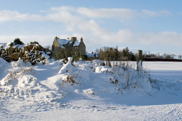
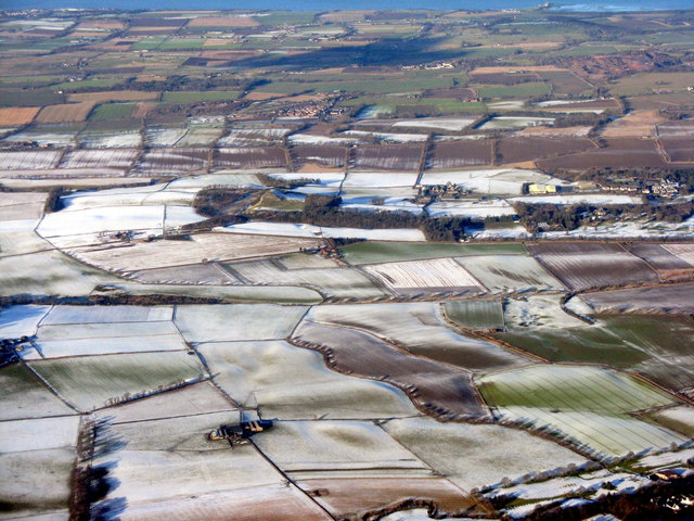
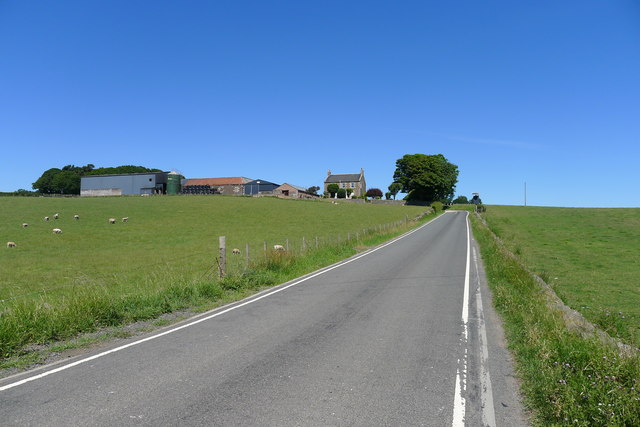
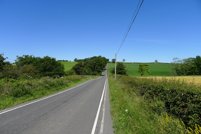
Hangingside Wood Images

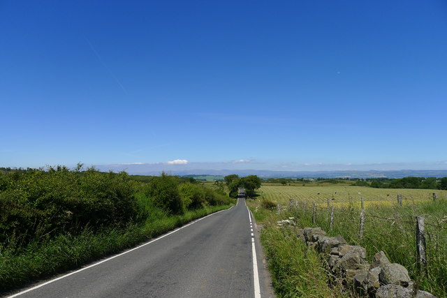
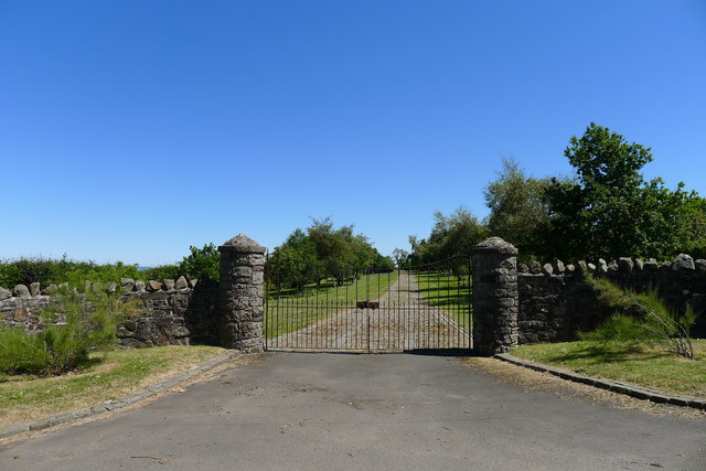
Images are sourced within 2km of 55.944116/-3.5359957 or Grid Reference NT0473. Thanks to Geograph Open Source API. All images are credited.

Ashes off Ecclesmachan Road Farmland north of Uphall.
Ashes off Ecclesmachan Road
Farmland north of Uphall.
Road, Binny Oatridge Golf Club lurks behind the wall and wood.
Road, Binny
Oatridge Golf Club lurks behind the wall and wood.
Binny Craig A quarried igneous outcrop and local landmark.
Binny Craig
A quarried igneous outcrop and local landmark.
Cut grass, West Binney Silage production in West Lothian.
Cut grass, West Binney
Silage production in West Lothian.
Field above Bridgend Arable farming, West Lothian.
Field above Bridgend
Arable farming, West Lothian.
View towards Binny Craig Arable land around Oatridge.
View towards Binny Craig
Arable land around Oatridge.
Binnie Craig from Hangingside The farm rubbish dump in the foreground detracts from the pleasant view of the Binnie Craig west facing rock face.
Binnie Craig from Hangingside
The farm rubbish dump in the foreground detracts from the pleasant view of the Binnie Craig west facing rock face.
Heathers on Binnie Craig A fine display of heathers on the most northerly of the line of west facing crags on Binnie Craig.
Heathers on Binnie Craig
A fine display of heathers on the most northerly of the line of west facing crags on Binnie Craig.
Ochiltree Castle in the snow Ochiltree Castle is a 16th century tower house which is now a private residence. It is situated on a ridge and commands extensive views to the north along the Forth valley.
Ochiltree Castle in the snow
Ochiltree Castle is a 16th century tower house which is now a private residence. It is situated on a ridge and commands extensive views to the north along the Forth valley.
West Lothian fieldscape Looking north from over Livingston. Binny Craig is at left centre, at the end of the line of trees; Blackness is at upper right on the shore of the Firth of Forth
West Lothian fieldscape
Looking north from over Livingston. Binny Craig is at left centre, at the end of the line of trees; Blackness is at upper right on the shore of the Firth of Forth
Approaching Burnhouse
Road C21 crossing Binny Burn The bedrock geology and glaciation of Scotland's Central Lowlands (Midland Valley) has resulted in east-west trending dips in the topography, evident in the gentle dips visible in straight north-south roads such as this.
Road C21 crossing Binny Burn
The bedrock geology and glaciation of Scotland's Central Lowlands (Midland Valley) has resulted in east-west trending dips in the topography, evident in the gentle dips visible in straight north-south roads such as this.
The C21 crossing Mains Burn The bedrock geology and glaciation of Scotland's Central Lowlands (Midland Valley) has resulted in east-west trending dips in the topography, evident in the gentle dips visible in straight north-south roads such as this.
The C21 crossing Mains Burn
The bedrock geology and glaciation of Scotland's Central Lowlands (Midland Valley) has resulted in east-west trending dips in the topography, evident in the gentle dips visible in straight north-south roads such as this.
Quarry north of Ochiltree Mill Exploited some of the Carboniferous intrusive igneous rocks common in Scotland's Midland Valley
Quarry north of Ochiltree Mill
Exploited some of the Carboniferous intrusive igneous rocks common in Scotland's Midland Valley
Entrance to Ochiltree Castle
Young woodland below Binny Craig The path to Binny Craig runs through a newly planted woodland.
Young woodland below Binny Craig
The path to Binny Craig runs through a newly planted woodland.
Stubble, Blackcraig During a prolonged wet spell.
Stubble, Blackcraig
During a prolonged wet spell.
Road passing Blackcraig High ground north of Dechmont.
Road passing Blackcraig
High ground north of Dechmont.
Show me another place!

Hangingside Wood is located at Grid Ref: NT0473 (Lat: 55.944116, Lng: -3.5359957)

Unitary Authority: West Lothian

Police Authority: The Lothians and Scottish Borders

What 3 Words

///cuff.engage.reporters. Near Broxburn, West Lothian

Related Wikis

Ochiltree Castle, West Lothian

Ochiltree Castle (previously: Uchiltre; meaning: the high town or high dwelling place) is a 16th-century tower house a few miles south east of Linlithgow...

Ecclesmachan

Ecclesmachan (Gaelic: Eaglais Mhachain) (Welsh: Eglwys Machan) (NT058736) is an historic village in West Lothian. It lies just north of Uphall on the...

Bridgend, West Lothian

Bridgend is a village which neighbours Linlithgow, in West Lothian, Scotland. It also has a football team called Bridgend United. In 2018 it had an estimated...

Uphall

Uphall (Scots: Uphauch, Scottish Gaelic: Ubhalaidh) is a village in West Lothian, Scotland. It is a swiftly growing village in a conurbation with Broxburn...

Nearby Amenities

Located within 500m of 55.944116,-3.5359957
Binny Craig
Ele: 220
Natural: peak
Tourism: viewpoint
Lat/Long: 55.9448109/-3.5336375
Man Made: survey_point
Source: Bing;survey
Lat/Long: 55.9446473/-3.5338603
Power: pole
Lat/Long: 55.9407833/-3.5403973
Barrier: stile
Lat/Long: 55.9478955/-3.5335643
The data included in this document is from www.openstreetmap.org. The data is made available under ODbL.

Have you been to Hangingside Wood?

Leave your review of Hangingside Wood below (or comments, questions and feedback).