Pinnacle Wood
Wood, Forest in Dumfriesshire
Scotland
Pinnacle Wood

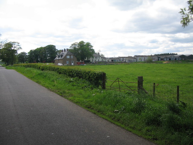
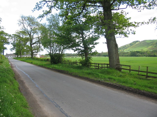
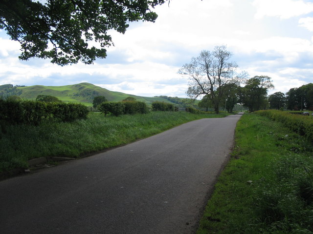
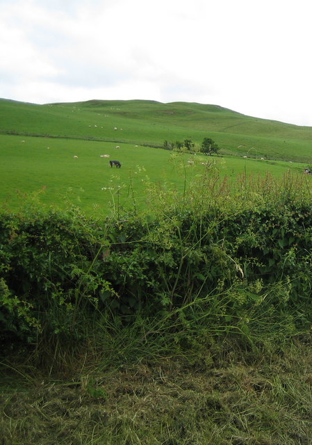
Pinnacle Wood is a mesmerizing forest located in Dumfriesshire, a historic county in the southwest of Scotland. This enchanting woodland covers an area of approximately 100 acres and is known for its diverse flora and fauna, making it a popular destination for nature enthusiasts and outdoor adventurers.
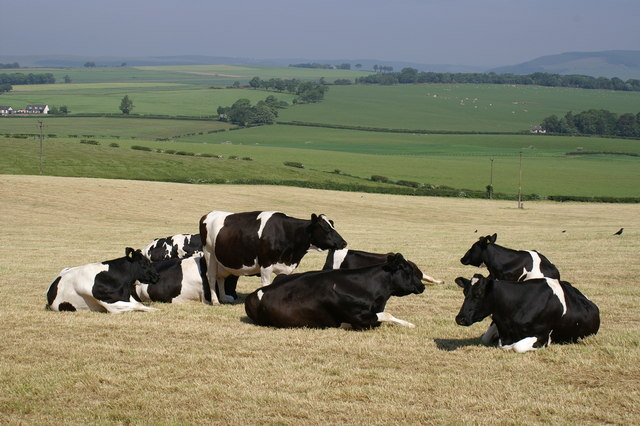
The forest is characterized by its rich and vibrant ecosystem, boasting a wide variety of tree species such as oak, beech, birch, and pine. These towering trees create a breathtaking canopy that offers shade and shelter to an array of wildlife. Pinnacle Wood is home to numerous bird species, including woodpeckers, owls, and various songbirds, making it a paradise for birdwatchers.
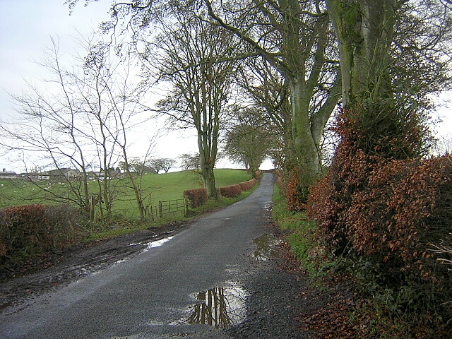
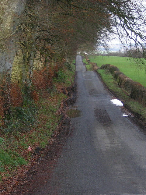
Tranquility and serenity define Pinnacle Wood, as the peaceful atmosphere allows visitors to escape the hustle and bustle of everyday life. The forest offers a network of well-maintained trails that wind through the trees, providing opportunities for hiking, walking, and exploring. Along these paths, visitors can discover hidden gems like a tranquil pond and picturesque viewpoints that offer stunning vistas of the surrounding countryside.
In addition to its natural beauty, Pinnacle Wood also has historical significance. The forest is home to the remnants of an ancient settlement, with archaeological evidence dating back thousands of years. These traces of human habitation provide insight into the rich history of the area and add an extra layer of intrigue to the woodland experience.
Overall, Pinnacle Wood is a captivating and diverse forest that offers a blend of natural beauty, tranquility, and historical interest. Whether visitors seek solace in nature, enjoy birdwatching, or appreciate the rich history of the land, Pinnacle Wood is sure to leave a lasting impression.
If you have any feedback on the listing, please let us know in the comments section below.
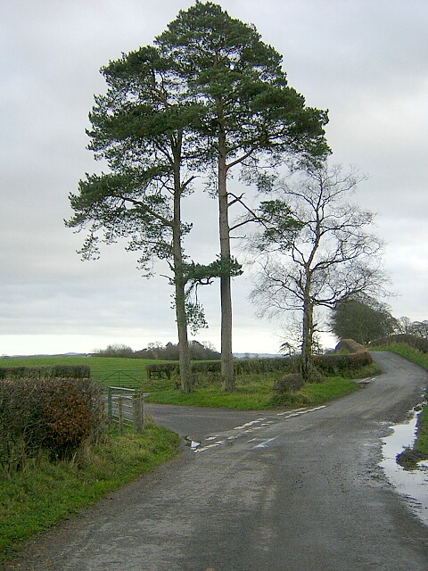
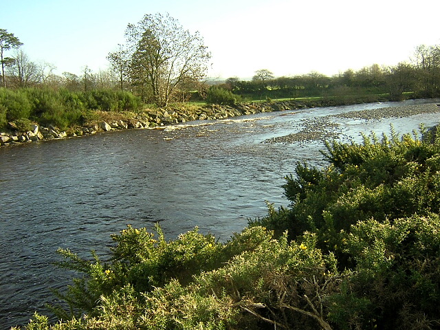
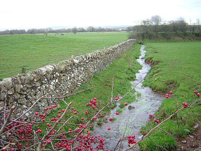
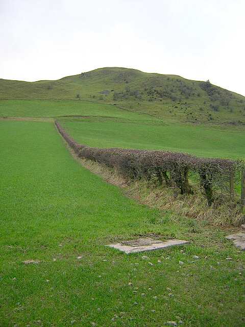
Pinnacle Wood Images
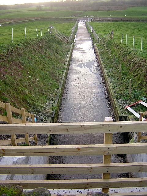
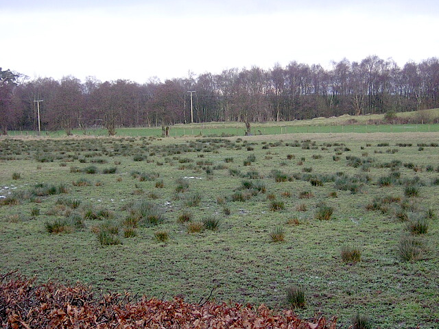
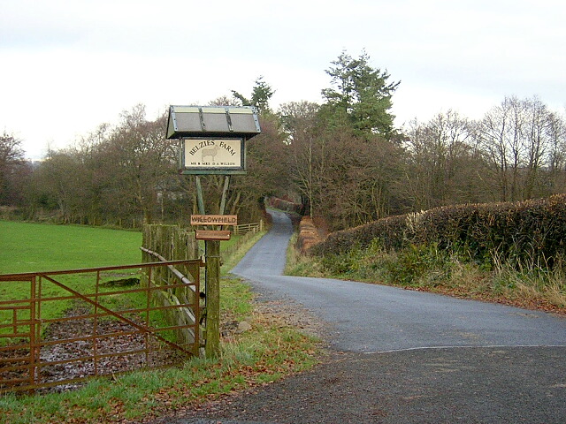
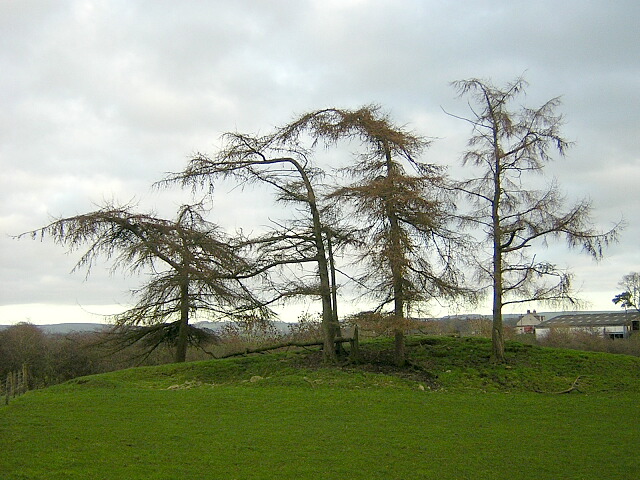
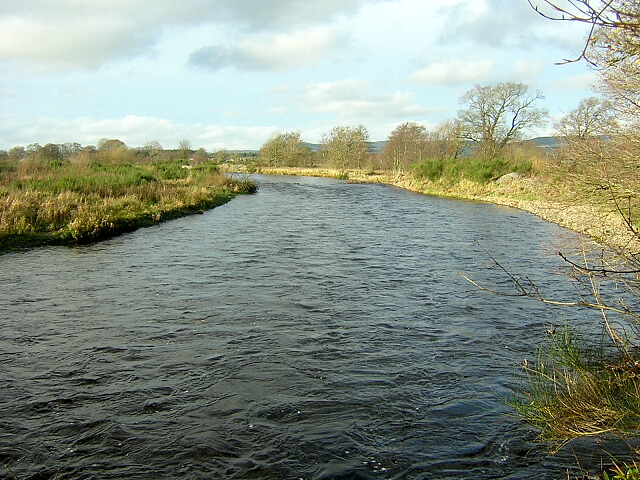
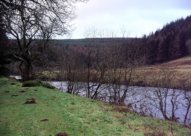
Images are sourced within 2km of 55.143478/-3.5052871 or Grid Reference NY0484. Thanks to Geograph Open Source API. All images are credited.
Pinnacle Wood is located at Grid Ref: NY0484 (Lat: 55.143478, Lng: -3.5052871)
Unitary Authority: Dumfries and Galloway
Police Authority: Dumfries and Galloway
What 3 Words
///corrosive.developed.collide. Near Lochmaben, Dumfries & Galloway
Nearby Locations
Related Wikis

Shieldhill railway station
Shieldhill railway station was a station which served Shieldhill, in the Scottish county of Dumfries and Galloway. It was served by trains on a local line...

Dumfriesshire
Dumfriesshire or the County of Dumfries or Shire of Dumfries (Scottish Gaelic: Siorrachd Dhùn Phris) is a historic county and registration county in southern...
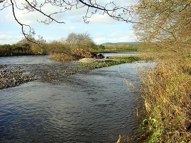
Water of Ae
The Water of Ae is a tributary of the River Annan into which it flows west of Lockerbie in Dumfries and Galloway administrative county of South West Scotland...

Lochmaben Hospital
Lochmaben Hospital is a health facility in Woodlands Drive, Lochmaben, Dumfries and Galloway, Scotland. It is managed by NHS Dumfries and Galloway. �...
Nearby Amenities
Located within 500m of 55.143478,-3.5052871Have you been to Pinnacle Wood?
Leave your review of Pinnacle Wood below (or comments, questions and feedback).