Castle Bytham
Settlement in Lincolnshire South Kesteven
England
Castle Bytham

Castle Bytham is a picturesque village located in the South Kesteven district of Lincolnshire, England. Situated near the borders of Rutland and Leicestershire, this rural settlement is known for its scenic beauty and rich history. The village derives its name from the 12th-century castle ruins that once stood prominently on the outskirts.
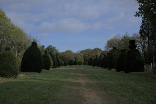
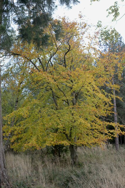
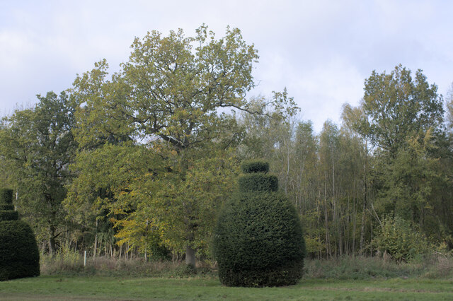
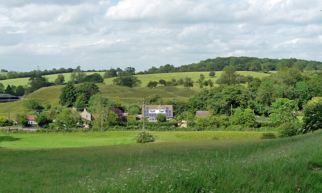
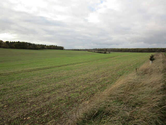
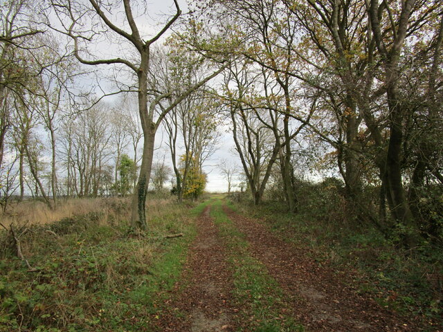
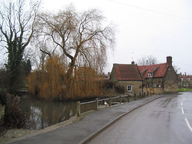
The standout feature of Castle Bytham is its tranquil surroundings. Nestled amidst rolling countryside, the village offers breathtaking views of the nearby hills and meadows. The River Witham runs through the village, adding to its charm. The area is also dotted with ancient woodlands, providing a haven for nature lovers and walkers.
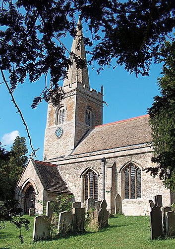
Historically, Castle Bytham was an important settlement during the medieval period. The castle, built by the Normans, played a crucial role in defending the region. While the castle itself is now in ruins, its remnants still evoke a sense of awe and offer a glimpse into the village's past. The village also boasts a beautiful 12th-century parish church, St. James, which is a testament to its historical significance.
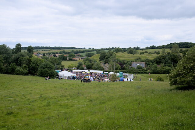
Today, Castle Bytham is primarily a residential area, with a close-knit community that values its rural charm. The village has a few amenities, including a pub, a village store, and a primary school. It also hosts an annual summer fair, attracting visitors from far and wide.
Castle Bytham is a hidden gem in Lincolnshire, offering a tranquil escape from the hustle and bustle of city life. With its stunning natural beauty and rich history, it remains a beloved destination for both locals and tourists seeking a taste of rural England.
If you have any feedback on the listing, please let us know in the comments section below.
Castle Bytham Images
Images are sourced within 2km of 52.753755/-0.535755 or Grid Reference SK9818. Thanks to Geograph Open Source API. All images are credited.


Castle Bytham is located at Grid Ref: SK9818 (Lat: 52.753755, Lng: -0.535755)
Division: Parts of Kesteven
Administrative County: Lincolnshire
District: South Kesteven
Police Authority: Lincolnshire
What 3 Words
///vaulting.fishnet.sofas. Near Clipsham, Rutland
Nearby Locations
Related Wikis
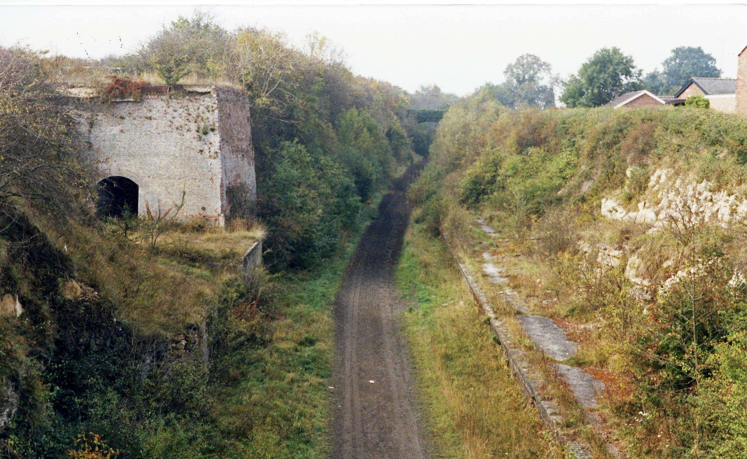
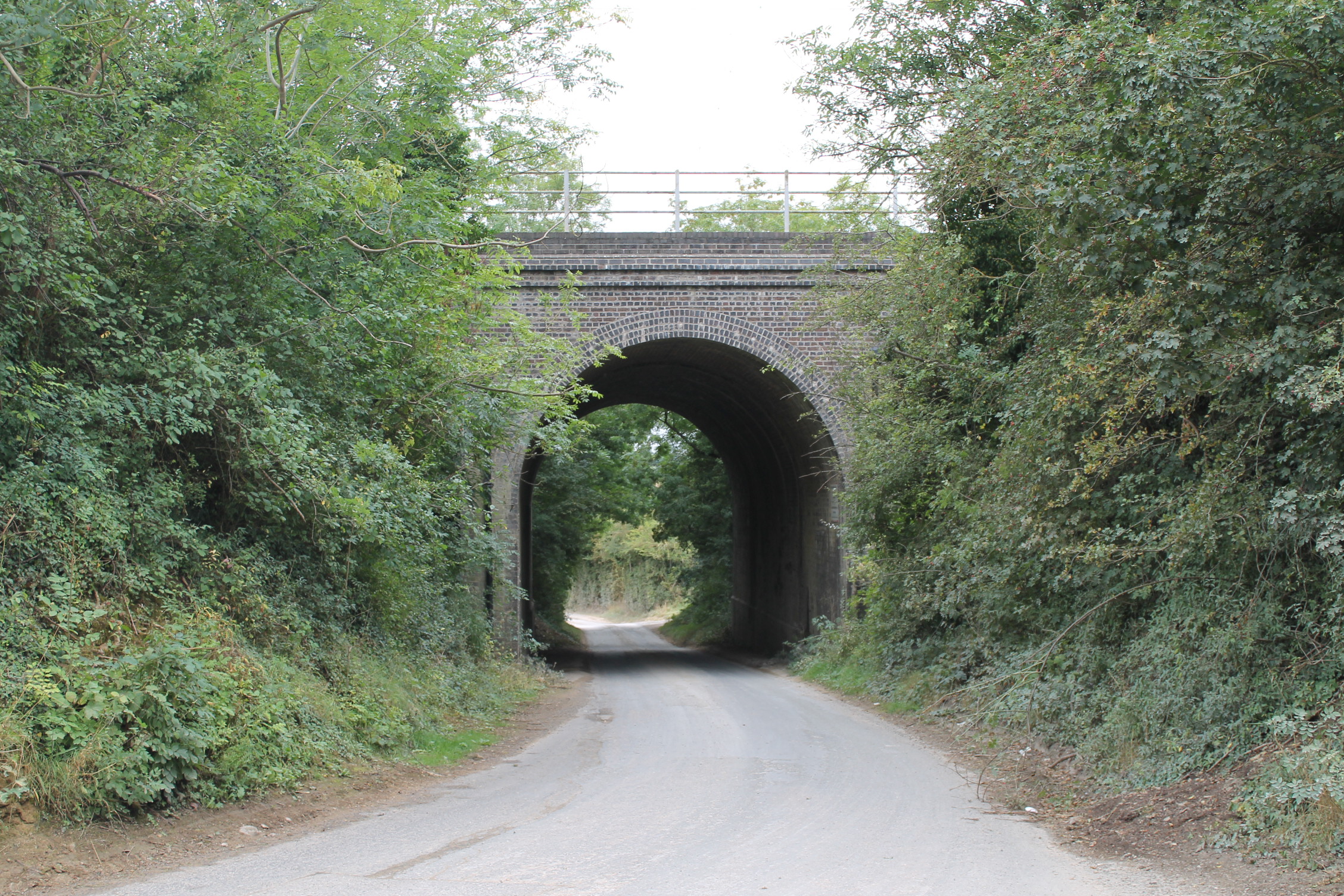
Castle Bytham railway station
Castle Bytham railway station was a station in Castle Bytham. It was Midland Railway property but train services were operated by the Midland and Great...
Castle Bytham
Castle Bytham is a village and civil parish of around 300 houses in South Kesteven, Lincolnshire, England. It is located 9 miles (14 km) north of Stamford...
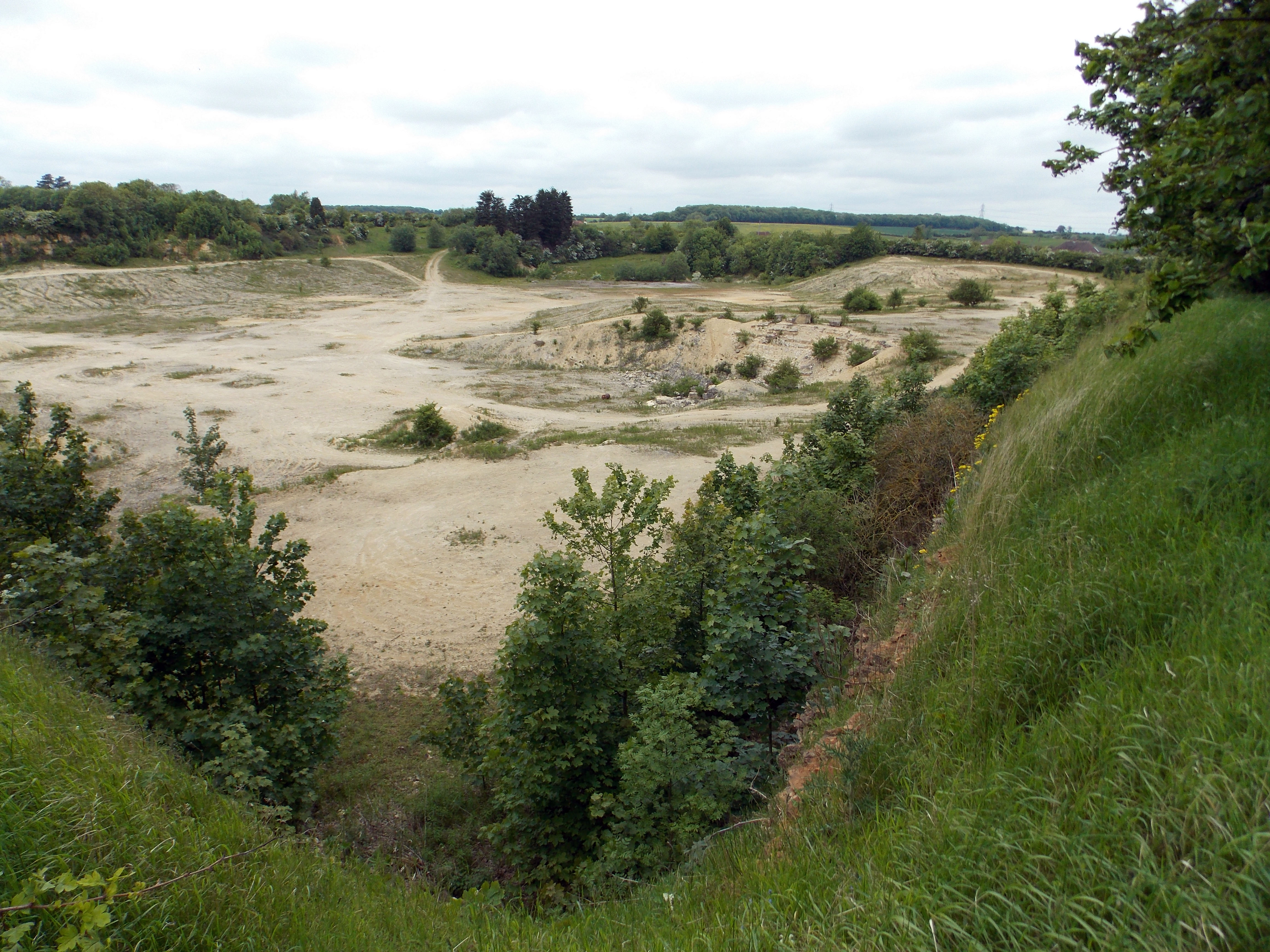
Castle Bytham Quarry
Castle Bytham quarry is a disused quarry located close to the centre of the village of Castle Bytham, Lincolnshire, England. It is famous for the exposure...
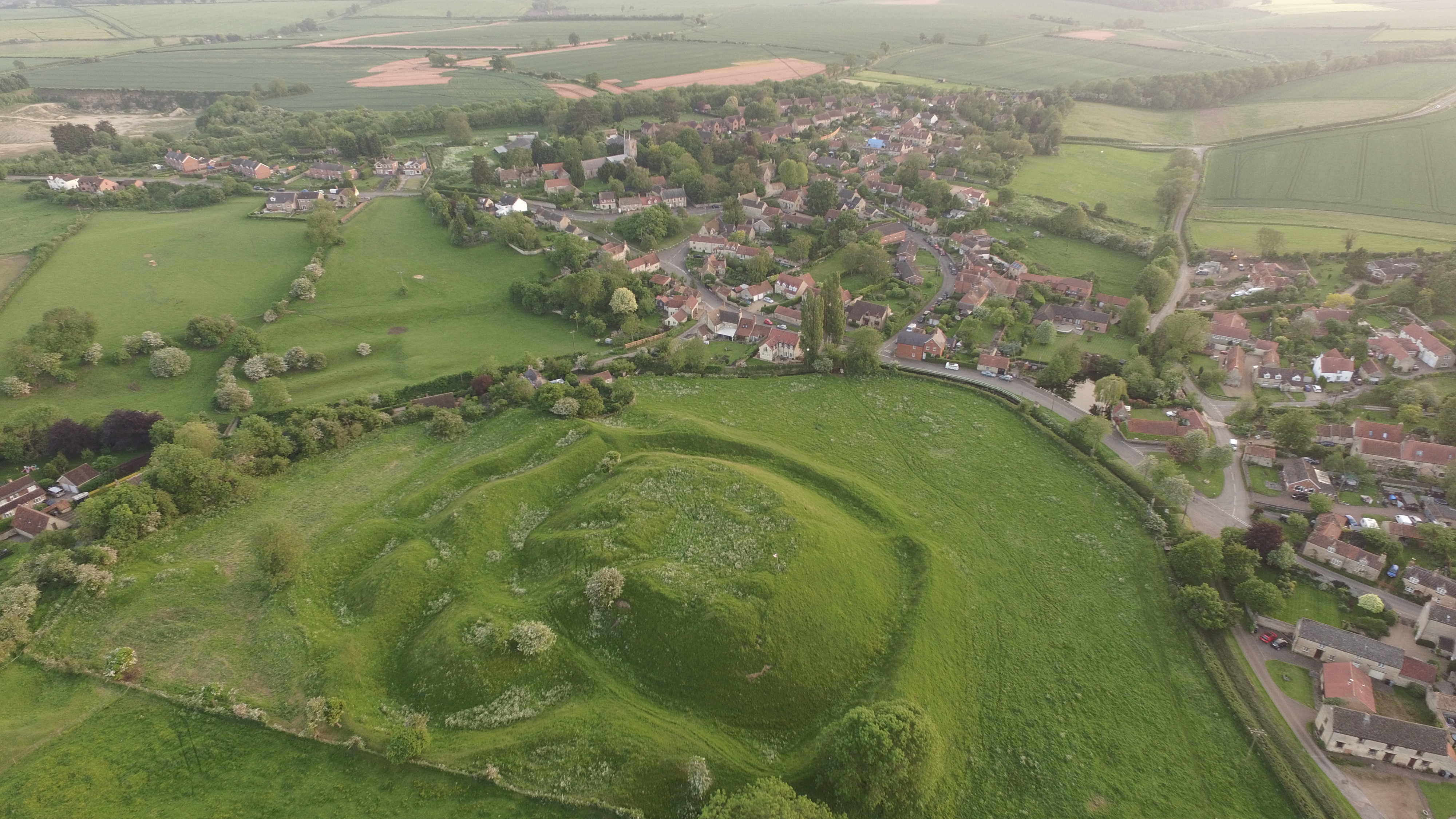
Bytham Castle
Bytham Castle was a castle in the village of Castle Bytham in Lincolnshire (grid reference SK992186.) The castle is thought to be of early Norman origin...
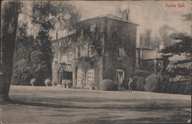
Gayton Hall
Gayton Hall is a country house in the parish of Gayton near King's Lynn in Norfolk. == History == The present building was built between 1803 and 1810...
Little Bytham
Little Bytham is a village and civil parish in the South Kesteven district of Lincolnshire, England. The population of the civil parish at the 2011 census...
St Medardus and St Gildardus Church, Little Bytham
The church of St Medardus and St Gildardus in Little Bytham, Lincolnshire, England, is a Grade I listed building. It is dedicated to two 6th-century French...
Counthorpe and Creeton
Counthorpe and Creeton is a civil parish in the South Kesteven district of Lincolnshire, England. According to the 2001 census it had a population of...
Nearby Amenities
Located within 500m of 52.753755,-0.535755Have you been to Castle Bytham?
Leave your review of Castle Bytham below (or comments, questions and feedback).