Bruntlands Wood

Wood, Forest in Morayshire

Scotland

Bruntlands Wood

Greens Kennels The first edition of the six-inch Ordnance Survey map names this as Halfdavoch Lodge
Greens Kennels Credit: Anne Burgess

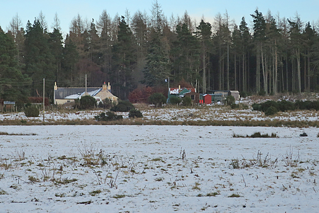
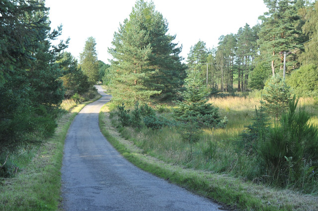
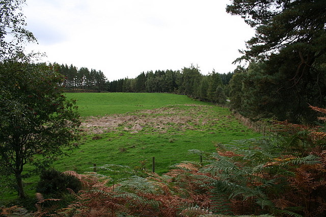
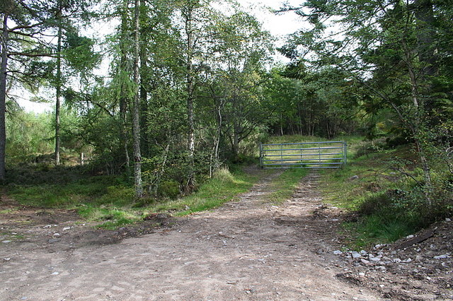
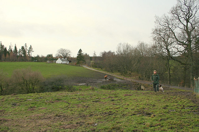
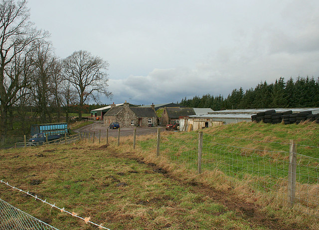
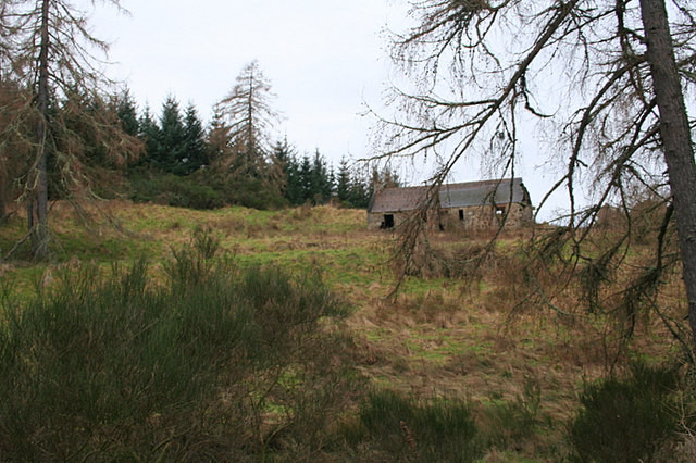
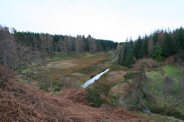
Bruntlands Wood is a picturesque forest located in Morayshire, Scotland. Covering an area of approximately 50 hectares, this ancient woodland is home to a diverse range of flora and fauna. The wood is predominantly made up of native species such as oak, birch, and rowan trees, creating a rich and vibrant ecosystem.

Visitors to Bruntlands Wood can enjoy a peaceful stroll along the well-maintained paths that wind through the forest, providing opportunities to observe the wildlife that inhabits the area. Birdwatchers may spot species such as woodpeckers, tits, and thrushes among the treetops, while red squirrels and deer are also commonly seen in the woodland.

The wood is a popular destination for nature lovers, hikers, and families looking to explore the great outdoors. Picnic areas and benches are scattered throughout the forest, offering visitors a chance to relax and take in the serene surroundings. Bruntlands Wood is managed by local conservation organizations to ensure the preservation of this beautiful natural habitat for future generations to enjoy.

If you have any feedback on the listing, please let us know in the comments section below.

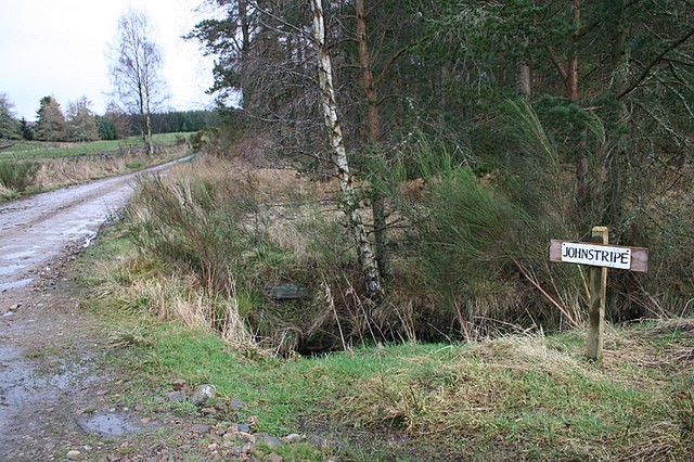
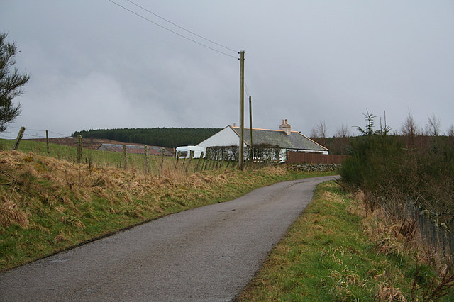
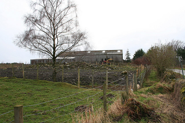
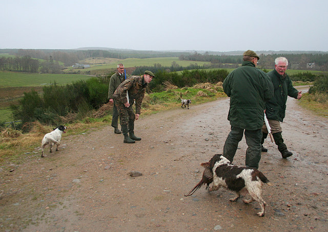
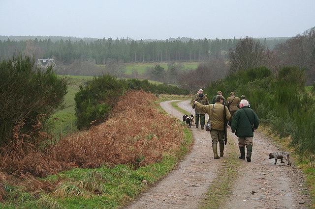
Bruntlands Wood Images

Images are sourced within 2km of 57.542697/-3.606051 or Grid Reference NJ0351. Thanks to Geograph Open Source API. All images are credited.

Greens Kennels The first edition of the six-inch Ordnance Survey map names this as Halfdavoch Lodge
Greens Kennels
The first edition of the six-inch Ordnance Survey map names this as Halfdavoch Lodge
Lane sign for Johnstripe. The lane off to the right also leads to Greens Kennels.
Lane sign for Johnstripe.
The lane off to the right also leads to Greens Kennels.
Roadside cottage by Swiney Hillock.
Barn at Wester Greens Farm.
Minor road near Tomnamoon
The old Highland  Railway line.
The old Highland Railway line.
The Dava Way. The route follows the dismantled Highland railway between Forres and Grantown on Spey.
The Dava Way.
The route follows the dismantled Highland railway between Forres and Grantown on Spey.
Clearing to the east of Cowgreens.
Part of the Craigroy herd. Craigroy Farm buildings are to be seen in the distance.
Part of the Craigroy herd.
Craigroy Farm buildings are to be seen in the distance.
The Babbling Burn near  Burntack.
The Babbling Burn near Burntack.
A locked gate on the track to Loch Romach.
Craigroy Croft, Altyre estate
The lane from Craigroy Farm leading past Halfdavoch cottage.
Craigroy Farm.
Craigroy Farm.
Through the larches to the Croft remains at Auldusack.
Drainage ditch and standing gun south of Auldusack.
The End of the Drive. The keeper and beaters tie up the loose ends at the end of the drive to the northwest of Burntack which you can see in the distance to the left.
The End of the Drive.
The keeper and beaters tie up the loose ends at the end of the drive to the northwest of Burntack which you can see in the distance to the left.
Off home at the end of the Altyre shoot.
Show me another place!

Bruntlands Wood is located at Grid Ref: NJ0351 (Lat: 57.542697, Lng: -3.606051)

Unitary Authority: Moray

Police Authority: North East

What 3 Words

///elevates.pirates.formation. Near Forres, Moray

Nearby Locations

Bruntlands Wood

Related Wikis

Doune of Relugas

The Doune of Relugas is a hill fort located 9.25 kilometres (5.75 mi) south south west of Forres in Moray, Scotland. It is situated on a rocky knoll rising...

Dunphail railway station

Dunphail railway station was opened with the Inverness and Perth Junction Railway in 1863. == Station layout == The station layout was double platform...

Rafford railway station

Rafford railway station at Rafford was opened with the Inverness and Perth Junction Railway in 1863. A full layout was provided (with a goods yard). The...

Dunphail Castle

Dunphail Castle is a ruined 14th-century tower house, about 6.5 miles (10.5 km) south of Forres, Moray, Scotland, west of nearby Dunphail House, and east...

Nearby Amenities

Located within 500m of 57.542697,-3.606051
Power: pole
Lat/Long: 57.5412069/-3.6001987
Power: pole
Lat/Long: 57.540972/-3.6008448
Power: pole
Lat/Long: 57.5405582/-3.601162
Power: pole
Lat/Long: 57.540122/-3.6014908
Power: pole
Lat/Long: 57.539687/-3.601815
Power: pole
Lat/Long: 57.5392557/-3.60216
Power: pole
Lat/Long: 57.5388232/-3.6024842
Power: pole
Lat/Long: 57.5393626/-3.602424
Power: pole
Lat/Long: 57.5403519/-3.602343
Power: pole
Lat/Long: 57.5414791/-3.6014376
Power: pole
Lat/Long: 57.5418966/-3.6002613
Power: pole
Lat/Long: 57.5423241/-3.599085
Power: pole
Lat/Long: 57.5399865/-3.6006619
Power: pole
Lat/Long: 57.5398597/-3.5999788
Craigroy
Place: isolated_dwelling
Lat/Long: 57.54158/-3.599542
The data included in this document is from www.openstreetmap.org. The data is made available under ODbL.

Have you been to Bruntlands Wood?

Leave your review of Bruntlands Wood below (or comments, questions and feedback).