Achibegg Moss

Wood, Forest in Caithness

Scotland

Achibegg Moss

Just as the sun came out!
Just as the sun came out! Credit: Peter Moore

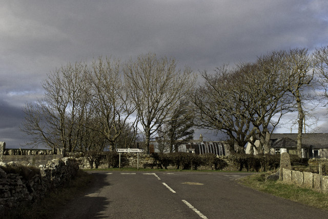
Achibegg Moss, located in Caithness, Scotland, is a captivating woodlands area known for its lush and diverse forest. Covering a vast expanse of land, Achibegg Moss is home to a variety of flora and fauna, making it a popular destination for nature enthusiasts and hikers alike.

The moss is characterized by its dense foliage, consisting of a mix of indigenous trees such as oak, birch, and pine, creating a picturesque landscape that changes dramatically with the seasons. During the spring and summer months, the forest floor is adorned with a vibrant carpet of wildflowers, offering a kaleidoscope of colors and scents.

Achibegg Moss boasts a network of well-maintained trails, allowing visitors to explore the woodlands at their own pace. The paths wind through the forest, meandering past crystal-clear streams and small ponds, providing ample opportunities for wildlife sightings. Birdwatchers will be delighted by the abundance of avian species that call Achibegg Moss home, including rare and elusive birds like the Scottish crossbill and the crested tit.

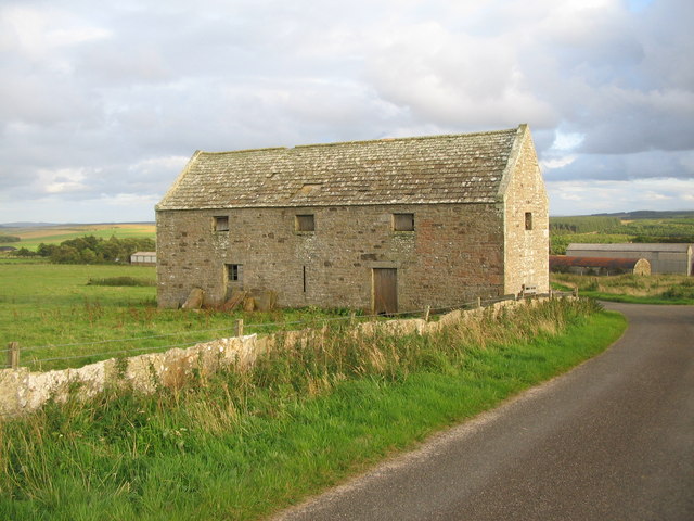
Nature conservation efforts have played a significant role in preserving the natural beauty of Achibegg Moss. The forest is designated as a protected area, ensuring the continued survival of its delicate ecosystem. Visitors are encouraged to respect the environment by adhering to designated paths and leaving no trace of their presence.

Achibegg Moss is a haven for those seeking solace in nature, offering a peaceful retreat and a chance to reconnect with the great outdoors.

If you have any feedback on the listing, please let us know in the comments section below.

Achibegg Moss Images

Images are sourced within 2km of 58.539651/-3.6784878 or Grid Reference ND0262. Thanks to Geograph Open Source API. All images are credited.

Just as the sun came out!
Works access to Baillie Hill Windfarm
Approach to Shebster A dull Caithness day.
Approach to Shebster
A dull Caithness day.
Approaching Achimenach A view looking to the west along national cycle route 1 approaching Achimenach at East Shebster.
Approaching Achimenach
A view looking to the west along national cycle route 1 approaching Achimenach at East Shebster.
Crop field at East Shebster A view looking to the southwest over a crop field near Achimenach at East Shebster.
Crop field at East Shebster
A view looking to the southwest over a crop field near Achimenach at East Shebster.
Derelict church at East Shebster A view looking to the north from national cycle route 1 towards the shell of a derelict church at East Shebster.
Derelict church at East Shebster
A view looking to the north from national cycle route 1 towards the shell of a derelict church at East Shebster.
Barn near Shebster A view looking to the south towards a barn near Shebster.
Barn near Shebster
A view looking to the south towards a barn near Shebster.
Approaching Shebster A view looking to the south approaching Shebster.
Approaching Shebster
A view looking to the south approaching Shebster.
Entrance to 'The Croft' A view looking to the east towards the entrance to 'The Croft'.
Entrance to 'The Croft'
A view looking to the east towards the entrance to 'The Croft'.
Track into Broubster Forest A view looking to the southwest along a track into Broubster Forest.
Track into Broubster Forest
A view looking to the southwest along a track into Broubster Forest.
Broubster Hill A view looking to the southwest towards forestry on Broubster Hill.
Broubster Hill
A view looking to the southwest towards forestry on Broubster Hill.
Woodland at Shebster This woodland, of mixed conifers and broadleaves, was planted on land that was formerly rough grazing.
Woodland at Shebster
This woodland, of mixed conifers and broadleaves, was planted on land that was formerly rough grazing.
Foresters' Hut Foresters' hut in Broubster Forest.
Foresters' Hut
Foresters' hut in Broubster Forest.
Dam at Loch Saorach This makeshift dam at the Loch Saorach outlet burn maintains the water level in the loch for trout fishing.
Dam at Loch Saorach
This makeshift dam at the Loch Saorach outlet burn maintains the water level in the loch for trout fishing.
The Achaveilan Burn This small burn drains Loch Saorach. It is inhabited by water voles and otters.
The Achaveilan Burn
This small burn drains Loch Saorach. It is inhabited by water voles and otters.
Farm road to Achalone
Small plantation on the Hill of Achalone
Sheepfold at Broubster This sheepfold is recorded on the First Edition O.S map, surveyed in 1871.
Sheepfold at Broubster
This sheepfold is recorded on the First Edition O.S map, surveyed in 1871.
Show me another place!

Achibegg Moss is located at Grid Ref: ND0262 (Lat: 58.539651, Lng: -3.6784878)

Unitary Authority: Highland

Police Authority: Highlands and Islands

What 3 Words

///river.gambles.moped. Near Reay, Highland

Related Wikis

Shebster

Shebster is a small remote hamlet, which lies 7 miles southwest of Thurso, in northern Caithness, Scottish Highlands and is in the Scottish council area...

Broubster

Broubster is a village in Highland, Scotland. Near Broubster, there is a Bronze Age megalithic arrangement. Ten stones remain of an original set of approximately...

Achreamie

Achreamie is a village in the Scottish council area of Highland. Achreamie is about 6 miles (9.7 km) west of Thurso and is less than two miles from the...

Achvarasdal

Achvarasdal (from the Norse placename meaning "Barr's valley", with the later, post 13th century addition of the Gaelic Ach-/Achadh- meaning "field") is...

Have you been to Achibegg Moss?

Leave your review of Achibegg Moss below (or comments, questions and feedback).