Achreregan Hill
Hill, Mountain in Caithness
Scotland
Achreregan Hill
Achreregan Hill is a prominent geographical feature situated in the county of Caithness, Scotland. Located in the northernmost part of the country, this hill stands tall at an elevation of approximately 351 meters (1,152 feet) above sea level. It is situated near the village of Reay, approximately 16 kilometers (10 miles) northwest of the town of Thurso.
The hill boasts a distinctive cone-shaped summit, which is easily recognizable from its surroundings. It is predominantly composed of sedimentary rocks, such as sandstone and limestone, which were formed millions of years ago during geological processes. Achreregan Hill is part of the wider Caithness landscape, known for its rugged terrain and dramatic coastal cliffs.
The hill offers breathtaking panoramic views of the surrounding countryside, including the picturesque coastline of the North Sea to the northeast. Its vantage point makes it a popular destination for hikers, nature enthusiasts, and photographers, who are captivated by the stunning vistas it provides.
The area surrounding Achreregan Hill is rich in flora and fauna, with heather, gorse, and various grasses covering its slopes. The hill is home to a diverse range of bird species, including buzzards, peregrine falcons, and ravens. Visitors may also encounter other wildlife, such as deer and rabbits, while exploring the hill's trails.
Achreregan Hill stands as a testament to the natural beauty and geological history of Caithness, attracting visitors from near and far who seek to immerse themselves in the tranquility and splendor of this remarkable Scottish landscape.
If you have any feedback on the listing, please let us know in the comments section below.
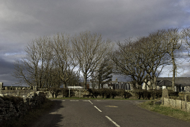
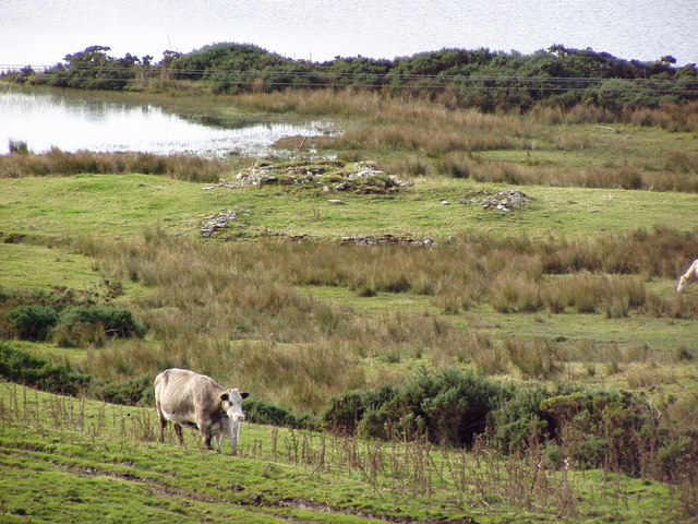
Achreregan Hill Images
Images are sourced within 2km of 58.537414/-3.6737426 or Grid Reference ND0262. Thanks to Geograph Open Source API. All images are credited.


Achreregan Hill is located at Grid Ref: ND0262 (Lat: 58.537414, Lng: -3.6737426)
Unitary Authority: Highland
Police Authority: Highlands and Islands
What 3 Words
///scribble.interacts.pouting. Near Reay, Highland
Nearby Locations
Related Wikis

Shebster
Shebster is a small remote hamlet, which lies 7 miles southwest of Thurso, in northern Caithness, Scottish Highlands and is in the Scottish council area...

Broubster
Broubster is a village in Highland, Scotland. Near Broubster, there is a Bronze Age megalithic arrangement. Ten stones remain of an original set of approximately...
Westfield, Highland
Westfield (Scottish Gaelic: An t-Achadh Siar) is a remote village, located 3 miles southeast of Thurso, in Caithness, Scottish Highlands and is in the...
Tulach an t-Sionnaich
Tulach an t-Sionnaich ("Mountain of the Fox"), is a cairn at the northern end of Loch Calder in Caithness, Scotland that has been expanded over time. It...
Achreamie
Achreamie is a village in the Scottish council area of Highland. Achreamie is about 6 miles (9.7 km) west of Thurso and is less than two miles from the...

Achvarasdal
Achvarasdal (from the Norse placename meaning "Barr's valley", with the later, post 13th century addition of the Gaelic Ach-/Achadh- meaning "field") is...

Buldoo
Buldoo (Scottish Gaelic:) in the far north of Scotland, is a small hamlet 0.5 miles south of Dounreay in Thurso, Caithness, Scottish Highlands and is...

Loch Calder
Loch Calder is a lowland freshwater loch lying approximately 5 mi (8.0 km) south west of Thurso in the Scottish Highlands. The loch is large with an irregular...
Nearby Amenities
Located within 500m of 58.537414,-3.6737426Have you been to Achreregan Hill?
Leave your review of Achreregan Hill below (or comments, questions and feedback).