Millrig March Strip

Wood, Forest in Lanarkshire

Scotland

Millrig March Strip

Pond near Libberton A small man made lochan in woodland near Libberton.
Pond near Libberton Credit: Colin Kinnear

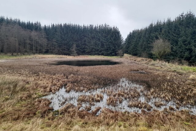
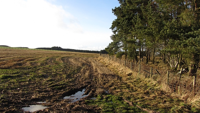
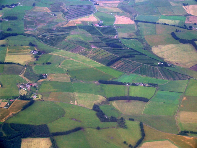
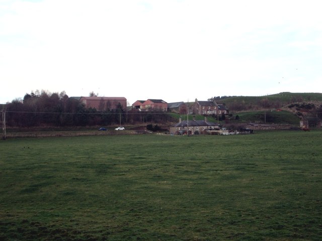
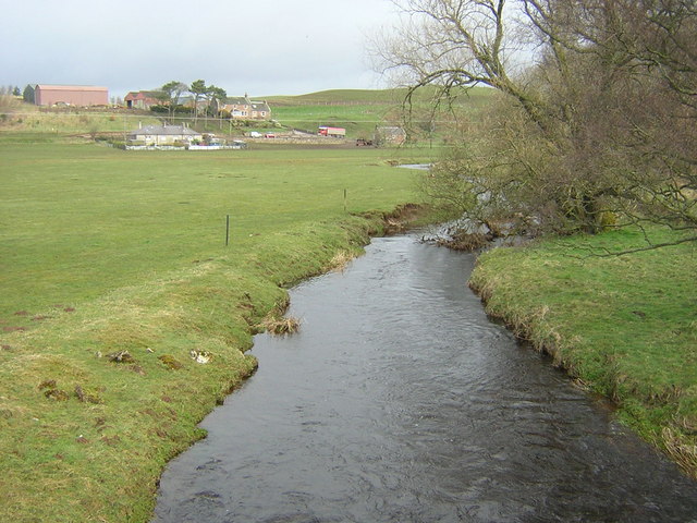
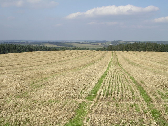
Millrig March Strip is a picturesque woodland located in Lanarkshire, Scotland. Covering an area of approximately 100 acres, this enchanting forest offers a serene and tranquil escape from the hustle and bustle of everyday life.

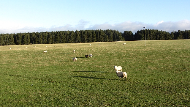
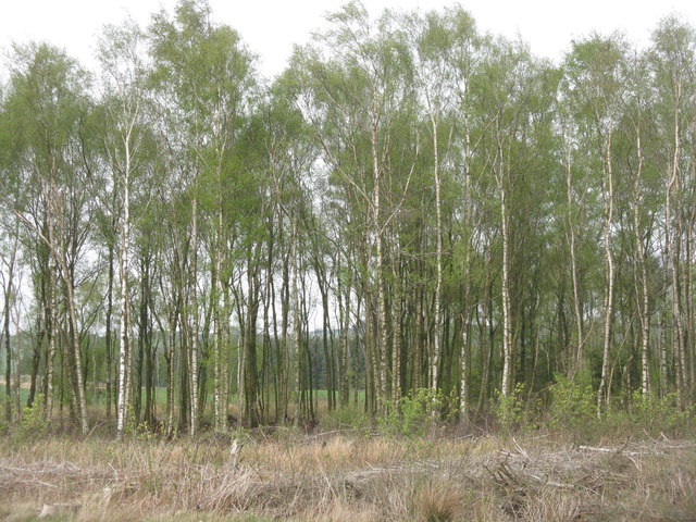
The woodland is predominantly composed of native Scottish trees, including oak, birch, and beech. These trees create a dense canopy, providing shade and shelter for a variety of wildlife species that call this forest their home. Visitors can expect to spot squirrels, deer, and an array of bird species as they wander through the woodland trails.

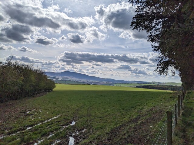
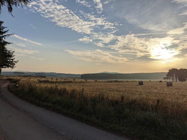
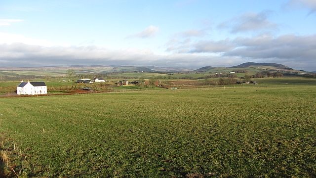
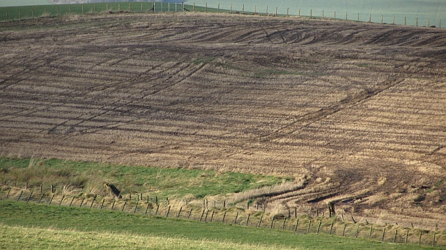
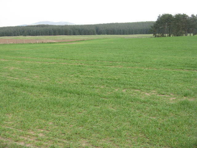
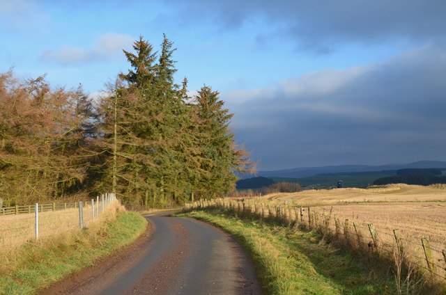
The Millrig March Strip is crisscrossed with well-maintained walking paths, making it an ideal destination for nature enthusiasts and hikers. These paths meander through the forest, taking visitors on a journey through a diverse range of landscapes, from open glades to winding streams and ancient woodlands.

One of the highlights of the Millrig March Strip is its impressive collection of wildflowers. During the spring and summer months, the forest floor comes alive with a riot of colors as bluebells, primroses, and wild garlic blanket the ground.

The woodland is also home to a small but picturesque waterfall, adding an extra touch of magic to the already enchanting atmosphere. The sound of cascading water adds to the sensory experience, creating a soothing and calming ambiance.

Overall, Millrig March Strip in Lanarkshire is a haven for nature lovers and those seeking solace in the beauty of the Scottish countryside. Its diverse flora and fauna, well-maintained trails, and tranquil ambiance make it a must-visit destination for anyone looking to reconnect with nature.

If you have any feedback on the listing, please let us know in the comments section below.

Millrig March Strip Images

Images are sourced within 2km of 55.669659/-3.565355 or Grid Reference NT0142. Thanks to Geograph Open Source API. All images are credited.

Pond near Libberton A small man made lochan in woodland near Libberton.
Pond near Libberton
A small man made lochan in woodland near Libberton.
Looking out over the fields from Arthurshiels Wood Looking out across the fields from the southern edge of Arthurshiels Wood (best accessed from the B7016). Tinto can be seen in the background too.
Looking out over the fields from Arthurshiels Wood
Looking out across the fields from the southern edge of Arthurshiels Wood (best accessed from the B7016). Tinto can be seen in the background too.
Harvested fields near Libberton Recently combined and baled fields off the road to Millridge Farm near Libberton.
Harvested fields near Libberton
Recently combined and baled fields off the road to Millridge Farm near Libberton.
Gladstone A grass field and long view past a new house towards Black Mount.
Gladstone
A grass field and long view past a new house towards Black Mount.
Woodland corner The end of a strip wood at Greenshields.
Woodland corner
The end of a strip wood at Greenshields.
Stubble, Gladstone
Stubble, Gladstone
Sheep near Gladstone Grassland with shelter belts.
Sheep near Gladstone
Grassland with shelter belts.
Cocklaw Hill from the air Viewed from an Edinburgh bound flight from Prague.
Cocklaw Hill from the air
Viewed from an Edinburgh bound flight from Prague.
Rose Cottage Few motorists speeding by on the B7016 Biggar to Carnwath road will notice this wee 19th-century dwelling, so completely is it screened by the surrounding vegetation.  Only a glimpse of the roofline, and chimneys old and new, peep above the hedge.  No roses are in evidence, but there is a fine display of rowan berries.
Rose Cottage
Few motorists speeding by on the B7016 Biggar to Carnwath road will notice this wee 19th-century dwelling, so completely is it screened by the surrounding vegetation. Only a glimpse of the roofline, and chimneys old and new, peep above the hedge. No roses are in evidence, but there is a fine display of rowan berries.
Wester Whitecastle Hardly even a hamlet, just a farm and a few houses along the B7106 Carnwath to Biggar road. On the right, almost completely camouflaged by trees and shrubs, is <a href="https://www.geograph.org.uk/photo/3627315">NT0142 : Rose Cottage</a>.
Wester Whitecastle
Hardly even a hamlet, just a farm and a few houses along the B7106 Carnwath to Biggar road. On the right, almost completely camouflaged by trees and shrubs, is NT0142 : Rose Cottage.
Conifer-lined B7016 While there are obvious economic advantages of forestry developments, I do feel that they are not scenically desirable. I remember when there were no trees beside the road and the views were extensive both to the left and right.
Conifer-lined B7016
While there are obvious economic advantages of forestry developments, I do feel that they are not scenically desirable. I remember when there were no trees beside the road and the views were extensive both to the left and right.
Newbigginghill Farm As viewed from the A721.
Newbigginghill Farm
As viewed from the A721.
Sunny afternoon close to Wester Whitecastle Farm Some freshly cut grass in a hay-field on Wester Whitecastle Farm.
Sunny afternoon close to Wester Whitecastle Farm
Some freshly cut grass in a hay-field on Wester Whitecastle Farm.
Birch trees near Millridge Farm A small patch of deciduous wood remains after the felling the conifers of Larch Know Wood
Birch trees near Millridge Farm
A small patch of deciduous wood remains after the felling the conifers of Larch Know Wood
Fields and forestry near Libberton A field of winter cereal and a large area of conifers.
Fields and forestry near Libberton
A field of winter cereal and a large area of conifers.
Minor road by Larch Knowe Wood A minor road to Millridge farm.
Minor road by Larch Knowe Wood
A minor road to Millridge farm.
View from Oggscastle Bridge View looking north from Oggscastle Bridge over the South Medwin
View from Oggscastle Bridge
View looking north from Oggscastle Bridge over the South Medwin
Stubble Field Looking north towards Harry's Well Wood
Stubble Field
Looking north towards Harry's Well Wood
Show me another place!

Millrig March Strip is located at Grid Ref: NT0142 (Lat: 55.669659, Lng: -3.565355)

Unitary Authority: South Lanarkshire

Police Authority: Lanarkshire

What 3 Words

///next.wiping.motivator. Near Carnwath, South Lanarkshire

Nearby Locations

Millrig March Strip

Related Wikis

Newbigging railway station

Newbigging railway station served the hamlet of Newbigging, South Lanarkshire, Scotland from 1867 to 1945 on the Dolphinton branch. == History == The station...

Libberton

Libberton is a village and historical parish in South Lanarkshire. The village is approximately 2 miles (3.2 km) north of Quothquan and 2.3 miles (3.68...

Shieldhill Castle

Shieldhill Castle is a category B listed building located near Biggar in South Lanarkshire. The building dates back to 1199 and is currently being run...

South Medwin River

South Medwin, sometimes spelled Medwyn, is a river in the Lanarkshire region of Scotland. Along with the confluence of the North Medwin River it forms...

Newbigging, South Lanarkshire

Newbigging (Scots: Neebicken) is a hamlet in South Lanarkshire, Scotland. It is near Dunsyre at the southern end of the Pentland Hills. It is on the A72...

Bankhead (Lanarkshire) railway station

Bankhead railway station served the isolated settlement of Bankhead, east of Carstairs Junction in South Lanarkshire, Scotland from 1867 to 1945 on the...

Quothquan

Quothquan (also formerly spelled Couth-Boan, meaning "the beautiful hill"; Scottish Gaelic: A’ Choitcheann, pronounced [ə ˈxɔʰtʲçən̪ˠ], meaning "the common...

North Medwyn River

North Medwyn is a river in the Lanarkshire region of Scotland. Along with the confluence of the South Medwyn River it forms the Medwyn water basin. The...

Have you been to Millrig March Strip?

Leave your review of Millrig March Strip below (or comments, questions and feedback).