Ramphlat Wood

Wood, Forest in Morayshire

Scotland

Ramphlat Wood

Altyre House and Lake From the bank beside the road. There are few gaps in the vegetation, making it difficult to photograph well.
Altyre House and Lake Credit: Anne Burgess

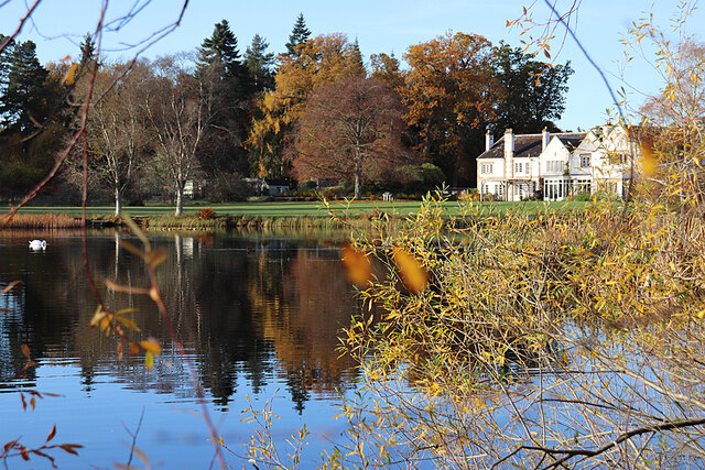
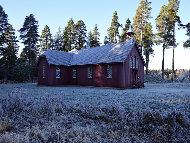
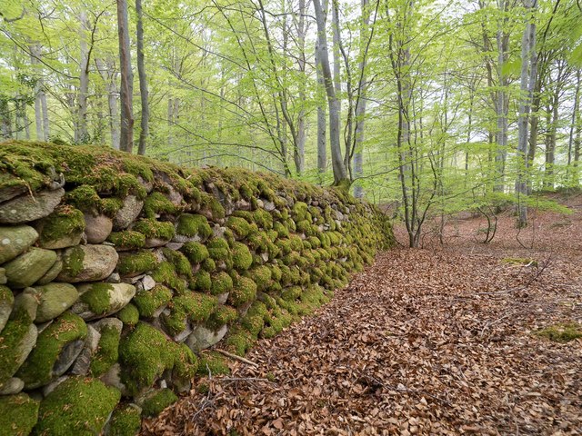
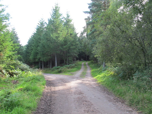
Ramphlat Wood is a picturesque forest located in Morayshire, Scotland. It spans an area of approximately 200 acres and is known for its diverse range of flora and fauna. The wood is predominantly composed of native Scottish trees such as oak, birch, and pine, which create a dense and enchanting canopy above.

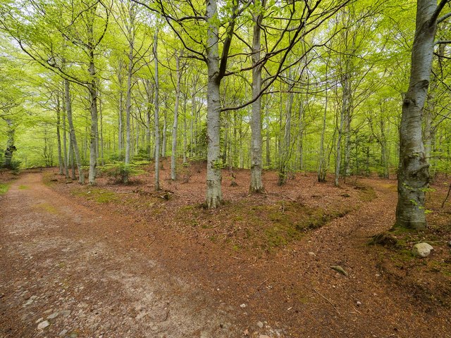
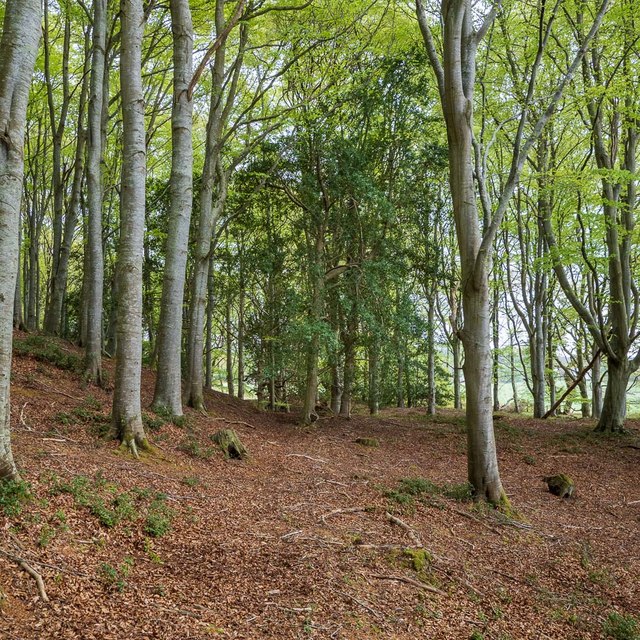
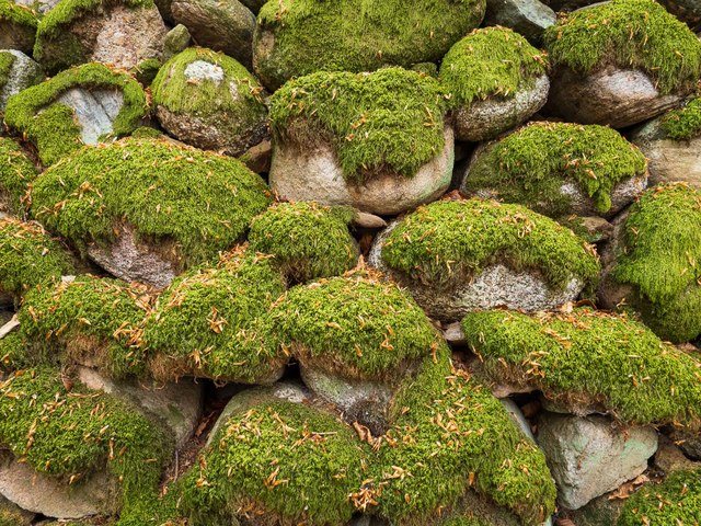
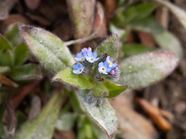
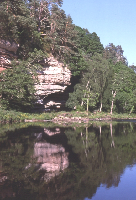
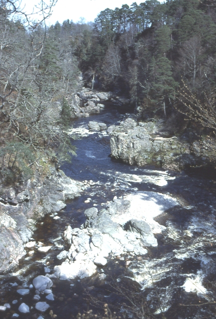
The forest floor is covered in a thick carpet of mosses, ferns, and wildflowers, adding to the natural beauty of the area. Ramphlat Wood is also intersected by a meandering stream, which adds to the tranquility and serenity of the environment.

The wood is home to a variety of wildlife, including red squirrels, roe deer, and numerous bird species. Birdwatchers can spot woodpeckers, owls, and various songbirds in the forest. The wood provides an excellent habitat for these creatures and is a popular destination for nature enthusiasts and photographers.

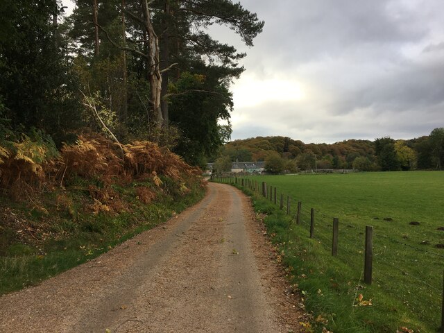
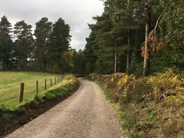
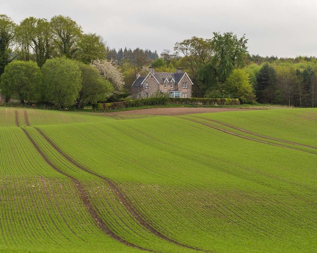
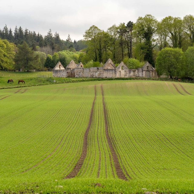
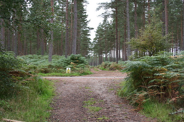
Ramphlat Wood offers several walking trails that meander through the forest, providing visitors with an opportunity to explore the natural wonders at their own pace. The trails are well-maintained and offer breathtaking views of the surrounding countryside.

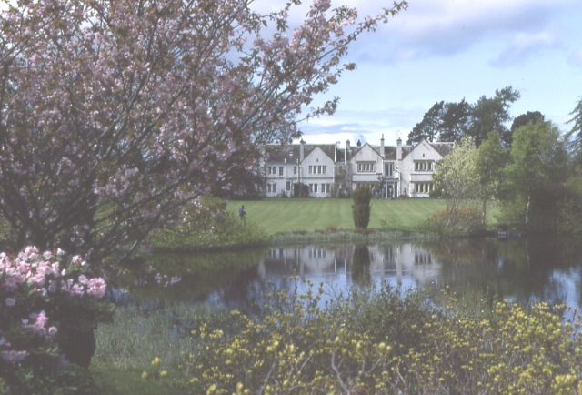
The wood is open to the public throughout the year, and visitors are encouraged to respect the natural environment by adhering to designated paths and taking their litter with them. Ramphlat Wood is a haven for those seeking solace in nature and an ideal destination for anyone looking to immerse themselves in the beauty of the Scottish countryside.

If you have any feedback on the listing, please let us know in the comments section below.

Ramphlat Wood Images

Images are sourced within 2km of 57.559921/-3.6456566 or Grid Reference NJ0153. Thanks to Geograph Open Source API. All images are credited.

Altyre House and Lake From the bank beside the road. There are few gaps in the vegetation, making it difficult to photograph well.
Altyre House and Lake
From the bank beside the road. There are few gaps in the vegetation, making it difficult to photograph well.
Sluie Cottage
Sluie Cottage
Road to Mains of Sluie
Road to Mains of Sluie This gravel road appears to have been recently regraded.
Road to Mains of Sluie
This gravel road appears to have been recently regraded.
Altyre Chapel A timber church, built circa 1900. It is part of the Scottish Episcopal Church, linked with St John's Church in Forres.

It is a Category C listed building. <span class="nowrap"><a title="https://portal.historicenvironment.scot/designation/LB15598" rel="nofollow ugc noopener" href="https://portal.historicenvironment.scot/designation/LB15598">Link</a><img style="margin-left:2px;" alt="External link" title="External link - shift click to open in new window" src="https://s1.geograph.org.uk/img/external.png" width="10" height="10"/></span>
Altyre Chapel
A timber church, built circa 1900. It is part of the Scottish Episcopal Church, linked with St John's Church in Forres. It is a Category C listed building. LinkExternal link
Darnaway Forest The path in the right of this image leads off the main track and provides a very pleasant walk through the beech and oak trees that form this part of the forest. The path is marked on the first edition OS 25" map of 1872
Darnaway Forest
The path in the right of this image leads off the main track and provides a very pleasant walk through the beech and oak trees that form this part of the forest. The path is marked on the first edition OS 25" map of 1872
Carving on a beech tree in Darnaway Forest Although most the carving on this beech tree trunk is illegible, the date 7.7.1942 is clear. The tree is on the edge of an old path unmarked path near the private burial ground in Darnaway Forest
Carving on a beech tree in Darnaway Forest
Although most the carving on this beech tree trunk is illegible, the date 7.7.1942 is clear. The tree is on the edge of an old path unmarked path near the private burial ground in Darnaway Forest
Path in Darnaway Forest Although marked on the Os maps, the path is rather vague in this part of the forest and is probably little used in recent times. There are some fine mature holly trees amongst the dominant beech trees.
Path in Darnaway Forest
Although marked on the Os maps, the path is rather vague in this part of the forest and is probably little used in recent times. There are some fine mature holly trees amongst the dominant beech trees.
Dry Stone Wall in Darnaway Forest An old dry stone wall covered in moss, probably part of the nearby Darnaway Castle policies
Dry Stone Wall in Darnaway Forest
An old dry stone wall covered in moss, probably part of the nearby Darnaway Castle policies
Dry Stone Wall in Darnaway Forest An old dry stone wall covered in moss, probably part of the nearby Darnaway Castle policies. The wall is not continuous and has either fallen down or become covered in vegetation along much of its length
Dry Stone Wall in Darnaway Forest
An old dry stone wall covered in moss, probably part of the nearby Darnaway Castle policies. The wall is not continuous and has either fallen down or become covered in vegetation along much of its length
Cooperhill Farmhouse
Remains of Cooperhill Farm Buildings
Wood Forget me-not A close up of the Wood Forget me-not on the field margin by Darnaway forest. A very small delicate flower only about 6mm
Wood Forget me-not
A close up of the Wood Forget me-not on the field margin by Darnaway forest. A very small delicate flower only about 6mm
Track Junction in Darnaway Forest
Altyre House The seat of the Gordon-Cumming family. The gardens are open to the public from time to time.
Altyre House
The seat of the Gordon-Cumming family. The gardens are open to the public from time to time.
River Findhorn A low sandstone cliff overhangs a quiet reach of  the River Findhorn.
River Findhorn
A low sandstone cliff overhangs a quiet reach of the River Findhorn.
Findhorn  Gorge For much of its course the Findhorn flows through a narrow rocky gorge.
Findhorn Gorge
For much of its course the Findhorn flows through a narrow rocky gorge.
Forestry track crossing the A940 south of Altyre House.
Show me another place!

Ramphlat Wood is located at Grid Ref: NJ0153 (Lat: 57.559921, Lng: -3.6456566)

Unitary Authority: Moray

Police Authority: North East

What 3 Words

///requiring.either.fantastic. Near Forres, Moray

Related Wikis

Darnaway Castle

Darnaway Castle, also known as Tarnaway Castle, is located in Darnaway Forest, 3 miles (4.8 km) southwest of Forres in Moray, Scotland. This was Comyn...

Dallas Dhu distillery

Dallas Dhu distillery was a producer of single malt Scotch whisky that operated between 1899 and 1983 in Forres, Moray, Scotland. Dallas Dhu means "Black...

Doune of Relugas

The Doune of Relugas is a hill fort located 9.25 kilometres (5.75 mi) south south west of Forres in Moray, Scotland. It is situated on a rocky knoll rising...

Rafford railway station

Rafford railway station at Rafford was opened with the Inverness and Perth Junction Railway in 1863. A full layout was provided (with a goods yard). The...

RAF Forres

Royal Air Force Forres or more simply RAF Forres is a former Royal Air Force satellite station located near Forres, Moray, Scotland. The station was controlled...

Randolph's Leap

Randolph's Leap is an SSSI and area of countryside in Moray, Scotland. The area surrounds the River Findhorn and is actually named after the point at the...

Balnageith

Balnageith, located on the western edge of the suburbs of Forres in Moray, Scotland, is the site of an excavated linear cropmark with a rounded corner...

Dalvey, Elgin

Dalvey is a place near to the town of Forres in Moray, Scotland. The name gave rise to the Baronets Grant of Dalvey, Elgin.

Nearby Amenities

Located within 500m of 57.559921,-3.6456566
The data included in this document is from www.openstreetmap.org. The data is made available under ODbL.

Have you been to Ramphlat Wood?

Leave your review of Ramphlat Wood below (or comments, questions and feedback).