Huntfield Strip
Wood, Forest in Lanarkshire
Scotland
Huntfield Strip
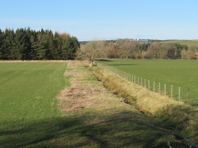
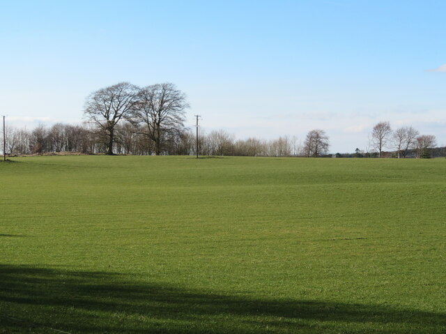
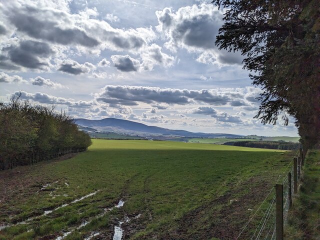
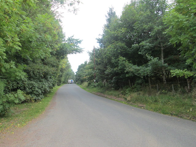
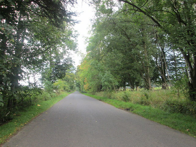
Huntfield Strip is a small but popular forested area located in Lanarkshire, Scotland. The forest is known for its dense woodland and variety of tree species, including oak, birch, and pine. The forest floor is covered in a thick carpet of moss and ferns, creating a lush and vibrant environment.
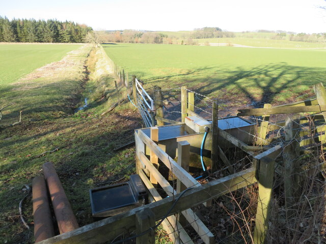
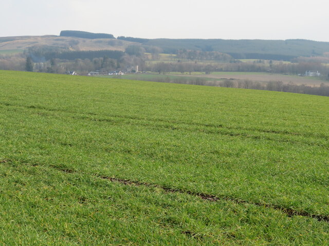
Huntfield Strip is a popular destination for outdoor enthusiasts, offering a range of activities such as hiking, mountain biking, and birdwatching. The forest is crisscrossed with a network of well-maintained trails that lead visitors through the wooded landscape and provide stunning views of the surrounding countryside.
Wildlife is abundant in Huntfield Strip, with sightings of deer, squirrels, and a variety of bird species common throughout the forest. The tranquil atmosphere of the forest makes it a perfect spot for nature lovers looking to escape the hustle and bustle of city life.
Overall, Huntfield Strip is a beautiful and peaceful forested area in Lanarkshire, offering visitors the chance to immerse themselves in nature and enjoy the great outdoors.
If you have any feedback on the listing, please let us know in the comments section below.
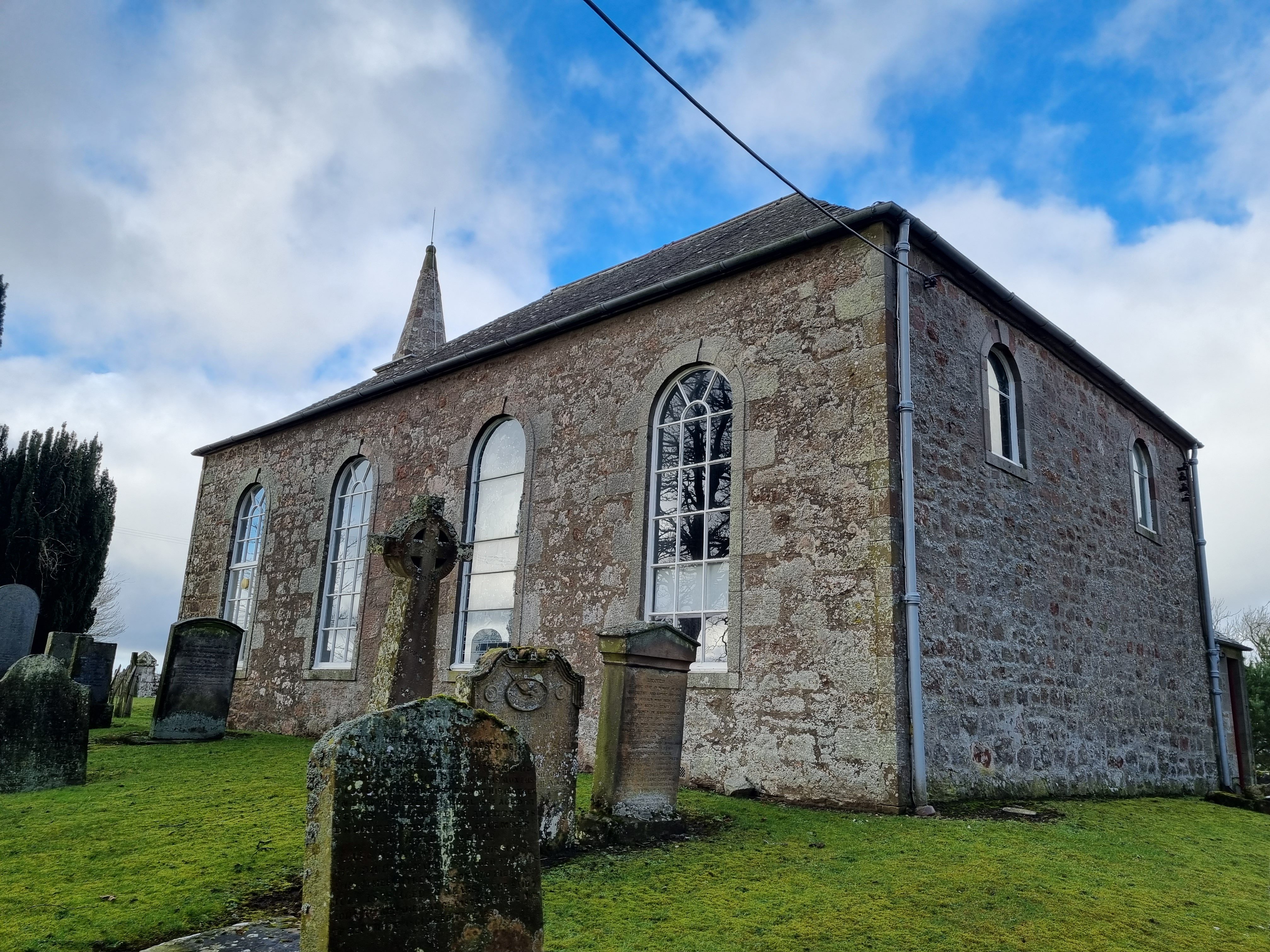
Huntfield Strip Images
Images are sourced within 2km of 55.651933/-3.567842 or Grid Reference NT0140. Thanks to Geograph Open Source API. All images are credited.


Huntfield Strip is located at Grid Ref: NT0140 (Lat: 55.651933, Lng: -3.567842)
Unitary Authority: South Lanarkshire
Police Authority: Lanarkshire
What 3 Words
///crunching.skip.knots. Near Biggar, South Lanarkshire
Nearby Locations
Related Wikis

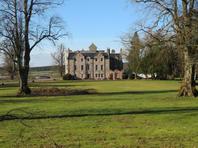
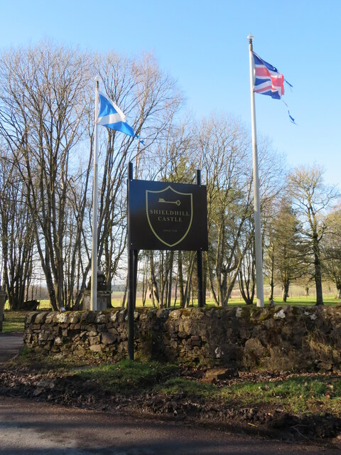
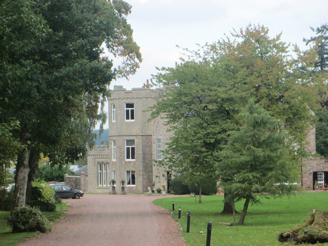
Shieldhill Castle
Shieldhill Castle is a category B listed building located near Biggar in South Lanarkshire. The building dates back to 1199 and is currently being run...

Quothquan
Quothquan (also formerly spelled Couth-Boan, meaning "the beautiful hill"; Scottish Gaelic: A’ Choitcheann, pronounced [ə ˈxɔʰtʲçən̪ˠ], meaning "the common...
Libberton
Libberton is a village and historical parish in South Lanarkshire. The village is approximately 2 miles (3.2 km) north of Quothquan and 2.3 miles (3.68...

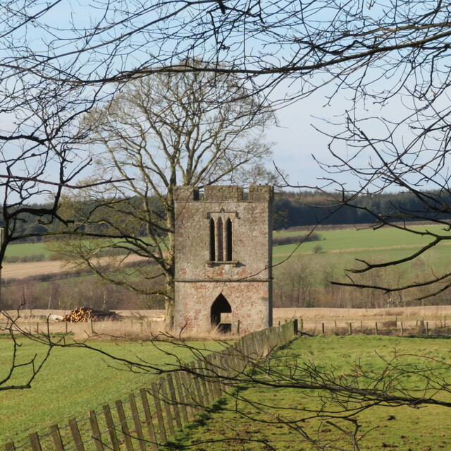
Biggar Castle
Biggar Castle was a 12th-century castle in Biggar, South Lanarkshire, Scotland. It appears to have been abandoned by the 14th century. == History == The...
Nearby Amenities
Located within 500m of 55.651933,-3.567842Have you been to Huntfield Strip?
Leave your review of Huntfield Strip below (or comments, questions and feedback).