Kincroth Wood
Wood, Forest in Morayshire
Scotland
Kincroth Wood

Kincroth Wood is a picturesque woodland located in Morayshire, a region in the northeast of Scotland. Covering an area of approximately 50 hectares, the wood is a haven for nature enthusiasts and provides a tranquil escape from the bustling towns nearby.
The wood is predominantly composed of native broadleaf species, including oak, birch, and hazel, which create a diverse and vibrant ecosystem. These trees form a dense canopy overhead, allowing only dappled sunlight to filter through to the forest floor. This creates a cool and shaded environment, ideal for a variety of flora and fauna to thrive.
Visitors to Kincroth Wood can explore the network of well-maintained footpaths that wind through the woodland. These paths meander alongside babbling streams, offering peaceful spots for contemplation or picnics. The wood is also home to a wide array of wildlife, including red squirrels, roe deer, and numerous species of birds.
In addition to its natural beauty, Kincroth Wood also has historical significance. The wood is believed to have been part of an ancient royal hunting ground, with remnants of old hunting lodges and stone structures still visible today.
The wood is managed by a local conservation group, ensuring the preservation of its natural habitats and wildlife. Regular maintenance activities, such as tree planting and invasive species control, are carried out to maintain the health and diversity of the woodland.
Overall, Kincroth Wood offers visitors a peaceful retreat, where they can immerse themselves in the beauty of nature and experience the rich history of Morayshire.
If you have any feedback on the listing, please let us know in the comments section below.
Kincroth Wood Images
Images are sourced within 2km of 57.631879/-3.6528303 or Grid Reference NJ0161. Thanks to Geograph Open Source API. All images are credited.


Kincroth Wood is located at Grid Ref: NJ0161 (Lat: 57.631879, Lng: -3.6528303)
Unitary Authority: Moray
Police Authority: North East
What 3 Words
///tonsils.feasts.explained. Near Forres, Moray
Nearby Locations
Related Wikis

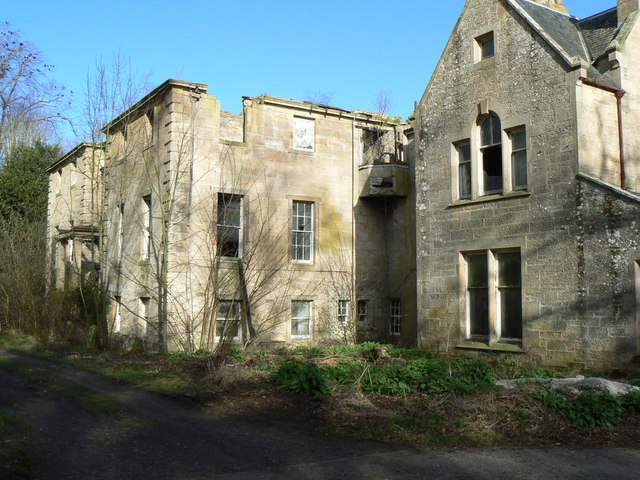
Kincorth House
Kincorth House is a Category B listed 18th-century manor house, near Forres, Moray, in Scotland. == History == The Murray of Culbin family held the lands...
Kintessack
Kintessack is a locality and village in the parish of Dyke and Moy, 3 miles (4.8 km) northwest of Forres in Moray, Scotland. == History == The Murray of...
Moy House, Moray
Moy House is an 18th-century country house near Forres in Moray, Scotland. Built on the site of an older house by Collen Williamson and John Adam in the...
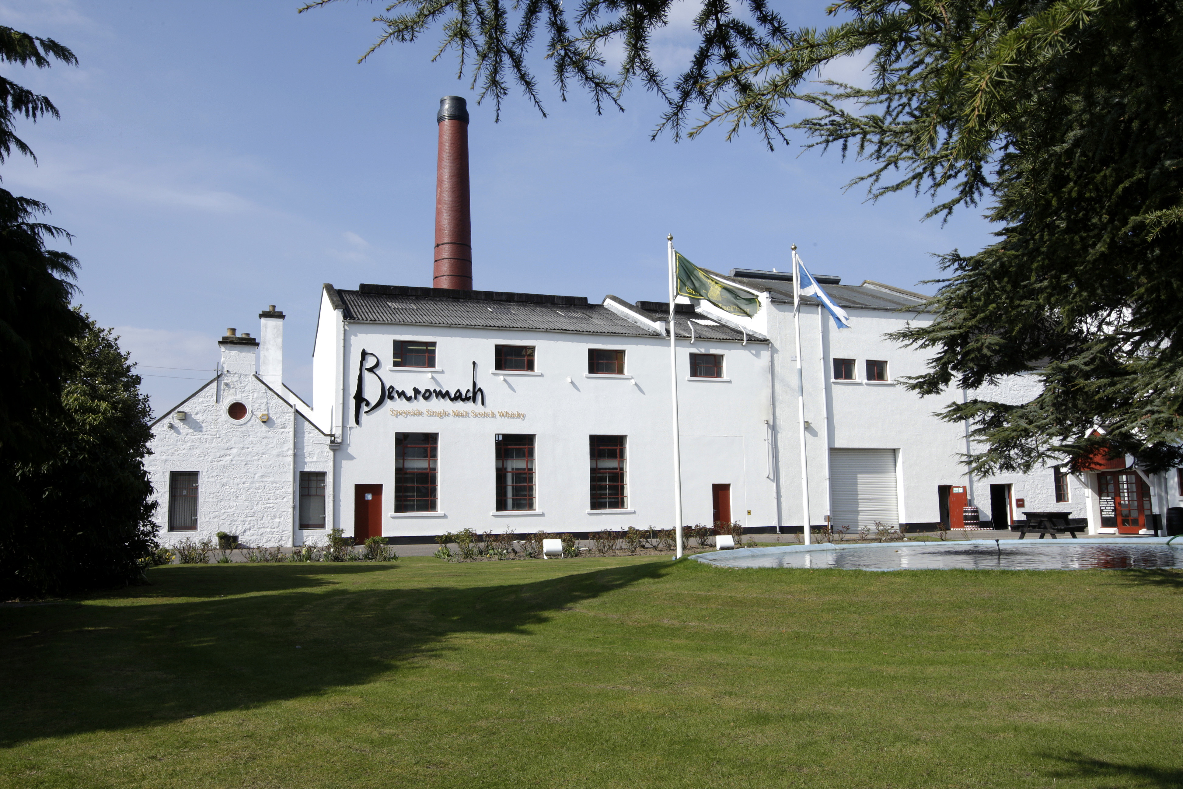
Benromach distillery
Benromach distillery is a Speyside distillery founded by Duncan McCallum and F.W. Brickman in 1898 and currently owned and run by Gordon and Macphail of...
Nearby Amenities
Located within 500m of 57.631879,-3.6528303Have you been to Kincroth Wood?
Leave your review of Kincroth Wood below (or comments, questions and feedback).