Redford Strip

Wood, Forest in Lanarkshire

Scotland

Redford Strip

By Corse Law Forest The A70 on the edge of Corse Law Forest, looking in the Edinburgh direction.
By Corse Law Forest Credit: Mary and Angus Hogg

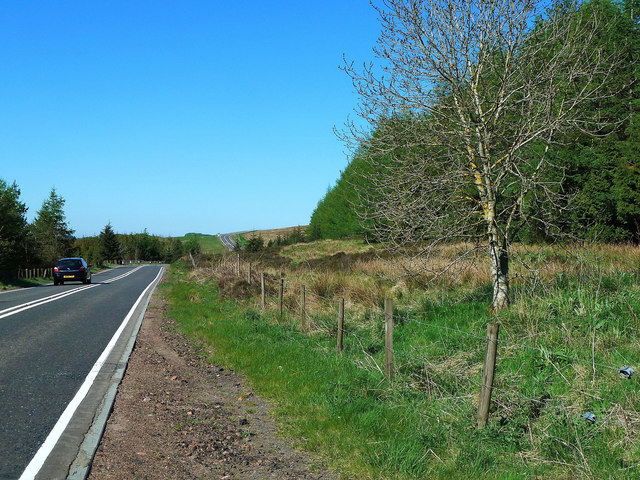
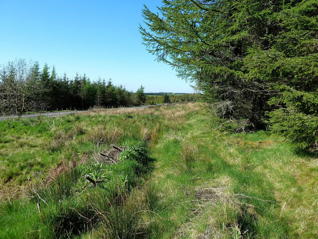
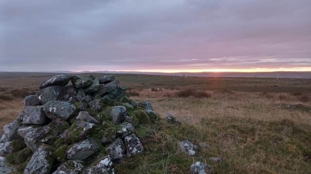
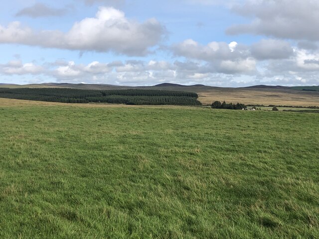
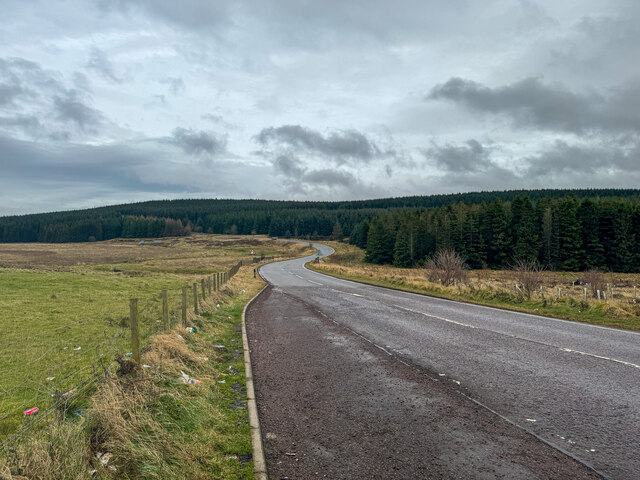
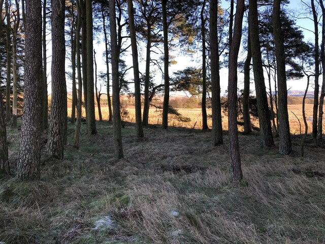
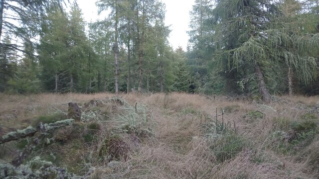
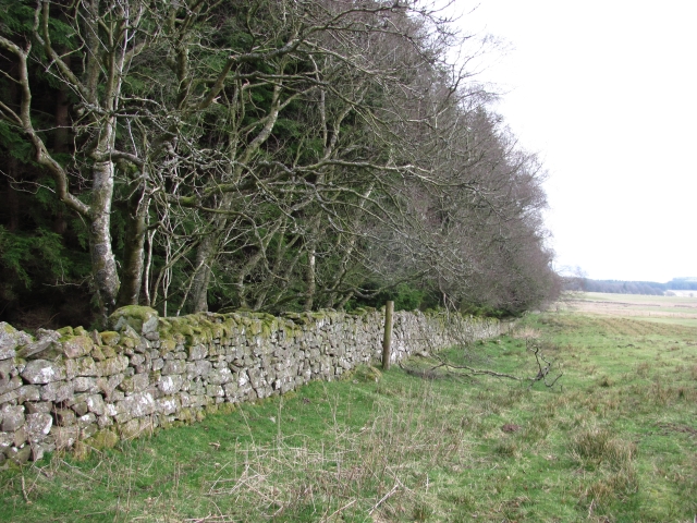
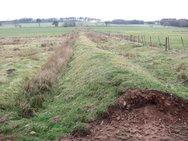
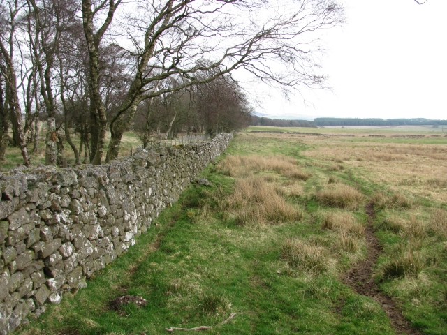
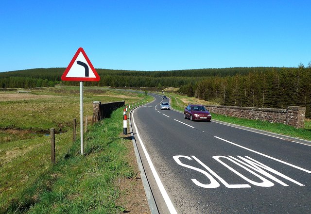
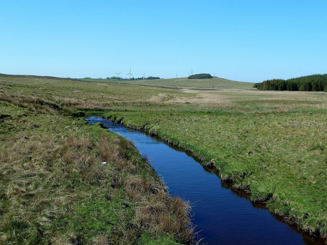
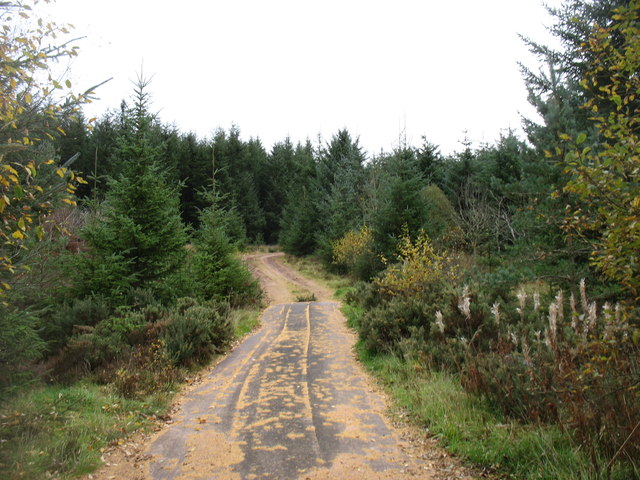
Redford Strip is a small wooded area located in Lanarkshire, Scotland. This forested area is known for its dense vegetation and towering trees, creating a lush and vibrant ecosystem. The Redford Strip is popular among nature enthusiasts and hikers, who often visit to explore the winding paths and scenic views.

The forest is home to a variety of wildlife, including birds, squirrels, and deer, making it a great spot for birdwatching and wildlife photography. The diverse flora and fauna in Redford Strip add to its natural beauty and charm.

Visitors to Redford Strip can enjoy a peaceful and serene environment, away from the hustle and bustle of city life. The forest offers a tranquil retreat for those looking to escape the stresses of everyday life and reconnect with nature.

Overall, Redford Strip in Lanarkshire is a picturesque and enchanting woodland area that provides a peaceful escape for visitors seeking to immerse themselves in the beauty of the natural world.

If you have any feedback on the listing, please let us know in the comments section below.

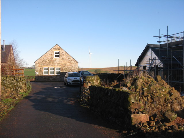
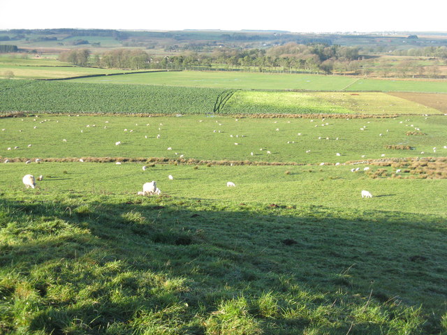
Redford Strip Images

Images are sourced within 2km of 55.729117/-3.571301 or Grid Reference NT0149. Thanks to Geograph Open Source API. All images are credited.

By Corse Law Forest The A70 on the edge of Corse Law Forest, looking in the Edinburgh direction.
By Corse Law Forest
The A70 on the edge of Corse Law Forest, looking in the Edinburgh direction.
Corse Law Forest Edge This forest lies alongside the Lang Whang between Carnwath and Edinburgh.
Corse Law Forest Edge
This forest lies alongside the Lang Whang between Carnwath and Edinburgh.
Hare Law Cairn This cairn is built within a far larger ruined one from way back in time. According to Canmore - Scotland's public archaeological service - it is a prehistoric burial cairn, and measures about 20 metres in diameter.
A raised curving  bank can clearly be seen to the East of the summit, but elsewhere the circle is a bit sketchy. There are quite a few 'rickles' around - this word, which I had never heard before, is used in a 1940s surveying report, and means 'a loosely piled heap'. Canmore also mention another report which states that in the early 19th Century human bones of 'an unusual size' were recovered from the cairn. Maybe giants once roamed these hills.
Hare Law Cairn
This cairn is built within a far larger ruined one from way back in time. According to Canmore - Scotland's public archaeological service - it is a prehistoric burial cairn, and measures about 20 metres in diameter. A raised curving bank can clearly be seen to the East of the summit, but elsewhere the circle is a bit sketchy. There are quite a few 'rickles' around - this word, which I had never heard before, is used in a 1940s surveying report, and means 'a loosely piled heap'. Canmore also mention another report which states that in the early 19th Century human bones of 'an unusual size' were recovered from the cairn. Maybe giants once roamed these hills.
Sunset over Hare Law I've no idea if some of the detail in these pictures gets lost once they go online, but if it doesn't, zooming in on the sky should show a few flocks of birds which ultimately all headed Northeast.
I had always thought that it was only flocks of starlings that were called 'murmurations' but it seems that a murmuration can refer to any old flock of birds - it's just that starlings do it in bigger numbers than other birds, and the National Geographic say that up to three-quarters of a million have been spotted in a single flock.
Why birds regularly gather together in such numbers before heading off to roost for the night is unclear. It is often stated that it helps them keep warm and that flying in a big group puts off predators. This may well be the case but doesn't really explain why they don't do it throughout the day.
I have no idea whether these were starlings or not!
Sunset over Hare Law
I've no idea if some of the detail in these pictures gets lost once they go online, but if it doesn't, zooming in on the sky should show a few flocks of birds which ultimately all headed Northeast. I had always thought that it was only flocks of starlings that were called 'murmurations' but it seems that a murmuration can refer to any old flock of birds - it's just that starlings do it in bigger numbers than other birds, and the National Geographic say that up to three-quarters of a million have been spotted in a single flock. Why birds regularly gather together in such numbers before heading off to roost for the night is unclear. It is often stated that it helps them keep warm and that flying in a big group puts off predators. This may well be the case but doesn't really explain why they don't do it throughout the day. I have no idea whether these were starlings or not!
Summit, Calla Hill View towards the Pentland Hills.
Summit, Calla Hill
View towards the Pentland Hills.
Layby on the A70 Geocaching is a type of global treasure hunt of people looking for caches, or hidden stashes of objects. Geocaching may also be described as a series of hide-and-seek games, where hiders provide online clues for seekers. Seekers use global positioning system (GPS) devices to find hidden caches
Layby on the A70
Geocaching is a type of global treasure hunt of people looking for caches, or hidden stashes of objects. Geocaching may also be described as a series of hide-and-seek games, where hiders provide online clues for seekers. Seekers use global positioning system (GPS) devices to find hidden caches
Field off the Lang Whang Tractor tyre prints in frosted grass and mud near Kersewell Mains.
Field off the Lang Whang
Tractor tyre prints in frosted grass and mud near Kersewell Mains.
Stripwood beside the A70
Corse Law The top of this unremarkable hill is 10 to 20 yards ahead, a bit further East than the OS map indicates. The summit is currently a big clump of moss on top of a little bump. This, of course, is probably just a result of the tree cultivation here, but the original summit must have been very close by.
The OS naming books - produced in conjunction with their first maps of an area, mainly to sort out agreed spellings for things - states that it is, "A medium sized hill covered with heath, and forming one of the range of the Pentland Hills (3rd Class)". I'm not sure if this means it is a third class hill, or that is part of a third class section of the Pentlands (this is towards the very end of the relatively low-lying Southern section)!
Corse Law
The top of this unremarkable hill is 10 to 20 yards ahead, a bit further East than the OS map indicates. The summit is currently a big clump of moss on top of a little bump. This, of course, is probably just a result of the tree cultivation here, but the original summit must have been very close by. The OS naming books - produced in conjunction with their first maps of an area, mainly to sort out agreed spellings for things - states that it is, "A medium sized hill covered with heath, and forming one of the range of the Pentland Hills (3rd Class)". I'm not sure if this means it is a third class hill, or that is part of a third class section of the Pentlands (this is towards the very end of the relatively low-lying Southern section)!
Backmoor Wood Edge of woodland at the southern end of the Pentland Hills.
Backmoor Wood
Edge of woodland at the southern end of the Pentland Hills.
Old field boundary A long straight earthbank which may once have carried a hedge.
Old field boundary
A long straight earthbank which may once have carried a hedge.
Backmoor Wood The wood continues towards the North Medwin water as a strip wood. Beyond the trees is a vast area of rough grazing.
Backmoor Wood
The wood continues towards the North Medwin water as a strip wood. Beyond the trees is a vast area of rough grazing.
A Bench-Marked Bridge Redford Bridge carries the A70 across the North Medwin burn.  The bench-mark plate is numbered S8937.
A Bench-Marked Bridge
Redford Bridge carries the A70 across the North Medwin burn. The bench-mark plate is numbered S8937.
The North Medwin The North Medwin burn, viewed from Redford Bridge.
The North Medwin
The North Medwin burn, viewed from Redford Bridge.
Track into the forest Leading to Corse Law, 297m, a rather minor eminence.
Track into the forest
Leading to Corse Law, 297m, a rather minor eminence.
East Yardhouses What looks as if it might have been the original farmhouse getting a makeover.
East Yardhouses
What looks as if it might have been the original farmhouse getting a makeover.
The end of the road at East Yardhouses
Falla Burn valley Arable land and pasture in the valley, looking northwest from the road to Wester Yardhouses.
Falla Burn valley
Arable land and pasture in the valley, looking northwest from the road to Wester Yardhouses.
Show me another place!

Redford Strip is located at Grid Ref: NT0149 (Lat: 55.729117, Lng: -3.571301)

Unitary Authority: South Lanarkshire

Police Authority: Lanarkshire

What 3 Words

///fabricate.ever.staples. Near Carnwath, South Lanarkshire

Nearby Locations

Redford Strip Hill Wood

Related Wikis

Ampherlaw House

Ampherlaw House is a manor house in Lanarkshire, Scotland, near the village of Carnwath and one of the former possessions of the Somerville family. It...

North Medwyn River

North Medwyn is a river in the Lanarkshire region of Scotland. Along with the confluence of the South Medwyn River it forms the Medwyn water basin. The...

Newbigging, South Lanarkshire

Newbigging (Scots: Neebicken) is a hamlet in South Lanarkshire, Scotland. It is near Dunsyre at the southern end of the Pentland Hills. It is on the A72...

Little Sparta

Little Sparta is a garden at Dunsyre in the Pentland Hills in South Lanarkshire, Scotland, created by artist and poet Ian Hamilton Finlay and his wife...

Nearby Amenities

Located within 500m of 55.729117,-3.571301
Power: pole
Lat/Long: 55.7263926/-3.5767537
Power: pole
Lat/Long: 55.7269692/-3.5760305
Power: pole
Lat/Long: 55.7269858/-3.5746955
The data included in this document is from www.openstreetmap.org. The data is made available under ODbL.

Have you been to Redford Strip?

Leave your review of Redford Strip below (or comments, questions and feedback).