Castell
Settlement in Denbighshire
Wales
Castell
The requested URL returned error: 429 Too Many Requests
If you have any feedback on the listing, please let us know in the comments section below.
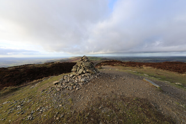
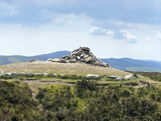
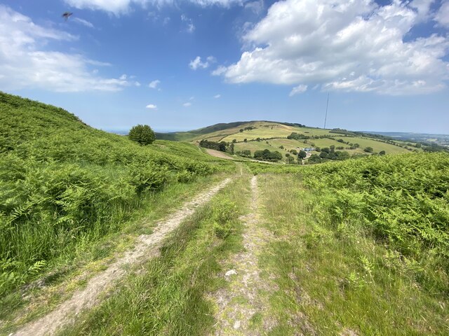
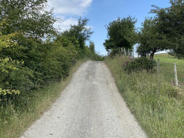
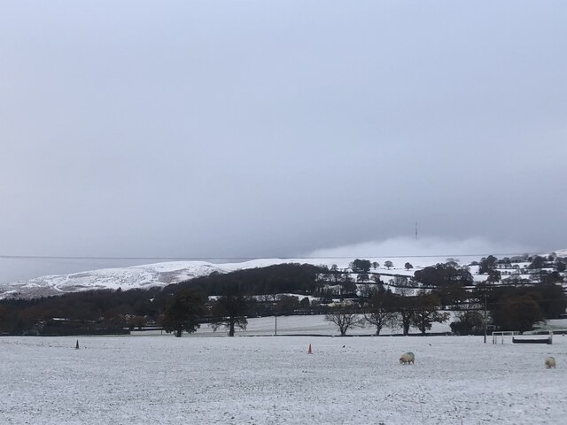
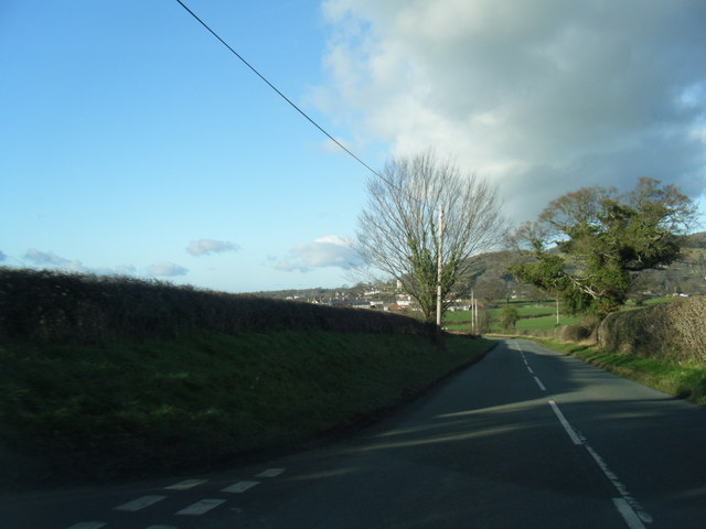
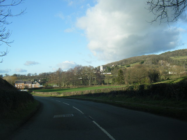
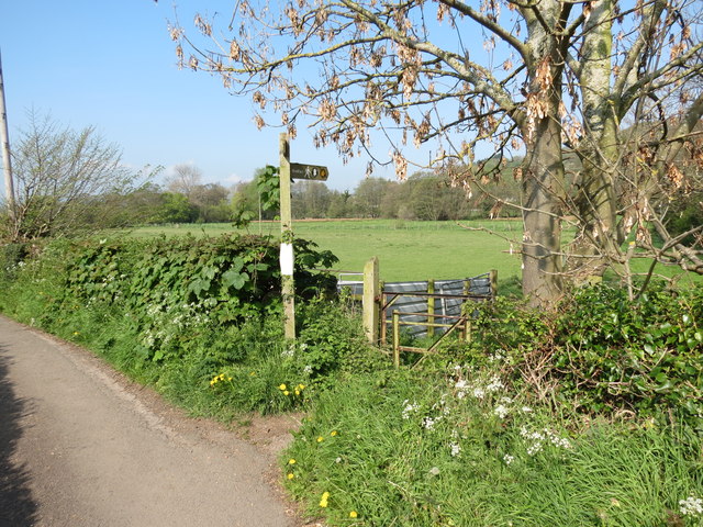
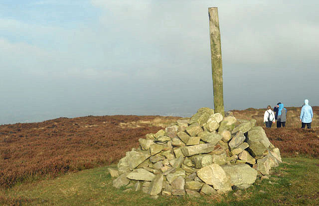
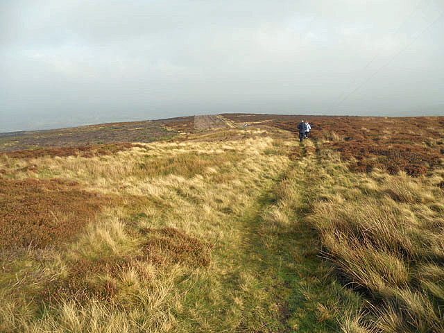
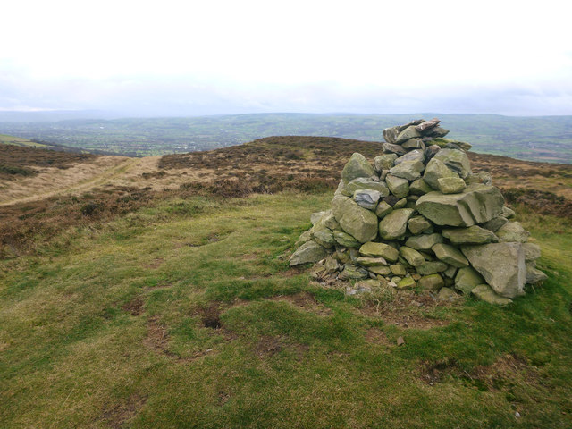
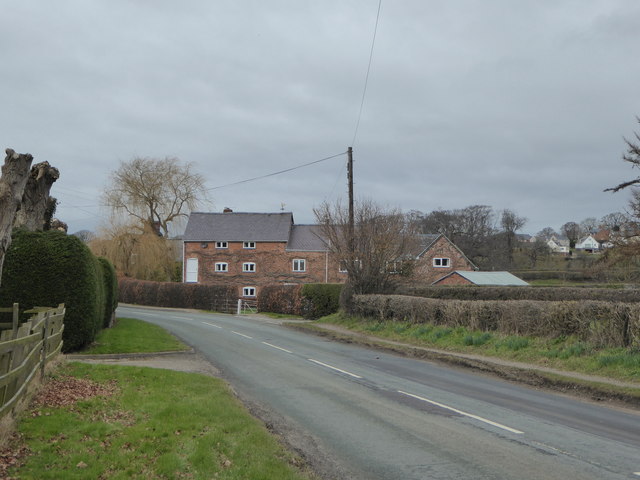
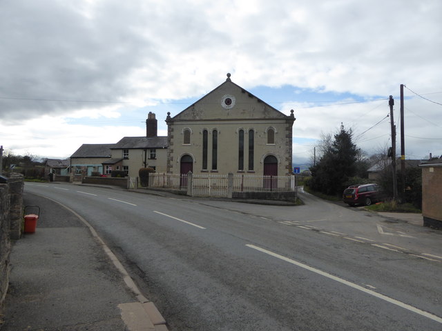
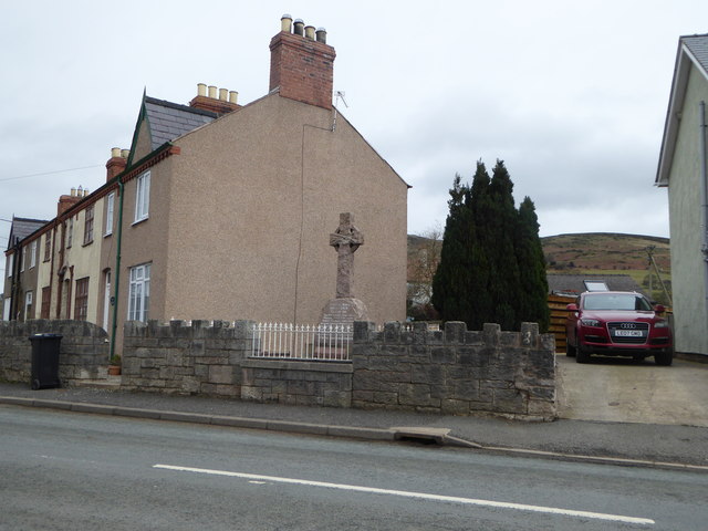
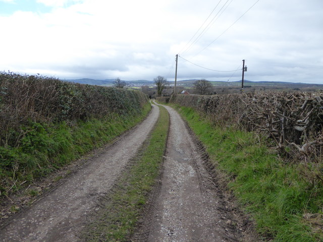
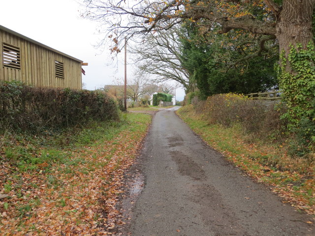
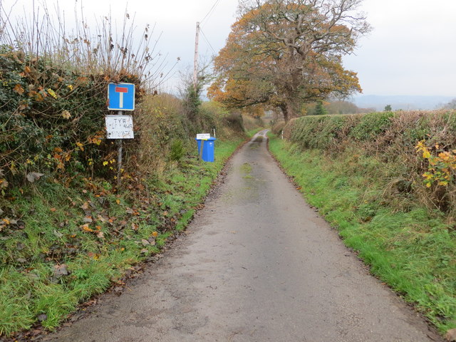
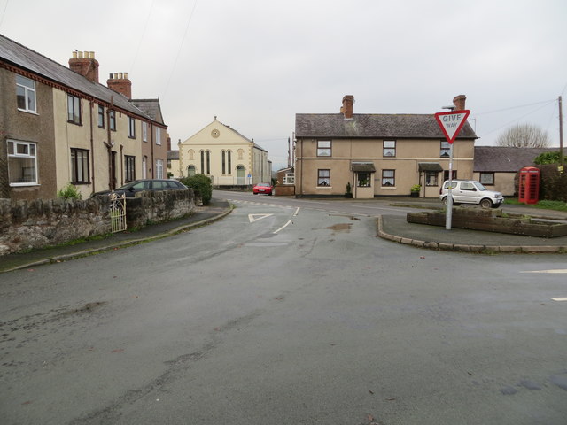
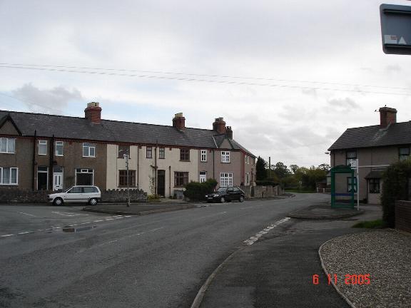
Castell Images
Images are sourced within 2km of 53.207557/-3.3322876 or Grid Reference SJ1168. Thanks to Geograph Open Source API. All images are credited.
Castell is located at Grid Ref: SJ1168 (Lat: 53.207557, Lng: -3.3322876)
Unitary Authority: Denbighshire
Police Authority: North Wales
What 3 Words
///example.madness.stance. Near Denbigh, Denbighshire
Nearby Locations
Related Wikis

Aled Rural District
Aled was a rural district in the administrative county of Denbighshire, Wales, from 1935 to 1974. The district was created by a county review order in...
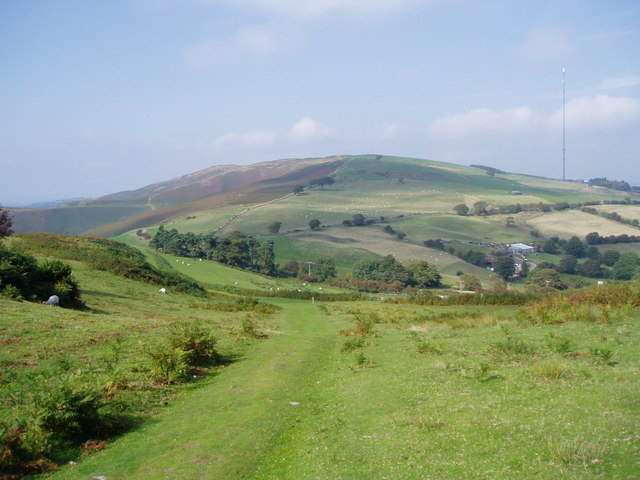
Moel y Parc
Moel y Parc (sometimes written as Moel-y-Parc) is a hill on the border between Denbighshire and Flintshire in Wales. It is one of the Clwydian Hills, rising...
Aberwheeler
Aberwheeler (Welsh: Aberchwiler) is a village and community in the Welsh county of Denbighshire, located on the south bank of the River Wheeler (Welsh...

Penycloddiau
Penycloddiau is a hill in Flintshire, Wales, and one of five Marilyns in the Clwydian Range. The hill, like Foel Fenlli and Moel Arthur to the south,...
Nearby Amenities
Located within 500m of 53.207557,-3.3322876Have you been to Castell?
Leave your review of Castell below (or comments, questions and feedback).