Castallack

Settlement in Cornwall

England

Castallack

Mousehole Harbour from the sea Harbour view from above the anchorage
Mousehole Harbour from the sea Credit: David Bagshaw

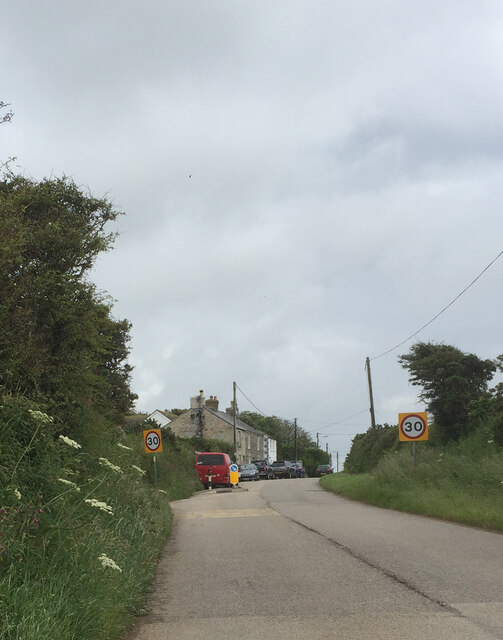
Castallack is a small village located in the far west of Cornwall, England. Situated approximately 4 miles southeast of Penzance, it lies within the civil parish of Perranuthnoe. Known for its picturesque countryside and peaceful atmosphere, Castallack offers a tranquil escape from the bustling city life.

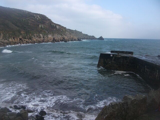
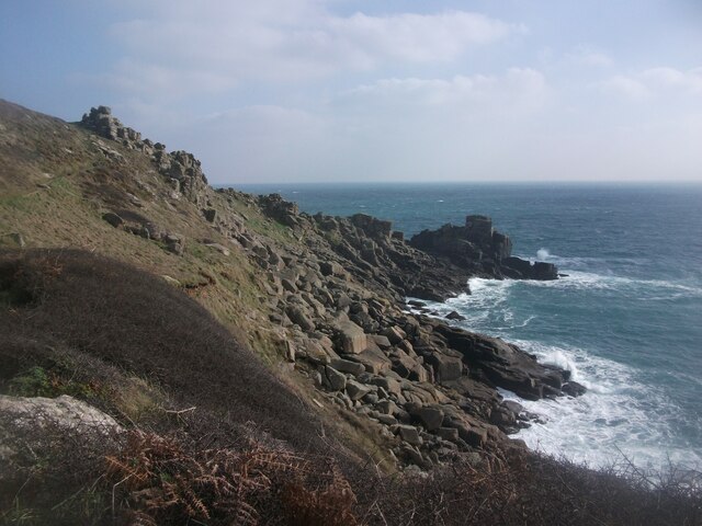
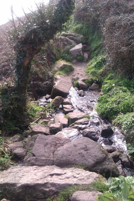
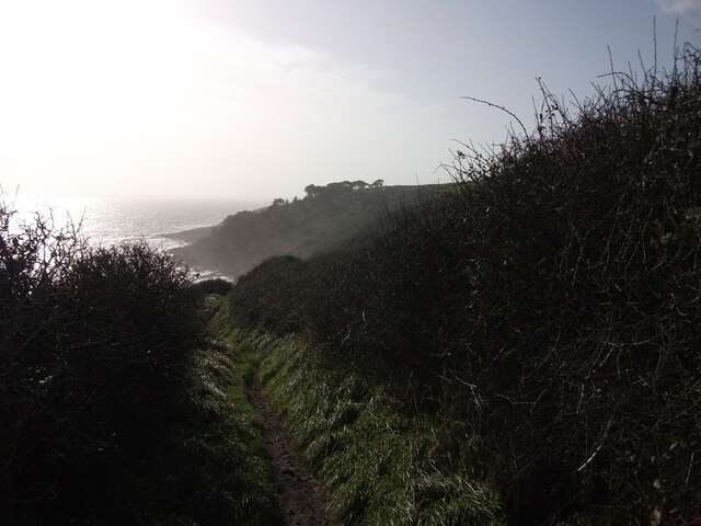
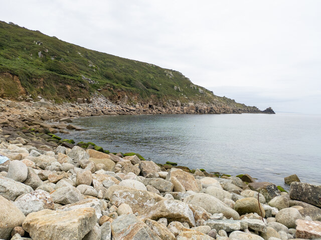
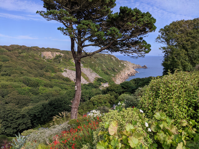
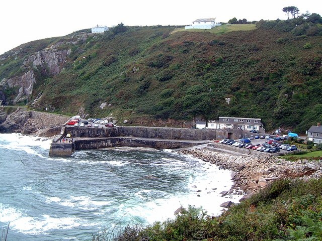
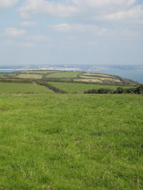
The village is characterized by its charming rural landscape, with rolling hills, lush green fields, and scattered farmhouses. It is surrounded by several notable landmarks, including the iconic St. Michael's Mount, which can be seen in the distance. The nearby coast boasts stunning cliffs and beautiful sandy beaches, making it a popular destination for nature lovers and outdoor enthusiasts.

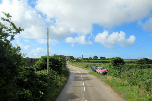
Castallack is home to a close-knit community, with a small population of residents. The village lacks many amenities, with no shops or pubs within its boundaries. However, it benefits from its proximity to nearby towns, such as Penzance, which provide all the necessary services and facilities.

The area surrounding Castallack offers plenty of opportunities for outdoor activities, including hiking, cycling, and birdwatching. The South West Coast Path, a renowned long-distance trail, passes through the village, offering breathtaking views of the coastline.

Overall, Castallack is a secluded and idyllic village that appeals to those seeking a peaceful and rural lifestyle. Its natural beauty and proximity to both countryside and coast make it an attractive destination for visitors and residents alike.

If you have any feedback on the listing, please let us know in the comments section below.
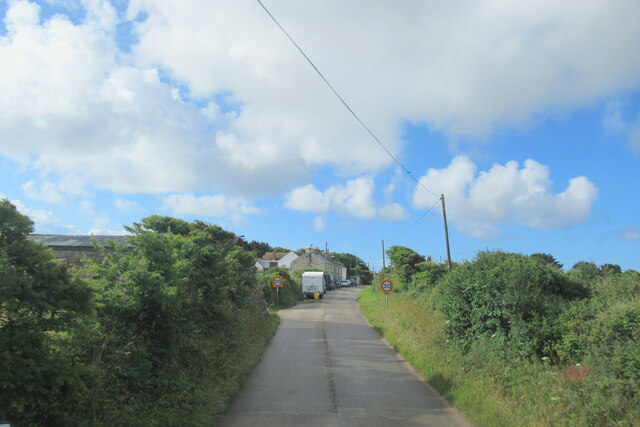
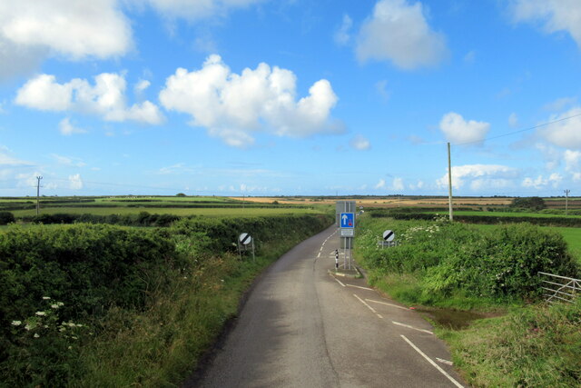
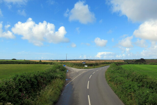
Castallack Images

Images are sourced within 2km of 50.072587/-5.561733 or Grid Reference SW4525. Thanks to Geograph Open Source API. All images are credited.

Mousehole Harbour from the sea Harbour view from above the anchorage
Mousehole Harbour from the sea
Harbour view from above the anchorage
Lamorna Cove Lamorna Cove viewed from the carpark above the slipway.
Lamorna Cove
Lamorna Cove viewed from the carpark above the slipway.
SW Coast Path between Lamorna and Mousehole A view east along the coast on the South West Coast Path between Mousehole and Lamorna.
SW Coast Path between Lamorna and Mousehole
A view east along the coast on the South West Coast Path between Mousehole and Lamorna.
Stream Crossing on the South West Coast Path A stream crossing on the South West Coast Path between Mousehole and Lamorna.
Stream Crossing on the South West Coast Path
A stream crossing on the South West Coast Path between Mousehole and Lamorna.
Boats in Mousehole Harbour Boats drawn up on the southern car park in Mousehole Harbour for the winter.
Boats in Mousehole Harbour
Boats drawn up on the southern car park in Mousehole Harbour for the winter.
Storm at Mousehole Storm sea breaking over the southern pier of Mousehole Harbour.
Photograph taken from steps up to Gurnick Street.
Storm at Mousehole
Storm sea breaking over the southern pier of Mousehole Harbour. Photograph taken from steps up to Gurnick Street.
Street in Paul
Street in Paul
Mousehole Harbour from North Cliff The old fishing port of Mousehole which nowadays is a tourist hotspot in this part of Cornwall.
Mousehole Harbour from North Cliff
The old fishing port of Mousehole which nowadays is a tourist hotspot in this part of Cornwall.
Looking down to the sea from the South West Coastal Path, east of Castallack
South Quay in Mousehole View over the South Quay and out to St. Clement's Isle from Gurnick Street in Mousehole.
South Quay in Mousehole
View over the South Quay and out to St. Clement's Isle from Gurnick Street in Mousehole.
Alley off Gurnick Street in Mousehole Looking down an alley over Gurnick Street and onto the South Quay in Mousehole.
Alley off Gurnick Street in Mousehole
Looking down an alley over Gurnick Street and onto the South Quay in Mousehole.
Kemyel from the SW Coast Path Looking south west along the coastal path between Mousehole and Lamorna towards Kemyel.
Kemyel from the SW Coast Path
Looking south west along the coastal path between Mousehole and Lamorna towards Kemyel.
Lamorna Cove
Lamorna Cove
View through garden south east from entrance to Chygurno Gardens
The B3315 approaching Sheffield
The B3315 at Sheffield
The B3315 leaving Sheffield
The B3315 at turning for Raginnis
Show me another place!

Castallack is located at Grid Ref: SW4525 (Lat: 50.072587, Lng: -5.561733)

Unitary Authority: Cornwall

Police Authority: Devon and Cornwall

What 3 Words

///showrooms.cloth.stuff. Near St Buryan, Cornwall

Nearby Locations

Castallack Castallack Moor

Related Wikis

Castallack

Castallack is a hamlet in the civil parish of St Buryan, Lamorna and Paul in west Cornwall, England, UK. It is on a minor road between Sheffied and Lamorna...
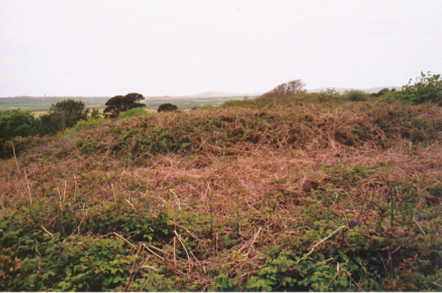
Castallack Round

Castallack Round or Roundago is a prehistoric site near Castallack in Cornwall, England. It is a scheduled monument.A "round" is a small circular embanked...

Lamorna

Lamorna (Cornish: Nansmornow) is a village, valley and cove in west Cornwall, England, UK. It is on the Penwith peninsula approximately 4 miles (6 km)...

Raginnis

Raginnis is a hamlet near Mousehole in west Cornwall, England, United Kingdom. == References ==

Nearby Amenities

Located within 500m of 50.072587,-5.561733
Castallack
Name Kw: Kastellek
Place: hamlet
Source: OS_OpenData_StreetView
Wikidata: Q5049589
Lat/Long: 50.0728368/-5.5625348
Power: pole
Transformer: distribution
Lat/Long: 50.0741401/-5.5555911
Power: pole
Lat/Long: 50.0736004/-5.5581647
Power: pole
Lat/Long: 50.0734472/-5.559141
Power: pole
Lat/Long: 50.0730805/-5.5601549
Power: pole
Lat/Long: 50.0707461/-5.5556864
Power: pole
Lat/Long: 50.0706807/-5.5569309
Power: pole
Lat/Long: 50.0693999/-5.5581996
Power: pole
Lat/Long: 50.0700231/-5.5580655
Power: pole
Lat/Long: 50.070636/-5.5579568
Power: pole
Lat/Long: 50.0713358/-5.5588768
Power: pole
Lat/Long: 50.0720381/-5.5598089
Power: pole
Lat/Long: 50.0725176/-5.560458
Power: pole
Lat/Long: 50.073158/-5.5614263
Power: pole
Lat/Long: 50.0744381/-5.5633342
Power: pole
Transformer: distribution
Lat/Long: 50.0737932/-5.5623771
Power: pole
Lat/Long: 50.0751488/-5.5642922
Power: pole
Lat/Long: 50.075852/-5.5651961
The data included in this document is from www.openstreetmap.org. The data is made available under ODbL.

Have you been to Castallack?

Leave your review of Castallack below (or comments, questions and feedback).