Backward Wood

Wood, Forest in Fife

Scotland

Backward Wood

A907 towards Dunfermline
A907 towards Dunfermline Credit: Steven Brown

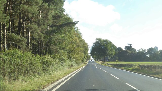
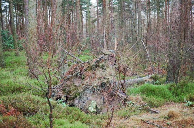
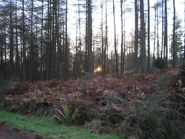
Backward Wood is a small forest located in the region of Fife, Scotland. Stretching over an area of approximately 100 acres, this woodland is known for its natural beauty and tranquil atmosphere. The wood is characterized by a diverse range of tree species, including oak, beech, birch, and pine, which create a rich and vibrant canopy that provides shade and shelter for a variety of wildlife.

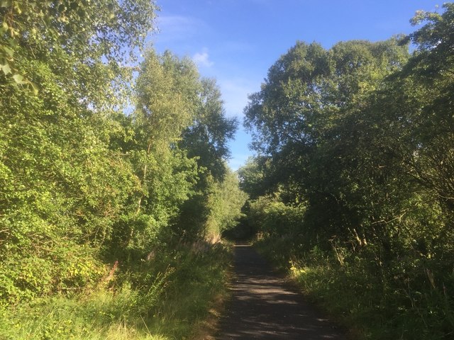
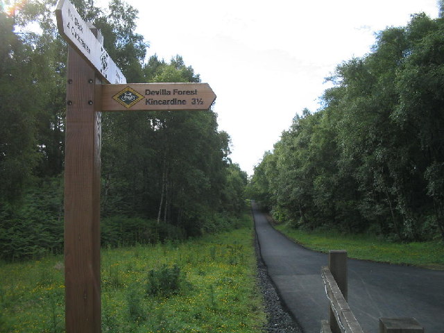
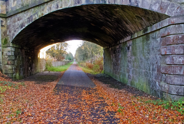
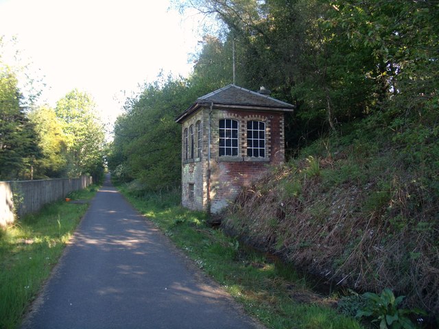
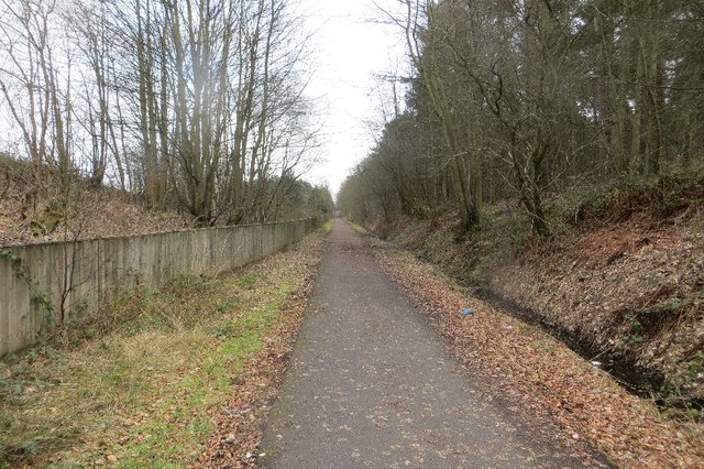
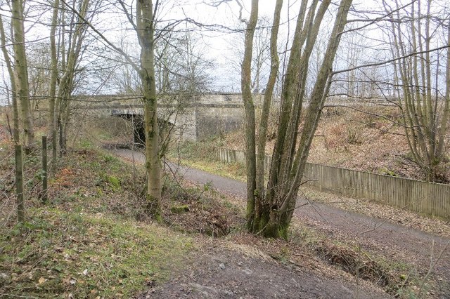
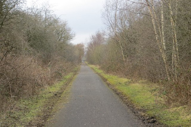
The forest is crisscrossed with numerous walking trails, allowing visitors to explore its enchanting surroundings at their own pace. These paths wind through the dense foliage, offering glimpses of charming wildflowers, moss-covered rocks, and babbling brooks. The peaceful ambiance of Backward Wood makes it a popular destination for nature lovers, hikers, and birdwatchers.

The woodland is home to a diverse array of wildlife, providing a habitat for numerous species. It is not uncommon to spot red squirrels darting through the trees or catch a glimpse of roe deer grazing in the undergrowth. Bird enthusiasts can observe a variety of species, including woodpeckers, owls, and various songbirds.

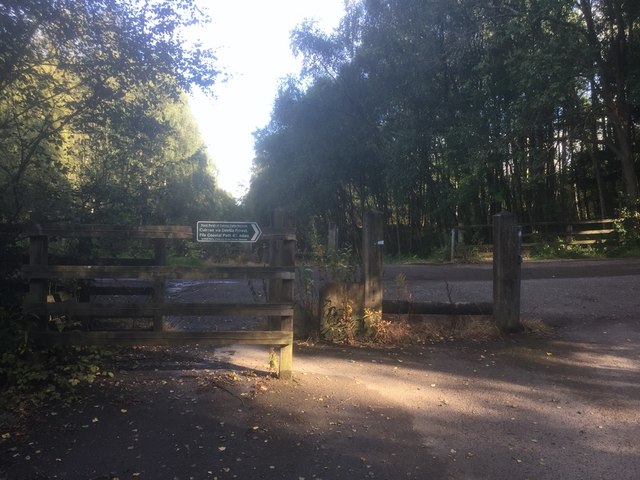
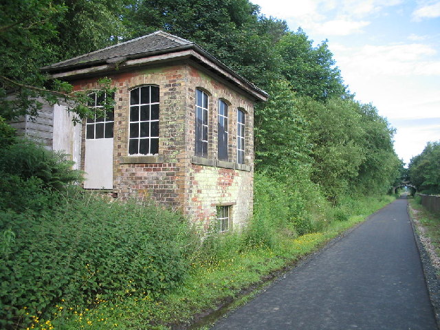
Adjacent to the wood, there is a small parking area and picnic spot, allowing visitors to relax and enjoy a packed lunch amidst the serene surroundings. The forest is well-maintained, with clear signage and well-maintained paths that ensure a safe and enjoyable experience for all visitors.

In conclusion, Backward Wood in Fife offers a peaceful retreat for nature enthusiasts, boasting a picturesque landscape, diverse flora and fauna, and well-maintained trails. Whether exploring the woodland or simply enjoying a picnic, visitors are sure to be captivated by the natural beauty and tranquility of this enchanting forest.

If you have any feedback on the listing, please let us know in the comments section below.

Backward Wood Images

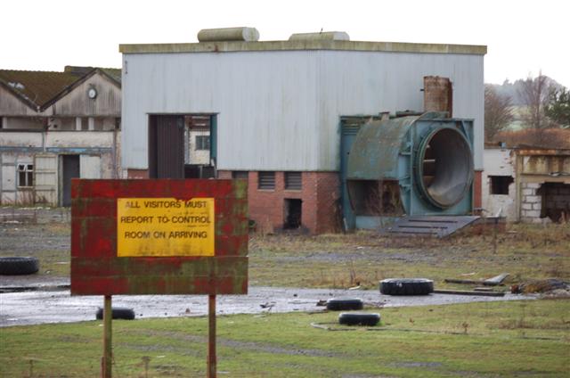
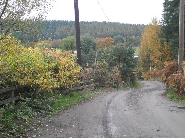
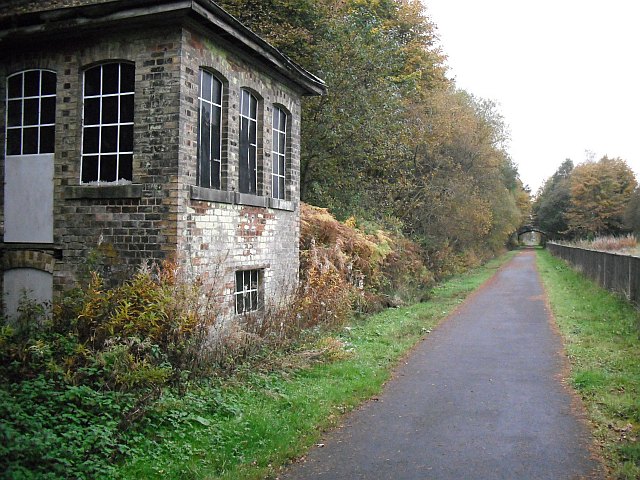
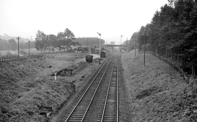
Images are sourced within 2km of 56.079722/-3.645434 or Grid Reference NS9788. Thanks to Geograph Open Source API. All images are credited.

A907 towards Dunfermline
West Fife Cycleway, Bogside
Road into Devilla Forest, Bogside
A985 north of Culross, Fife
West Fife Cycleway, Devilla turn off. The cycleway is very popular and forms part of an extensive network around Fife.
West Fife Cycleway, Devilla turn off.
The cycleway is very popular and forms part of an extensive network around Fife.
Disused signal box at the site of Bogside Station An interesting surviving relic from the railway along the West Fife Cycleway.
Disused signal box at the site of Bogside Station
An interesting surviving relic from the railway along the West Fife Cycleway.
Woodland Mixed woodland at Doo Craig Plantation.
Woodland
Mixed woodland at Doo Craig Plantation.
Bogside Mine Bogside Mine was opened in 1959 to supply coal to fire  Kincardine power station. In the 1960s its miners were regular holders of several national production records e.g. over 3000 tons per day! Like many other coalmines it was closed down in 1985 after the disastrous strike of the previous year.This picture shows some of what remains.
Bogside Mine
Bogside Mine was opened in 1959 to supply coal to fire Kincardine power station. In the 1960s its miners were regular holders of several national production records e.g. over 3000 tons per day! Like many other coalmines it was closed down in 1985 after the disastrous strike of the previous year.This picture shows some of what remains.
Road, Bogside Station Road by the site of Bogside Station. The road runs to Devilla Forest.
Road, Bogside Station
Road by the site of Bogside Station. The road runs to Devilla Forest.
Bogside Station Site of Bogside Station <a href="https://www.geograph.org.uk/photo/1842883">NS9790 : Site of Bogside (Fife) Station</a> with signal box. The line was finally closed to goods traffic in October 1979.
Bogside Station
Site of Bogside Station NS9790 : Site of Bogside (Fife) Station with signal box. The line was finally closed to goods traffic in October 1979.
Site of Bogside (Fife) Station View ESE, towards Dunfermline; ex-NBR Stirling - Alloa - Dunfermline line. Station closed to passengers on 15/9/58 (goods, 26/4/65), but the line remained open for passenger trains until 7/10/68 and for goods until 10/10/79.
Site of Bogside (Fife) Station
View ESE, towards Dunfermline; ex-NBR Stirling - Alloa - Dunfermline line. Station closed to passengers on 15/9/58 (goods, 26/4/65), but the line remained open for passenger trains until 7/10/68 and for goods until 10/10/79.
Cycle route The disused railway between Clackmannan and Dunfermline, now used as a cycle route.
Cycle route
The disused railway between Clackmannan and Dunfermline, now used as a cycle route.
Signal box of the former Bogside Station Although now a popular cycleway, this disused signal box at the former Bogside Station reminds cyclists and pedestrians of the time when this route was a thriving railway line.
Signal box of the former Bogside Station
Although now a popular cycleway, this disused signal box at the former Bogside Station reminds cyclists and pedestrians of the time when this route was a thriving railway line.
Site of Bogside Station On the Stirling and Dunfermline Railway, now a cycle path.
Site of Bogside Station
On the Stirling and Dunfermline Railway, now a cycle path.
Bridge, Bogside The A907 crosses the trackbed of the Stirling and Dunfermline Railway/West Fife Cycle Way. The rough path in the foreground is the way down to the trackbed from the outside world here.
Bridge, Bogside
The A907 crosses the trackbed of the Stirling and Dunfermline Railway/West Fife Cycle Way. The rough path in the foreground is the way down to the trackbed from the outside world here.
West Fife Cycleway, Bogside Trackbed of the Stirling and Dunfermline Railway, now a well surfaced road for muscle powered traffic.
West Fife Cycleway, Bogside
Trackbed of the Stirling and Dunfermline Railway, now a well surfaced road for muscle powered traffic.
Devilla Forest at sunset The forest is a haven for horse riders.  Red squirrels and deer are often seen.
Devilla Forest at sunset
The forest is a haven for horse riders. Red squirrels and deer are often seen.
Show me another place!

Backward Wood is located at Grid Ref: NS9788 (Lat: 56.079722, Lng: -3.645434)

Unitary Authority: Fife

Police Authority: Fife

What 3 Words

///lowest.fluffed.eruptions. Near High Valleyfield, Fife

Related Wikis

Related Videos

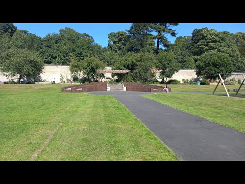
Walking with Tamson, episode 87. The Walled Garden tour with John

A wee tour of the Wimpy Park Community Garden with John.
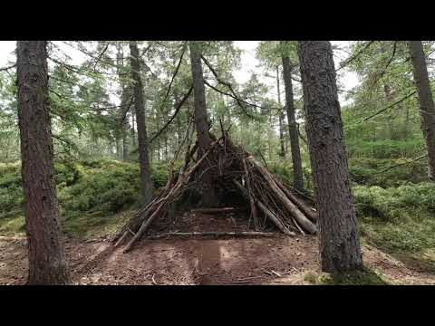
Devilla Forest

Family walk round Devilla Forest. Didn't see any red squirrels this time. Music : Almost in F - Tranquility : Kevin Macleod.

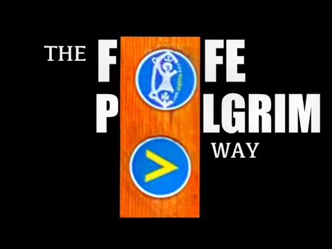
The Fife Pilgrim Way | Culross to Dunfermline Abbey

The Fife Pilgrim Way. Part one of the new series. Walking from Culross to Dunfermline. Walked for 400 years this Scottish ...

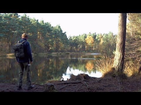
Devilla Forest and the Plague Grave

A Walk from Kincardine to Culross, looking at the Standard Stone, the Plague Grave and West Kirk.

Nearby Amenities

Located within 500m of 56.079722,-3.645434
Material: wood
Power: pole
Lat/Long: 56.0783455/-3.6448299
Material: wood
Power: pole
Lat/Long: 56.0815512/-3.6509502
Material: wood
Power: pole
Lat/Long: 56.0792907/-3.6466698
Material: wood
Power: pole
Lat/Long: 56.0820828/-3.6519787
Material: wood
Power: pole
Lat/Long: 56.0771307/-3.6424623
Material: wood
Power: pole
Lat/Long: 56.0798212/-3.6476768
Material: wood
Power: pole
Lat/Long: 56.0803035/-3.6485859
Material: wood
Power: pole
Lat/Long: 56.0777752/-3.6437257
Material: wood
Power: pole
Lat/Long: 56.0810477/-3.6500511
Power: pole
Lat/Long: 56.082844/-3.6463432
Power: pole
Lat/Long: 56.0834856/-3.6450527
Material: wood
Power: pole
Lat/Long: 56.0792375/-3.6386097
Material: wood
Power: pole
Lat/Long: 56.0789048/-3.6422942
Material: wood
Power: pole
Lat/Long: 56.0761635/-3.6425109
Power: pole
Lat/Long: 56.082272/-3.6475194
Power: pole
Lat/Long: 56.0816677/-3.6487726
Material: wood
Power: pole
Lat/Long: 56.0791127/-3.6399922
Material: wood
Power: pole
Lat/Long: 56.0789988/-3.6412531
Material: wood
Power: pole
Lat/Long: 56.0780311/-3.6423379
Power: pole
Lat/Long: 56.0813506/-3.6526926
Power: pole
Lat/Long: 56.0808148/-3.6528976
Power: pole
Lat/Long: 56.0802615/-3.6530942
Material: wood
Power: pole
Lat/Long: 56.0820089/-3.6385545
Material: wood
Power: pole
Lat/Long: 56.0823905/-3.6390273
Material: wood
Power: pole
Lat/Long: 56.0829858/-3.6400794
Material: wood
Power: pole
Lat/Long: 56.0810815/-3.6381079
Material: wood
Power: pole
Lat/Long: 56.0805096/-3.6382983
Material: wood
Power: pole
Lat/Long: 56.0799143/-3.6385054
Material: wood
Power: pole
Lat/Long: 56.0793271/-3.6387041
Material: wood
Power: pole
Lat/Long: 56.0786209/-3.6389467
Material: wood
Power: pole
Lat/Long: 56.0779532/-3.639181
Material: wood
Power: pole
Lat/Long: 56.0772248/-3.6394216
The data included in this document is from www.openstreetmap.org. The data is made available under ODbL.

Have you been to Backward Wood?

Leave your review of Backward Wood below (or comments, questions and feedback).