Park Plantation

Wood, Forest in Fife

Scotland

Park Plantation

Road into Devilla Forest, Bogside
Road into Devilla Forest, Bogside Credit: Richard Webb

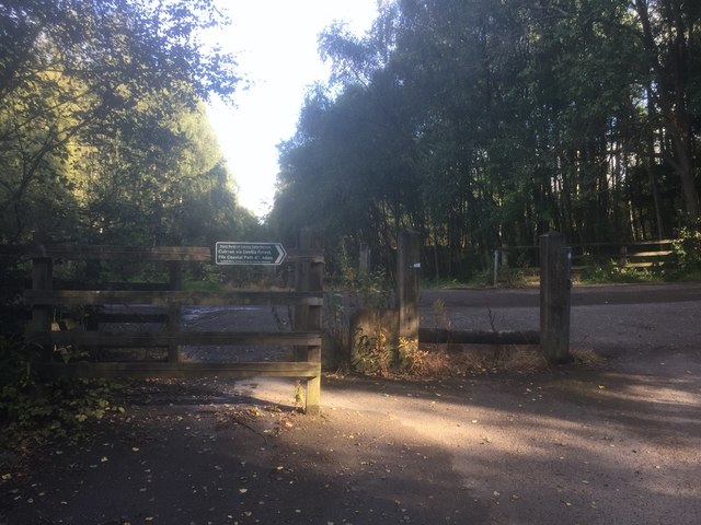
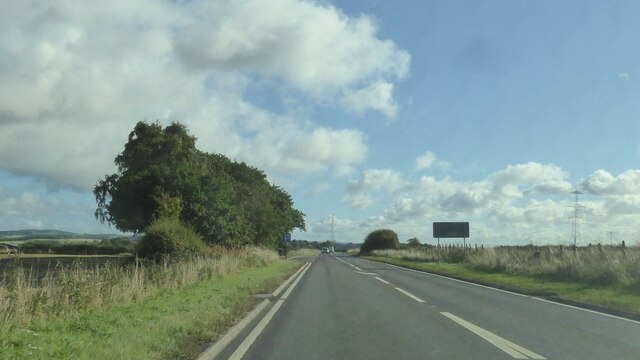
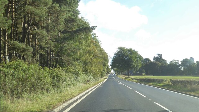
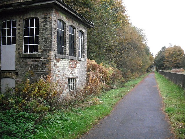
Park Plantation is a picturesque woodland located in the county of Fife, Scotland. Situated near the village of Parkhill, this forested area covers an approximate area of 200 acres. The plantation is known for its diverse range of tree species, including oak, birch, beech, and pine, creating a rich and vibrant ecosystem.

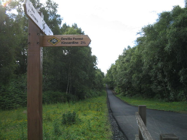
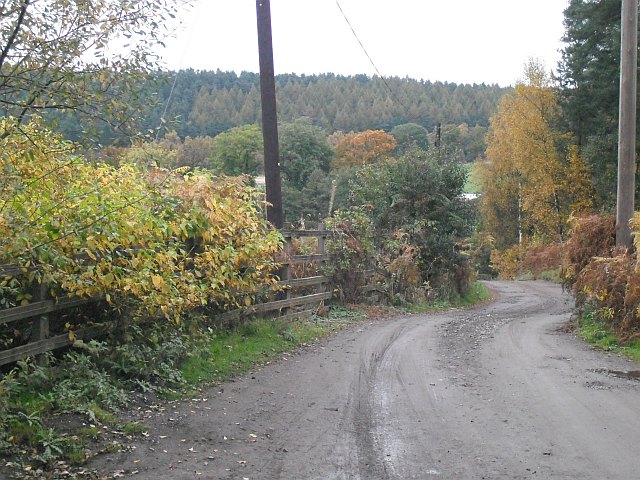
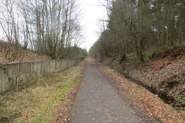
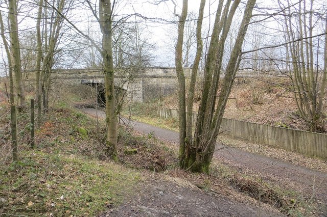
The woodland is a haven for nature enthusiasts, offering ample opportunities for walking, hiking, and exploring. Several well-maintained trails crisscross through the plantation, providing visitors with the chance to immerse themselves in the beauty of nature. As one meanders through the forest, they are greeted by the tranquil sounds of chirping birds, rustling leaves, and the occasional scampering of wild animals.

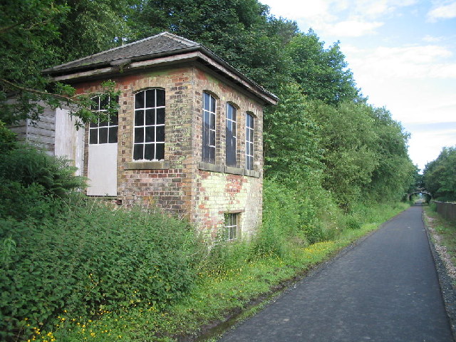
Park Plantation is not only valued for its natural beauty but also for its historical significance. The area was once part of Parkhill Estate, a grand property dating back to the 18th century. The remnants of old stone walls and the occasional hidden ruins add a touch of intrigue to the woodland, making it an ideal destination for history enthusiasts as well.

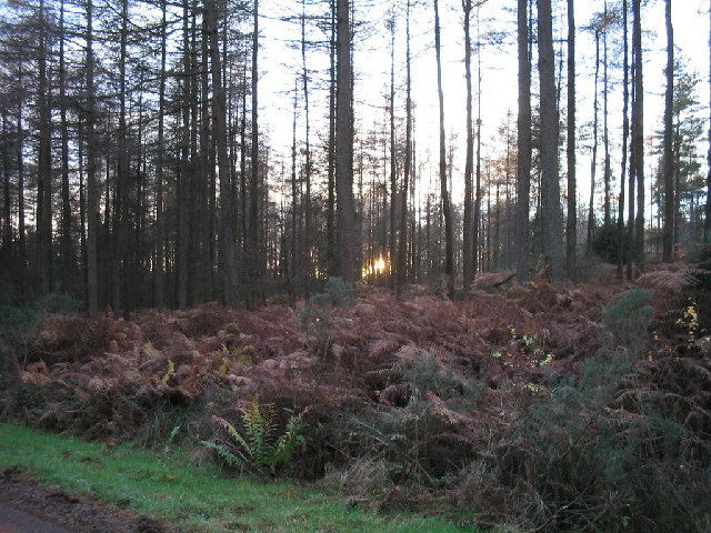
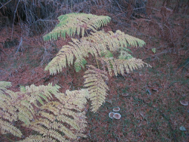
In addition to its recreational and historical value, Park Plantation also serves as an important habitat for wildlife. The diverse range of trees provides nesting sites for various bird species, while the undergrowth supports small mammals such as squirrels and rabbits. The forest floor is adorned with a colorful array of wildflowers and ferns, further enhancing its ecological significance.

Overall, Park Plantation in Fife is a captivating woodland that offers a delightful escape into nature. Whether one seeks adventure, tranquility, or a deeper understanding of the region's history, this forested area has something to offer for everyone.

If you have any feedback on the listing, please let us know in the comments section below.

Park Plantation Images

Images are sourced within 2km of 56.076664/-3.6483405 or Grid Reference NS9788. Thanks to Geograph Open Source API. All images are credited.

Road into Devilla Forest, Bogside
A Humourous Epitaph This is definitely the most eccentric gravestone I have come across so far. Why it has big stars for ears is the first question that comes to mind - it looks like a Snapchat filter ahead of time.
The epitaph took a bit of deciphering but I'm pretty sure the following is a fairly accurate transcription:
MY GLASS IS RVN
MY TYM IS SPENT
AND FOR MY SINS I SHOULD REPENT
It is almost unheard of to read anything so light-hearted on a gravestone and it is rather like the dead man is entering the afterlife - though it would seem unlikely he bought into religion too much on the basis of this - with a smile and a wink!
There is fresh earth around the stone. This usually signifies that the headstone had become unstable over time and has recently been righted. However it still sits at a jaunty angle. This guy's not just having the last laugh, he seems to be having all the laughs!
A Humourous Epitaph
This is definitely the most eccentric gravestone I have come across so far. Why it has big stars for ears is the first question that comes to mind - it looks like a Snapchat filter ahead of time. The epitaph took a bit of deciphering but I'm pretty sure the following is a fairly accurate transcription: MY GLASS IS RVN MY TYM IS SPENT AND FOR MY SINS I SHOULD REPENT It is almost unheard of to read anything so light-hearted on a gravestone and it is rather like the dead man is entering the afterlife - though it would seem unlikely he bought into religion too much on the basis of this - with a smile and a wink! There is fresh earth around the stone. This usually signifies that the headstone had become unstable over time and has recently been righted. However it still sits at a jaunty angle. This guy's not just having the last laugh, he seems to be having all the laughs!
A985 north of Culross, Fife
West Fife Cycleway, Devilla turn off. The cycleway is very popular and forms part of an extensive network around Fife.
West Fife Cycleway, Devilla turn off.
The cycleway is very popular and forms part of an extensive network around Fife.
Disused signal box at the site of Bogside Station An interesting surviving relic from the railway along the West Fife Cycleway.
Disused signal box at the site of Bogside Station
An interesting surviving relic from the railway along the West Fife Cycleway.
Bogside Mine Bogside Mine was opened in 1959 to supply coal to fire  Kincardine power station. In the 1960s its miners were regular holders of several national production records e.g. over 3000 tons per day! Like many other coalmines it was closed down in 1985 after the disastrous strike of the previous year.This picture shows some of what remains.
Bogside Mine
Bogside Mine was opened in 1959 to supply coal to fire Kincardine power station. In the 1960s its miners were regular holders of several national production records e.g. over 3000 tons per day! Like many other coalmines it was closed down in 1985 after the disastrous strike of the previous year.This picture shows some of what remains.
Road, Bogside Station Road by the site of Bogside Station. The road runs to Devilla Forest.
Road, Bogside Station
Road by the site of Bogside Station. The road runs to Devilla Forest.
Bogside Station Site of Bogside Station <a href="https://www.geograph.org.uk/photo/1842883">NS9790 : Site of Bogside (Fife) Station</a> with signal box. The line was finally closed to goods traffic in October 1979.
Bogside Station
Site of Bogside Station NS9790 : Site of Bogside (Fife) Station with signal box. The line was finally closed to goods traffic in October 1979.
Site of Bogside (Fife) Station View ESE, towards Dunfermline; ex-NBR Stirling - Alloa - Dunfermline line. Station closed to passengers on 15/9/58 (goods, 26/4/65), but the line remained open for passenger trains until 7/10/68 and for goods until 10/10/79.
Site of Bogside (Fife) Station
View ESE, towards Dunfermline; ex-NBR Stirling - Alloa - Dunfermline line. Station closed to passengers on 15/9/58 (goods, 26/4/65), but the line remained open for passenger trains until 7/10/68 and for goods until 10/10/79.
Cycle route The disused railway between Clackmannan and Dunfermline, now used as a cycle route.
Cycle route
The disused railway between Clackmannan and Dunfermline, now used as a cycle route.
Signal box of the former Bogside Station Although now a popular cycleway, this disused signal box at the former Bogside Station reminds cyclists and pedestrians of the time when this route was a thriving railway line.
Signal box of the former Bogside Station
Although now a popular cycleway, this disused signal box at the former Bogside Station reminds cyclists and pedestrians of the time when this route was a thriving railway line.
Site of Bogside Station On the Stirling and Dunfermline Railway, now a cycle path.
Site of Bogside Station
On the Stirling and Dunfermline Railway, now a cycle path.
Bridge, Bogside The A907 crosses the trackbed of the Stirling and Dunfermline Railway/West Fife Cycle Way. The rough path in the foreground is the way down to the trackbed from the outside world here.
Bridge, Bogside
The A907 crosses the trackbed of the Stirling and Dunfermline Railway/West Fife Cycle Way. The rough path in the foreground is the way down to the trackbed from the outside world here.
Devilla Forest at sunset The forest is a haven for horse riders.  Red squirrels and deer are often seen.
Devilla Forest at sunset
The forest is a haven for horse riders. Red squirrels and deer are often seen.
The forest floor Rich autumn colours on the ground in this largely coniferous forest.
The forest floor
Rich autumn colours on the ground in this largely coniferous forest.
Ripening grain crops in West Fife Taken looking north from the West Fife Cycleway, about 1 mile west of Blairhall.
Ripening grain crops in West Fife
Taken looking north from the West Fife Cycleway, about 1 mile west of Blairhall.
Pond at Burrowine Farm The pond is home to coots and occasional mallard.
Pond at Burrowine Farm
The pond is home to coots and occasional mallard.
Show me another place!

Park Plantation is located at Grid Ref: NS9788 (Lat: 56.076664, Lng: -3.6483405)

Unitary Authority: Fife

Police Authority: Fife

What 3 Words

///gossiping.goals.rebounded. Near High Valleyfield, Fife

Related Wikis

Balgownie Wood

Balgownie Wood is a woodland in West Fife, Scotland, south of the village of Blairhall and east of Balgownie Mains. The woods used to belong to nearby...

Bogside (Fife) railway station

Bogside (Fife) railway station served the hamlet of Bogside, Fife, Scotland from 1850 to 1958 on the Stirling and Dunfermline Railway. == History == The...

Dunimarle Castle

Dunimarle Castle is located 1 km west of the centre of the village of Culross in Fife, Scotland. The name 'Dunimarle' means 'castle by the sea', although...

Culross Abbey

Culross Abbey is a former Cistercian abbey in Culross, Scotland, headed by the Abbot or Commendator of Culross. Part of it is still used as the local parish...

Nearby Amenities

Located within 500m of 56.076664,-3.6483405
Material: wood
Power: pole
Lat/Long: 56.0783455/-3.6448299
Material: wood
Power: pole
Lat/Long: 56.0792907/-3.6466698
Material: wood
Power: pole
Lat/Long: 56.0771307/-3.6424623
Material: wood
Power: pole
Lat/Long: 56.0798212/-3.6476768
Material: wood
Power: pole
Lat/Long: 56.0803035/-3.6485859
Material: wood
Power: pole
Lat/Long: 56.0777752/-3.6437257
Material: wood
Power: pole
Lat/Long: 56.0810477/-3.6500511
Passing Place
Lat/Long: 56.0773228/-3.6536647
Material: wood
Power: pole
Lat/Long: 56.0789048/-3.6422942
Material: wood
Power: pole
Lat/Long: 56.0753081/-3.6425539
Material: wood
Power: pole
Lat/Long: 56.0735937/-3.6426497
Material: wood
Power: pole
Lat/Long: 56.074468/-3.6425944
Material: wood
Power: pole
Lat/Long: 56.0761635/-3.6425109
Material: wood
Power: pole
Lat/Long: 56.0780311/-3.6423379
Power: pole
Lat/Long: 56.0802615/-3.6530942
The data included in this document is from www.openstreetmap.org. The data is made available under ODbL.

Have you been to Park Plantation?

Leave your review of Park Plantation below (or comments, questions and feedback).