Cormack Wood
Wood, Forest in Morayshire
Scotland
Cormack Wood
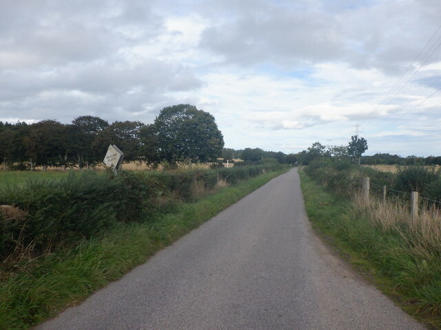
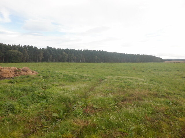
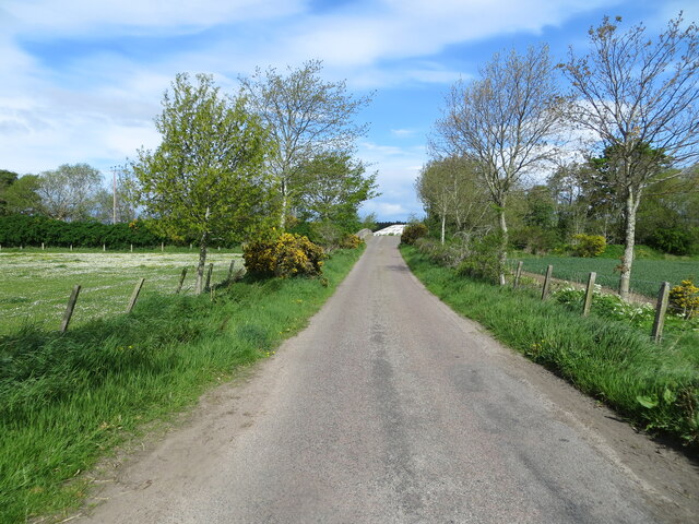
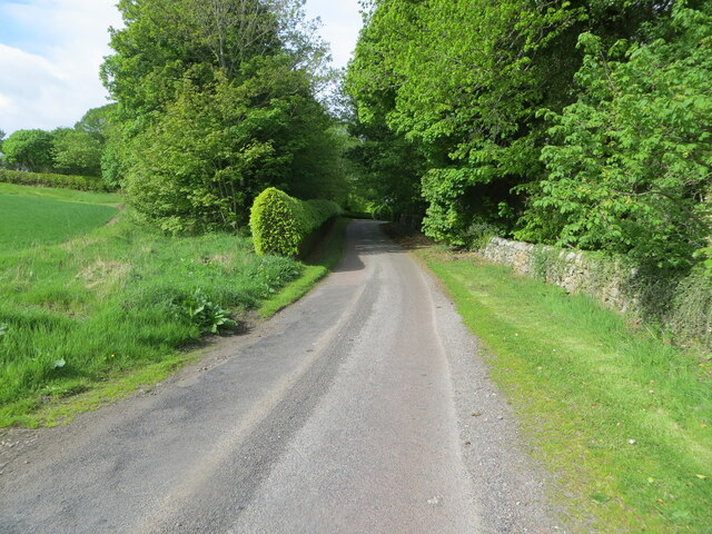
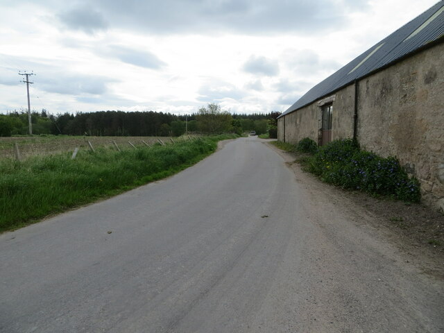
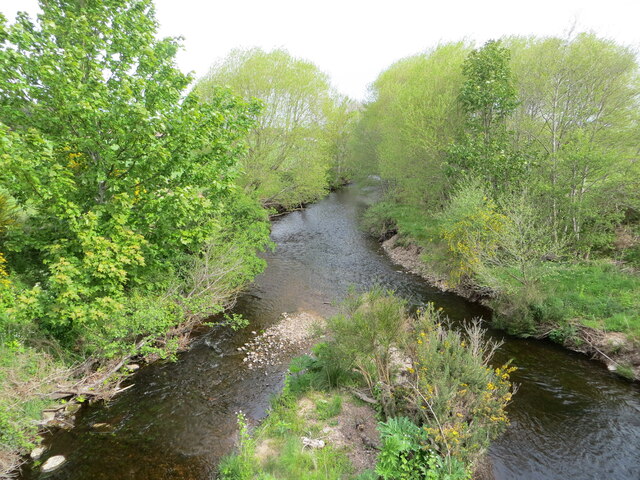
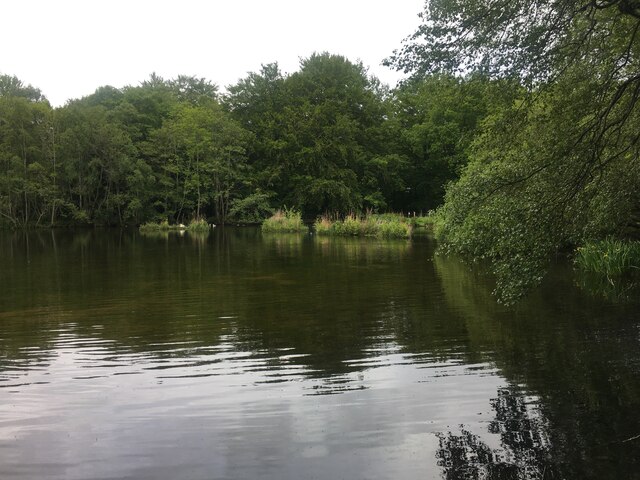
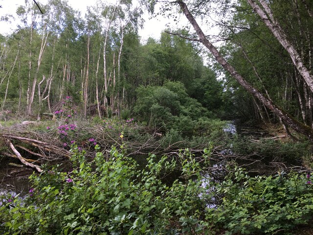
Cormack Wood is a picturesque forest located in the region of Morayshire, Scotland. Covering an area of approximately 200 hectares, this enchanting woodland is known for its diverse flora and fauna, making it a popular destination for nature enthusiasts and hikers alike.
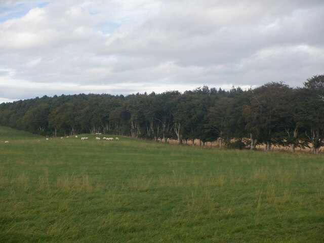
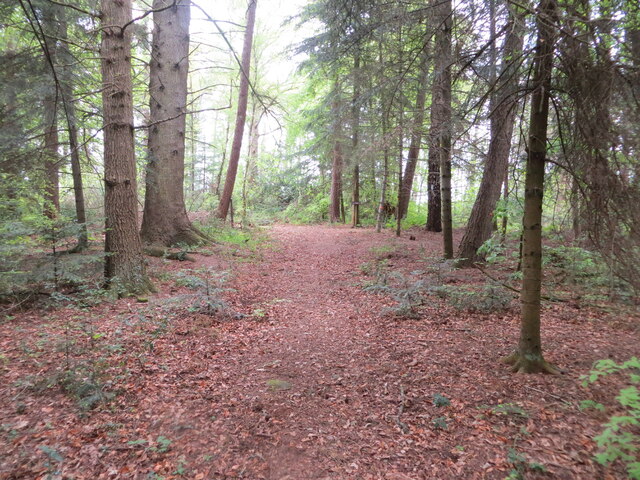
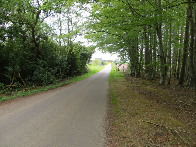
The forest consists mainly of native tree species, including oak, birch, and pine, which create a dense canopy overhead, providing a serene and shaded atmosphere. The forest floor is adorned with a vibrant tapestry of wildflowers, ferns, and mosses, adding to the natural beauty of the area.
Cormack Wood is home to a variety of wildlife, providing a haven for many species. Visitors may encounter red squirrels darting through the trees, while the patient observer may spot roe deer grazing on the forest edges. The forest also attracts a wide range of bird species, such as woodpeckers, owls, and various songbirds, filling the air with their melodious calls.
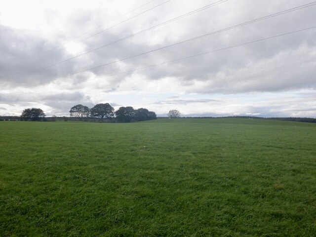
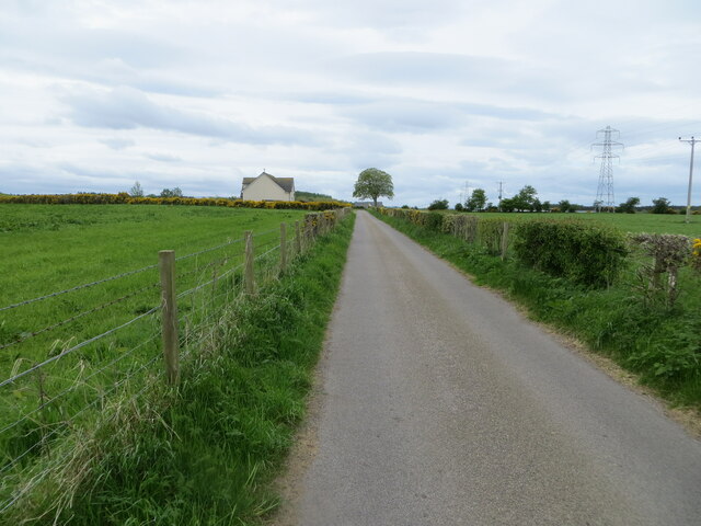
For outdoor enthusiasts, Cormack Wood offers a network of well-maintained trails, allowing visitors to explore the forest at their own pace. These trails cater to all levels of fitness, ranging from gentle strolls to more challenging hikes. Along the way, visitors can enjoy breathtaking views of the surrounding countryside, including rolling hills, meandering rivers, and distant mountains.
In addition to its natural beauty, Cormack Wood holds historical significance as well. The forest is dotted with remnants of ancient settlements, including stone circles and burial mounds, providing a glimpse into the area's rich cultural heritage.
Overall, Cormack Wood is a haven of tranquility and natural beauty, offering visitors an opportunity to immerse themselves in the stunning landscape and diverse wildlife of Morayshire.
If you have any feedback on the listing, please let us know in the comments section below.
Cormack Wood Images
Images are sourced within 2km of 57.595016/-3.7189551 or Grid Reference NH9757. Thanks to Geograph Open Source API. All images are credited.


Cormack Wood is located at Grid Ref: NH9757 (Lat: 57.595016, Lng: -3.7189551)
Unitary Authority: Moray
Police Authority: North East
What 3 Words
///drums.neatly.pound. Near Forres, Moray
Nearby Locations
Related Wikis
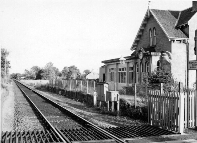
Brodie railway station
Brodie railway station served the area of Brodie, Moray, Scotland from 1857 to 1965 on the Inverness and Aberdeen Junction Railway. == History == The station...

Rodney's Stone
Rodney's Stone is a two-metre high Pictish cross slab now located close on the approach way to Brodie Castle, near Forres, Moray, Scotland. It was originally...

Dyke, Moray
Dyke (Scottish Gaelic: Dìg) is a small village situated in the north of Scotland on the Moray coast, approximately 4 miles west of Forres. The origin of...

Dyke Parish Church
Dyke Parish Church is a Georgian church in Dyke, a village in Moray. In active use by the Church of Scotland since it was built in 1781, it stands on the...
Nearby Amenities
Located within 500m of 57.595016,-3.7189551Have you been to Cormack Wood?
Leave your review of Cormack Wood below (or comments, questions and feedback).