Cascade
Settlement in Glamorgan
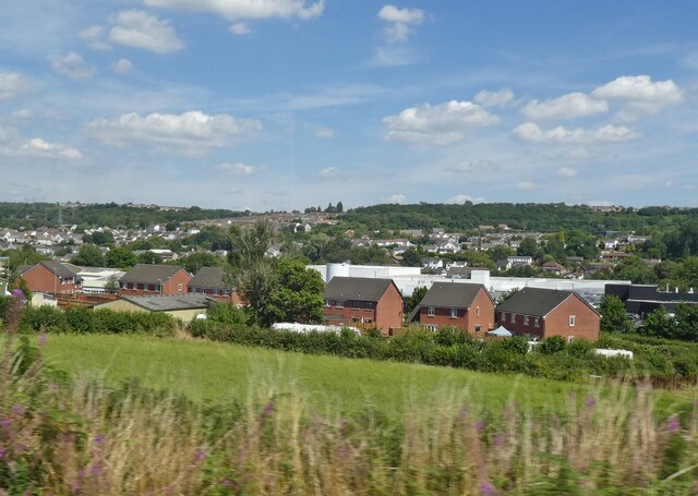
Wales
Cascade
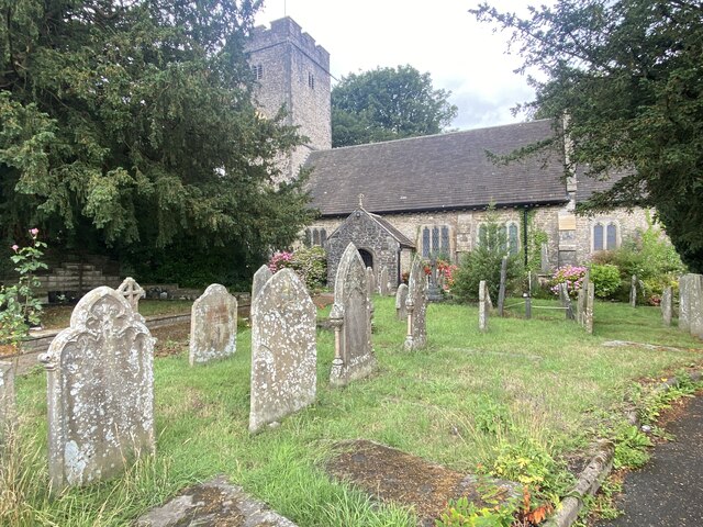
Cascade is a small village located in the county of Glamorgan, Wales. Situated in the picturesque countryside, it is known for its natural beauty and tranquil surroundings. The village is nestled in the valley of the River Cascade, which flows through the heart of the community.
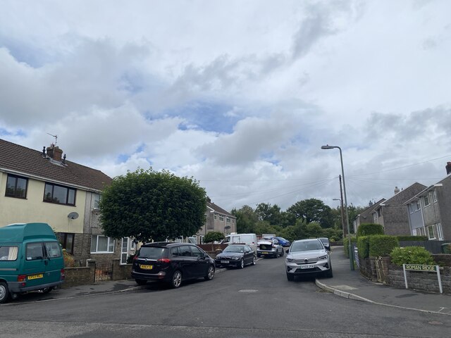
With a population of around 500 residents, Cascade offers a close-knit community atmosphere. The village is primarily residential, with charming cottages and traditional houses dotting the landscape. Many of these properties boast stunning views of the rolling hills and lush green fields that surround the area.
One of the main attractions of Cascade is its natural waterfall, which the village is named after. The Cascade Waterfall is a popular spot for locals and visitors alike, offering a serene setting to relax and enjoy the sounds of rushing water. The waterfall also provides opportunities for outdoor activities such as hiking and picnicking.
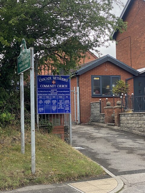
Although small in size, Cascade has a few amenities to cater to the needs of its residents. There is a local pub that serves as a social hub, providing a place for villagers to gather and socialize. Additionally, a small convenience store supplies essential groceries and everyday items.
For those seeking a peaceful and picturesque retreat, Cascade in Glamorgan offers a charming village atmosphere, breathtaking landscapes, and a close community spirit. It is a place where residents can enjoy the beauty of nature while still having access to essential amenities.
If you have any feedback on the listing, please let us know in the comments section below.
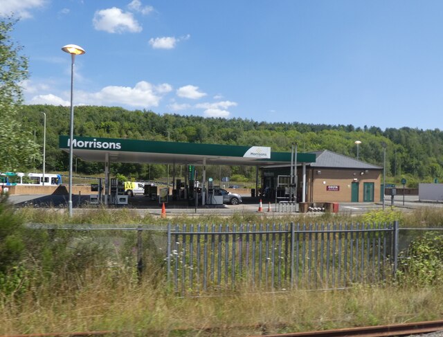
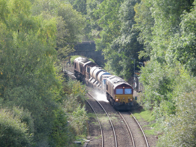
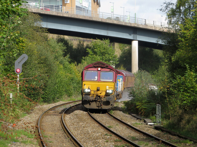
Cascade Images
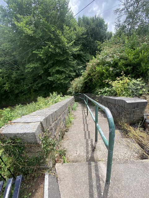
Images are sourced within 2km of 51.672313/-3.237278 or Grid Reference ST1497. Thanks to Geograph Open Source API. All images are credited.
Cascade is located at Grid Ref: ST1497 (Lat: 51.672313, Lng: -3.237278)
Unitary Authority: Caerphilly
Police Authority: Gwent
What 3 Words
///round.output.formal. Near Pengam, Caerphilly
Nearby Locations
Related Wikis

Penpedairheol, Caerphilly
Penpedairheol is a village situated in the Rhymney Valleys, South Wales. It is located between Pengam, Gelligaer, Bargoed, Hengoed and Cefn Hengoed in...
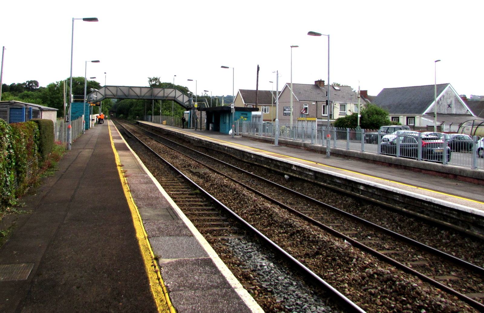
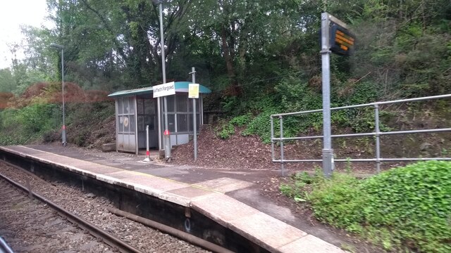
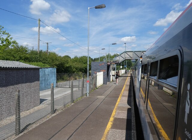
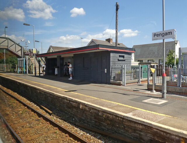
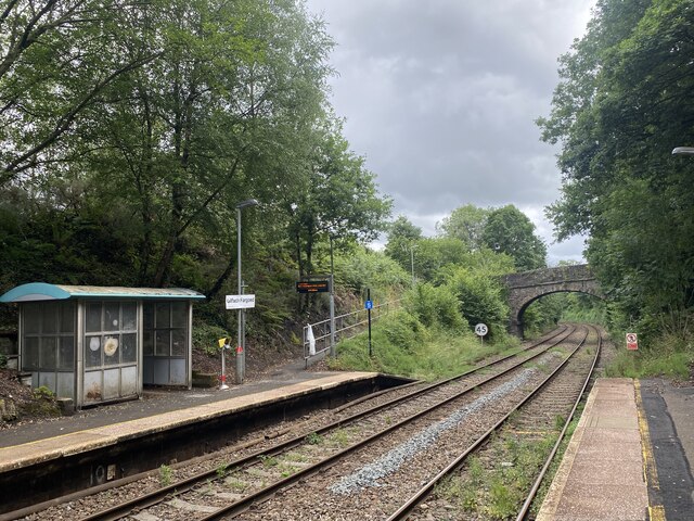
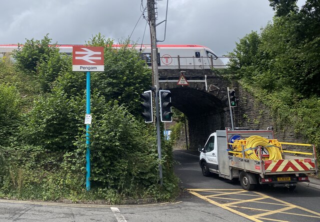
Pengam railway station
Pengam railway station is situated in Pengam on the Rhymney Line of the Valley Lines network in South Wales. It is also the nearest station to the town...
Gilfach
Gilfach is the small district that lies between Bargoed and Pengam, situated in the Caerphilly county borough, seven miles north of Caerphilly, within...
Lewis School, Pengam
Lewis Boys School, Pengam is a comprehensive school, founded in 1729 in the parish and village of Gelligaer and, later, moved to the nearby village of...
Nearby Amenities
Located within 500m of 51.672313,-3.237278Have you been to Cascade?
Leave your review of Cascade below (or comments, questions and feedback).