Colonel's Wood

Wood, Forest in Kirkcudbrightshire

Scotland

Colonel's Wood

Crichton Memorial Church, Dumfries The non-denominational, cathedral-style Crichton Memorial Church is the focal point of the 85 acre Crichton Estate. The church, designed by Edinburgh architect Sydney Mitchell, was completed in 1897 for the Crichton Royal Hospital, a model psychiatric hospital, the gift of Elizabeth Crichton.  It is a Category A listed building (LB6695 <span class="nowrap"><a title="http://portal.historicenvironment.scot/designation/LB6695" rel="nofollow ugc noopener" href="http://portal.historicenvironment.scot/designation/LB6695">Link</a><img style="margin-left:2px;" alt="External link" title="External link - shift click to open in new window" src="https://s1.geograph.org.uk/img/external.png" width="10" height="10"/></span> Historic Environment Scotland).
Crichton Memorial Church, Dumfries Credit: David Dixon

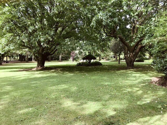
Colonel's Wood is a picturesque forest located in Kirkcudbrightshire, Scotland. Covering an area of approximately 50 hectares, the wood is nestled in the heart of the countryside and offers a tranquil escape for nature lovers and outdoor enthusiasts.

The forest is characterized by a diverse range of tree species, including oak, birch, beech, and pine. These majestic trees create a dense canopy that provides shade and shelter for a variety of wildlife, making Colonel's Wood a haven for birdwatchers and wildlife enthusiasts.

Visitors to Colonel's Wood can enjoy a network of well-maintained trails that wind through the forest, offering an opportunity to explore the natural beauty of the area. The trails vary in length and difficulty, catering to both casual strollers and more experienced hikers.

The forest also boasts a small stream that meanders through its heart, adding to the tranquil ambiance and providing a serene backdrop for a leisurely stroll. The soothing sound of running water and the chirping of birds create a peaceful atmosphere that is perfect for relaxation and reflection.

Colonel's Wood is popular among locals and tourists alike, offering a range of outdoor activities such as picnicking, birdwatching, and photography. It is also a great spot for nature education programs and school outings, as it provides a unique opportunity for children to learn about the local ecosystem and appreciate the importance of conservation.

Overall, Colonel's Wood in Kirkcudbrightshire is a picturesque forest that offers a peaceful retreat from the hustle and bustle of everyday life. With its diverse flora and fauna, well-maintained trails, and scenic beauty, it is a must-visit destination for nature enthusiasts and those seeking a serene natural escape.

If you have any feedback on the listing, please let us know in the comments section below.

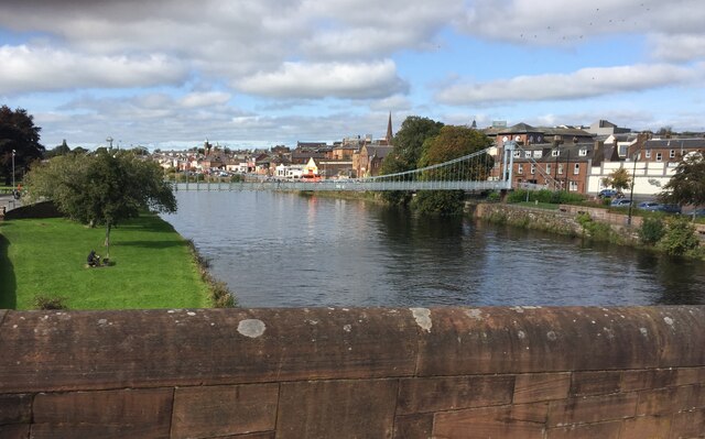
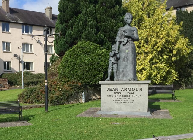
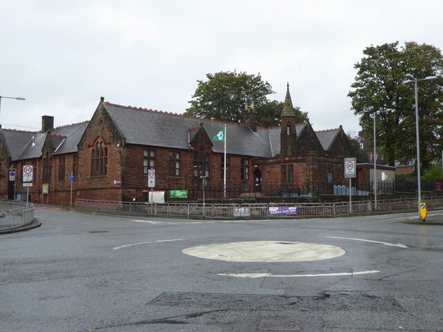
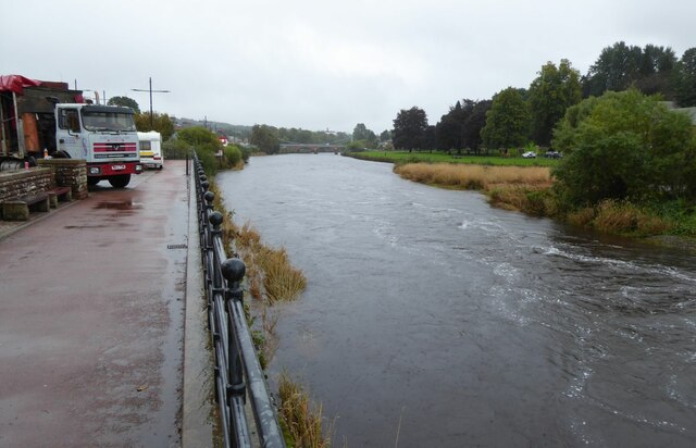
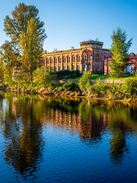
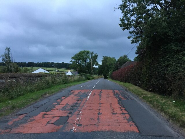
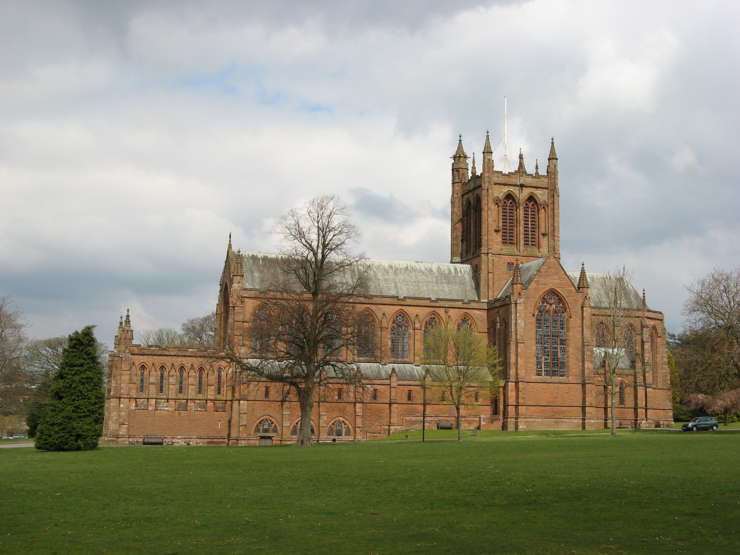
Colonel's Wood Images

Images are sourced within 2km of 55.049755/-3.6117191 or Grid Reference NX9773. Thanks to Geograph Open Source API. All images are credited.

Crichton Memorial Church, Dumfries The non-denominational, cathedral-style Crichton Memorial Church is the focal point of the 85 acre Crichton Estate. The church, designed by Edinburgh architect Sydney Mitchell, was completed in 1897 for the Crichton Royal Hospital, a model psychiatric hospital, the gift of Elizabeth Crichton.  It is a Category A listed building (LB6695 <span class="nowrap"><a title="http://portal.historicenvironment.scot/designation/LB6695" rel="nofollow ugc noopener" href="http://portal.historicenvironment.scot/designation/LB6695">Link</a><img style="margin-left:2px;" alt="External link" title="External link - shift click to open in new window" src="https://s1.geograph.org.uk/img/external.png" width="10" height="10"/></span> Historic Environment Scotland).
Crichton Memorial Church, Dumfries
The non-denominational, cathedral-style Crichton Memorial Church is the focal point of the 85 acre Crichton Estate. The church, designed by Edinburgh architect Sydney Mitchell, was completed in 1897 for the Crichton Royal Hospital, a model psychiatric hospital, the gift of Elizabeth Crichton. It is a Category A listed building (LB6695 LinkExternal link Historic Environment Scotland).
The Crichton Gardens, Dumfries Part of the Crichton Estate, the Gardens were established in the early 1900s.
The Crichton Gardens, Dumfries
Part of the Crichton Estate, the Gardens were established in the early 1900s.
Boundary Stone, Graigs Road Parliamentary & Police Burgh boundary in 1900.

Milestone Society National ID: DF_DUMF02pb
Boundary Stone, Graigs Road
Parliamentary & Police Burgh boundary in 1900. Milestone Society National ID: DF_DUMF02pb
The Veterans’ Garden, Dumfries Based at the Crichton, The Veterans’ Garden is a registered charity whose aim is “The advancement of health through supporting service personnel suffering from PTSD and other service-related injuries“.
The Veterans’ Garden, Dumfries
Based at the Crichton, The Veterans’ Garden is a registered charity whose aim is “The advancement of health through supporting service personnel suffering from PTSD and other service-related injuries“.
Dumfries, The Veterans’ Garden Based at the Crichton, The Veterans’ Garden is a registered charity whose aim is “The advancement of health through supporting service personnel suffering from PTSD and other service-related injuries“.
Dumfries, The Veterans’ Garden
Based at the Crichton, The Veterans’ Garden is a registered charity whose aim is “The advancement of health through supporting service personnel suffering from PTSD and other service-related injuries“.
The Crichton Memorial Church The non-denominational, cathedral-style Crichton Memorial Church is the focal point of the 85-acre Crichton Estate. The church, designed by Edinburgh architect Sydney Mitchell, was completed in 1897 for the Crichton Royal Hospital, a model psychiatric hospital, the gift of Elizabeth Crichton.  It is a Category A listed building (LB6695 <span class="nowrap"><a title="http://portal.historicenvironment.scot/designation/LB6695" rel="nofollow ugc noopener" href="http://portal.historicenvironment.scot/designation/LB6695">Link</a><img style="margin-left:2px;" alt="External link" title="External link - shift click to open in new window" src="https://s1.geograph.org.uk/img/external.png" width="10" height="10"/></span> Historic Environment Scotland).
The Crichton Memorial Church
The non-denominational, cathedral-style Crichton Memorial Church is the focal point of the 85-acre Crichton Estate. The church, designed by Edinburgh architect Sydney Mitchell, was completed in 1897 for the Crichton Royal Hospital, a model psychiatric hospital, the gift of Elizabeth Crichton. It is a Category A listed building (LB6695 LinkExternal link Historic Environment Scotland).
River Nith at Dumfries A beautiful suspension bridge provides a footbridge for pedestrians
River Nith at Dumfries
A beautiful suspension bridge provides a footbridge for pedestrians
Statue of Jean Armour Statue to Robert Burns' wife, standing in Dumfries between her home and her church. Mother to nine of his children, including two sets of twins, while he also had four more children by other women. <span class="nowrap"><a title="https://en.wikipedia.org/wiki/Jean_Armour" rel="nofollow ugc noopener" href="https://en.wikipedia.org/wiki/Jean_Armour">Link</a><img style="margin-left:2px;" alt="External link" title="External link - shift click to open in new window" src="https://s1.geograph.org.uk/img/external.png" width="10" height="10"/></span>
Statue of Jean Armour
Statue to Robert Burns' wife, standing in Dumfries between her home and her church. Mother to nine of his children, including two sets of twins, while he also had four more children by other women. LinkExternal link
St Michael's Primary School Originally, the school began as a Church School attached to the South Free Territorial Church. The school opened in 1865 and provided a general education - including Latin, for some pupils.

'At St Michael’s Primary we aim to provide a secure, supportive and friendly environment in which the children will develop skills and experiences, which will allow them to reach their full potential.' <span class="nowrap"><a title="https://stmichaelsdumfries.dumgal.sch.uk/" rel="nofollow ugc noopener" href="https://stmichaelsdumfries.dumgal.sch.uk/">Link</a><img style="margin-left:2px;" alt="External link" title="External link - shift click to open in new window" src="https://s1.geograph.org.uk/img/external.png" width="10" height="10"/></span>
St Michael's Primary School
Originally, the school began as a Church School attached to the South Free Territorial Church. The school opened in 1865 and provided a general education - including Latin, for some pupils. 'At St Michael’s Primary we aim to provide a secure, supportive and friendly environment in which the children will develop skills and experiences, which will allow them to reach their full potential.' LinkExternal link
Advert at St Michael's Services garage Nith Inshore Rescue is an independent lifeboat serving the Dumfries area. We are based in Glencaple, 5 miles south of Dumfries in south-west Scotland, on the estuary of the River Nith close to where it joins the Solway Firth.
Advert at St Michael's Services garage
Nith Inshore Rescue is an independent lifeboat serving the Dumfries area. We are based in Glencaple, 5 miles south of Dumfries in south-west Scotland, on the estuary of the River Nith close to where it joins the Solway Firth.
The River Nith in Dumfries The lorry is unloading the components of the fair being erected beside the river.
The River Nith in Dumfries
The lorry is unloading the components of the fair being erected beside the river.
Derelict Mill, Dumfries
Old Boundary Marker on the B726 Kingholm Road, Dumfries War Department Boundary Marker inscribed in a gatepost on the northwest side of the B726 Kingholm Road, Dumfries, where a footpath leaves towards the riverside. 

Milestone Society National ID: DF_WDKING02em
Old Boundary Marker on the B726 Kingholm Road, Dumfries
War Department Boundary Marker inscribed in a gatepost on the northwest side of the B726 Kingholm Road, Dumfries, where a footpath leaves towards the riverside. Milestone Society National ID: DF_WDKING02em
Old Boundary Marker by the A710, Maxwelltown parish Parish Boundary Marker by the A710, in parish of Maxwelltown (Dumfries and Galloway Council), North of Priestlands, opposite Broomlands Lodge at edge of town.

Surveyed

Milestone Society National ID: DF_MXT02pb
Old Boundary Marker by the A710, Maxwelltown parish
Parish Boundary Marker by the A710, in parish of Maxwelltown (Dumfries and Galloway Council), North of Priestlands, opposite Broomlands Lodge at edge of town. Surveyed Milestone Society National ID: DF_MXT02pb
View of the White Sands, Dumfries As seen through the Camera Obsura at the top of the windmill tower in Dumfries Museum <a href="https://www.geograph.org.uk/photo/5653253">NX9675 : Dumfries Museum</a>. The instrument was installed in 1836 when the tower was converted into an observatory. This makers it the world's oldest working Camera Obscura. This is the view as seen projected onto the viewing table. You may want to turn the image through 90 degrees to see the scene more easily - buses are parked beside the weir on the River Nith at the White Sands.

The observatory is Category A listed <span class="nowrap"><a title="http://portal.historicenvironment.scot/designation/LB26135" rel="nofollow ugc noopener" href="http://portal.historicenvironment.scot/designation/LB26135">Link</a><img style="margin-left:2px;" alt="External link" title="External link - shift click to open in new window" src="https://s1.geograph.org.uk/img/external.png" width="10" height="10"/></span>.
View of the White Sands, Dumfries
As seen through the Camera Obsura at the top of the windmill tower in Dumfries Museum NX9675 : Dumfries Museum. The instrument was installed in 1836 when the tower was converted into an observatory. This makers it the world's oldest working Camera Obscura. This is the view as seen projected onto the viewing table. You may want to turn the image through 90 degrees to see the scene more easily - buses are parked beside the weir on the River Nith at the White Sands. The observatory is Category A listed LinkExternal link.
Track to Netherwood Mains Track to Netherwood Mains.
Track to Netherwood Mains
Track to Netherwood Mains.
A710 at Islesteps
A710 at Islesteps
Looking to Criffel Looking over the River Nith towards Criffel on a cold winters afternoon.
Looking to Criffel
Looking over the River Nith towards Criffel on a cold winters afternoon.
Show me another place!

Colonel's Wood is located at Grid Ref: NX9773 (Lat: 55.049755, Lng: -3.6117191)

Unitary Authority: Dumfries and Galloway

Police Authority: Dumfries and Galloway

What 3 Words

///running.shunning.tummy. Near Dumfries, Dumfries & Galloway

Related Wikis

Dumfries Castle

Dumfries Castle was a royal castle that was located in Dumfries, Scotland. It was sited by the River Nith, in the area now known as Castledykes Park.A...

Troqueer

Troqueer is a former village and a parish in the historic county of Kirkcudbrightshire in Dumfries and Galloway on the west side of the River Nith. The...

The Crichton

The Crichton is an institutional campus in Dumfries in southwest Scotland. It serves as a remote campus for the University of Glasgow, the University of...

Midpark Hospital

Midpark Hospital is a modern acute mental health unit located in Dumfries. The hospital is managed by NHS Dumfries and Galloway. == History == === Design... ===

St Joseph's College, Dumfries

St Joseph's College in Dumfries, South West Scotland, is a Roman Catholic secondary school. It began as a Catholic boys' boarding school run by Marist...

Curriestanes cursus

Curriestanes cursus (grid reference NX 95990 75170) is a large neolithic ditched enclosure on the outskirts of Dumfries, in the parish of Troqueer, Dumfries...

Dumfries Museum

Dumfries Museum and Camera Obscura, located in Dumfries in Dumfries & Galloway, is the largest museum in the region. The museum has extensive collections...

Maxwelltown

Maxwelltown (Scottish Gaelic: Ceann Drochaid, IPA:[ˈkʰʲaun̴̪ˈt̪ɾɔxətʲ]) was formerly a burgh of barony and police burgh and by the time of the burgh's...

Nearby Amenities

Located within 500m of 55.049755,-3.6117191
Source: PGS
Lat/Long: 55.0465096/-3.6073571
Source: PGS
Lat/Long: 55.0468489/-3.6076697
Source: PGS
Lat/Long: 55.0472177/-3.6078842
Source: PGS
Lat/Long: 55.0479061/-3.6086889
Source: PGS
Lat/Long: 55.0484839/-3.6094507
Source: PGS
Lat/Long: 55.0487728/-3.6097296
Source: PGS
Lat/Long: 55.0492399/-3.6103197
Created By: almien_coastlines
Source: PGS
Lat/Long: 55.0497128/-3.610846
Source: PGS
Lat/Long: 55.050046/-3.6112527
Source: PGS
Lat/Long: 55.0502356/-3.6114784
Source: PGS
Lat/Long: 55.0504876/-3.6117144
Source: PGS
Lat/Long: 55.0507273/-3.6119076
Source: PGS
Lat/Long: 55.0510468/-3.6121329
Source: PGS
Lat/Long: 55.0512804/-3.6122723
Source: PGS
Lat/Long: 55.0519787/-3.6124993
Source: PGS
Lat/Long: 55.0522692/-3.6124508
Source: PGS
Lat/Long: 55.0527837/-3.6124165
Source: PGS
Lat/Long: 55.0530812/-3.6122363
Created By: almien_coastlines
Source: PGS
Lat/Long: 55.0537941/-3.6117105
Source: PGS
Lat/Long: 55.0540644/-3.6113711
Created By: almien_coastlines
Source: PGS
Lat/Long: 55.054035/-3.6104467
Created By: almien_coastlines
Source: PGS
Lat/Long: 55.0537407/-3.6107922
Created By: almien_coastlines
Source: PGS
Lat/Long: 55.0533508/-3.6111426
Source: PGS
Lat/Long: 55.0528365/-3.611573
Source: PGS
Lat/Long: 55.0524038/-3.6117704
Source: PGS
Lat/Long: 55.0521018/-3.6117178
Source: PGS
Lat/Long: 55.0517005/-3.6116711
Source: PGS
Lat/Long: 55.0510816/-3.6113246
Source: PGS
Lat/Long: 55.050683/-3.6110312
Source: PGS
Lat/Long: 55.0501609/-3.6104325
Created By: almien_coastlines
Source: PGS
Lat/Long: 55.049784/-3.6099415
Created By: almien_coastlines
Source: PGS
Lat/Long: 55.049617/-3.609738
Created By: almien_coastlines
Source: PGS
Lat/Long: 55.0492661/-3.6093143
Source: PGS
Lat/Long: 55.0490842/-3.6090958
Created By: almien_coastlines
Source: PGS
Lat/Long: 55.0487921/-3.6087578
Source: PGS
Lat/Long: 55.0483813/-3.6082668
Created By: almien_coastlines
Source: PGS
Lat/Long: 55.0481634/-3.6079508
Created By: almien_coastlines
Source: PGS
Lat/Long: 55.0479792/-3.607676
Created By: almien_coastlines
Source: PGS
Lat/Long: 55.0475565/-3.6072474
Source: PGS
Lat/Long: 55.0472792/-3.6069616
Created By: almien_coastlines
Source: PGS
Lat/Long: 55.0468077/-3.6065434
Ncn Milepost: mccoll
Sustrans Ref: MP352
Lat/Long: 55.0469593/-3.6062676
Power: pole
Lat/Long: 55.0457136/-3.614325
Power: pole
Lat/Long: 55.046297/-3.6140258
Power: pole
Lat/Long: 55.0471405/-3.6143674
Power: pole
Lat/Long: 55.048012/-3.6147238
Power: pole
Lat/Long: 55.0485977/-3.614972
Power: pole
Lat/Long: 55.0491374/-3.6151863
Power: pole
Lat/Long: 55.0500464/-3.615566
Power: pole
Lat/Long: 55.0509615/-3.61595
Power: pole
Lat/Long: 55.051636/-3.6162258
Power: pole
Lat/Long: 55.0523153/-3.6165122
Power: pole
Lat/Long: 55.0455289/-3.61347
Power: pole
Lat/Long: 55.0458583/-3.6125875
Power: pole
Lat/Long: 55.0462095/-3.6115947
Power: pole
Lat/Long: 55.0466483/-3.6103812
Power: pole
Lat/Long: 55.0496271/-3.6138476
Power: pole
Lat/Long: 55.0501351/-3.6124942
Power: pole
Lat/Long: 55.0507707/-3.6133215
Power: pole
Lat/Long: 55.0509384/-3.6170277
Power: pole
Lat/Long: 55.0509153/-3.618133
The data included in this document is from www.openstreetmap.org. The data is made available under ODbL.

Have you been to Colonel's Wood?

Leave your review of Colonel's Wood below (or comments, questions and feedback).