Kingholm Quay

Settlement in Dumfriesshire

Scotland

Kingholm Quay

Crichton Memorial Church, Dumfries The non-denominational, cathedral-style Crichton Memorial Church is the focal point of the 85 acre Crichton Estate. The church, designed by Edinburgh architect Sydney Mitchell, was completed in 1897 for the Crichton Royal Hospital, a model psychiatric hospital, the gift of Elizabeth Crichton.  It is a Category A listed building (LB6695 <span class="nowrap"><a title="http://portal.historicenvironment.scot/designation/LB6695" rel="nofollow ugc noopener" href="http://portal.historicenvironment.scot/designation/LB6695">Link</a><img style="margin-left:2px;" alt="External link" title="External link - shift click to open in new window" src="https://s1.geograph.org.uk/img/external.png" width="10" height="10"/></span> Historic Environment Scotland).
Crichton Memorial Church, Dumfries Credit: David Dixon

The requested URL returned error: 429 Too Many Requests

If you have any feedback on the listing, please let us know in the comments section below.

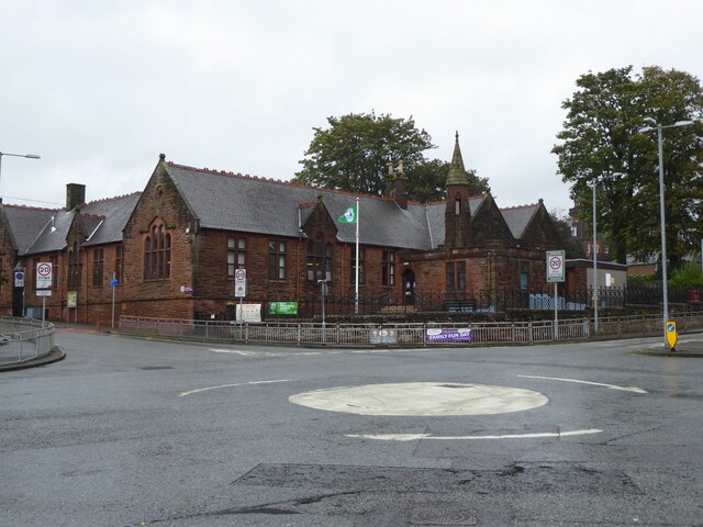
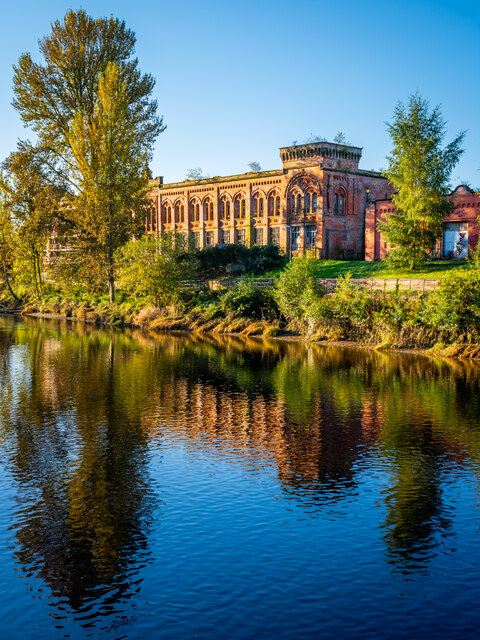
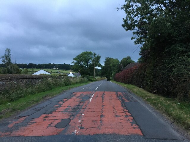
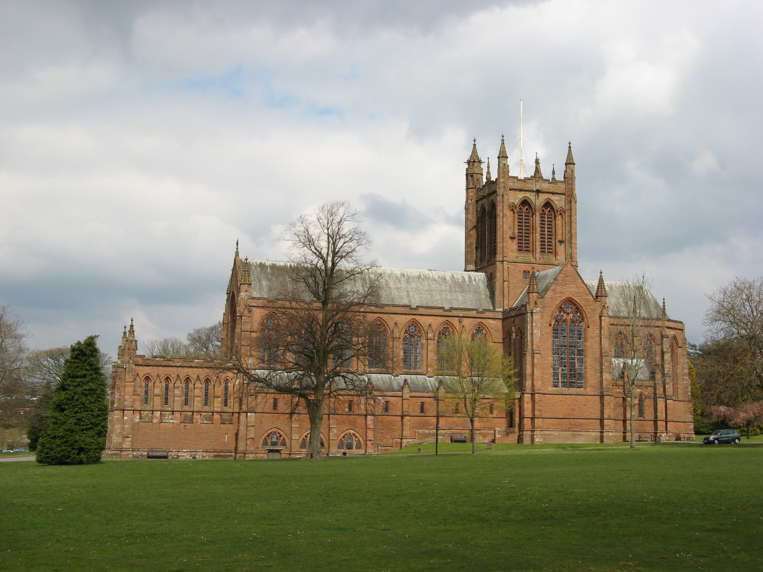
Kingholm Quay Images

Images are sourced within 2km of 55.04754/-3.59981 or Grid Reference NX9773. Thanks to Geograph Open Source API. All images are credited.

Crichton Memorial Church, Dumfries The non-denominational, cathedral-style Crichton Memorial Church is the focal point of the 85 acre Crichton Estate. The church, designed by Edinburgh architect Sydney Mitchell, was completed in 1897 for the Crichton Royal Hospital, a model psychiatric hospital, the gift of Elizabeth Crichton.  It is a Category A listed building (LB6695 <span class="nowrap"><a title="http://portal.historicenvironment.scot/designation/LB6695" rel="nofollow ugc noopener" href="http://portal.historicenvironment.scot/designation/LB6695">Link</a><img style="margin-left:2px;" alt="External link" title="External link - shift click to open in new window" src="https://s1.geograph.org.uk/img/external.png" width="10" height="10"/></span> Historic Environment Scotland).
Crichton Memorial Church, Dumfries
The non-denominational, cathedral-style Crichton Memorial Church is the focal point of the 85 acre Crichton Estate. The church, designed by Edinburgh architect Sydney Mitchell, was completed in 1897 for the Crichton Royal Hospital, a model psychiatric hospital, the gift of Elizabeth Crichton. It is a Category A listed building (LB6695 LinkExternal link Historic Environment Scotland).
The Crichton Gardens, Dumfries Part of the Crichton Estate, the Gardens were established in the early 1900s.
The Crichton Gardens, Dumfries
Part of the Crichton Estate, the Gardens were established in the early 1900s.
Boundary Stone, Graigs Road Parliamentary & Police Burgh boundary in 1900.

Milestone Society National ID: DF_DUMF02pb
Boundary Stone, Graigs Road
Parliamentary & Police Burgh boundary in 1900. Milestone Society National ID: DF_DUMF02pb
The Veterans’ Garden, Dumfries Based at the Crichton, The Veterans’ Garden is a registered charity whose aim is “The advancement of health through supporting service personnel suffering from PTSD and other service-related injuries“.
The Veterans’ Garden, Dumfries
Based at the Crichton, The Veterans’ Garden is a registered charity whose aim is “The advancement of health through supporting service personnel suffering from PTSD and other service-related injuries“.
Dumfries, The Veterans’ Garden Based at the Crichton, The Veterans’ Garden is a registered charity whose aim is “The advancement of health through supporting service personnel suffering from PTSD and other service-related injuries“.
Dumfries, The Veterans’ Garden
Based at the Crichton, The Veterans’ Garden is a registered charity whose aim is “The advancement of health through supporting service personnel suffering from PTSD and other service-related injuries“.
Cattle Grazing at Netherwood Farm
Netherwood Farm Access Track
The Crichton Memorial Church The non-denominational, cathedral-style Crichton Memorial Church is the focal point of the 85-acre Crichton Estate. The church, designed by Edinburgh architect Sydney Mitchell, was completed in 1897 for the Crichton Royal Hospital, a model psychiatric hospital, the gift of Elizabeth Crichton.  It is a Category A listed building (LB6695 <span class="nowrap"><a title="http://portal.historicenvironment.scot/designation/LB6695" rel="nofollow ugc noopener" href="http://portal.historicenvironment.scot/designation/LB6695">Link</a><img style="margin-left:2px;" alt="External link" title="External link - shift click to open in new window" src="https://s1.geograph.org.uk/img/external.png" width="10" height="10"/></span> Historic Environment Scotland).
The Crichton Memorial Church
The non-denominational, cathedral-style Crichton Memorial Church is the focal point of the 85-acre Crichton Estate. The church, designed by Edinburgh architect Sydney Mitchell, was completed in 1897 for the Crichton Royal Hospital, a model psychiatric hospital, the gift of Elizabeth Crichton. It is a Category A listed building (LB6695 LinkExternal link Historic Environment Scotland).
St Michael's Primary School Originally, the school began as a Church School attached to the South Free Territorial Church. The school opened in 1865 and provided a general education - including Latin, for some pupils.

'At St Michael’s Primary we aim to provide a secure, supportive and friendly environment in which the children will develop skills and experiences, which will allow them to reach their full potential.' <span class="nowrap"><a title="https://stmichaelsdumfries.dumgal.sch.uk/" rel="nofollow ugc noopener" href="https://stmichaelsdumfries.dumgal.sch.uk/">Link</a><img style="margin-left:2px;" alt="External link" title="External link - shift click to open in new window" src="https://s1.geograph.org.uk/img/external.png" width="10" height="10"/></span>
St Michael's Primary School
Originally, the school began as a Church School attached to the South Free Territorial Church. The school opened in 1865 and provided a general education - including Latin, for some pupils. 'At St Michael’s Primary we aim to provide a secure, supportive and friendly environment in which the children will develop skills and experiences, which will allow them to reach their full potential.' LinkExternal link
Advert at St Michael's Services garage Nith Inshore Rescue is an independent lifeboat serving the Dumfries area. We are based in Glencaple, 5 miles south of Dumfries in south-west Scotland, on the estuary of the River Nith close to where it joins the Solway Firth.
Advert at St Michael's Services garage
Nith Inshore Rescue is an independent lifeboat serving the Dumfries area. We are based in Glencaple, 5 miles south of Dumfries in south-west Scotland, on the estuary of the River Nith close to where it joins the Solway Firth.
Derelict Mill, Dumfries
Old Boundary Marker on the B726 Kingholm Road, Dumfries War Department Boundary Marker inscribed in a gatepost on the northwest side of the B726 Kingholm Road, Dumfries, where a footpath leaves towards the riverside. 

Milestone Society National ID: DF_WDKING02em
Old Boundary Marker on the B726 Kingholm Road, Dumfries
War Department Boundary Marker inscribed in a gatepost on the northwest side of the B726 Kingholm Road, Dumfries, where a footpath leaves towards the riverside. Milestone Society National ID: DF_WDKING02em
Old Boundary Marker by the A710, Maxwelltown parish Parish Boundary Marker by the A710, in parish of Maxwelltown (Dumfries and Galloway Council), North of Priestlands, opposite Broomlands Lodge at edge of town.

Surveyed

Milestone Society National ID: DF_MXT02pb
Old Boundary Marker by the A710, Maxwelltown parish
Parish Boundary Marker by the A710, in parish of Maxwelltown (Dumfries and Galloway Council), North of Priestlands, opposite Broomlands Lodge at edge of town. Surveyed Milestone Society National ID: DF_MXT02pb
Track to Netherwood Mains Track to Netherwood Mains.
Track to Netherwood Mains
Track to Netherwood Mains.
A710 at Islesteps
A710 at Islesteps
Looking to Criffel Looking over the River Nith towards Criffel on a cold winters afternoon.
Looking to Criffel
Looking over the River Nith towards Criffel on a cold winters afternoon.
A710 towards Dumfries
Kingholm Quay
Kingholm Quay
Show me another place!

Kingholm Quay is located at Grid Ref: NX9773 (Lat: 55.04754, Lng: -3.59981)

Unitary Authority: Dumfries and Galloway

Police Authority: Dumfries and Galloway

What 3 Words

///sparkles.intruding.badly. Near Dumfries, Dumfries & Galloway

Related Wikis

The Crichton

The Crichton is an institutional campus in Dumfries in southwest Scotland. It serves as a remote campus for the University of Glasgow, the University of...

Midpark Hospital

Midpark Hospital is a modern acute mental health unit located in Dumfries. The hospital is managed by NHS Dumfries and Galloway. == History == === Design... ===

Dumfries Castle

Dumfries Castle was a royal castle that was located in Dumfries, Scotland. It was sited by the River Nith, in the area now known as Castledykes Park.A...

Troqueer

Troqueer is a former village and a parish in the historic county of Kirkcudbrightshire in Dumfries and Galloway on the west side of the River Nith. The...

Nearby Amenities

Located within 500m of 55.04754,-3.59981
Source: PGS
Lat/Long: 55.0465096/-3.6073571
Created By: almien_coastlines
Source: PGS
Lat/Long: 55.0475565/-3.6072474
Source: PGS
Lat/Long: 55.0472792/-3.6069616
Created By: almien_coastlines
Source: PGS
Lat/Long: 55.0468077/-3.6065434
Source: PGS
Lat/Long: 55.0469442/-3.6053949
Source: PGS
Lat/Long: 55.0458364/-3.6061937
Source: PGS
Lat/Long: 55.0453061/-3.6062427
Bus Stop
Campus
Naptan AtcoCode: 680000011503
Naptan Bearing: SE
Naptan CommonName: Campus
Naptan Indicator: Mid Lodge
Naptan Landmark: Mid Lodge
Naptan NaptanCode: 34238946
Naptan ShortCommonName: Crichton Campus
Naptan Street: Campus Road
Naptan Verified: no
Source: naptan_import
Lat/Long: 55.0494876/-3.595003
Bus Stop
Loaning
Naptan AtcoCode: 680000014501
Naptan Bearing: SW
Naptan CommonName: Loaning
Naptan Indicator: Shelter
Naptan Landmark: Glenholm Place
Naptan NaptanCode: 34235382
Naptan Notes: none
Naptan PlusbusZoneRef: DUMFRES
Naptan Street: Kingholm Loaning
Naptan Verified: no
Source: naptan_import
Lat/Long: 55.0473269/-3.599963
Bus Stop
Millview
Naptan AtcoCode: 680000014502
Naptan Bearing: SE
Naptan BusStopType: CUS
Naptan CommonName: Millview
Naptan Indicator: layby
Naptan Landmark: Shearwater Road
Naptan NaptanCode: 34235383
Naptan Notes: none
Naptan PlusbusZoneRef: DUMFRES
Naptan Street: Millview
Naptan Verified: no
Source: naptan_import
Lat/Long: 55.0463069/-3.6010908
Bus Stop
Shearwater Crt
Naptan AtcoCode: 680000014503
Naptan Bearing: SW
Naptan CommonName: Shearwater Crt
Naptan Indicator: near Park
Naptan Landmark: Shearwater Court
Naptan NaptanCode: 34235384
Naptan Notes: none
Naptan Street: Laghall Court
Naptan Verified: no
Source: naptan_import
Lat/Long: 55.0453093/-3.6027844
Bus Stop
Laghall Crt
Naptan AtcoCode: 680000014504
Naptan Bearing: NW
Naptan CommonName: Laghall Crt
Naptan Indicator: Terminus
Naptan Landmark: Kingholm Loaning
Naptan NaptanCode: 34235385
Naptan Notes: none
Naptan Street: Laghall Court
Naptan Verified: no
Source: naptan_import
Lat/Long: 55.0458609/-3.604305
Bus Stop
Laghall Crt
Naptan AtcoCode: 680000014505
Naptan Bearing: SE
Naptan BusStopType: CUS
Naptan CommonName: Laghall Crt
Naptan Indicator: Opp Terminus
Naptan Landmark: Kingholm Loaning
Naptan NaptanCode: 34238934
Naptan Street: Laghall Court
Naptan Verified: no
Source: naptan_import
Lat/Long: 55.045808/-3.6040604
Bus Stop
Kingholm Rd
Naptan AtcoCode: 680000014506
Naptan Bearing: NE
Naptan BusStopType: CUS
Naptan CommonName: Kingholm Rd
Naptan Indicator: Opp Swan
Naptan Landmark: Swan Hotel
Naptan NaptanCode: 34238935
Naptan Street: Kingholm Road
Naptan Verified: no
Source: naptan_import
Lat/Long: 55.0470799/-3.6052323
Bus Stop
Kingholm Rd
Naptan AtcoCode: 680000014507
Naptan Bearing: SW
Naptan BusStopType: CUS
Naptan CommonName: Kingholm Rd
Naptan Indicator: Swan
Naptan Landmark: Swan Hotel
Naptan NaptanCode: 34238936
Naptan Street: Kingholm Road
Naptan Verified: no
Source: naptan_import
Lat/Long: 55.0465841/-3.6052968
Bus Stop
Shearwater Crt
Naptan AtcoCode: 680000014510
Naptan Bearing: NE
Naptan BusStopType: CUS
Naptan CommonName: Shearwater Crt
Naptan Indicator: Opp Park
Naptan Landmark: Shearwater Court
Naptan NaptanCode: 34238968
Naptan Street: Laghall Court
Naptan Verified: no
Source: naptan_import
Lat/Long: 55.0451813/-3.6027009
Bus Stop
Millview
Naptan AtcoCode: 680000014511
Naptan Bearing: N
Naptan BusStopType: CUS
Naptan CommonName: Millview
Naptan Indicator: Opp Layby
Naptan Landmark: Shearwater Road
Naptan NaptanCode: 34238969
Naptan Street: Millview
Naptan Verified: no
Source: naptan_import
Lat/Long: 55.0463011/-3.6013457
Bus Stop
Loaning
Naptan AtcoCode: 680000014512
Naptan Bearing: NE
Naptan BusStopType: CUS
Naptan CommonName: Loaning
Naptan Indicator: Opp Shelter
Naptan Landmark: Glenholm Place
Naptan NaptanCode: 34238972
Naptan Street: Kingholm Loaning
Naptan Verified: no
Source: naptan_import
Lat/Long: 55.0474696/-3.6000942
Bus Stop
Ladyfield
Naptan AtcoCode: 680000759111
Naptan Bearing: N
Naptan CommonName: Ladyfield
Naptan Indicator: no 6
Naptan Landmark: Kingholm Loaning
Naptan NaptanCode: 34235379
Naptan Notes: none
Naptan PlusbusZoneRef: DUMFRES
Naptan Street: Glencaple Road
Naptan Verified: no
Source: naptan_import
Lat/Long: 55.0487569/-3.5979482
Bus Stop
Ladyfield
Naptan AtcoCode: 680000759222
Naptan Bearing: S
Naptan BusStopType: CUS
Naptan CommonName: Ladyfield
Naptan Indicator: opp no 6
Naptan Landmark: Kingholm Loaning
Naptan NaptanCode: 34235378
Naptan Notes: none
Naptan PlusbusZoneRef: DUMFRES
Naptan Street: Glencaple Road
Naptan Verified: no
Source: naptan_import
Lat/Long: 55.0482778/-3.5974752
Ncn Milepost: mccoll
Sustrans Ref: MP352
Lat/Long: 55.0469593/-3.6062676
Turning Circle
Lat/Long: 55.0472014/-3.5986625
Post Box
Ref: DG1 44
Lat/Long: 55.0494153/-3.5985131
Post Box
Ref: DG1 76
Lat/Long: 55.0454244/-3.6027207
Crichton Car Park - Dumfries Cycle Hire Station
Source: gosmart
Lat/Long: 55.0485273/-3.5932986
BDS Digital
Addr Street: The Crichton
Office: company
Opening Hours: Mo-Fr 09:00-17:00
Phone: +44 1387 733060
Website: https://www.bdsdigital.net/
Lat/Long: 55.0487828/-3.5930059
Power: pole
Lat/Long: 55.0440437/-3.5953049
Power: pole
Lat/Long: 55.0449702/-3.5944692
Power: pole
Lat/Long: 55.0456473/-3.5940322
Power: pole
Lat/Long: 55.0457842/-3.5935446
Defibrillator
Defibrillator Location: External wall of Kingholm Quay Community Centre, right hand side of front door
Emergency: defibrillator
Indoor: no
Lat/Long: 55.0462651/-3.602782
Defibrillator
Defibrillator Location: External wall, to right hand side of entrance of Crichton Central
Emergency: defibrillator
Indoor: no
Ref GB The Circuit: 4E3886AE-A830-45E7-B2F2-AD6600EA512A
Lat/Long: 55.04848/-3.5925957
Defibrillator
Defibrillator Location: External wall, left hand side of pavilion entrance
Emergency: defibrillator
Indoor: no
Lat/Long: 55.0508482/-3.5981466
Power: pole
Lat/Long: 55.0514559/-3.6018503
Power: pole
Lat/Long: 55.0508538/-3.6013274
Power: pole
Lat/Long: 55.0516492/-3.6010363
Power: pole
Lat/Long: 55.0500776/-3.6015747
Power: pole
Lat/Long: 55.0491686/-3.6019018
Power: pole
Lat/Long: 55.0483836/-3.6021671
Power: pole
Lat/Long: 55.0477018/-3.6028936
Power: pole
Lat/Long: 55.0488927/-3.6016185
Power: pole
Lat/Long: 55.0493944/-3.6010955
Power: pole
Lat/Long: 55.0495818/-3.6001914
Power: pole
Lat/Long: 55.0498356/-3.5989884
Power: pole
Lat/Long: 55.0469181/-3.5964102
Power: pole
Lat/Long: 55.046383/-3.5958848
Power: pole
Lat/Long: 55.0456974/-3.5951683
The data included in this document is from www.openstreetmap.org. The data is made available under ODbL.

Have you been to Kingholm Quay?

Leave your review of Kingholm Quay below (or comments, questions and feedback).