Blue Brae
Wood, Forest in West Lothian
Scotland
Blue Brae
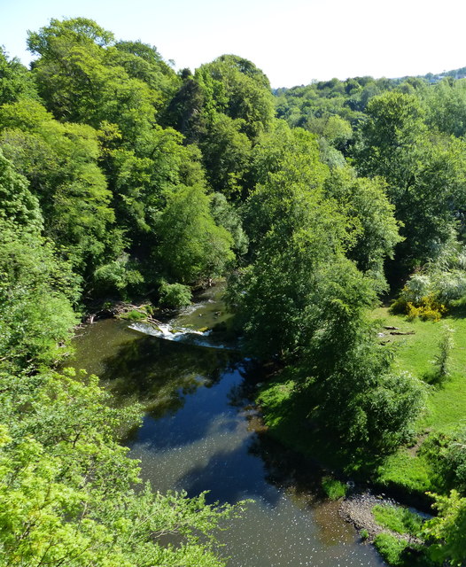
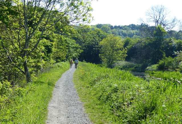
Blue Brae is a picturesque wooded area located in West Lothian, Scotland. Situated amidst the stunning surroundings of the Scottish countryside, this forested region is a haven for nature enthusiasts and outdoor lovers. Blue Brae covers a vast expanse of land, boasting an array of diverse flora and fauna.
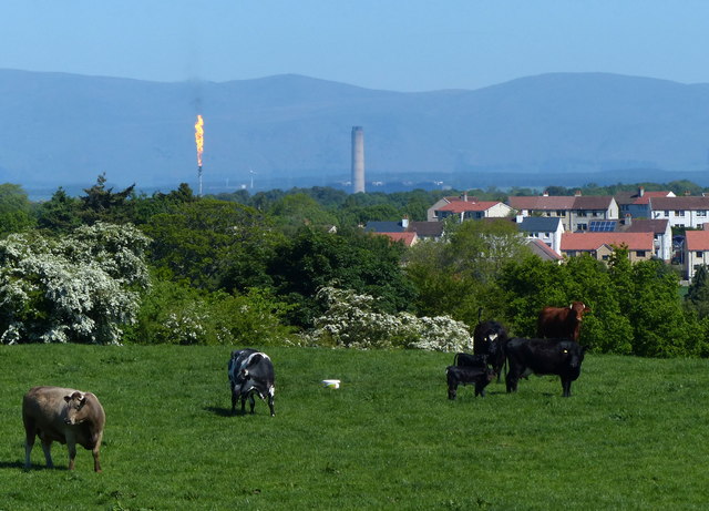
The woodland is primarily composed of native trees such as oak, birch, and pine, which create a dense and enchanting canopy. The forest floor is adorned with vibrant wildflowers, adding a splash of color to the serene landscape. This natural habitat provides a sanctuary for numerous animal species, including red squirrels, roe deer, and a variety of bird species.
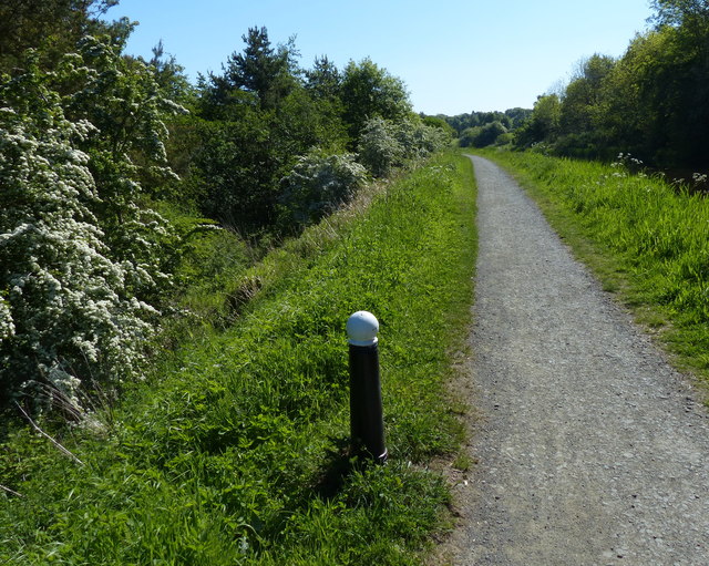
Tranquil walking trails wind through the woods, offering visitors the opportunity to immerse themselves in the beauty of nature. These paths are well-maintained and provide excellent opportunities for hiking, jogging, or simply enjoying a leisurely stroll. The forest is also a popular spot for birdwatching, with several species of birds making their home in the area.
Blue Brae is a fantastic destination for those seeking a peaceful retreat or a chance to reconnect with nature. The forest is easily accessible, with ample parking available nearby. Whether it's a family outing, a solo adventure, or a romantic getaway, Blue Brae offers a serene and idyllic setting for all.
If you have any feedback on the listing, please let us know in the comments section below.
Blue Brae Images
Images are sourced within 2km of 55.965078/-3.6515228 or Grid Reference NS9775. Thanks to Geograph Open Source API. All images are credited.


Blue Brae is located at Grid Ref: NS9775 (Lat: 55.965078, Lng: -3.6515228)
Unitary Authority: West Lothian
Police Authority: The Lothians and Scottish Borders
What 3 Words
///topic.superbly.charcoal. Near Linlithgow, West Lothian
Related Wikis
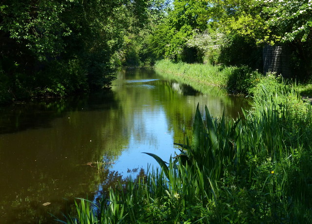
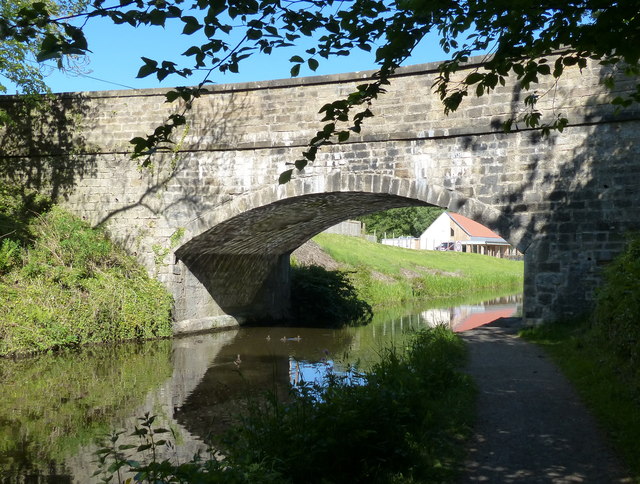
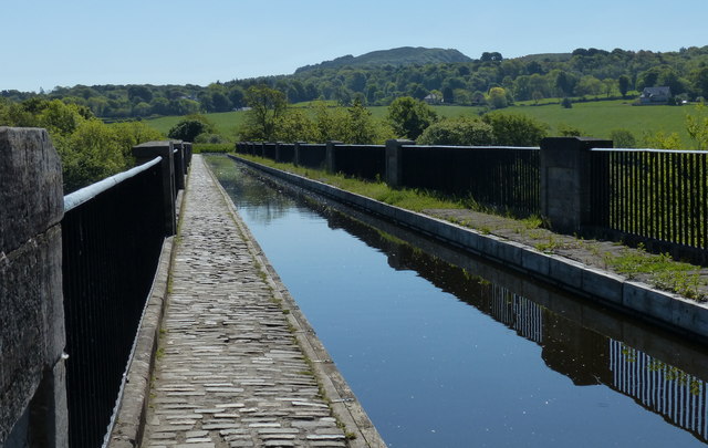
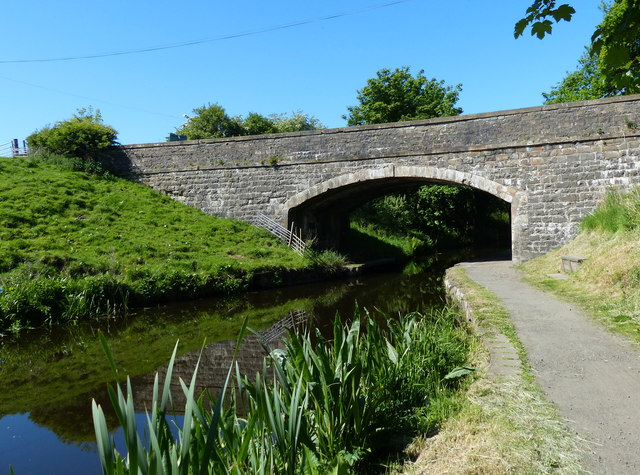
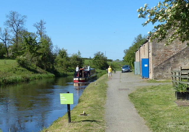
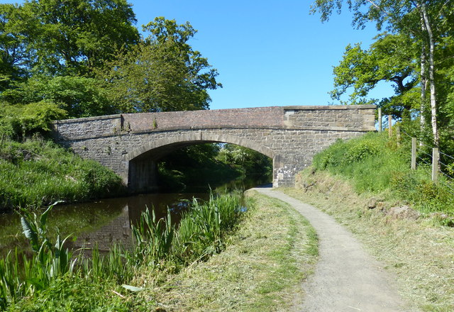
Avon Aqueduct
The Avon Aqueduct is a navigable aqueduct that carries the Union Canal over the River Avon, near Linlithgow, Scotland. == History == The aqueduct was built...
Muiravonside Country Park
Muiravonside Country Park is 170 acres of woodland and parkland open to the public all year round with marked trails, picnic sites and a play area. It...

Whitecross, Falkirk
Whitecross is a small village within the Falkirk council area, close to the boundary of West Lothian council in Scotland. It lies 2.0 miles (3.2 km) west...

Battle of Linlithgow Bridge
The Battle of Linlithgow Bridge is a battle that took place on 4 September 1526 in the village of Linlithgow Bridge, outside the Scottish town of Linlithgow...
Manuel Junction
Manuel Junction is a railway junction near the village of Whitecross, Falkirk, Scotland. It is the terminus of the Bo'ness and Kinneil Railway (operated...
Bo'ness Junction rail crash
Bo'ness Junction rail crash occurred at Bo'ness Junction in Falkirk.The junction lies on the Edinburgh and Glasgow Railway between Falkirk and Linlithgow...

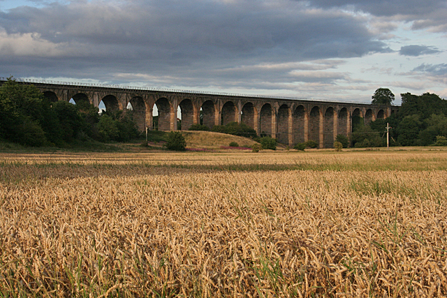
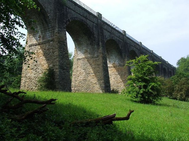
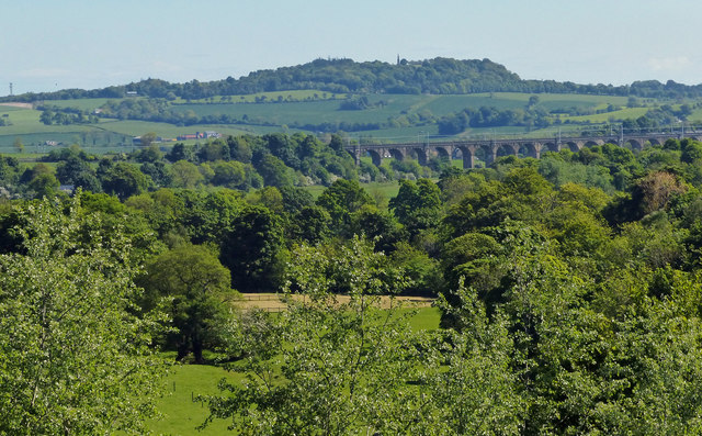
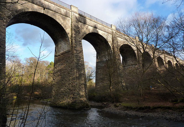
Avon Viaduct, Linlithgow
The Avon Viaduct carries the railway over the River Avon at Linlithgow, West Lothian, Scotland. The 442-yard (404 m), 23-arch bridge was built in 1839...
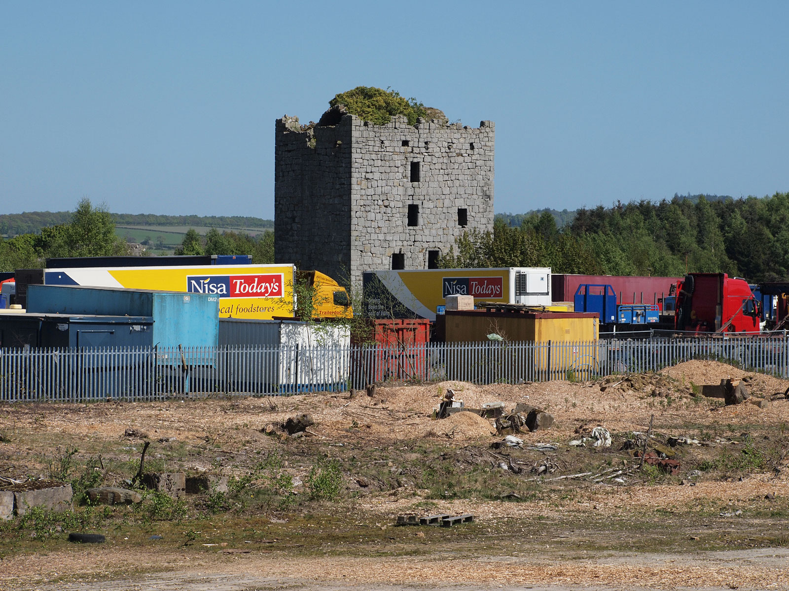
Almond Castle
Almond Castle is a ruined L-plan castle dating from the 15th century. It is located 3 miles (4.8 km) west of Linlithgow, and north of the Union Canal,...
Nearby Amenities
Located within 500m of 55.965078,-3.6515228Have you been to Blue Brae?
Leave your review of Blue Brae below (or comments, questions and feedback).