Kelly Wood
Wood, Forest in Perthshire
Scotland
Kelly Wood

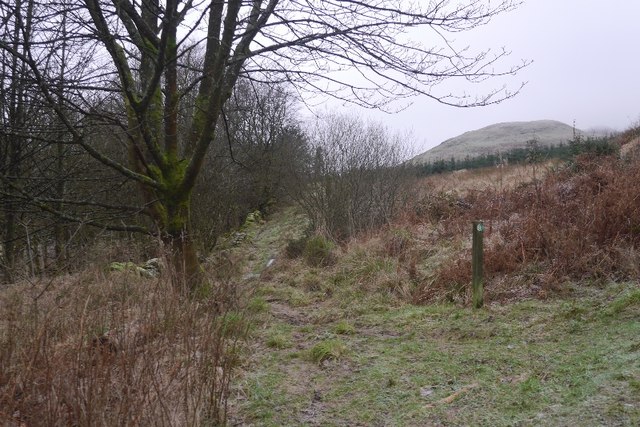
Kelly Wood is a picturesque forest located in the county of Perthshire, Scotland. Covering an area of approximately 300 acres, this enchanting woodland is a popular destination for nature lovers and outdoor enthusiasts alike.
The forest is predominantly composed of native Scottish trees, including oak, birch, and pine, creating a diverse and vibrant ecosystem. The lush vegetation provides a habitat for various wildlife species, such as red squirrels, roe deer, and a wide variety of bird species, making it a haven for wildlife enthusiasts and birdwatchers.
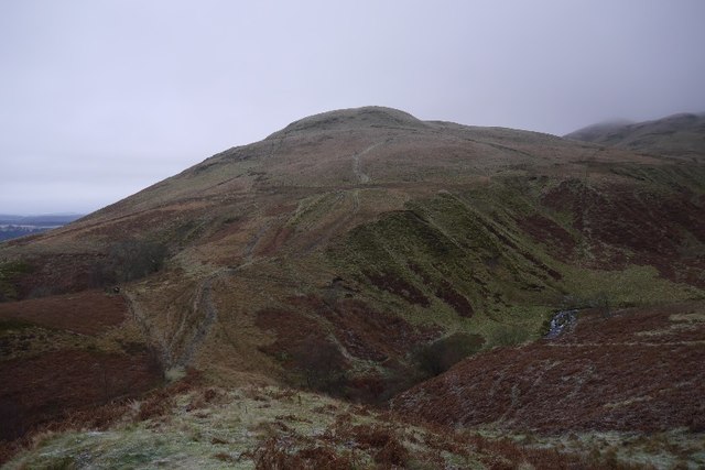
Visitors to Kelly Wood can explore the numerous woodland trails that wind their way through the forest, offering breathtaking views of the surrounding countryside. The trails cater to different levels of fitness and provide a peaceful and tranquil setting for walkers, joggers, and cyclists. Along the paths, visitors may encounter babbling brooks, secluded picnic spots, and hidden glens, adding to the charm and allure of the woodland.
The forest also has a rich history, with remnants of ancient settlements and archaeological sites scattered throughout. It is believed that the area has been inhabited for thousands of years, and evidence of this can be seen in the form of stone circles and burial mounds.
Kelly Wood is easily accessible, with well-maintained parking areas and signposted entrances. It is open year-round, allowing visitors to experience the changing seasons and the vibrant colors of autumn or the fresh blossoms of spring.
Overall, Kelly Wood is a captivating and inviting forest that offers a sanctuary for nature lovers, history enthusiasts, and individuals seeking solace in the beauty of the natural world.
If you have any feedback on the listing, please let us know in the comments section below.
Kelly Wood Images
Images are sourced within 2km of 56.171929/-3.6620211 or Grid Reference NS9698. Thanks to Geograph Open Source API. All images are credited.


Kelly Wood is located at Grid Ref: NS9698 (Lat: 56.171929, Lng: -3.6620211)
Unitary Authority: Clackmannanshire
Police Authority: Forth Valley
What 3 Words
///efficient.park.cookery. Near Dollar, Clackmannanshire
Nearby Locations
Related Wikis

Dollar Glen
Dollar Glen is a small glen (valley) owned by the National Trust for Scotland. It is located in the Ochils that dramatically mark the Highland fault. It...
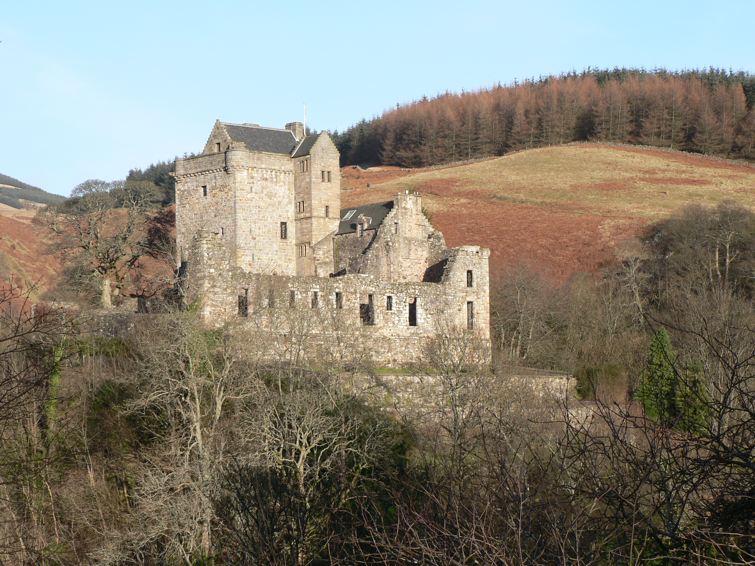
Castle Campbell
Castle Campbell is a medieval castle situated above the town of Dollar, Clackmannanshire, in central Scotland. It was the lowland seat of the earls and...

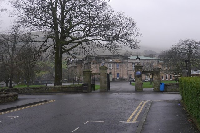
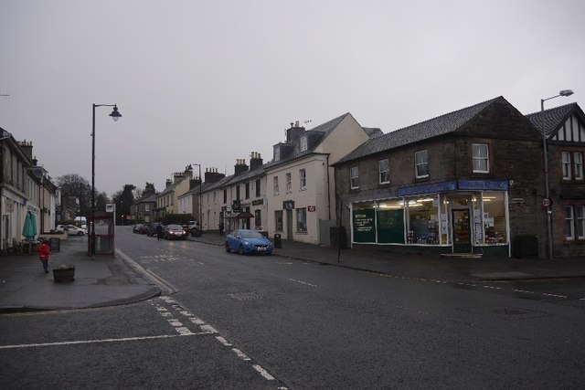
Dollar, Clackmannanshire
Dollar (Scottish Gaelic: Dolair) is a small town with a population of 2,800 people in Clackmannanshire, Scotland. It is 12 miles (19 kilometres) east of...

Dollar railway station
Dollar railway station served the village of Dollar, Clackmannanshire, Scotland from 1869 to 1964 on the Devon Valley Railway. == History == The station...
Nearby Amenities
Located within 500m of 56.171929,-3.6620211Have you been to Kelly Wood?
Leave your review of Kelly Wood below (or comments, questions and feedback).