Westend Wood
Wood, Forest in Lanarkshire
Scotland
Westend Wood
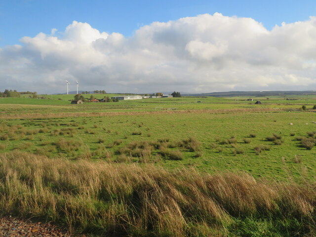
Westend Wood is a picturesque forest located in Lanarkshire, Scotland. Covering an area of approximately 100 acres, this woodland is a popular destination for nature enthusiasts and outdoor lovers alike.
The wood is characterized by its diverse range of tree species, including oak, birch, beech, and pine. These trees create a lush and vibrant canopy, providing a tranquil and peaceful environment for visitors to enjoy. The forest floor is adorned with an abundance of flora, such as bluebells, ferns, and wildflowers, adding to its natural beauty.
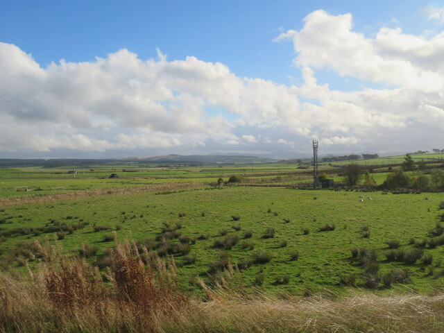
A network of well-maintained walking trails weaves through Westend Wood, allowing visitors to explore the area at their own pace. These paths lead to various points of interest within the forest, including a small pond that is home to a variety of aquatic life. The gentle babbling of nearby streams further enhances the serene atmosphere.
This woodland also attracts a wide range of wildlife, providing ample opportunities for wildlife spotting. Birdwatchers may be lucky enough to spot species such as woodpeckers, owls, and various songbirds. Squirrels and rabbits are also commonly sighted throughout the forest.
Facilities at Westend Wood include ample parking, picnic areas, and well-maintained restroom facilities. The wood is easily accessible by both car and public transportation, making it a popular destination for locals and tourists alike.
Overall, Westend Wood is a captivating natural haven, offering visitors the chance to immerse themselves in the beauty of nature while enjoying a peaceful and refreshing outdoor experience.
If you have any feedback on the listing, please let us know in the comments section below.
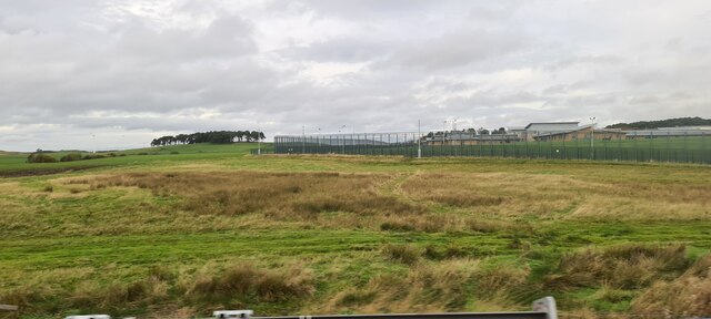
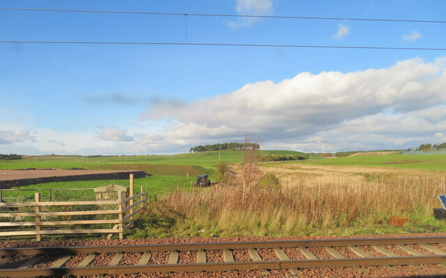
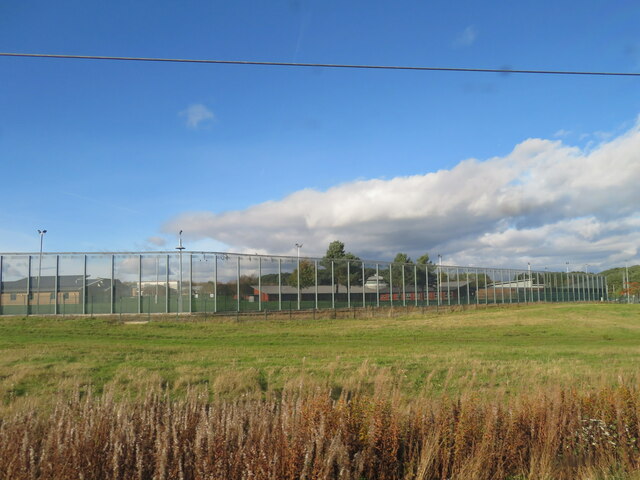
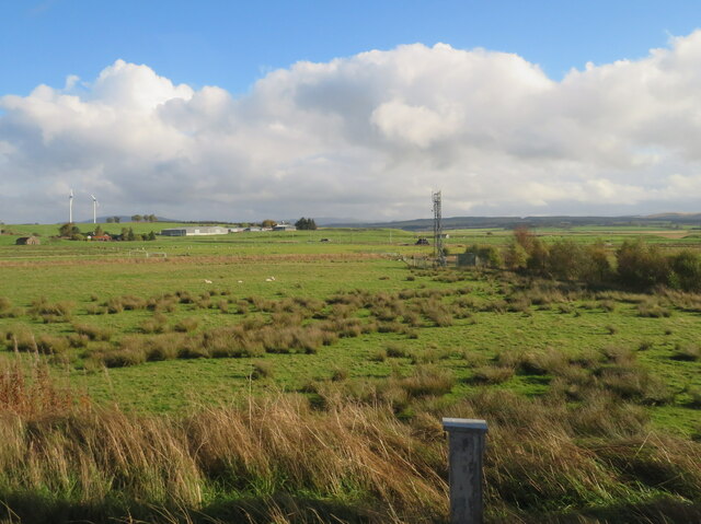
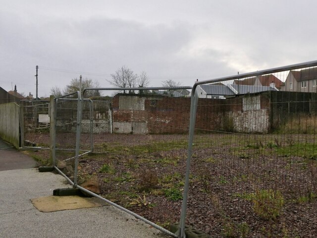
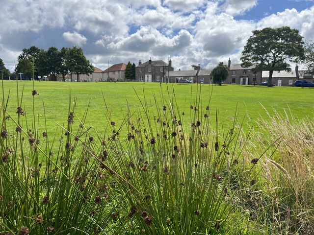
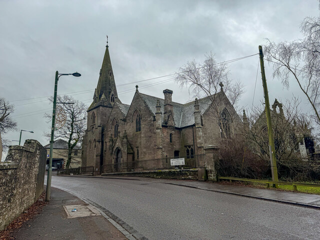
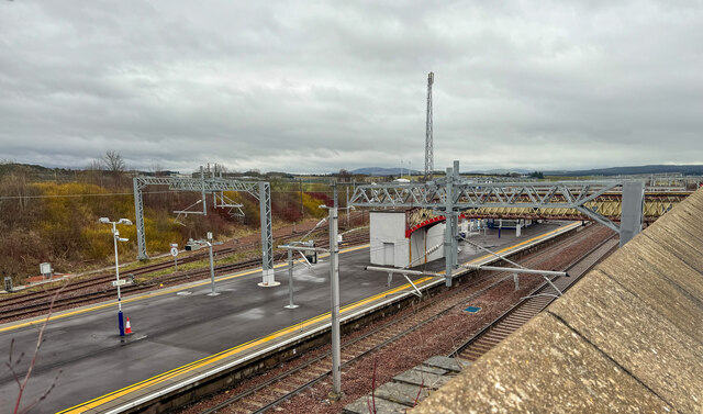
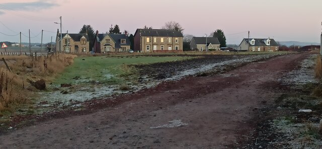
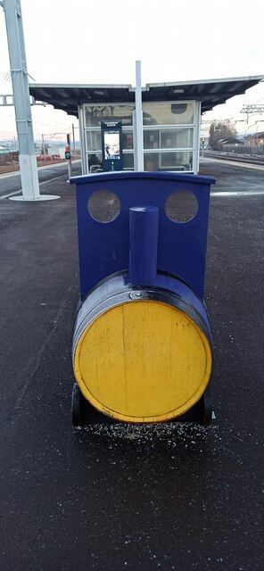
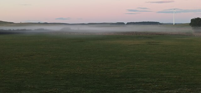
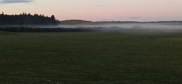
Westend Wood Images
Images are sourced within 2km of 55.703048/-3.6467369 or Grid Reference NS9646. Thanks to Geograph Open Source API. All images are credited.


Westend Wood is located at Grid Ref: NS9646 (Lat: 55.703048, Lng: -3.6467369)
Unitary Authority: South Lanarkshire
Police Authority: Lanarkshire
What 3 Words
///mailings.swoop.upholds. Near Carnwath, South Lanarkshire
Nearby Locations
Related Wikis
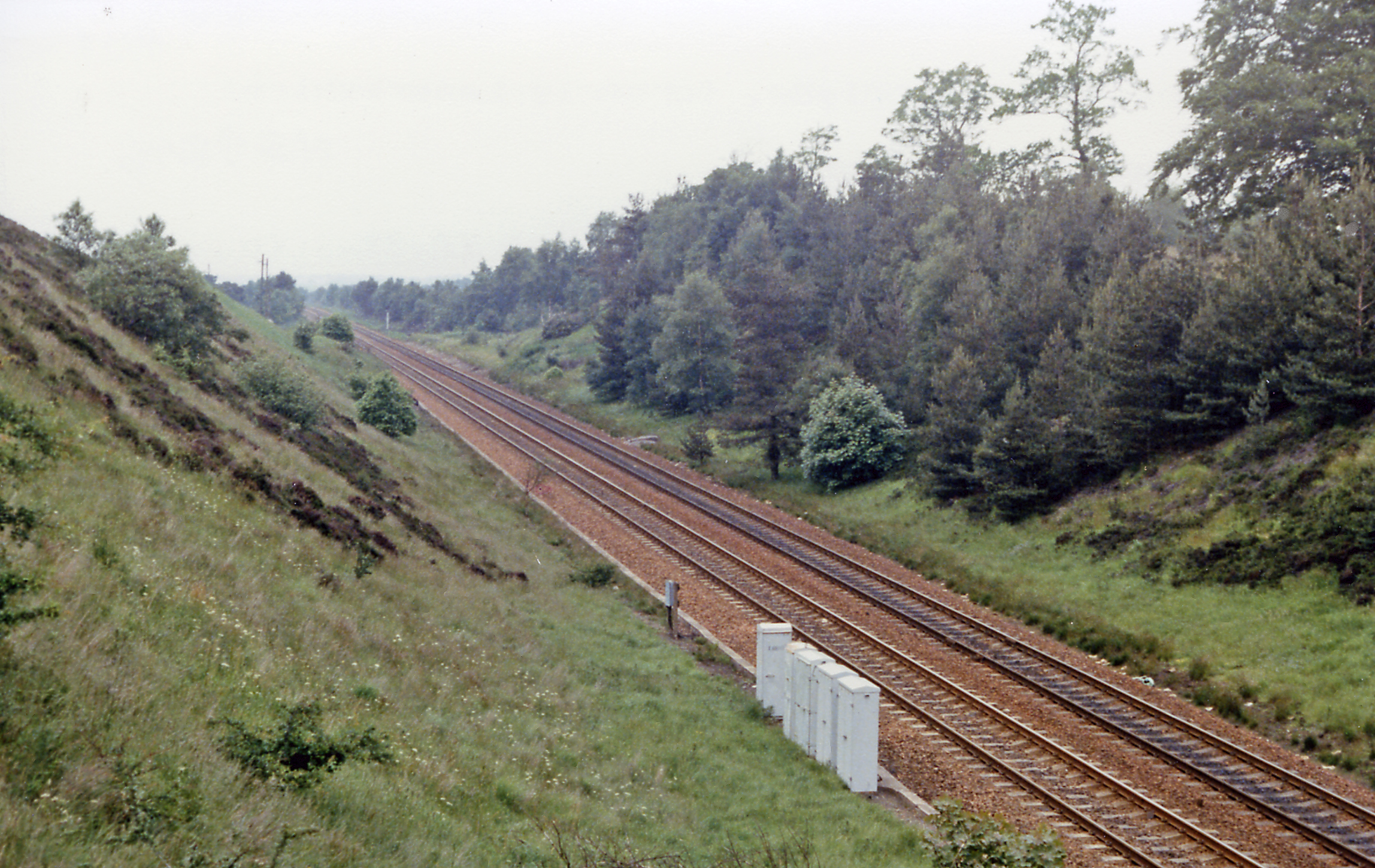
Carnwath railway station
Carnwath railway station was located just west of the village of Carnwath, on the Caledonian Railway line between Carstairs railway station and Edinburgh...
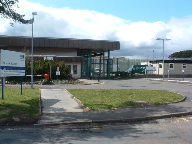
State Hospital
The State Hospital (also known as Carstairs Hospital, or simply Carstairs) is a psychiatric hospital in the village of Carstairs, in South Lanarkshire...
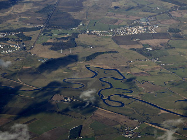
Carnwath
Carnwath (Gaelic: A' Chathair Nuadh; English: "New Fort") is a moorland village on the southern edge of the Pentland Hills of South Lanarkshire, Scotland...

Carstairs railway station
Carstairs railway station serves the village of Carstairs in South Lanarkshire, Scotland and is a major junction station on the West Coast Main Line (WCML...

Carstairs Junction
Carstairs Junction (Scottish Gaelic: Snaim Caisteal Tarrais) is a village in South Lanarkshire. Taking its name from the village of Carstairs and nearby...

Bankhead (Lanarkshire) railway station
Bankhead railway station served the isolated settlement of Bankhead, east of Carstairs Junction in South Lanarkshire, Scotland from 1867 to 1945 on the...
Carstairs Castle
Carstairs Castle was a stronghold in the east of Carstairs, a short distance from the current site of Carstairs Parish Church. Now long gone, it dates...

Carstairs
Carstairs (, Scottish Gaelic: Caisteal Tarrais) is a village in South Lanarkshire, Scotland. Carstairs is located 5 miles (8 kilometres) east of the county...
Nearby Amenities
Located within 500m of 55.703048,-3.6467369Have you been to Westend Wood?
Leave your review of Westend Wood below (or comments, questions and feedback).