West End
Settlement in Lanarkshire
Scotland
West End
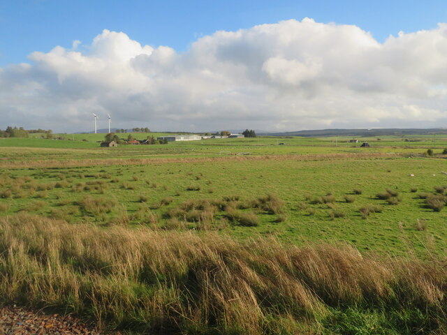
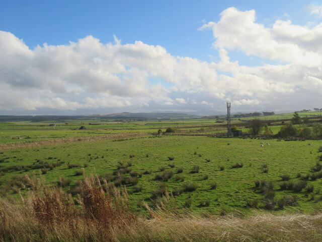
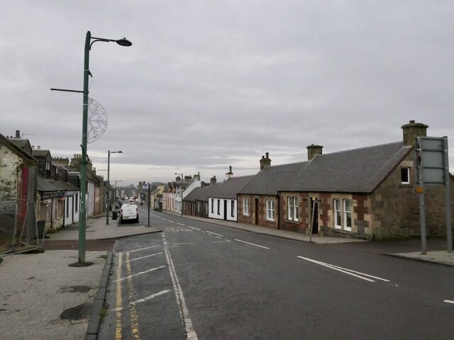
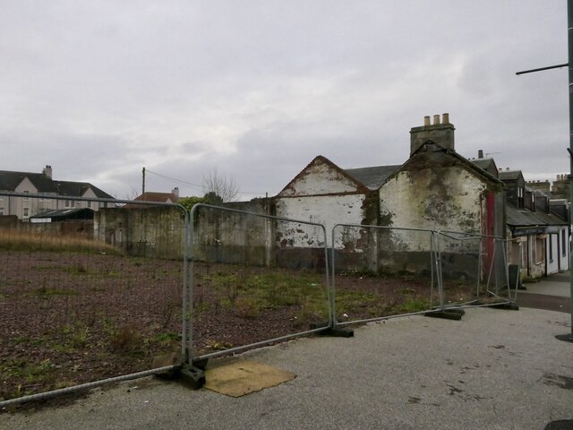
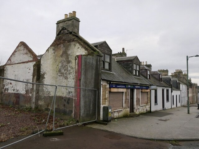
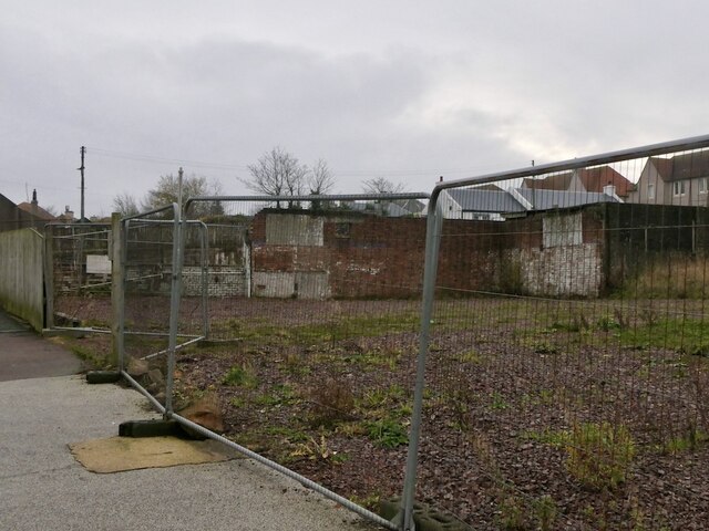
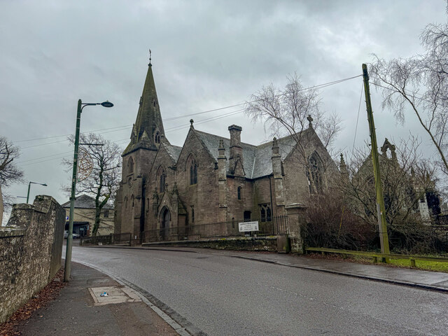
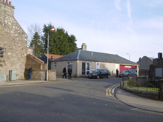
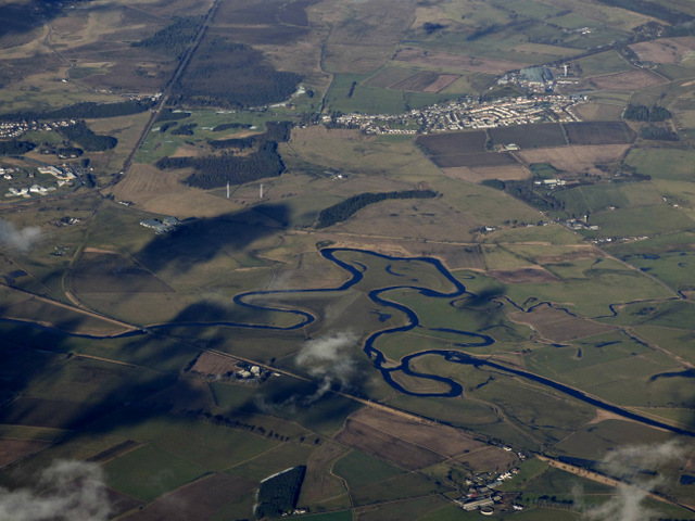
West End is a residential area located in the town of Lanarkshire, Scotland. Situated in the western part of the town, it is known for its charming atmosphere and close-knit community. The area is mostly residential, with a mix of traditional stone-built houses and modern apartment complexes.
West End offers a range of amenities and facilities to cater to the needs of its residents. There are several local shops, supermarkets, and convenience stores within walking distance, providing easy access to daily necessities. Additionally, a variety of cafes, restaurants, and pubs can be found in the area, offering a diverse culinary scene.
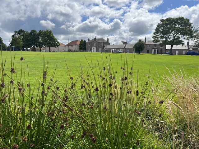
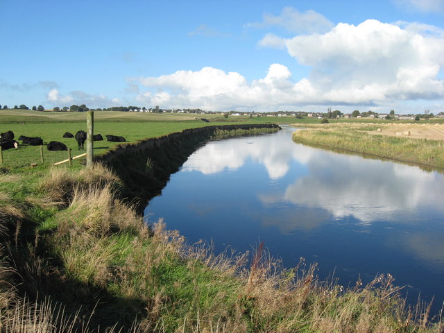
For recreation and leisure activities, West End has numerous parks and green spaces. These provide opportunities for outdoor activities, such as jogging, picnicking, and playing sports. Additionally, the nearby Lanarkshire countryside offers beautiful landscapes for hiking and exploring nature.
Transportation in West End is convenient, with good connectivity to the rest of Lanarkshire and nearby towns. Bus services run regularly, providing easy access to the town center and surrounding areas. The area also benefits from its proximity to major road networks, making it easily accessible by car.
Overall, West End, Lanarkshire is a desirable residential area with a friendly community and a range of amenities. Its convenient location, coupled with its recreational opportunities, make it an attractive place to live for individuals and families alike.
If you have any feedback on the listing, please let us know in the comments section below.
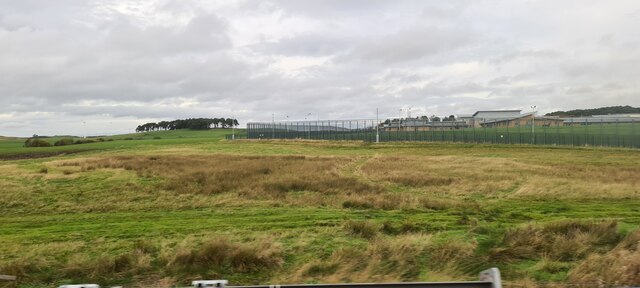
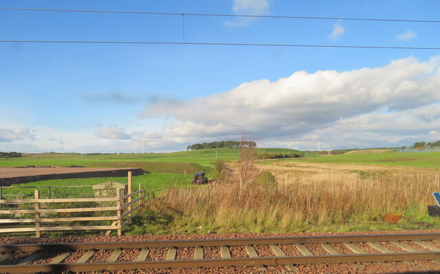
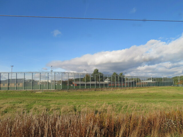
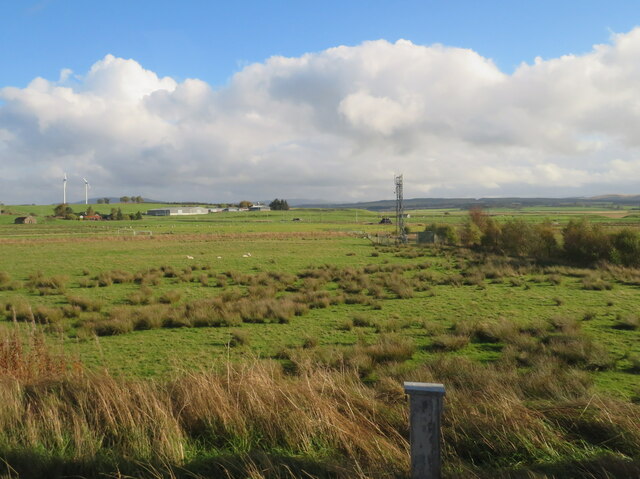
West End Images
Images are sourced within 2km of 55.701555/-3.6494907 or Grid Reference NS9646. Thanks to Geograph Open Source API. All images are credited.
West End is located at Grid Ref: NS9646 (Lat: 55.701555, Lng: -3.6494907)
Unitary Authority: South Lanarkshire
Police Authority: Lanarkshire
What 3 Words
///deform.stub.skipped. Near Carnwath, South Lanarkshire
Nearby Locations
Related Wikis
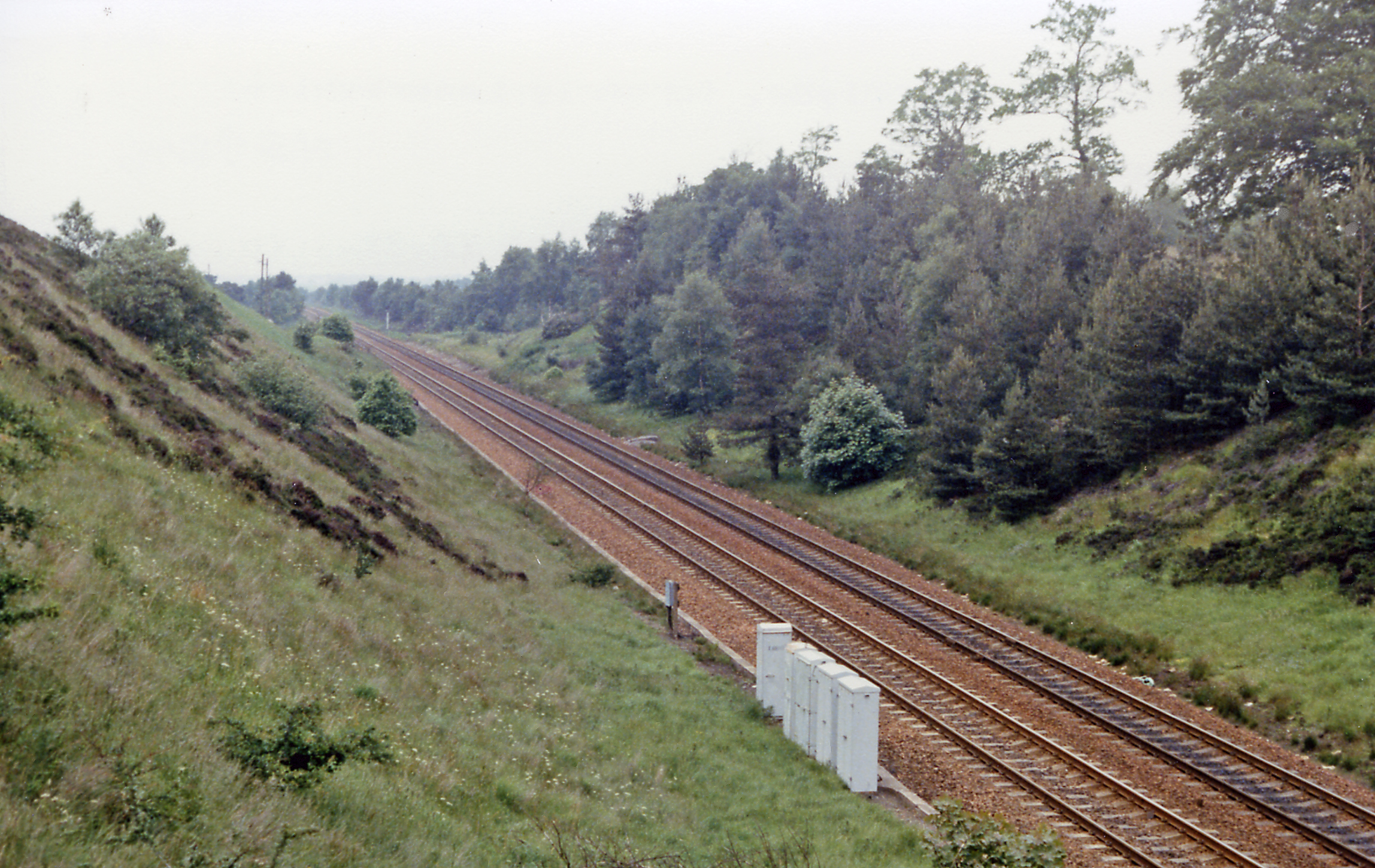
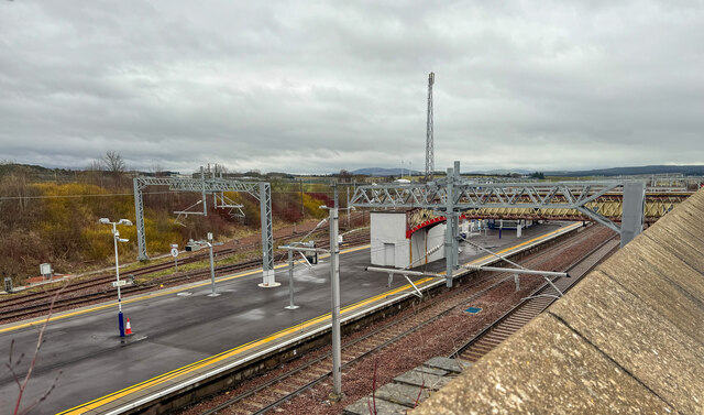
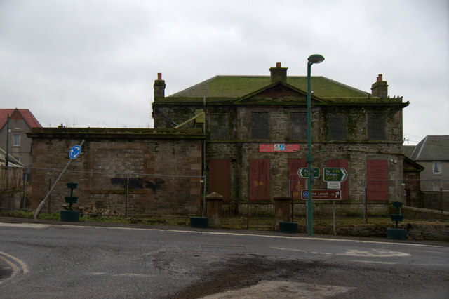
Carnwath railway station
Carnwath railway station was located just west of the village of Carnwath, on the Caledonian Railway line between Carstairs railway station and Edinburgh...
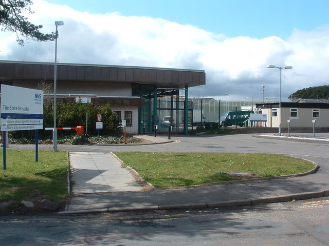
State Hospital
The State Hospital (also known as Carstairs Hospital, or simply Carstairs) is a psychiatric hospital in the village of Carstairs, in South Lanarkshire...
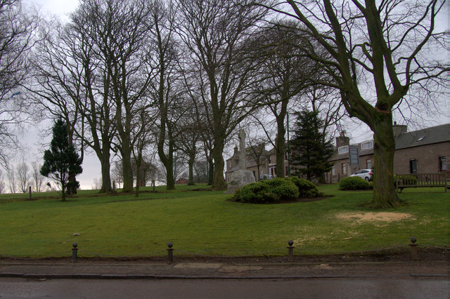
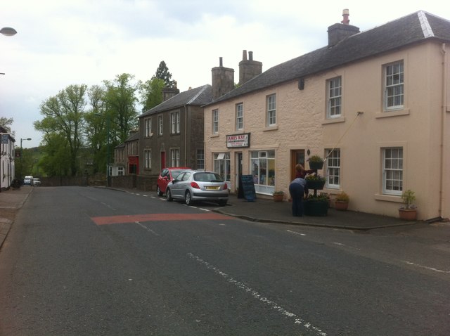
Carnwath
Carnwath (Gaelic: A' Chathair Nuadh; English: "New Fort") is a moorland village on the southern edge of the Pentland Hills of South Lanarkshire, Scotland...

Carstairs railway station
Carstairs railway station serves the village of Carstairs in South Lanarkshire, Scotland and is a major junction station on the West Coast Main Line (WCML...

Carstairs Junction
Carstairs Junction (Scottish Gaelic: Snaim Caisteal Tarrais) is a village in South Lanarkshire. Taking its name from the village of Carstairs and nearby...

Carstairs Castle
Carstairs Castle was a stronghold in the east of Carstairs, a short distance from the current site of Carstairs Parish Church. Now long gone, it dates...
Bankhead (Lanarkshire) railway station
Bankhead railway station served the isolated settlement of Bankhead, east of Carstairs Junction in South Lanarkshire, Scotland from 1867 to 1945 on the...

Carstairs
Carstairs (, Scottish Gaelic: Caisteal Tarrais) is a village in South Lanarkshire, Scotland. Carstairs is located 5 miles (8 kilometres) east of the county...
Nearby Amenities
Located within 500m of 55.701555,-3.6494907Have you been to West End?
Leave your review of West End below (or comments, questions and feedback).