Burnbrae Wood
Wood, Forest in Fife
Scotland
Burnbrae Wood

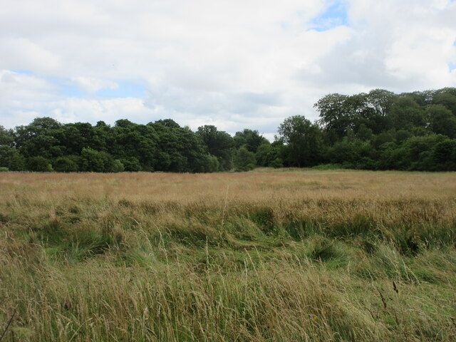
Burnbrae Wood is a pristine forest located in Fife, Scotland. Covering an area of approximately 100 acres, this enchanting woodland offers visitors a tranquil and picturesque retreat. The wood is situated near the village of Falkland, just a short distance from the renowned Falkland Palace.
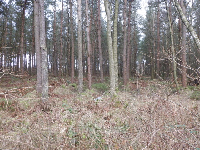
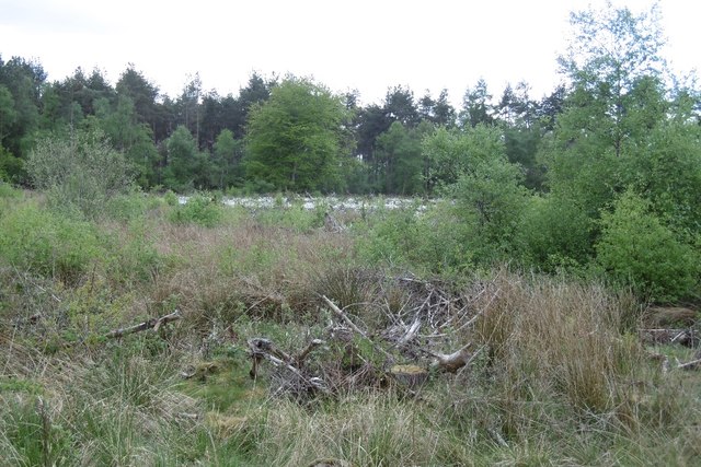
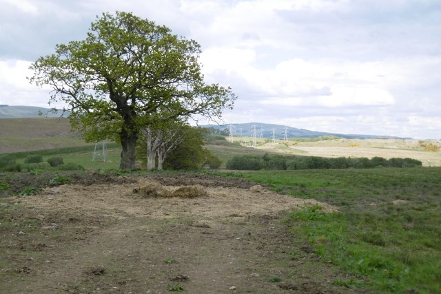
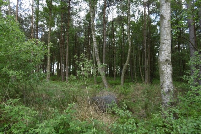
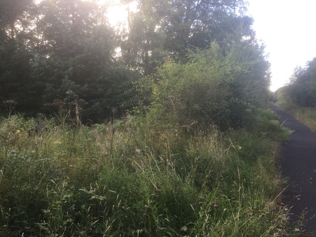
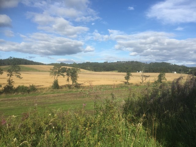
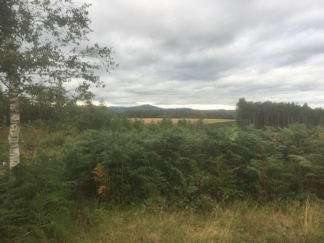
The wood boasts a diverse range of tree species, including oak, birch, and beech, which create a rich and vibrant canopy overhead. The forest floor is adorned with a variety of wildflowers, ferns, and mosses, creating a stunning tapestry of colors and textures.
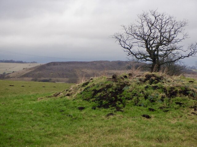
Burnbrae Wood is home to a wide array of wildlife, making it a haven for nature enthusiasts. Visitors may be fortunate enough to spot red squirrels, roe deer, and a multitude of bird species, including woodpeckers and owls. The wood also boasts a small pond, attracting various amphibians and insects.
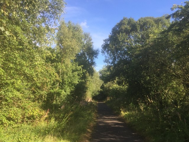
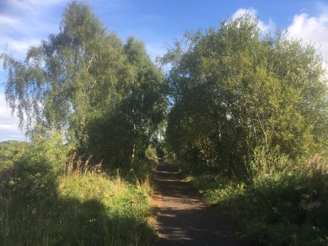
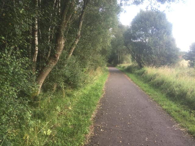
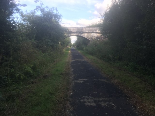
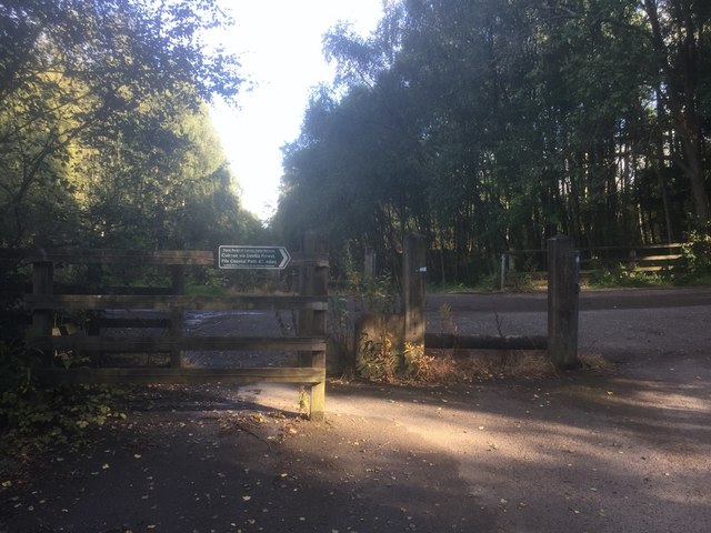
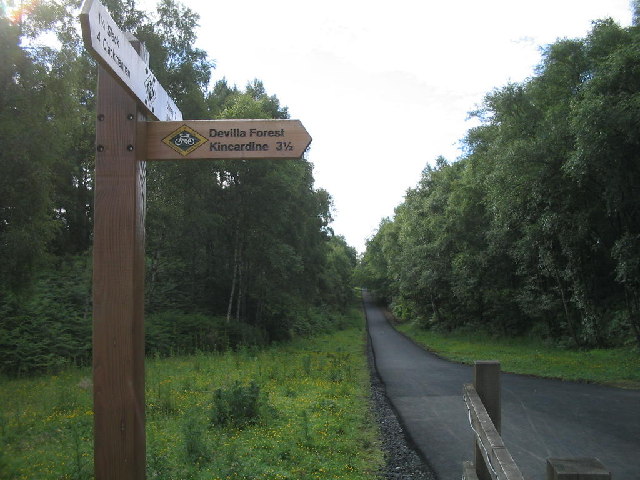
Several well-maintained walking trails meander through the forest, providing visitors with the opportunity to explore its natural beauty. These paths range in difficulty, catering to both casual walkers and more experienced hikers. Along the way, informative signage educates visitors about the woodland's flora and fauna, enhancing the overall experience.
The wood is an ideal destination for those seeking solace in nature, as well as for families looking to spend quality time outdoors. It offers ample space for picnics, with designated areas equipped with benches and tables. Additionally, the wood is easily accessible, with a nearby car park providing convenient parking for visitors.
Overall, Burnbrae Wood is a captivating and well-preserved forest that showcases the natural beauty of Fife. Its diverse ecosystem, scenic trails, and abundant wildlife make it a must-visit destination for nature lovers and outdoor enthusiasts alike.
If you have any feedback on the listing, please let us know in the comments section below.
Burnbrae Wood Images
Images are sourced within 2km of 56.105813/-3.6698953 or Grid Reference NS9691. Thanks to Geograph Open Source API. All images are credited.


Burnbrae Wood is located at Grid Ref: NS9691 (Lat: 56.105813, Lng: -3.6698953)
Unitary Authority: Fife
Police Authority: Fife
What 3 Words
///horseshoe.knees.banana. Near Clackmannan, Clackmannanshire
Nearby Locations
Related Wikis

Brucefield House
Brucefield is an 18th-century country house in Clackmannanshire, Scotland. It is located 4 kilometres (2.5 mi) east of Clackmannan. The house was largely...

Bogside (Fife) railway station
Bogside (Fife) railway station served the hamlet of Bogside, Fife, Scotland from 1850 to 1958 on the Stirling and Dunfermline Railway. == History == The...
Forestmill
Forestmill (or Forest Mill) is a small hamlet in the county of Clackmannanshire, Scotland. It is situated on the A977 road between Kincardine and Kinross...

Forest Mill railway station
Forest Mill railway station served the hamlet of Forestmill, Clackmannanshire, Scotland from 1850 to 1930 on the Stirling and Dunfermline Railway. ��2...
Kilbagie railway station
Kilbagie railway station served the town of Clackmannan, Clackmannanshire, Scotland from 1894 to 1930 on the Kincardine Line. == History == The station...
Kennet, Clackmannanshire
Kennet is a small former coal-mining village in Clackmannanshire, Scotland. It is located 1.5 kilometres (0.93 mi) south-east of Clackmannan, by the Kincardine...

Balgownie Wood
Balgownie Wood is a woodland in West Fife, Scotland, south of the village of Blairhall and east of Balgownie Mains. The woods used to belong to nearby...
Clackmannan Road railway station
Clackmannan Road railway station served the town of Clackmannan, Clackmannanshire, Scotland from 1850 to 1921 on the Stirling and Dunfermline Railway....
Nearby Amenities
Located within 500m of 56.105813,-3.6698953Have you been to Burnbrae Wood?
Leave your review of Burnbrae Wood below (or comments, questions and feedback).