Kilndub Plantation

Wood, Forest in Dumfriesshire

Scotland

Kilndub Plantation

Foresters' Hall With fine views over Nithsdale.
Foresters' Hall Credit: Russel Wills

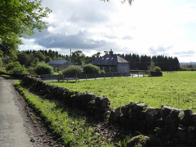
Kilndub Plantation is a picturesque woodland located in Dumfriesshire, Scotland. Covering a vast area of approximately 500 acres, it is nestled within the beautiful landscape of the region. The plantation is predominantly made up of mixed coniferous and deciduous trees, creating a diverse and enchanting forest.

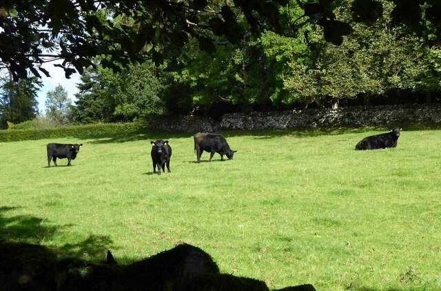
The woodland is home to a wide array of flora and fauna, making it a haven for nature lovers and wildlife enthusiasts. The dense canopy of trees provides a habitat for various bird species, including woodpeckers, owls, and numerous songbirds. Small mammals, such as squirrels and rabbits, can also be spotted scurrying through the undergrowth.

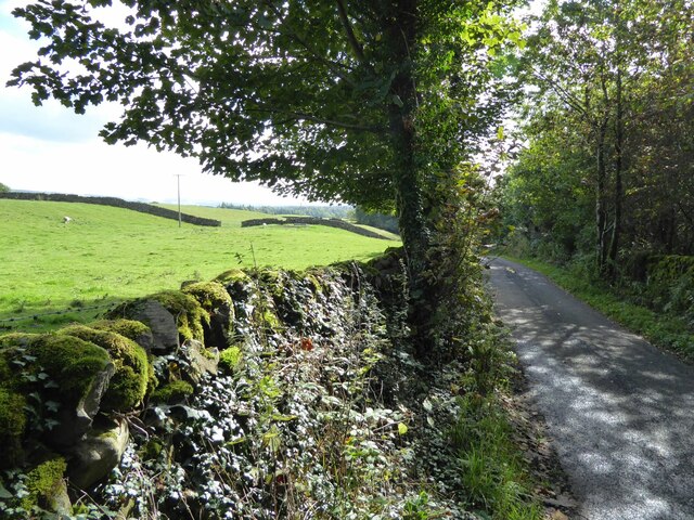
Walking trails wind their way through the plantation, offering visitors the chance to explore and immerse themselves in the natural surroundings. The paths are well-maintained and provide access to the different sections of the woodland, allowing visitors to enjoy the peaceful ambiance and tranquility of the forest.

Kilndub Plantation is a popular destination for outdoor activities and recreation. Many visitors come to enjoy picnics amidst the serene surroundings, while others take advantage of the numerous trails for hiking, biking, and horseback riding. The plantation also has designated areas for camping and barbecues, making it an ideal spot for family outings or group gatherings.

Overall, Kilndub Plantation in Dumfriesshire offers a delightful escape into nature. Its vast woodland, diverse wildlife, and recreational opportunities make it a beloved destination for both locals and tourists seeking a peaceful and rejuvenating experience amidst the beauty of the Scottish countryside.

If you have any feedback on the listing, please let us know in the comments section below.

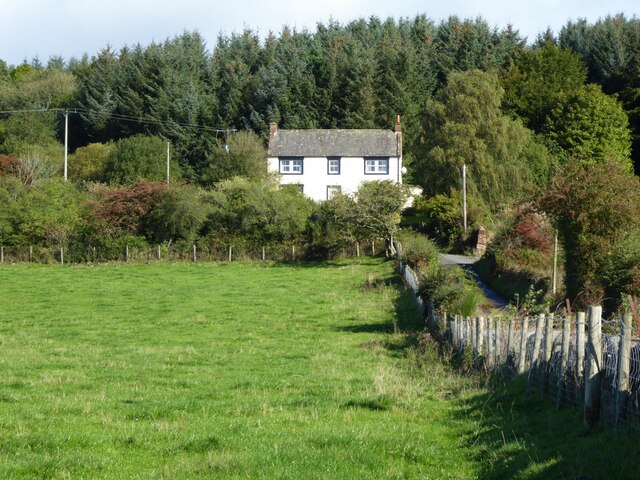
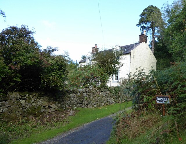
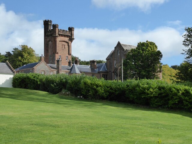
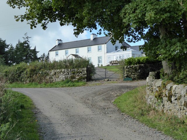
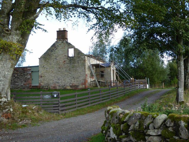
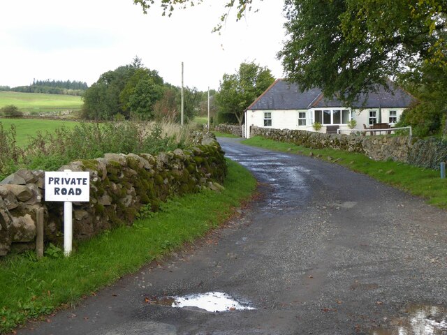
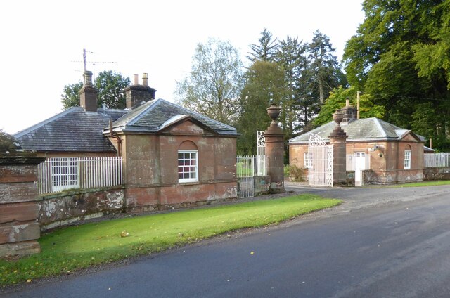
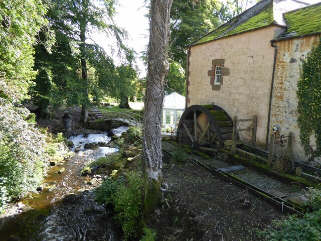
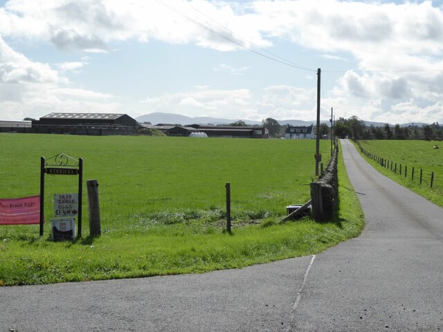
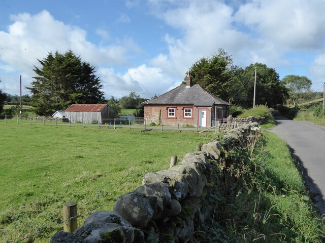
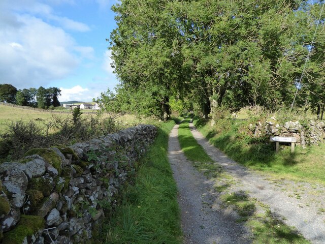
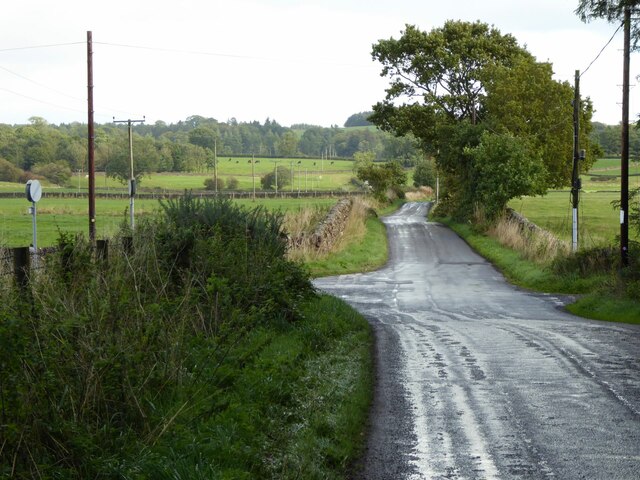
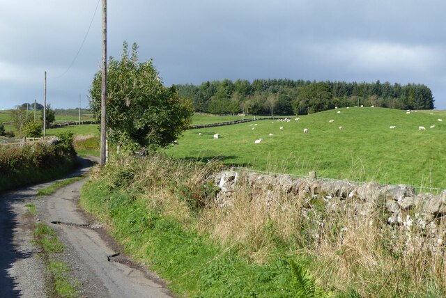
Kilndub Plantation Images

Images are sourced within 2km of 55.142832/-3.6302025 or Grid Reference NX9684. Thanks to Geograph Open Source API. All images are credited.

Foresters' Hall With fine views over Nithsdale.
Foresters' Hall
With fine views over Nithsdale.
Woodside On the edge of Dalswinton Wood.
Woodside
On the edge of Dalswinton Wood.
Newlands House and Tower Newlands was built in 1911 to replace a previous house, possibly on the site of “a castle, or fortlet, of great strength” according to one 1820s account, although the wartime owner Walter Duncan was unable to find evidence of that. He was convinced by a relative and a Norwegian whaling captain to let the house be used as a hospital for Norwegian personnel. He did so only on the condition that “it be returned in the same condition”, but according to one relative of Mr Duncan this was no problem since the Norwegian staff and patients were “very tidy and respectful”.  
<span class="nowrap"><a title="https://www.ournorwegianstory.com/story-related-to/the-story-about-newlands-house/" rel="nofollow ugc noopener" href="https://www.ournorwegianstory.com/story-related-to/the-story-about-newlands-house/">Link</a><img style="margin-left:2px;" alt="External link" title="External link - shift click to open in new window" src="https://s1.geograph.org.uk/img/external.png" width="10" height="10"/></span>
Newlands House and Tower
Newlands was built in 1911 to replace a previous house, possibly on the site of “a castle, or fortlet, of great strength” according to one 1820s account, although the wartime owner Walter Duncan was unable to find evidence of that. He was convinced by a relative and a Norwegian whaling captain to let the house be used as a hospital for Norwegian personnel. He did so only on the condition that “it be returned in the same condition”, but according to one relative of Mr Duncan this was no problem since the Norwegian staff and patients were “very tidy and respectful”. LinkExternal link
Whitehall By the woods above Newlands Linn.
Whitehall
By the woods above Newlands Linn.
North Riddingwood Undergoing major refurbishment!
North Riddingwood
Undergoing major refurbishment!
The track to Ellerslee Past Ellerslee Cottage.
The track to Ellerslee
Past Ellerslee Cottage.
Front Lodge To Dalswinton Old House and estate.
Front Lodge
To Dalswinton Old House and estate.
Crofthead Overlooking Pennyland Burn.
Crofthead
Overlooking Pennyland Burn.
Dalswinton Mill Using the Pennyland Burn.
Dalswinton Mill
Using the Pennyland Burn.
Road to Kerricks And free range eggs £1 for half a dozen, if you want them!
Criffel in the distance.
Road to Kerricks
And free range eggs £1 for half a dozen, if you want them! Criffel in the distance.
Foregirth Lodge Off the Auldgirth to Duncow road.
Foregirth Lodge
Off the Auldgirth to Duncow road.
Lane to Smithtown In Nithsdale.
Lane to Smithtown
In Nithsdale.
North Lodge Unused access to Duncow House.
North Lodge
Unused access to Duncow House.
Country lane Near Neckbreak. (Curious name!)
Country lane
Near Neckbreak. (Curious name!)
Cattle in pasture By the Corner House, Newlands.
Cattle in pasture
By the Corner House, Newlands.
Duncow windmill (disused) 'The stump of a tower windmill, some 30 ft high, ground diameter 20 ft, tapering to about 12 ft, stands about 1/2 mile NE of Duncow House. The structure is massive, built of sandstone rubble. There are two doors, one of which has been blocked up. This is a good example of an early tower mill, dating from the late 17th or early 18th centuries; it is in good condition, though open to the weather.'  <span class="nowrap"><a title="https://canmore.org.uk/site/65849/duncow-windmill" rel="nofollow ugc noopener" href="https://canmore.org.uk/site/65849/duncow-windmill">Link</a><img style="margin-left:2px;" alt="External link" title="External link - shift click to open in new window" src="https://s1.geograph.org.uk/img/external.png" width="10" height="10"/></span>
Duncow windmill (disused)
'The stump of a tower windmill, some 30 ft high, ground diameter 20 ft, tapering to about 12 ft, stands about 1/2 mile NE of Duncow House. The structure is massive, built of sandstone rubble. There are two doors, one of which has been blocked up. This is a good example of an early tower mill, dating from the late 17th or early 18th centuries; it is in good condition, though open to the weather.' LinkExternal link
Road junction by old windmill Turn left for Castlehill.
Road junction by old windmill
Turn left for Castlehill.
Sheep in pasture near Auchencairn The minor road continues to Guillyburn.
Sheep in pasture near Auchencairn
The minor road continues to Guillyburn.
Show me another place!

Kilndub Plantation is located at Grid Ref: NX9684 (Lat: 55.142832, Lng: -3.6302025)

Unitary Authority: Dumfries and Galloway

Police Authority: Dumfries and Galloway

What 3 Words

///purse.richer.pull. Near Locharbriggs, Dumfries & Galloway

Nearby Locations

Kilndub Plantation

Related Wikis

Duncow

Duncow is a small settlement in the civil parish of Kirkmahoe, Dumfries and Galloway, Scotland. Located in the geographical centre of the parish, Duncow...

Dalswinton Castle

Dalswinton Castle, also known as Comyn's Castle, was a castle that was located to the south-east of Dalswinton, in Dumfries and Galloway, Scotland.A castle...

Dalswinton

Dalswinton is a small village in the historical county of Dumfriesshire in Dumfries and Galloway in the south of Scotland. It is located about six miles...

Garden of Cosmic Speculation

The Garden of Cosmic Speculation is a 30 acre (12 hectare) sculpture garden created by landscape architect and theorist Charles Jencks and his wife, Maggie...

Nearby Amenities

Located within 500m of 55.142832,-3.6302025
Power: pole
Lat/Long: 55.139232/-3.6333042
Power: pole
Lat/Long: 55.1400997/-3.6344522
Power: pole
Lat/Long: 55.1406715/-3.6362574
Power: pole
Lat/Long: 55.1391185/-3.631601
Power: pole
Lat/Long: 55.1398222/-3.6310834
Power: pole
Lat/Long: 55.141018/-3.6302412
Power: pole
Lat/Long: 55.1417968/-3.6296886
Power: pole
Lat/Long: 55.1425572/-3.6291549
Power: pole
Lat/Long: 55.1434271/-3.6289389
Power: pole
Lat/Long: 55.1439261/-3.6287954
Power: pole
Lat/Long: 55.145531/-3.6294875
Power: pole
Lat/Long: 55.1470163/-3.6306971
The data included in this document is from www.openstreetmap.org. The data is made available under ODbL.

Have you been to Kilndub Plantation?

Leave your review of Kilndub Plantation below (or comments, questions and feedback).