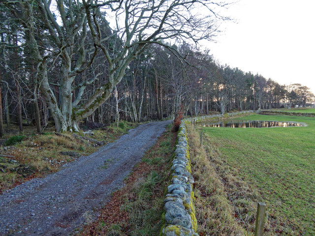
Lower Broadshaw Wood
Wood, Forest in Nairnshire
Scotland
Lower Broadshaw Wood
The requested URL returned error: 429 Too Many Requests
If you have any feedback on the listing, please let us know in the comments section below.
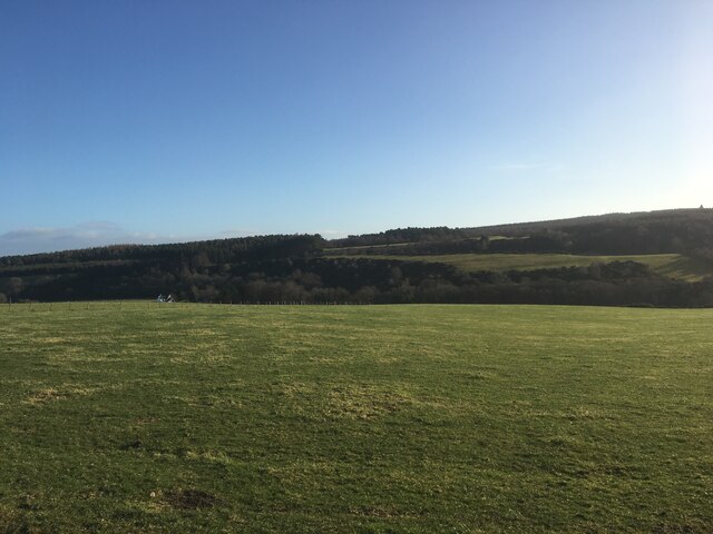
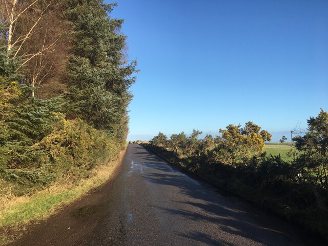
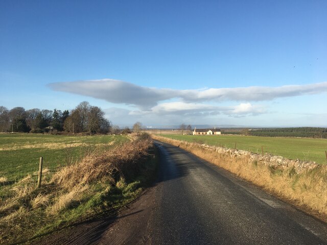
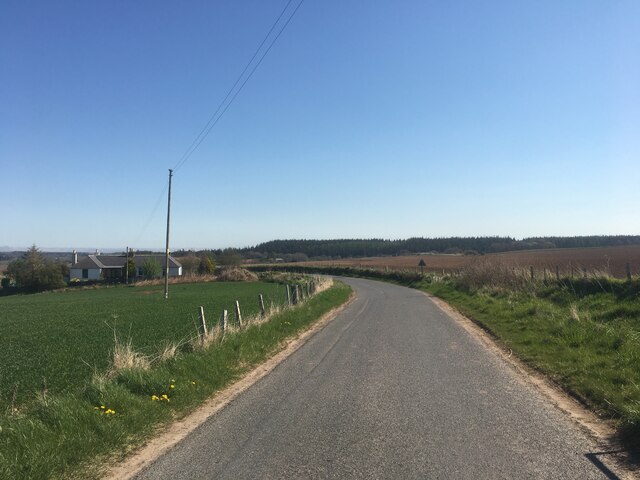
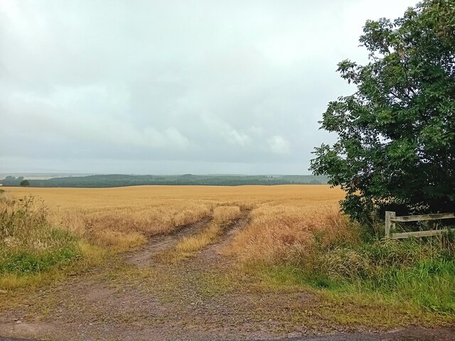
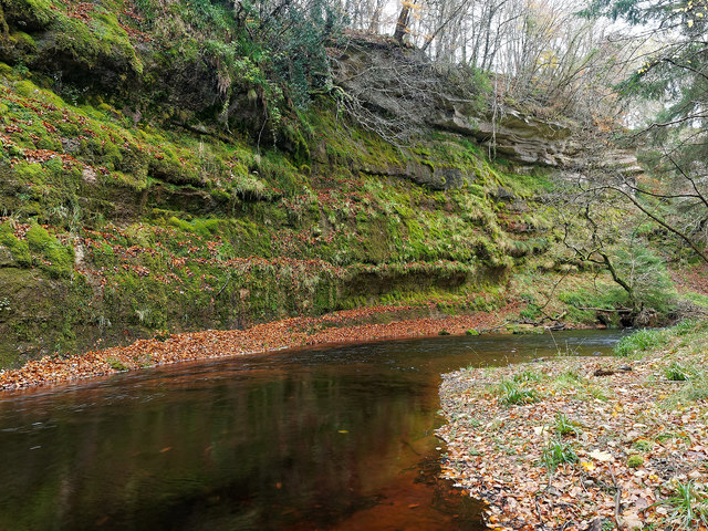
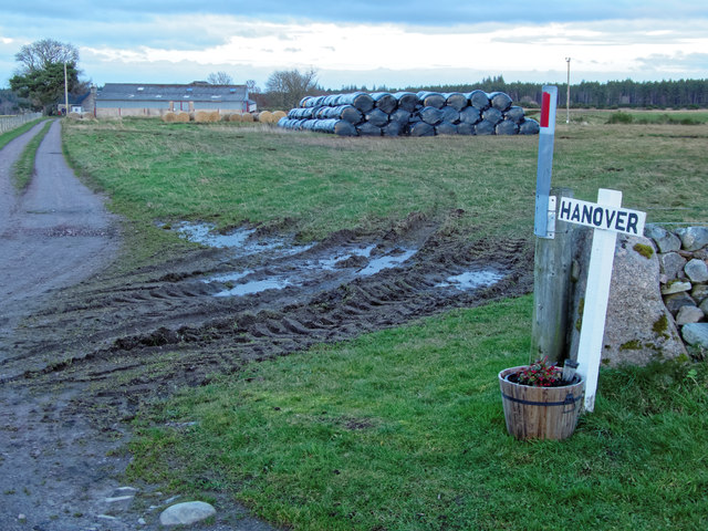
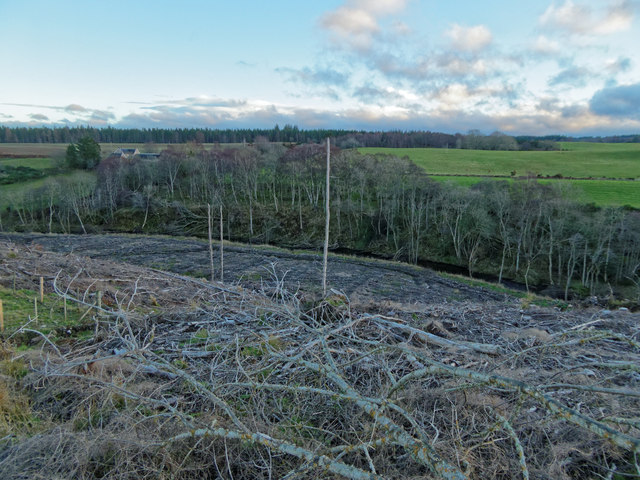
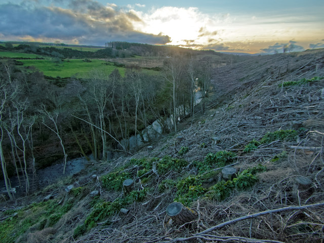
Lower Broadshaw Wood Images
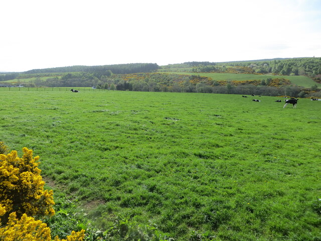
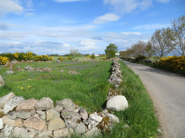
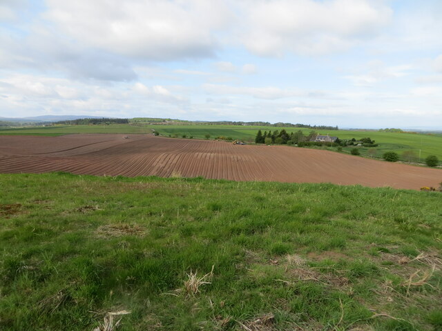
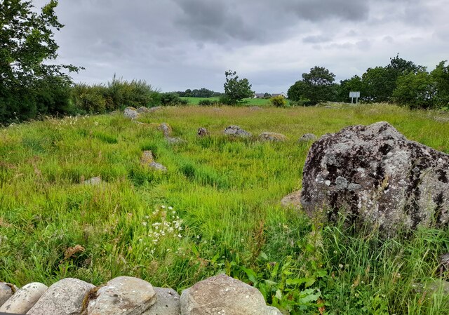
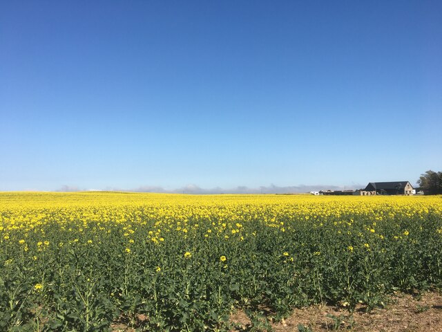
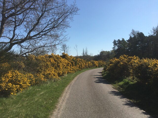
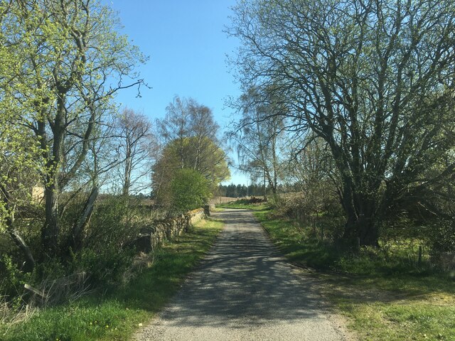
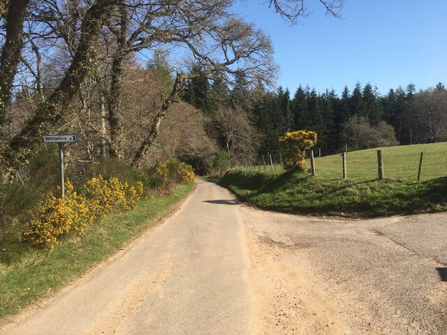
Images are sourced within 2km of 57.554345/-3.7366598 or Grid Reference NH9652. Thanks to Geograph Open Source API. All images are credited.
Lower Broadshaw Wood is located at Grid Ref: NH9652 (Lat: 57.554345, Lng: -3.7366598)
Unitary Authority: Highland
Police Authority: Highlands and Islands
What 3 Words
///amending.hears.gracing. Near Nairn, Highland
Nearby Locations
Related Wikis

Brightmony House
Brightmony House is an 18th-century manor house located south of Auldearn, Highland in Scotland. It is a Category A listed building == History == The property...
Kinsteary House
Kinsteary House is a manor house and site of a possible castle located south of Auldearn, Highland in Scotland. == History == The property passed by marriage...

Littlemill
Littlemill is a village located close to Nairn in Nairnshire, Scottish Highlands and is in the Scottish council area of Highland. == References ==

Darnaway Castle
Darnaway Castle, also known as Tarnaway Castle, is located in Darnaway Forest, 3 miles (4.8 km) southwest of Forres in Moray, Scotland. This was Comyn...
Nearby Amenities
Located within 500m of 57.554345,-3.7366598Have you been to Lower Broadshaw Wood?
Leave your review of Lower Broadshaw Wood below (or comments, questions and feedback).