Peat Moss
Wood, Forest in Dumfriesshire
Scotland
Peat Moss
Peat Moss, Dumfriesshire, is a picturesque woodland located in the southwest of Scotland, known for its rich biodiversity and unique ecological features. Covering an area of approximately 200 hectares, this ancient forest is a haven for nature enthusiasts and researchers alike.
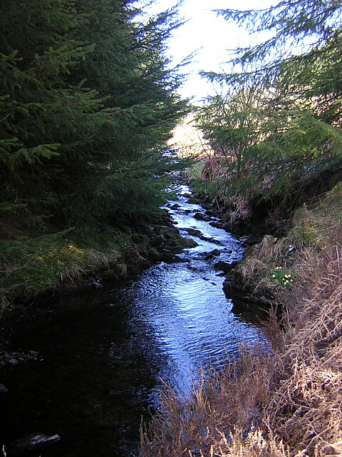
The woodland is primarily composed of peat mosses, a type of moss that thrives in wet and acidic environments. This unique ecosystem supports a variety of plant species, including sphagnum moss, heather, and various types of ferns. The dense canopy created by the tall trees provides shade, allowing a diverse range of understory plants to flourish.
Peat Moss is home to a wide array of wildlife, with several species of birds, mammals, and insects making it their habitat. Visitors may be lucky enough to catch a glimpse of red squirrels, badgers, or even the elusive pine marten. The forest is also a haven for birdwatchers, with species such as woodpeckers, owls, and various songbirds frequenting the area.
The woodland offers numerous recreational activities for visitors to enjoy. There are well-maintained walking trails that wind through the forest, providing an opportunity to immerse oneself in nature and appreciate the serene atmosphere. Additionally, the forest is a popular destination for photography enthusiasts, offering breathtaking views of the landscape and its inhabitants.
Peat Moss, Dumfriesshire, is a truly remarkable woodland, showcasing the beauty and resilience of nature. Its rich biodiversity, unique ecosystem, and recreational opportunities make it a must-visit destination for anyone seeking to experience the wonders of Scotland's natural heritage.
If you have any feedback on the listing, please let us know in the comments section below.
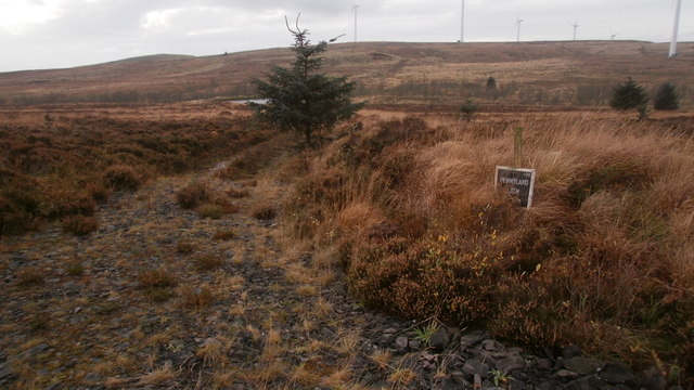
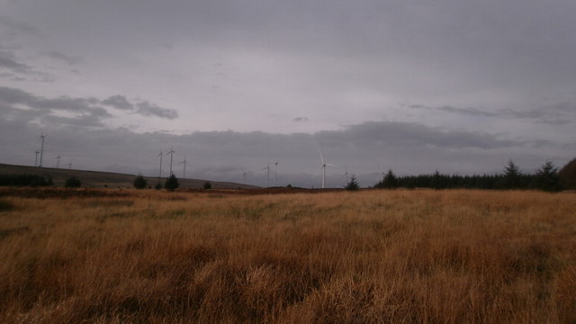
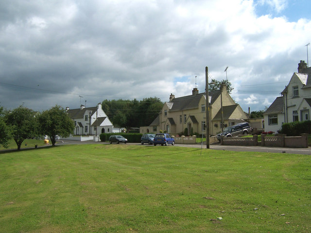
Peat Moss Images
Images are sourced within 2km of 55.191591/-3.638022 or Grid Reference NX9589. Thanks to Geograph Open Source API. All images are credited.


Peat Moss is located at Grid Ref: NX9589 (Lat: 55.191591, Lng: -3.638022)
Unitary Authority: Dumfries and Galloway
Police Authority: Dumfries and Galloway
What 3 Words
///whimpered.staked.shudders. Near Thornhill, Dumfries & Galloway
Nearby Locations
Related Wikis
Ae, Dumfries and Galloway
Ae (pronounced ) is a village in Dumfries and Galloway, south west Scotland. The village is located on the edge of a 15,000-acre (61 km2) human-made conifer...

Loch Ettrick
Loch Ettrick is a body of water near Thornhill and Ae, Dumfries and Galloway, in the Southern Uplands of Scotland.

Dalswinton
Dalswinton is a small village in the historical county of Dumfriesshire in Dumfries and Galloway in the south of Scotland. It is located about six miles...

Auldgirth railway station
Auldgirth railway station was a station which served Auldgirth, in the Scottish county of Dumfries and Galloway. It was served by trains on what is now...
Nearby Amenities
Located within 500m of 55.191591,-3.638022Have you been to Peat Moss?
Leave your review of Peat Moss below (or comments, questions and feedback).