Haining Wood
Wood, Forest in Stirlingshire
Scotland
Haining Wood

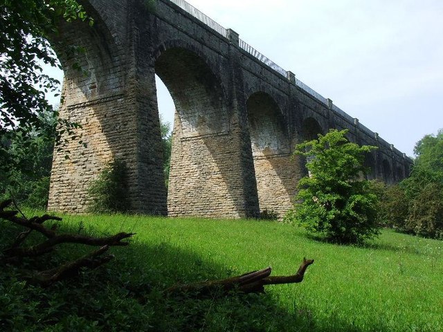
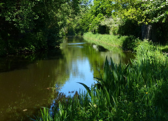
Haining Wood is a beautiful forest located in Stirlingshire, Scotland. Covering an area of approximately 200 acres, it is a popular destination for nature lovers and outdoor enthusiasts. The wood is a mix of deciduous and coniferous trees, offering a diverse and picturesque landscape.
The forest is well-maintained, with clearly marked trails and paths that allow visitors to explore and enjoy the natural surroundings. Walking through Haining Wood, one can encounter a variety of wildlife, including deer, foxes, rabbits, and a wide range of bird species. The tranquil atmosphere and peaceful ambiance make it an ideal spot for birdwatching and photography.
Haining Wood also has a rich history, with some parts of the forest dating back several centuries. There are remnants of old stone walls and ruins that serve as a reminder of the area's past. These historical features add a sense of charm and character to the wood, making it an interesting place to explore for history enthusiasts.
The forest is accessible throughout the year, and visitors can engage in activities such as hiking, jogging, and picnicking. There are designated picnic areas with benches and tables, providing a perfect spot for families and friends to relax and enjoy a meal amidst nature.
Overall, Haining Wood in Stirlingshire is a captivating destination for anyone seeking a peaceful retreat in the midst of nature. Its blend of natural beauty, wildlife, and historical significance make it an appealing and enchanting place to visit.
If you have any feedback on the listing, please let us know in the comments section below.
Haining Wood Images
Images are sourced within 2km of 55.97856/-3.6765708 or Grid Reference NS9577. Thanks to Geograph Open Source API. All images are credited.


Haining Wood is located at Grid Ref: NS9577 (Lat: 55.97856, Lng: -3.6765708)
Unitary Authority: Falkirk
Police Authority: Forth Valley
What 3 Words
///aims.shots.mats. Near Maddiston, Falkirk
Nearby Locations
Related Wikis
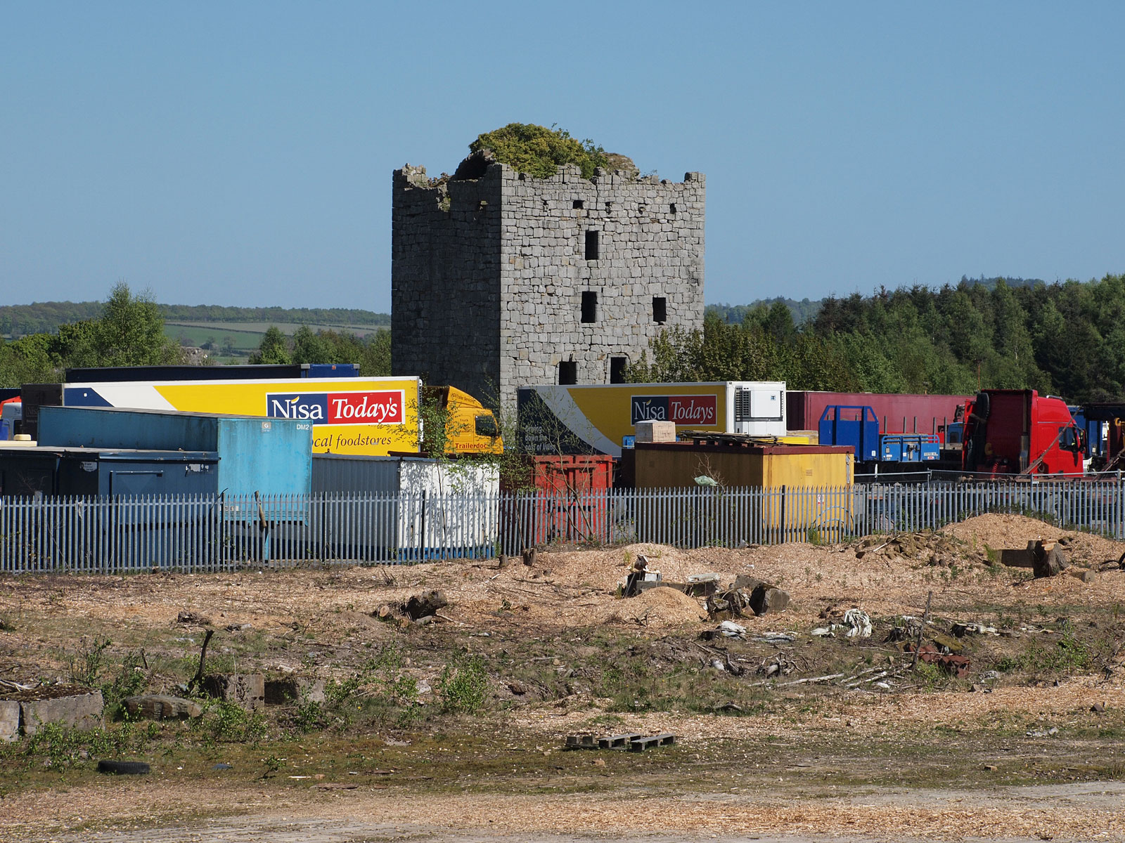
Almond Castle
Almond Castle is a ruined L-plan castle dating from the 15th century. It is located 3 miles (4.8 km) west of Linlithgow, and north of the Union Canal,...

Bo'ness Junction rail crash
Bo'ness Junction rail crash occurred at Bo'ness Junction in Falkirk.The junction lies on the Edinburgh and Glasgow Railway between Falkirk and Linlithgow...
Manuel Junction
Manuel Junction is a railway junction near the village of Whitecross, Falkirk, Scotland. It is the terminus of the Bo'ness and Kinneil Railway (operated...
Avondale Landfill
Avondale Environmental, better known as Avondale Landfill, is a major Scottish landfill located in Polmont, off junction 4 of the M9 motorway. Avondale...

Whitecross, Falkirk
Whitecross is a small village within the Falkirk council area, close to the boundary of West Lothian council in Scotland. It lies 2.0 miles (3.2 km) west...
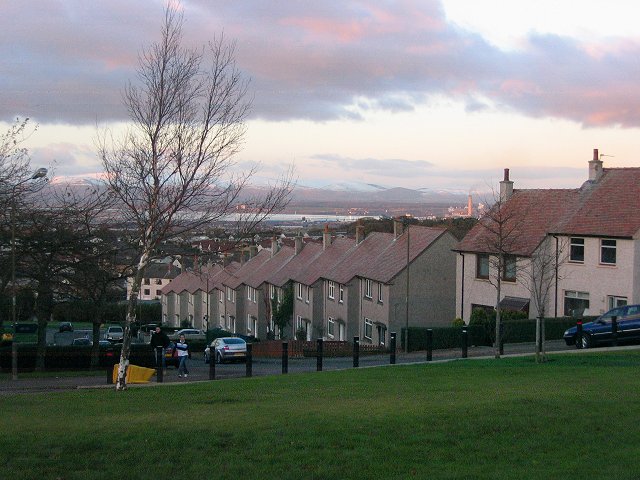
Maddiston
Maddiston is a village in the Falkirk council area of Scotland. It lies 3.8 miles (6.1 km) west-southwest of Linlithgow, 1.3 miles (2.1 km) south of Polmont...

Linlithgow and East Falkirk (UK Parliament constituency)
Linlithgow and East Falkirk is a county constituency of the House of Commons of the Parliament of the United Kingdom, created for use in the 2005 general...

Avon Gorge (Falkirk)
The Avon Gorge (grid reference NS960792) is a small wooded gorge in Falkirk, Scotland. == Biology == An area of 19.05 hectares (47.1 acres) of the gorge...
Nearby Amenities
Located within 500m of 55.97856,-3.6765708Have you been to Haining Wood?
Leave your review of Haining Wood below (or comments, questions and feedback).