North Plantation
Wood, Forest in Clackmannanshire
Scotland
North Plantation
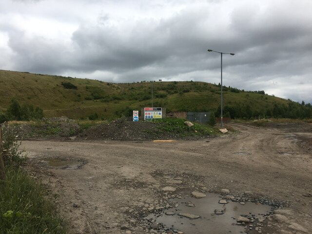
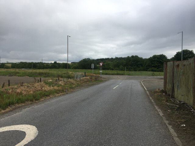
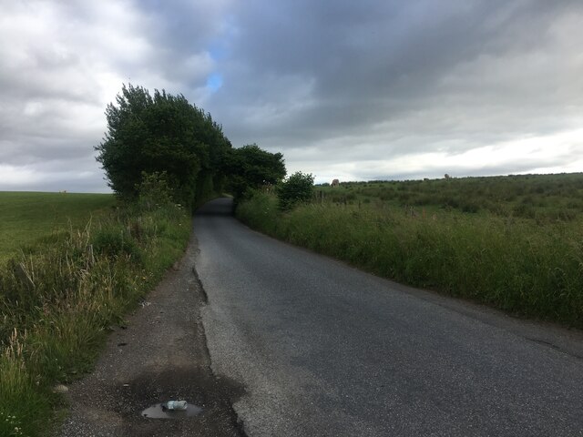
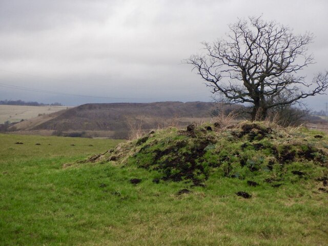
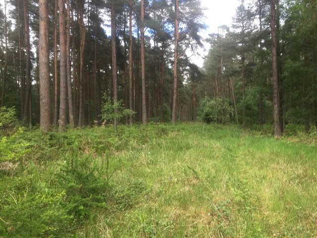
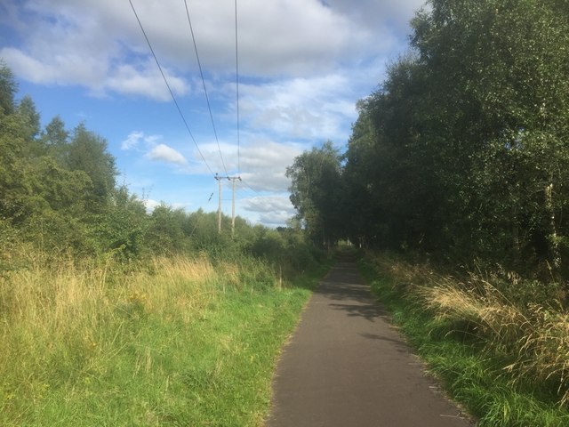
North Plantation is a picturesque wood located in the county of Clackmannanshire, Scotland. Situated in the heart of the region, this forested area covers an estimated area of approximately 200 acres. It is renowned for its natural beauty and abundant biodiversity, attracting nature enthusiasts and outdoor adventurers alike.
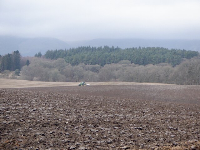
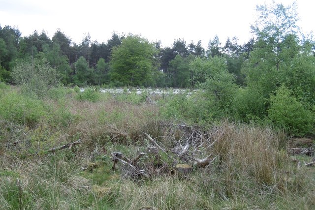
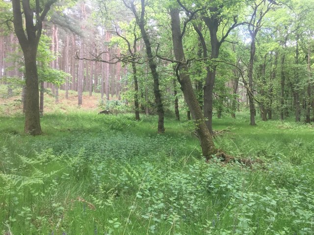
The woodland comprises a diverse range of tree species, including oak, beech, birch, and pine, creating a harmonious blend of colors throughout the year. The forest floor is carpeted with a rich tapestry of ferns, mosses, and wildflowers, enhancing the enchanting atmosphere of the area. As visitors wander through the woodland, they may encounter various wildlife species, such as red squirrels, roe deer, and a variety of bird species.
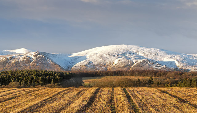
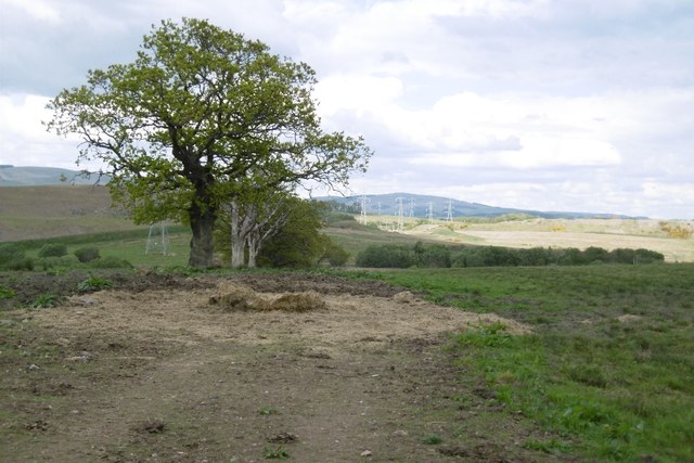
North Plantation offers an extensive network of walking trails, providing ample opportunities for exploration and outdoor recreation. These well-maintained paths wind their way through the forest, offering stunning views of the surrounding landscape and the nearby Ochil Hills. The trails cater to all abilities, from gentle strolls to more challenging hikes, ensuring that there is something for everyone.
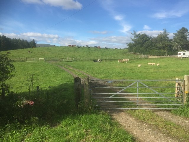
The wood is also home to a diverse range of habitats, including wetlands, ponds, and meadows, which further contribute to its ecological significance. Conservation efforts are in place to protect and sustain the natural environment, making it an ideal location for educational visits and nature conservation studies.
Overall, North Plantation in Clackmannanshire is a hidden gem, providing a tranquil escape from the hustle and bustle of everyday life. With its captivating beauty, abundant wildlife, and well-maintained trails, it is a must-visit destination for nature enthusiasts and those seeking a peaceful retreat in the heart of Scotland.
If you have any feedback on the listing, please let us know in the comments section below.
North Plantation Images
Images are sourced within 2km of 56.12418/-3.6962546 or Grid Reference NS9493. Thanks to Geograph Open Source API. All images are credited.


North Plantation is located at Grid Ref: NS9493 (Lat: 56.12418, Lng: -3.6962546)
Unitary Authority: Clackmannanshire
Police Authority: Forth Valley
What 3 Words
///pollution.daylight.talents. Near Clackmannan, Clackmannanshire
Nearby Locations
Related Wikis

Forestmill
Forestmill (or Forest Mill) is a small hamlet in the county of Clackmannanshire, Scotland. It is situated on the A977 road between Kincardine and Kinross...

Forest Mill railway station
Forest Mill railway station served the hamlet of Forestmill, Clackmannanshire, Scotland from 1850 to 1930 on the Stirling and Dunfermline Railway. ��2...
Brucefield House
Brucefield is an 18th-century country house in Clackmannanshire, Scotland. It is located 4 kilometres (2.5 mi) east of Clackmannan. The house was largely...

Gartmorn Dam
Gartmorn Dam is an artificial freshwater lake north-east of Alloa, Clackmannanshire, Scotland, UK, built in 1711-12 as a reservoir to supply water to hydraulic...
Clackmannan Road railway station
Clackmannan Road railway station served the town of Clackmannan, Clackmannanshire, Scotland from 1850 to 1921 on the Stirling and Dunfermline Railway....

Coalsnaughton
Coalsnaughton or Calibar (Scottish Gaelic: Caolas Neachdainn) is a village in Clackmannanshire, Scotland. It is just south of Tillicoultry of which it...
Kennet, Clackmannanshire
Kennet is a small former coal-mining village in Clackmannanshire, Scotland. It is located 1.5 kilometres (0.93 mi) south-east of Clackmannan, by the Kincardine...

Clackmannan and Kennet railway station
Clackmannan and Kennet railway station served the town of Clackmannan, Clackmannanshire from 1893 to 1930 on the Kincardine Line. == History == The station...
Nearby Amenities
Located within 500m of 56.12418,-3.6962546Have you been to North Plantation?
Leave your review of North Plantation below (or comments, questions and feedback).