The Forest

Wood, Forest in Clackmannanshire

Scotland

The Forest

George Russell Construction Meadowhill Site
George Russell Construction Meadowhill Site Credit: Steven Brown

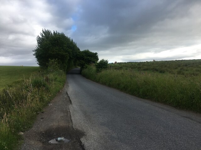
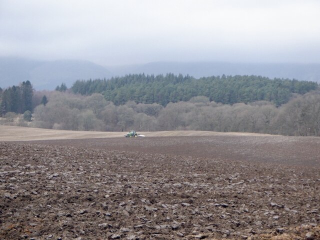
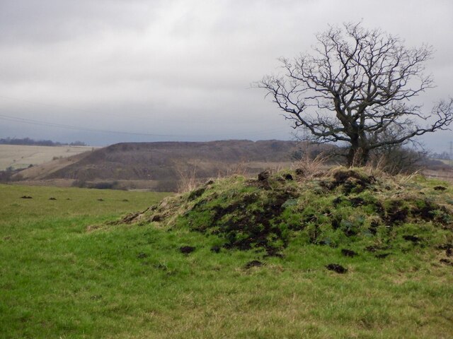
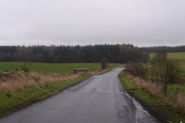
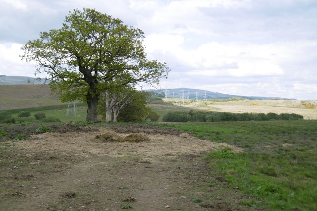
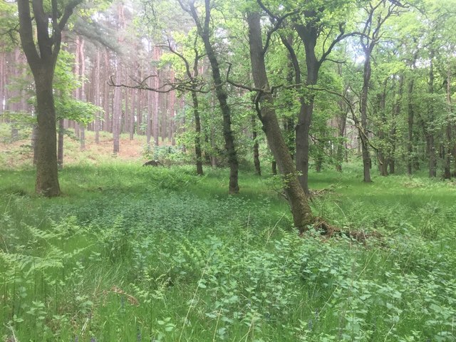
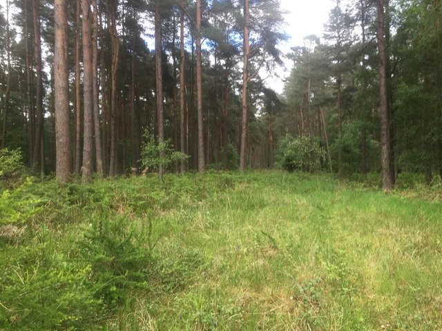
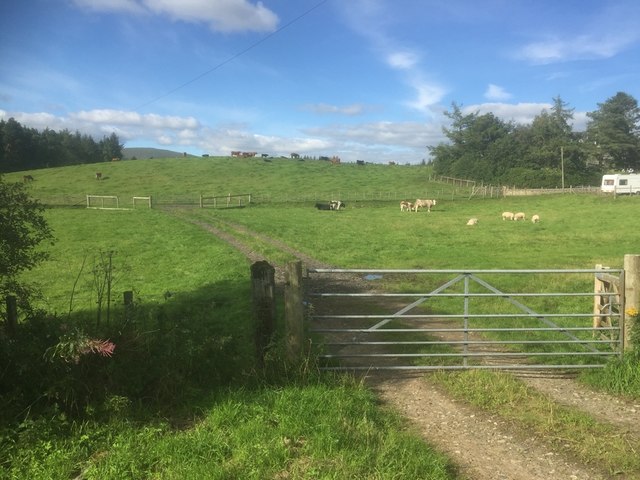
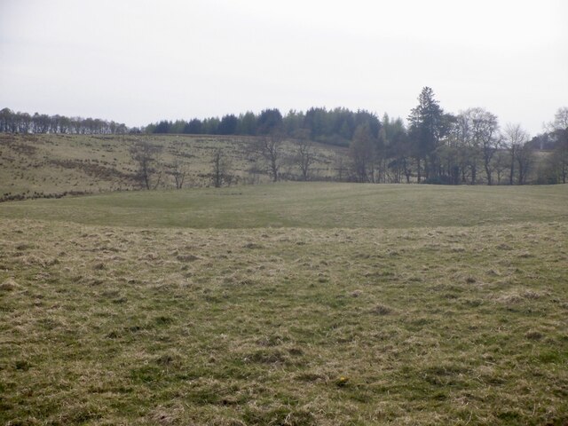
The Forest, located in Clackmannanshire, Scotland, is a captivating woodland area that covers approximately 2,500 acres. Situated in the Ochil Hills, this expansive forest is known for its diverse range of flora and fauna, offering visitors a unique opportunity to immerse themselves in the natural beauty of the area.

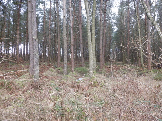
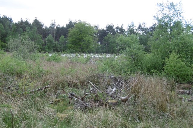
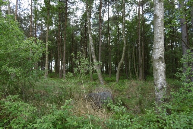
The forest boasts a mix of native and non-native tree species, including oak, beech, birch, and spruce, which create a stunning and varied landscape. Walking through the forest, visitors are treated to picturesque scenes of towering trees, lush undergrowth, and trickling streams that add to the tranquility of the environment.

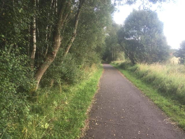
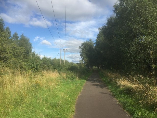
The Forest is not only a haven for nature enthusiasts but also offers a range of recreational activities. Numerous walking trails wind their way through the woodland, catering to both casual strollers and avid hikers. These trails provide stunning views of the surrounding countryside and are suitable for people of all ages and fitness levels.

Wildlife is abundant in The Forest, with sightings of deer, badgers, foxes, and a variety of bird species being common. The forest is also home to several rare and protected species, making it an important conservation area.

Visitors to The Forest can also explore the history of the area, with remnants of Iron Age hill forts and ancient settlements scattered throughout the woodland. These historical sites offer a glimpse into the rich cultural heritage of Clackmannanshire.

Whether it's for a peaceful walk, birdwatching, or simply to escape the hustle and bustle of everyday life, The Forest in Clackmannanshire provides a serene and captivating experience for all who visit.

If you have any feedback on the listing, please let us know in the comments section below.
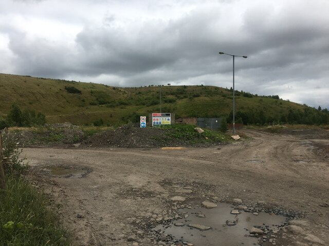
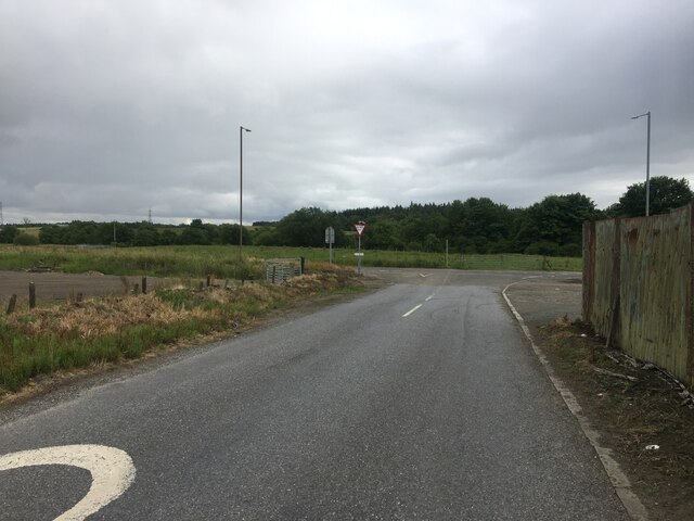
The Forest Images

Images are sourced within 2km of 56.119686/-3.6904589 or Grid Reference NS9493. Thanks to Geograph Open Source API. All images are credited.

George Russell Construction Meadowhill Site
Road junction, Forestmill
Minor road near Forestmill
Ploughing, Gartlove A large field surrounded by conifer plantations.
Ploughing, Gartlove
A large field surrounded by conifer plantations.
Former boundary, Gartgreenie The trees mark the line of a fence or hedge, now missing. The mound has appeared since <a href="https://www.geograph.org.uk/photo/5739220">NS9693 : Former boundary, Gartgreenie</a>.
Former boundary, Gartgreenie
The trees mark the line of a fence or hedge, now missing. The mound has appeared since NS9693 : Former boundary, Gartgreenie.
Fearns Wood View from beside a litter strewn layby.
Fearns Wood
View from beside a litter strewn layby.
Farmland near Gartlove Stubble on agricultural land near Gartlove, surrounded by forestry. In the distance, the south-facing escarpment of the Ochil Hills, with its higher ground dusted with snow.
Farmland near Gartlove
Stubble on agricultural land near Gartlove, surrounded by forestry. In the distance, the south-facing escarpment of the Ochil Hills, with its higher ground dusted with snow.
Castlebridge Colliery Castlebridge Colliery- tower (grey, background) and office buildings (blue, foreground). Features warehouses (brown, left) which latterly formed east side of Castlebridge Business Park.
Castlebridge Colliery
Castlebridge Colliery- tower (grey, background) and office buildings (blue, foreground). Features warehouses (brown, left) which latterly formed east side of Castlebridge Business Park.
Gartreilly Burn Crossing the burn with Aberdona Woods in the background.
Gartreilly Burn
Crossing the burn with Aberdona Woods in the background.
Gartgreenie Wood A block of conifers was felled here a few years earlier. It's damp and willows are getting a foothold.
Gartgreenie Wood
A block of conifers was felled here a few years earlier. It's damp and willows are getting a foothold.
Former boundary, Gartgreenie A line of trees where the maps show a boundary.
Former boundary, Gartgreenie
A line of trees where the maps show a boundary.
Fearns Wood
Fearns Wood
Birkhill Plantation The oak wood in the foreground is damp underfoot, the better drained slopes ahead are planted with Scots pine.
Birkhill Plantation
The oak wood in the foreground is damp underfoot, the better drained slopes ahead are planted with Scots pine.
Birkhill Plantation Scots pine woodland.
Birkhill Plantation
Scots pine woodland.
West Fife Cycleway
West Fife Cycleway
Stirling and Dunfermline Railway
Gartfinnan
Gartfinnan
Fields, Aberdona
Fields, Aberdona
Show me another place!

The Forest is located at Grid Ref: NS9493 (Lat: 56.119686, Lng: -3.6904589)

Unitary Authority: Clackmannanshire

Police Authority: Forth Valley

What 3 Words

///jaunts.walking.unspoiled. Near Clackmannan, Clackmannanshire

Related Wikis

Forestmill

Forestmill (or Forest Mill) is a small hamlet in the county of Clackmannanshire, Scotland. It is situated on the A977 road between Kincardine and Kinross...

Forest Mill railway station

Forest Mill railway station served the hamlet of Forestmill, Clackmannanshire, Scotland from 1850 to 1930 on the Stirling and Dunfermline Railway. ��2...

Brucefield House

Brucefield is an 18th-century country house in Clackmannanshire, Scotland. It is located 4 kilometres (2.5 mi) east of Clackmannan. The house was largely...

Clackmannan Road railway station

Clackmannan Road railway station served the town of Clackmannan, Clackmannanshire, Scotland from 1850 to 1921 on the Stirling and Dunfermline Railway....

Nearby Amenities

Located within 500m of 56.119686,-3.6904589
Turning Circle
Source: Bing
Lat/Long: 56.1192421/-3.6829676
Power: pole
Lat/Long: 56.1231751/-3.6856919
Power: pole
Lat/Long: 56.1224242/-3.6862713
Power: pole
Lat/Long: 56.1216512/-3.6868905
Power: pole
Lat/Long: 56.1208781/-3.6875117
Power: pole
Lat/Long: 56.1201493/-3.6880765
Power: pole
Lat/Long: 56.1193949/-3.6886664
Power: pole
Lat/Long: 56.1186486/-3.6892709
Power: pole
Lat/Long: 56.117858/-3.6898754
Power: pole
Lat/Long: 56.1171012/-3.6904653
Power: pole
Lat/Long: 56.1163047/-3.6910886
Power: pole
Lat/Long: 56.1155444/-3.6916764
Power: pole
Lat/Long: 56.1154872/-3.6908481
Power: pole
Lat/Long: 56.1154347/-3.6899486
Power: pole
Lat/Long: 56.1153776/-3.6890115
The data included in this document is from www.openstreetmap.org. The data is made available under ODbL.

Have you been to The Forest?

Leave your review of The Forest below (or comments, questions and feedback).