Hillend Belt
Wood, Forest in Nairnshire
Scotland
Hillend Belt
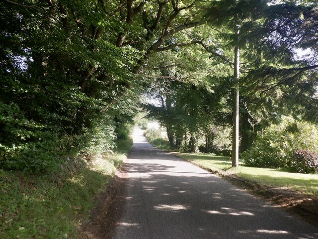
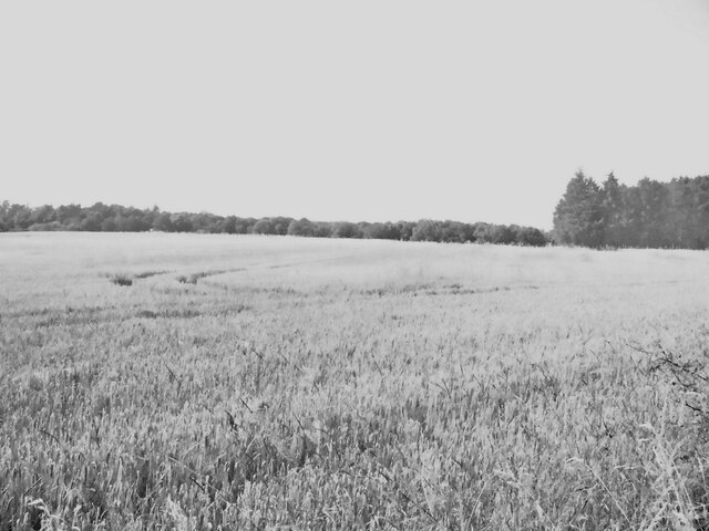
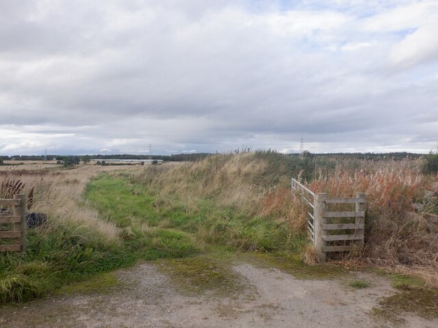
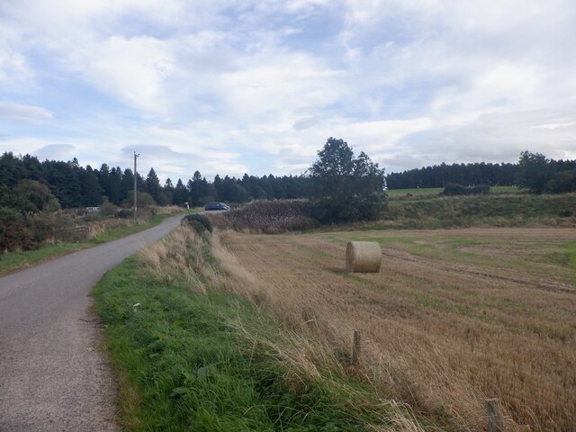
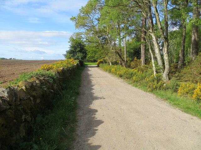
Hillend Belt is a picturesque woodland area located in Nairnshire, Scotland. Situated near the town of Nairn, this forested region covers a vast area and offers a diverse range of natural beauty and recreational opportunities.
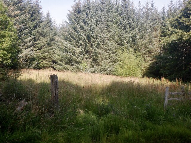
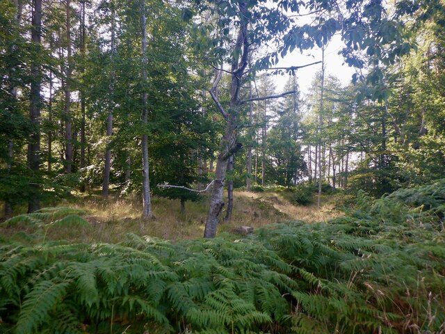
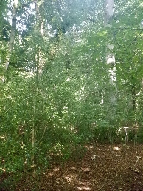
The woodlands of Hillend Belt consist primarily of native tree species, including Scots pine, birch, and oak. These trees create a dense canopy that provides shade and shelter for a variety of wildlife, making it an ideal habitat for numerous bird species, small mammals, and insects.
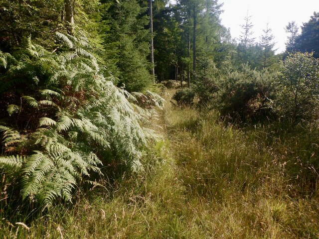
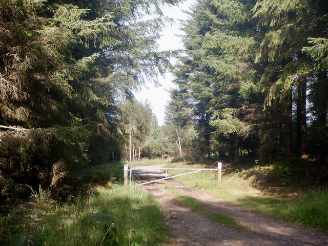
Walking through Hillend Belt, visitors will find well-maintained trails that meander through the forest. These paths provide an opportunity to immerse oneself in the tranquility of nature while enjoying the sights and sounds of the woodland. The trail system is suitable for all levels of walkers, from leisurely strolls to more challenging hikes.
In addition to its natural beauty, Hillend Belt offers various recreational activities. There are designated picnic areas where visitors can enjoy a meal amidst the stunning surroundings. The forest is also popular for birdwatching, with bird hides strategically placed to provide optimal viewing opportunities.
Hillend Belt is not only a haven for nature enthusiasts but also serves as an important ecosystem by preserving biodiversity and protecting the local environment. The woodlands are managed sustainably, ensuring the long-term health and vitality of the forest.
Whether one seeks solace in nature, wants to explore the diverse wildlife, or simply desires a peaceful retreat, Hillend Belt in Nairnshire is a destination that offers a memorable experience for all who venture into its enchanting woodlands.
If you have any feedback on the listing, please let us know in the comments section below.
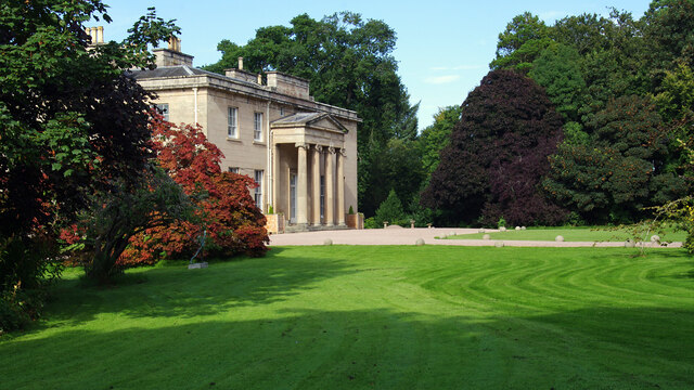
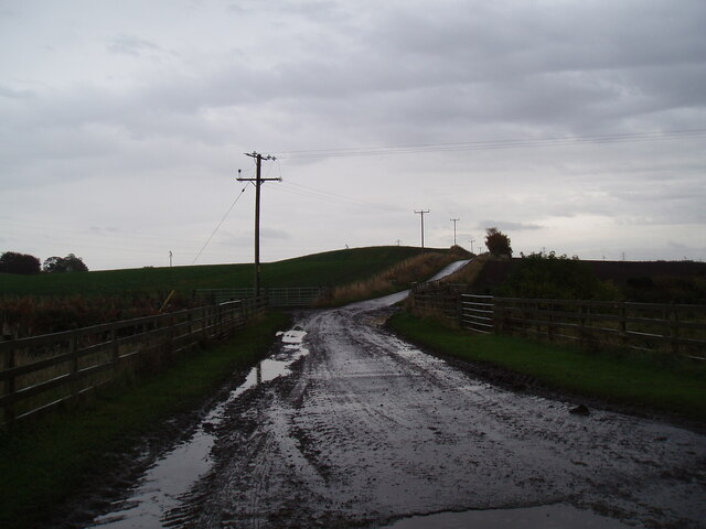
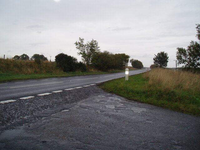
Hillend Belt Images
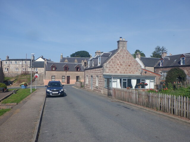
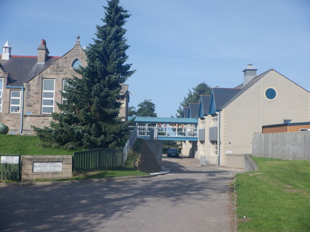
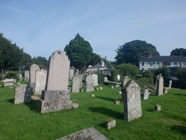
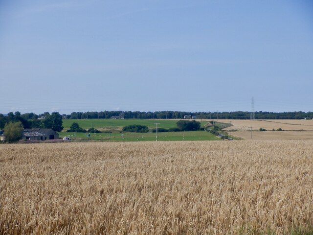
Images are sourced within 2km of 57.569921/-3.7813605 or Grid Reference NH9354. Thanks to Geograph Open Source API. All images are credited.
Hillend Belt is located at Grid Ref: NH9354 (Lat: 57.569921, Lng: -3.7813605)
Unitary Authority: Highland
Police Authority: Highlands and Islands
What 3 Words
///pinch.uplifting.denote. Near Nairn, Highland
Nearby Locations
Related Wikis

Kinsteary House
Kinsteary House is a manor house and site of a possible castle located south of Auldearn, Highland in Scotland. == History == The property passed by marriage...
Brightmony House
Brightmony House is an 18th-century manor house located south of Auldearn, Highland in Scotland. It is a Category A listed building == History == The property...
Battle of Auldearn
The Battle of Auldearn was an engagement of the Wars of the Three Kingdoms. It took place on 9 May 1645, in and around the village of Auldearn in Nairnshire...
Auldearn
Auldearn (Scottish Gaelic: Allt Èireann) is a village situated east of the River Nairn, just outside Nairn in the Highland council area of Scotland. It...
Nearby Amenities
Located within 500m of 57.569921,-3.7813605Have you been to Hillend Belt?
Leave your review of Hillend Belt below (or comments, questions and feedback).