Carstairs Junction
Settlement in Lanarkshire
Scotland
Carstairs Junction
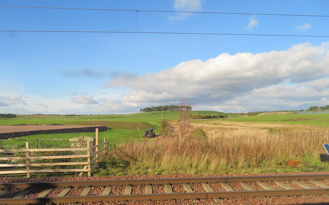
Carstairs Junction is a small village located in the county of Lanarkshire, Scotland. Situated approximately 30 miles southeast of Glasgow, it falls within the council area of South Lanarkshire. The village is named after the nearby convergence of the West Coast Main Line and the Caledonian Main Line railways.
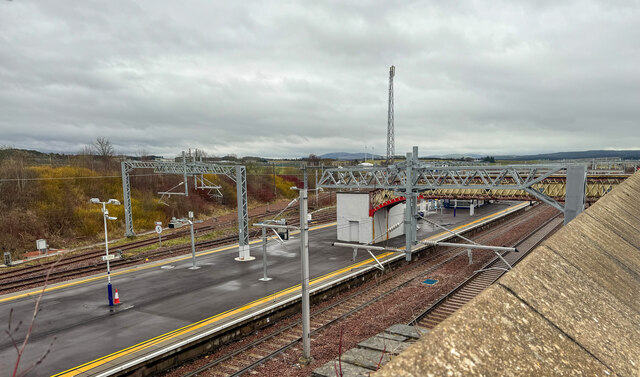
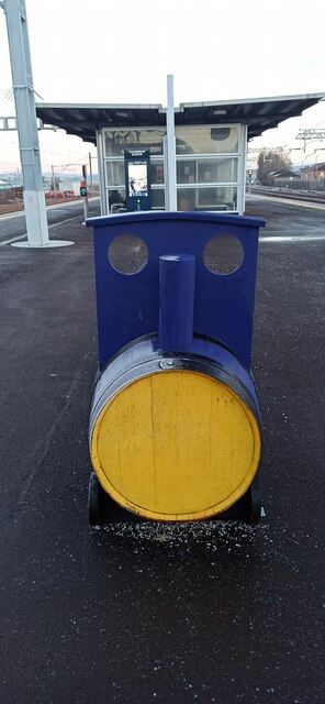
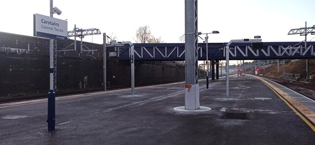
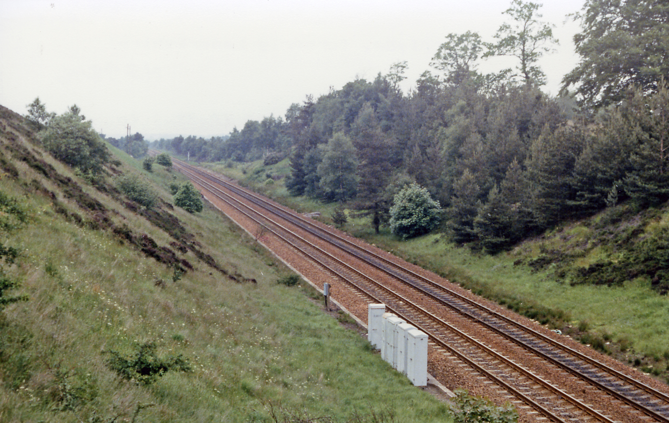
Carstairs Junction is primarily known for its historical significance as a major railway hub. It played a crucial role in the development of the railway network in Scotland during the 19th century. The junction was originally established in 1847 and quickly became a key interchange point for passengers and goods traveling between Glasgow, Edinburgh, and further south.
Today, Carstairs Junction retains its significance in the railway industry as it houses one of Scotland's largest railway junctions. It continues to be an important stop for various train services, including the West Coast Main Line, providing convenient connections for both commuters and long-distance travelers.
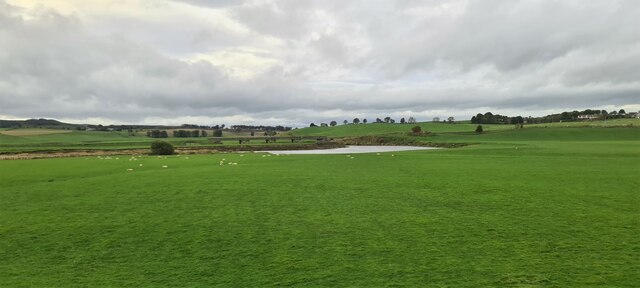
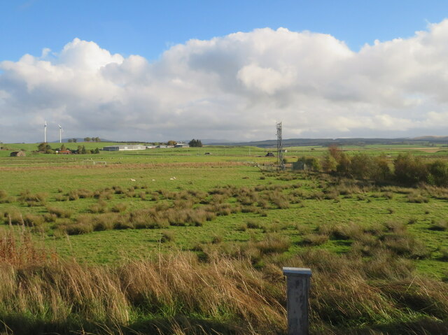
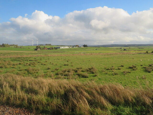
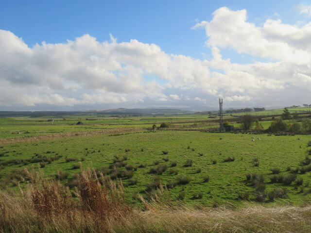
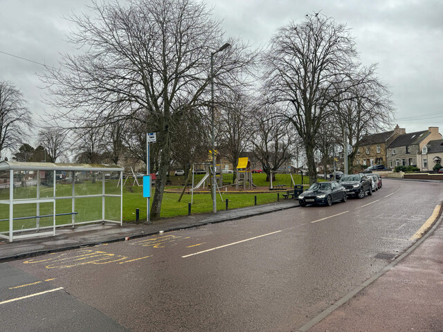
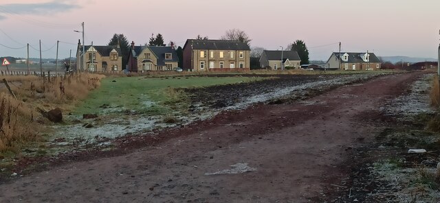
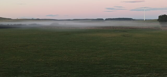
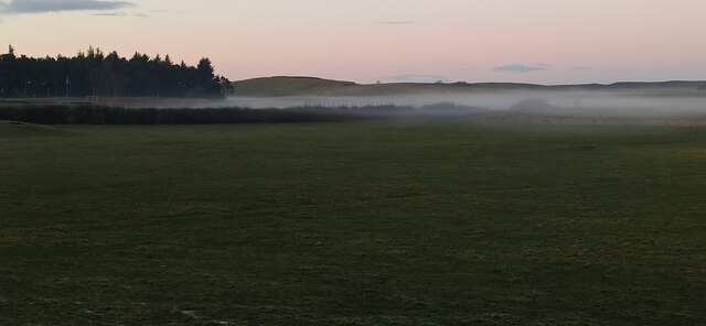
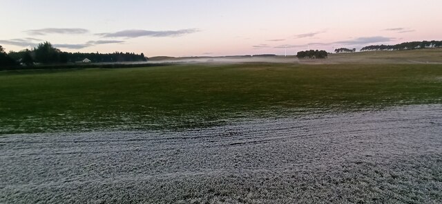
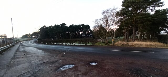
The village itself is small, with a population of around 1,500 residents. It offers a peaceful and picturesque setting, surrounded by the beautiful Lanarkshire countryside. In terms of amenities, Carstairs Junction has a few local shops, a primary school, and a community center, providing essential services to its residents.
Overall, Carstairs Junction holds a rich railway heritage and remains an integral part of Scotland's transportation network, serving as a vital gateway for travelers within the region.
If you have any feedback on the listing, please let us know in the comments section below.
Carstairs Junction Images
Images are sourced within 2km of 55.688836/-3.664762 or Grid Reference NS9545. Thanks to Geograph Open Source API. All images are credited.

Carstairs Junction is located at Grid Ref: NS9545 (Lat: 55.688836, Lng: -3.664762)
Unitary Authority: South Lanarkshire
Police Authority: Lanarkshire
What 3 Words
///acclaimed.recoup.refrain. Near Carnwath, South Lanarkshire
Nearby Locations
Related Wikis

Carstairs Junction
Carstairs Junction (Scottish Gaelic: Snaim Caisteal Tarrais) is a village in South Lanarkshire. Taking its name from the village of Carstairs and nearby...

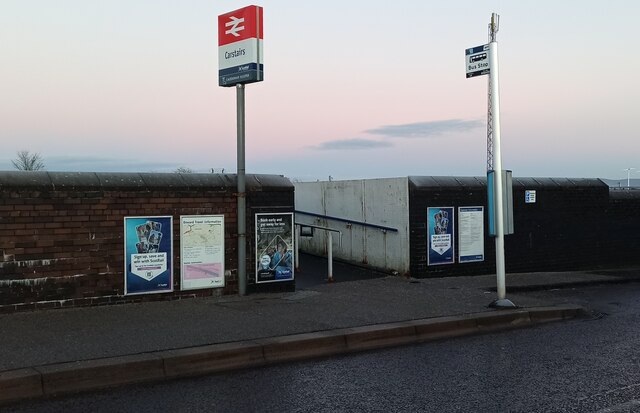
Carstairs railway station
Carstairs railway station serves the village of Carstairs in South Lanarkshire, Scotland and is a major junction station on the West Coast Main Line (WCML...
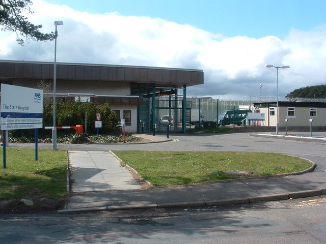
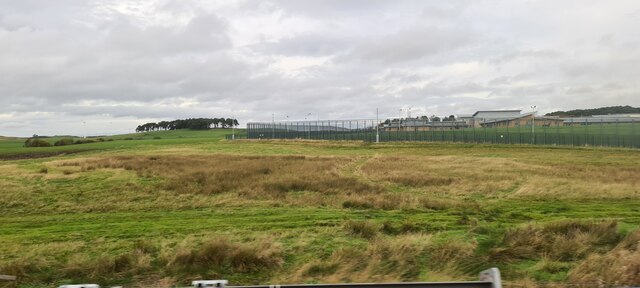
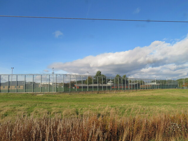
State Hospital
The State Hospital (also known as Carstairs Hospital, or simply Carstairs) is a psychiatric hospital in the village of Carstairs, in South Lanarkshire...

Carstairs House
Carstairs House, also known as Monteith House, is a country house 1.5 kilometres (0.93 mi) south-west of Carstairs South Lanarkshire, Scotland. The house...

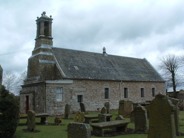
Carstairs Castle
Carstairs Castle was a stronghold in the east of Carstairs, a short distance from the current site of Carstairs Parish Church. Now long gone, it dates...

Carstairs
Carstairs (, Scottish Gaelic: Caisteal Tarrais) is a village in South Lanarkshire, Scotland. Carstairs is located 5 miles (8 kilometres) east of the county...
Pettinain
Pettinain is a hamlet and civil parish in South Lanarkshire, Scotland, 7 miles (11 km) east of Lanark. Bartholomew's Gazetteer of the British Isles described...
Carnwath railway station
Carnwath railway station was located just west of the village of Carnwath, on the Caledonian Railway line between Carstairs railway station and Edinburgh...
Nearby Amenities
Located within 500m of 55.688836,-3.664762Have you been to Carstairs Junction?
Leave your review of Carstairs Junction below (or comments, questions and feedback).