Newton Clump
Wood, Forest in Nairnshire
Scotland
Newton Clump

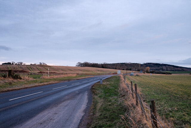
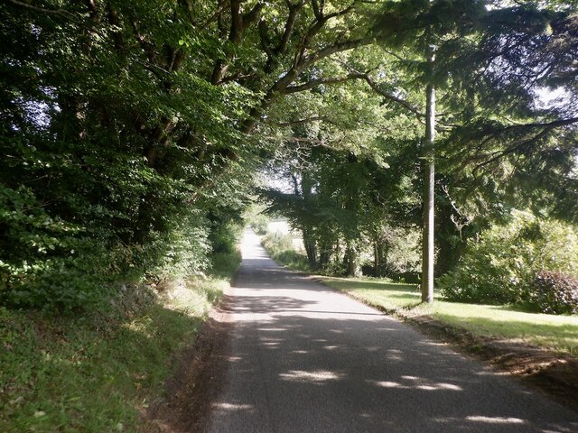
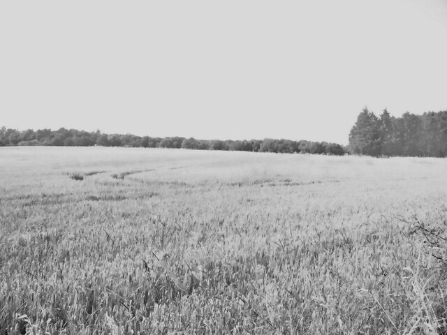
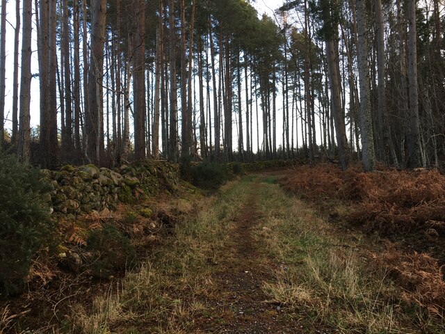
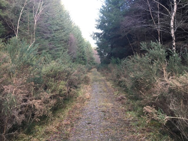
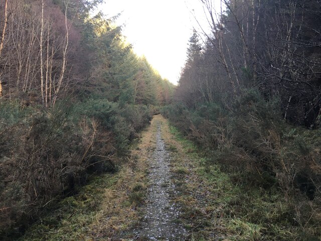
Newton Clump is a picturesque wood located in Nairnshire, a region in the Scottish Highlands. Situated amidst the stunning natural beauty of the area, this forested area spans approximately 100 acres, offering a serene and tranquil environment for visitors to explore.
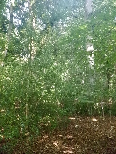
The wood is predominantly composed of native Scottish tree species, including Scots pine, birch, and oak, which create a diverse and vibrant ecosystem. This rich assortment of trees provides a habitat for various wildlife, such as red squirrels, roe deer, and a variety of bird species, making it an ideal destination for nature enthusiasts and birdwatchers.
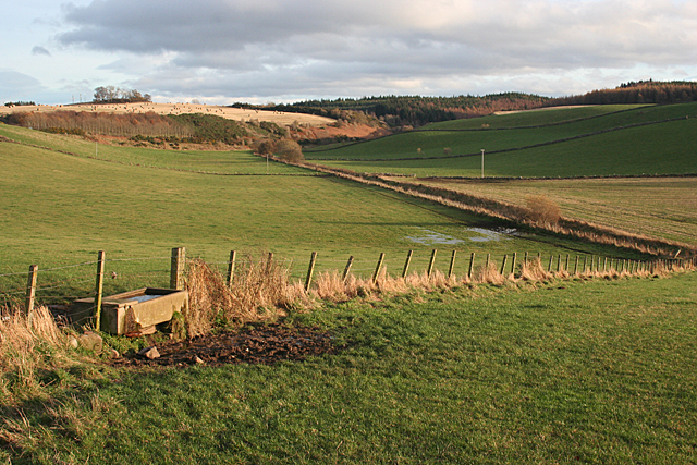
The forest boasts a network of well-maintained walking trails, allowing visitors to immerse themselves in the natural splendor and enjoy leisurely strolls amidst the towering trees. These trails offer breathtaking views of the surrounding countryside, including rolling hills and the nearby River Findhorn, adding to the overall charm and appeal of Newton Clump.
For those seeking a more active experience, the wood also features designated areas for cycling and horse riding, catering to a range of outdoor enthusiasts. The local community has taken great care to preserve the natural integrity of the forest, ensuring that these activities are carried out in a sustainable and environmentally friendly manner.
In addition to its recreational offerings, Newton Clump plays an essential role in carbon sequestration, aiding in the fight against climate change. The wood's dense canopy acts as a carbon sink, absorbing and storing significant amounts of carbon dioxide, contributing to the overall mitigation of greenhouse gas emissions.
Overall, Newton Clump in Nairnshire is a captivating and ecologically significant wood, offering visitors a chance to connect with nature, explore its diverse flora and fauna, and appreciate the stunning landscapes of the Scottish Highlands.
If you have any feedback on the listing, please let us know in the comments section below.
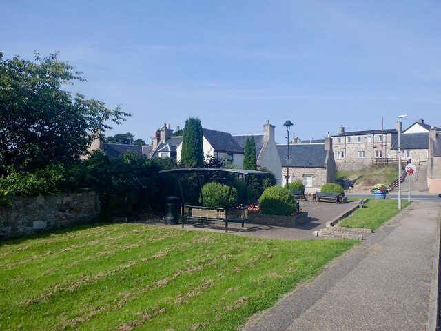
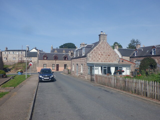
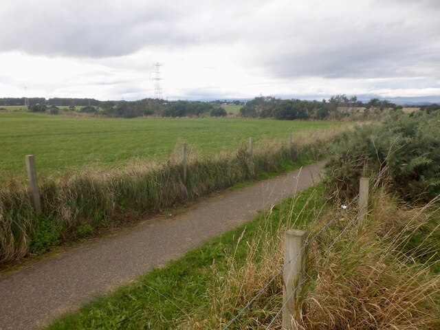
Newton Clump Images
Images are sourced within 2km of 57.56523/-3.8347316 or Grid Reference NH9054. Thanks to Geograph Open Source API. All images are credited.


Newton Clump is located at Grid Ref: NH9054 (Lat: 57.56523, Lng: -3.8347316)
Unitary Authority: Highland
Police Authority: Highlands and Islands
What 3 Words
///starfish.steadier.actual. Near Nairn, Highland
Nearby Locations
Related Wikis

Auldearn
Auldearn (Scottish Gaelic: Allt Èireann) is a village situated east of the River Nairn, just outside Nairn in the Highland council area of Scotland. It...
Battle of Auldearn
The Battle of Auldearn was an engagement of the Wars of the Three Kingdoms. It took place on 9 May 1645, in and around the village of Auldearn in Nairnshire...

Rait Castle
Rait Castle is a ruined hall-house castle dating from the thirteenth century, situated just south of Nairn near Inverness, Scotland. It is a scheduled...
Kinsteary House
Kinsteary House is a manor house and site of a possible castle located south of Auldearn, Highland in Scotland. == History == The property passed by marriage...
Nearby Amenities
Located within 500m of 57.56523,-3.8347316Have you been to Newton Clump?
Leave your review of Newton Clump below (or comments, questions and feedback).