Bognafuaran Wood
Wood, Forest in Nairnshire
Scotland
Bognafuaran Wood

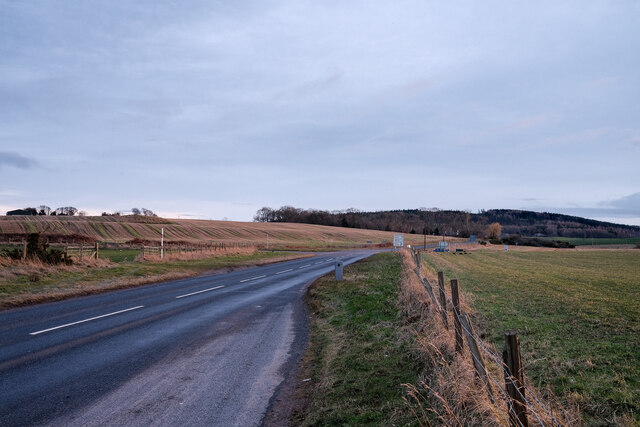
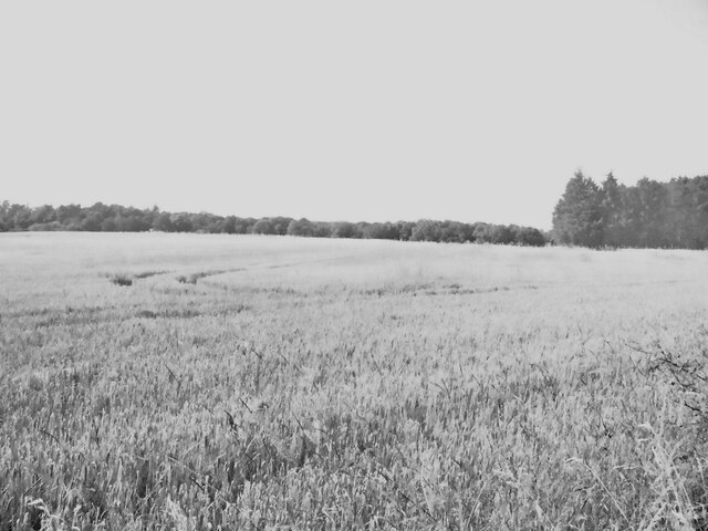
Bognafuaran Wood is a picturesque forest located in Nairnshire, Scotland. Covering an area of approximately 100 hectares, this woodland is a haven of natural beauty and tranquility. The wood is situated near the village of Cawdor, just a few miles southeast of the town of Nairn.
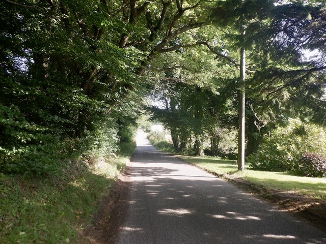
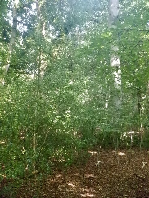
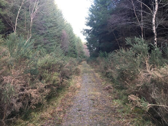
The forest is predominantly composed of native trees, including oak, birch, and Scots pine, which create a diverse and vibrant ecosystem. The tall, majestic trees provide a dense canopy that filters sunlight, creating a cool and peaceful atmosphere within the wood. The forest floor is covered with a rich carpet of moss, ferns, and wildflowers, adding to its enchanting appeal.
Bognafuaran Wood is home to a variety of wildlife, making it a popular spot for nature enthusiasts and birdwatchers. Visitors may have the opportunity to spot red squirrels, roe deer, and a wide range of bird species, including woodpeckers, owls, and various songbirds.
The wood offers several walking trails and paths, allowing visitors to explore its beauty at their own pace. These trails wind through the forest, providing glimpses of stunning vistas and serene spots along the way. Whether it is a leisurely stroll or a more adventurous hike, Bognafuaran Wood caters to all levels of outdoor enthusiasts.
In addition to its natural beauty, the wood has historical significance. It is believed to have been part of the ancient Cawdor Castle estate, with remnants of old walls and structures still visible in some areas.
Overall, Bognafuaran Wood is a captivating destination that offers a perfect blend of natural wonder and historical charm, making it a must-visit location for those seeking solace in nature.
If you have any feedback on the listing, please let us know in the comments section below.
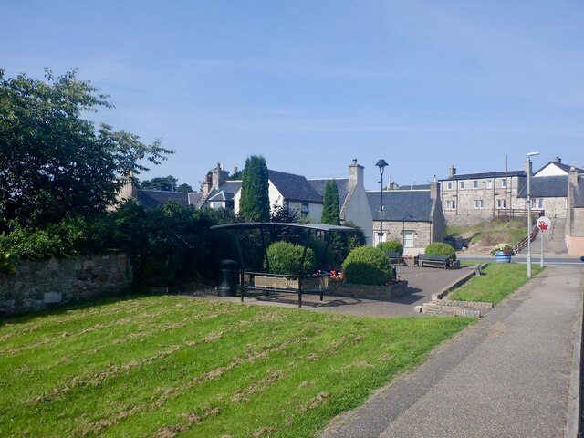
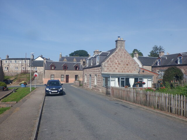
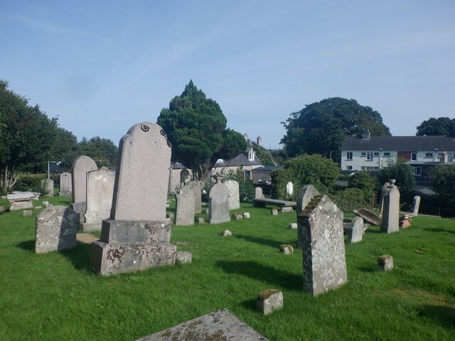
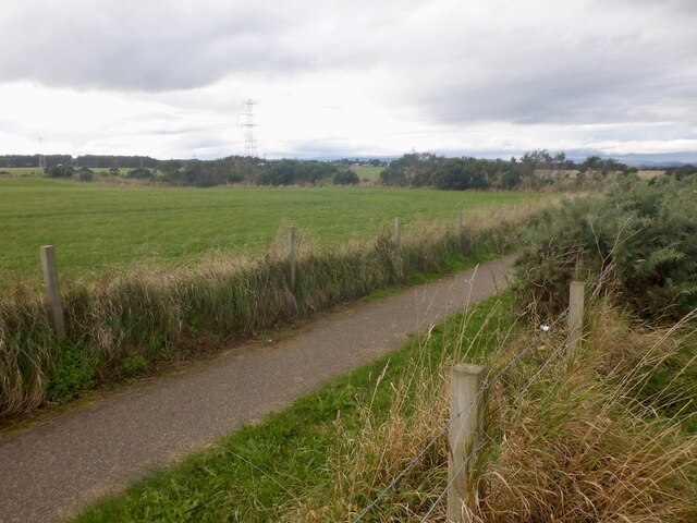
Bognafuaran Wood Images
Images are sourced within 2km of 57.568349/-3.8371124 or Grid Reference NH9054. Thanks to Geograph Open Source API. All images are credited.


Bognafuaran Wood is located at Grid Ref: NH9054 (Lat: 57.568349, Lng: -3.8371124)
Unitary Authority: Highland
Police Authority: Highlands and Islands
What 3 Words
///deep.chart.decking. Near Nairn, Highland
Nearby Locations
Related Wikis

Auldearn
Auldearn (Scottish Gaelic: Allt Èireann) is a village situated east of the River Nairn, just outside Nairn in the Highland council area of Scotland. It...
Battle of Auldearn
The Battle of Auldearn was an engagement of the Wars of the Three Kingdoms. It took place on 9 May 1645, in and around the village of Auldearn in Nairnshire...

Rait Castle
Rait Castle is a ruined hall-house castle dating from the thirteenth century, situated just south of Nairn near Inverness, Scotland. It is a scheduled...

Nairn Town and County Hospital
Nairn Town and County Hospital and Primary Care Centre, also known as the Town and County Hospital, is a healthcare facility located in Nairn, Scotland...
Nairn County F.C.
Nairn County Football Club is a Scottish senior football club based in the town of Nairn, Highland. Nicknamed the Wee County, they were founded in 1914...

River Nairn
The River Nairn (Scottish Gaelic: Narann / Abhainn Narann) is a 35 mile long river in the Scottish Highlands. == Etymology == The hydronym Nairn is Pictish...
Nairn Castle
Nairn Castle was a castle that was located in Nairn, Scotland. Nairn, then known as Invernairn, was made a royal burgh by King Alexander I of Scotland...
Kinsteary House
Kinsteary House is a manor house and site of a possible castle located south of Auldearn, Highland in Scotland. == History == The property passed by marriage...
Nearby Amenities
Located within 500m of 57.568349,-3.8371124Have you been to Bognafuaran Wood?
Leave your review of Bognafuaran Wood below (or comments, questions and feedback).