Carronshore

Settlement in Stirlingshire

Scotland

Carronshore

Forth and Clyde Canal towpath Near canal lock no.5, Bainsford Lock. The B905 crosses the canal on the east side of the lock.
Forth and Clyde Canal towpath Credit: Eirian Evans

Carronshore is a small village located in Stirlingshire, Scotland. It lies on the southern bank of the River Carron, approximately 3 miles east of Falkirk and 20 miles west of Edinburgh. The village is part of the Falkirk council area and falls within the Central Scotland region.

Historically, Carronshore was primarily an industrial area, with its development closely linked to the Carron Company, a prominent ironworks and foundry that operated in the 18th and 19th centuries. The ironworks brought significant economic prosperity to the village, attracting workers and their families. However, as the iron industry declined, Carronshore transitioned into a more residential area.

Today, the village has a mix of residential housing, some of which dates back to the heyday of the ironworks. The nearby Carronshore Primary School serves the educational needs of the local community. Carronshore is well-connected to surrounding areas, with good transportation links, including a railway station and easy access to major road networks.

The village benefits from its proximity to Falkirk, a larger town that offers a range of amenities, including shopping centers, leisure facilities, and schools. Residents can also enjoy the natural beauty of the surrounding area, with nearby attractions such as the Falkirk Wheel, the Kelpies, and the Antonine Wall.

Overall, Carronshore is a small, historically significant village that has retained its charm while adapting to modern times. Its industrial heritage, combined with its convenient location, makes it an appealing place to live for those seeking a quiet suburban lifestyle within easy reach of larger towns and cities.

If you have any feedback on the listing, please let us know in the comments section below.
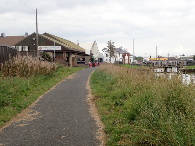
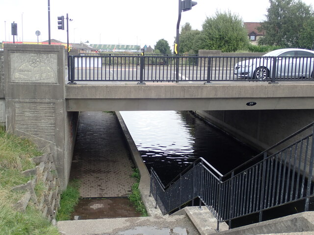
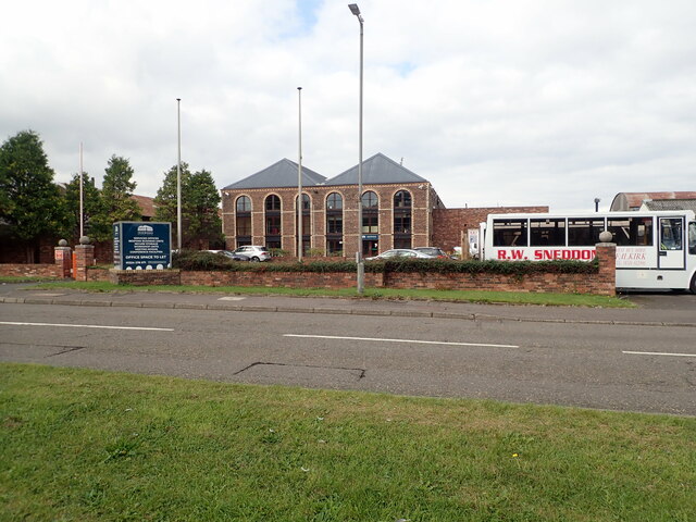
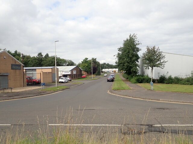
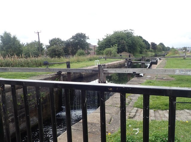
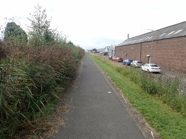
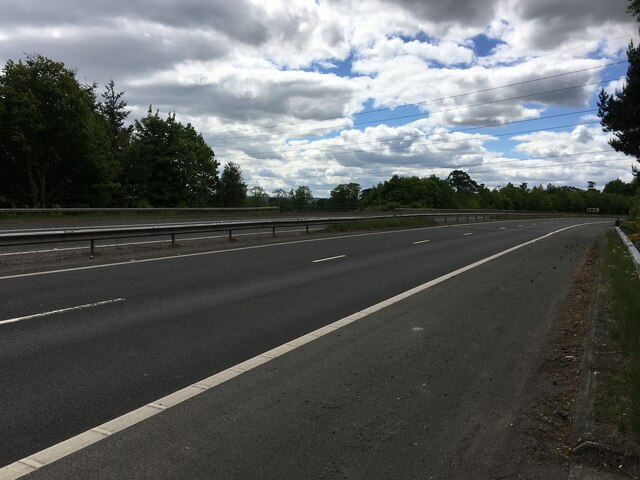
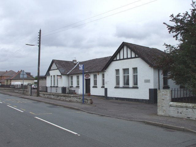
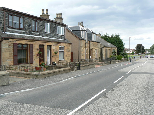
Carronshore Images

Images are sourced within 2km of 56.027387/-3.78031 or Grid Reference NS8983. Thanks to Geograph Open Source API. All images are credited.

Forth and Clyde Canal towpath Near canal lock no.5, Bainsford Lock. The B905 crosses the canal on the east side of the lock.
Forth and Clyde Canal towpath
Near canal lock no.5, Bainsford Lock. The B905 crosses the canal on the east side of the lock.
Towpath underpassing Grahams Road bridge
Offices to let on Bankside
Bankside Industrial Estate
Abbotshaugh Lock Lock No.4 on the Forth and Clyde Canal
Abbotshaugh Lock
Lock No.4 on the Forth and Clyde Canal
Canal towpath near the Bankside Industrial Estate The canal is obscured by overgrown hedge
Canal towpath near the Bankside Industrial Estate
The canal is obscured by overgrown hedge
Slip road on junction of M9 and M876 Photo taken whilst awaiting puncture repair.
Slip road on junction of M9 and M876
Photo taken whilst awaiting puncture repair.
Green bridge over the River Carron Reflections give two for the price of one!
Green bridge over the River Carron
Reflections give two for the price of one!
"Love and Kisses" sculpture Intended to represent a laurel leaf and paying tribute to the area's rich Roman heritage, this sculpture is made in Corten steel and  designed by artist Jephson Robb.
"Love and Kisses" sculpture
Intended to represent a laurel leaf and paying tribute to the area's rich Roman heritage, this sculpture is made in Corten steel and designed by artist Jephson Robb.
River Carron Approach to the last big meander before the river enters its final stretch to the sea
River Carron
Approach to the last big meander before the river enters its final stretch to the sea
The Kelpies
The Kelpies
The Kelpies The iconic 30-metre high Kelpies seen from beside the Visitor Centre.
The Kelpies
The iconic 30-metre high Kelpies seen from beside the Visitor Centre.
Litter bins A pair of litter bins giving two clear choices - recycling or landfill.
Litter bins
A pair of litter bins giving two clear choices - recycling or landfill.
The Kelpies The iconic 30-metre high Kelpies seen from beside the Visitor Centre.
The Kelpies
The iconic 30-metre high Kelpies seen from beside the Visitor Centre.
A row of tubular steel A line of inverted U-shaped steel tubes in front of the Kelpies Visitor Centre. The maquettes for the Kelpies can be seen behind.
A row of tubular steel
A line of inverted U-shaped steel tubes in front of the Kelpies Visitor Centre. The maquettes for the Kelpies can be seen behind.
The Kelpies Seen from across the canal basin.
The Kelpies
Seen from across the canal basin.
One of the Kelpies The 30-metre high sculpture makes the distant pylon look tiny.
One of the Kelpies
The 30-metre high sculpture makes the distant pylon look tiny.
One of the Kelpies The Kelpies are two 30-metre-high horse-head sculptures designed by sculptor Andy Scott as a monument to the heavy horses of Scottish industry and economy, pulling the wagons, ploughs, barges and coalships that shaped the geographical layout of the Falkirk area (<span class="nowrap"><a title="https://web.archive.org/web/20190823040210/http://www.thehelix.co.uk/things-to-do/the-kelpies/history" rel="nofollow ugc noopener" href="https://web.archive.org/web/20190823040210/http://www.thehelix.co.uk/things-to-do/the-kelpies/history">Archive Link</a><img style="margin-left:2px;" alt="External link" title="External link - shift click to open in new window" src="https://s1.geograph.org.uk/img/external.png" width="10" height="10"/></span> The Helix, archived Aug 2019). The name “Kelpies” was chosen by Scottish Canals at the inception of the project; it refers to the mythological shape-shifting water spirits  possessing the strength and endurance of 10 horses <span class="nowrap"><a title="https://en.wikipedia.org/wiki/Kelpie" rel="nofollow ugc noopener" href="https://en.wikipedia.org/wiki/Kelpie">Link</a><img style="margin-left:2px;" alt="External link" title="External link - shift click to open in new window" src="https://s1.geograph.org.uk/img/external.png" width="10" height="10"/></span>  .

The Kelpies are built of structural steel with a stainless steel cladding. They stand next to a new extension to the Forth and Clyde Canal, and near to the River Carron, forming a gateway at the eastern entrance to the Forth and Clyde canal. The sculptures were opened to the public in October 2013 and nearly one million people visited the sculptures during the first year following their opening. There is a visitor centre and café on the site.
One of the Kelpies
The Kelpies are two 30-metre-high horse-head sculptures designed by sculptor Andy Scott as a monument to the heavy horses of Scottish industry and economy, pulling the wagons, ploughs, barges and coalships that shaped the geographical layout of the Falkirk area (Archive LinkExternal link The Helix, archived Aug 2019). The name “Kelpies” was chosen by Scottish Canals at the inception of the project; it refers to the mythological shape-shifting water spirits possessing the strength and endurance of 10 horses LinkExternal link . The Kelpies are built of structural steel with a stainless steel cladding. They stand next to a new extension to the Forth and Clyde Canal, and near to the River Carron, forming a gateway at the eastern entrance to the Forth and Clyde canal. The sculptures were opened to the public in October 2013 and nearly one million people visited the sculptures during the first year following their opening. There is a visitor centre and café on the site.
Show me another place!

Carronshore is located at Grid Ref: NS8983 (Lat: 56.027387, Lng: -3.78031)

Unitary Authority: Falkirk

Police Authority: Forth Valley

What 3 Words

///tooth.chips.sentences. Near Carronshore, Falkirk

Nearby Locations

Carronshore

Related Wikis

Carronshore

Carronshore is a village in the Falkirk council area of Scotland. The village lies in the Forth Valley, 1.7 miles (2.7 km) north of the town of Falkirk...

Carron, Falkirk

Carron (Scottish Gaelic: Carrann) is a village in the Falkirk council area of Scotland. It is in the Forth Valley, about 2 miles (3.2 km) north of Falkirk...

Abbotshaugh Community Woodland

The historic site of Abbotshaugh Community Woodland, located on the south bank of the River Carron, has witnessed many changes over the past 500 years...
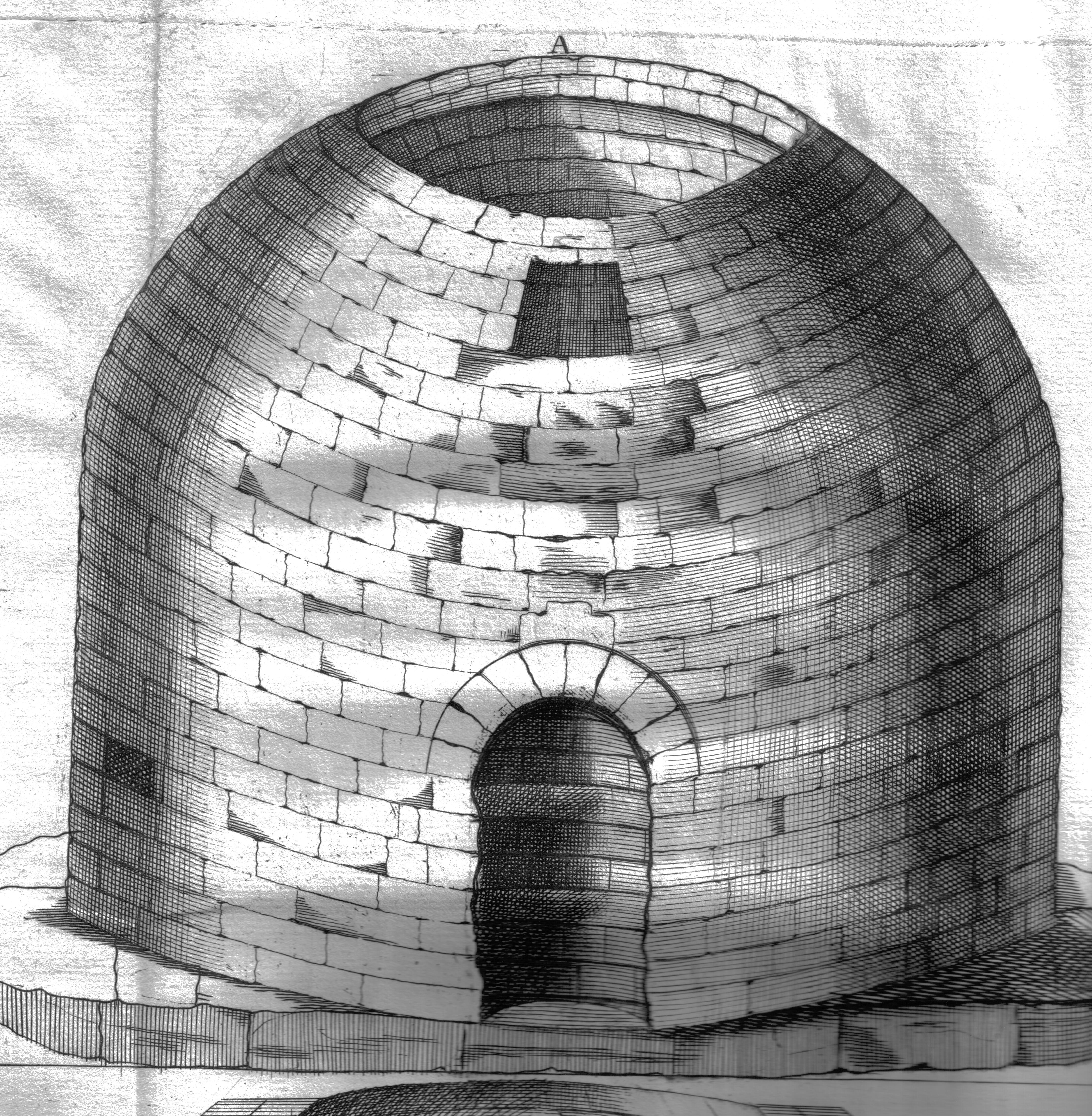
Arthur's O'on

Arthur's O'on (Scots: Oven) was a stone building thought to be Roman temple that, until 1743, stood on rising ground above the north bank of the River...

Nearby Amenities

Located within 500m of 56.027387,-3.78031
Carronshore
Is In: Falkirk, Scotland, UK
Name Gd: Bruach Charrainn
Place: village
Population: 2960
Source: npe
Wikidata: Q5046689
Wikipedia: en:Carronshore
Lat/Long: 56.0289263/-3.7810112
Traffic Calming: island
Lat/Long: 56.0270496/-3.7850251
Turning Circle
Lat/Long: 56.0279451/-3.7875786
Turning Circle
Lat/Long: 56.0281367/-3.7851238
Turning Circle
Lat/Long: 56.0266729/-3.779947
Barrier: bollard
Lat/Long: 56.0274215/-3.7803892
Turning Loop
Lat/Long: 56.0296279/-3.7803495
Turning Circle
Lat/Long: 56.0290678/-3.7796967
Mini Roundabout
Direction: clockwise
Lat/Long: 56.0313375/-3.7806222
Bench
Backrest: no
Material: wood
Seats: 4
Lat/Long: 56.0235716/-3.7829719
Post Box
Collection Times: Mo-Fr 09:00; Sa 07:00
Operator: Royal Mail
Post Box Design: type_b
Post Box Type: pillar
Ref: FK2 19D
Royal Cypher: GVIR
Royal Cypher Wikidata: Q33102169
Lat/Long: 56.0289746/-3.7838396
Booth: K6
Removed Amenity: telephone
Source: survey
Lat/Long: 56.0269643/-3.778571
Crossing
Crossing: uncontrolled
Crossing Ref: zebra
Horse: no
Kerb: lowered
Tactile Paving: yes
Lat/Long: 56.0268726/-3.7872266
Addr Flats: 9
Addr Street: Quarrolhall Crescent
Lat/Long: 56.029866/-3.7838
Addr Flats: 11
Addr Street: Quarrolhall Crescent
Lat/Long: 56.0299617/-3.7837612
Addr Flats: 13
Addr Street: Quarrolhall Crescent
Lat/Long: 56.0299967/-3.783801
Addr Flats: 15
Addr Street: Quarrolhall Crescent
Lat/Long: 56.0300197/-3.7839722
Addr Flats: 10
Addr Street: Quarrolhall Crescent
Lat/Long: 56.0303205/-3.7836172
Addr Flats: 12
Addr Street: Quarrolhall Crescent
Lat/Long: 56.030356/-3.7837696
Addr Flats: 14
Addr Street: Quarrolhall Crescent
Lat/Long: 56.0303998/-3.7838114
Addr Flats: 16
Addr Street: Quarrolhall Crescent
Lat/Long: 56.0304837/-3.7837708
Addr Flats: 51
Addr Street: Gairdoch Drive
Lat/Long: 56.0316213/-3.7818012
Addr Flats: 49
Addr Street: Gairdoch Drive
Lat/Long: 56.0316314/-3.781834
Addr Flats: 55
Addr Street: Gairdoch Drive
Lat/Long: 56.0317376/-3.7816858
Addr Flats: 53
Addr Street: Gairdoch Drive
Lat/Long: 56.0317483/-3.7817206
Post Box
Collection Times: Mo-Fr 09:00; Sa 07:00
Operator: Royal Mail
Post Box Mounting: pole
Post Box Type: lamp
Ref: FK2 25D
Royal Cypher: scottish_crown
Lat/Long: 56.0272097/-3.7860578
Carronhall Colliery Pit No6
Historic: mine
Lat/Long: 56.0257584/-3.7768524
Old Coal Pit
Historic: yes
Lat/Long: 56.0292116/-3.7863474
Addr Housenumber: 21
Addr Street: Dock Street
Lat/Long: 56.0256714/-3.7754305
Post Box
Collection Times: Mo-Fr 16:15; Sa 11:45
Operator: Royal Mail
Post Box Design: type_b
Post Box Type: pillar
Ref: FK2 65
Royal Cypher: GR
Royal Cypher Wikidata: Q33102273
Lat/Long: 56.0266819/-3.7756005
Crossing
Crossing: uncontrolled
Crossing Ref: zebra
Tactile Paving: yes
Lat/Long: 56.0285074/-3.7834224
Bus Stop
Bench: yes
Bin: yes
Shelter: yes
Tactile Paving: no
Lat/Long: 56.0281282/-3.7818195
Bus Stop
Bench: yes
Naptan AtcoCode: 66901840013
Naptan NaptanCode: 32524785
Shelter: yes
Lat/Long: 56.0273848/-3.7805387
Pharmacy
rightmedicine Pharmacy
Addr Housenumber: 88
Addr Postcode: FK2 8EY
Addr Street: Main Street
Healthcare: pharmacy
Phone: +44 1324 555 544
Lat/Long: 56.0272012/-3.7801719
Bus Stop
Naptan AtcoCode: 66901840028
Naptan NaptanCode: 32525859
Lat/Long: 56.0269318/-3.7780369
Bus Stop
Bench: yes
Naptan AtcoCode: 66901840029
Naptan NaptanCode: 32525892
Shelter: yes
Lat/Long: 56.0269786/-3.7775709
Fast Food
Chillies
Phone: +44 1324 562222
Takeaway: only
Lat/Long: 56.0280653/-3.7839612
Fast Food
Roll in the Wa'
Cuisine: sandwich
Lat/Long: 56.028105/-3.7839347
Pub
Carronshore Bar
Lat/Long: 56.0281622/-3.7838967
Bus Stop
Bench: no
Shelter: no
Lat/Long: 56.0281065/-3.7838244
Fast Food
Wing Wah
Cuisine: chinese
Takeaway: only
Lat/Long: 56.0281151/-3.7835167
William Hill
Brand: William Hill
Brand Wikidata: Q4053147
Brand Wikipedia: en:William Hill (bookmaker)
Shop: bookmaker
Lat/Long: 56.0282594/-3.7838319
Scott Penn Hair Studio
Shop: hairdresser
Lat/Long: 56.0283167/-3.7837937
Scotmid
Brand: Scotmid
Brand Wikidata: Q7435719
Brand Wikipedia: en:Scotmid
Shop: supermarket
Website: https://scotmid.coop/store/carronshore/
Lat/Long: 56.0284497/-3.7837051
Historic: memorial
Memorial: war_memorial
Lat/Long: 56.0286992/-3.7830117
Bus Stop
Bench: no
Naptan AtcoCode: 66901830022
Naptan NaptanCode: 32525649
Shelter: no
Lat/Long: 56.0290012/-3.7837151
Bus Stop
Bench: no
Shelter: no
Lat/Long: 56.0289514/-3.7837963
Noexit: yes
Lat/Long: 56.0275879/-3.7847123
Bus Stop
Bench: yes
Bin: yes
Shelter: yes
Tactile Paving: no
Lat/Long: 56.0269119/-3.7860265
Crossing
Crossing: uncontrolled
Crossing Island: yes
Traffic Calming: island
Lat/Long: 56.0269473/-3.7862575
Traffic Calming: island
Lat/Long: 56.0269944/-3.7855813
Generator Method: photovoltaic
Generator Output Electricity: yes
Generator Source: solar
Generator Type: solar_photovoltaic_panel
Power: generator
Lat/Long: 56.0298882/-3.7831791
Generator Method: photovoltaic
Generator Output Electricity: yes
Generator Source: solar
Generator Type: solar_photovoltaic_panel
Power: generator
Lat/Long: 56.0298408/-3.783188
Give Way
Direction: backward
Lat/Long: 56.0270003/-3.7859255
Give Way
Direction: backward
Lat/Long: 56.0269885/-3.7852553
Location: indoor
Power: substation
Substation: minor_distribution
Lat/Long: 56.0269202/-3.7850583
Generator Method: photovoltaic
Generator Output Electricity: yes
Generator Source: solar
Generator Type: solar_photovoltaic_panel
Power: generator
Lat/Long: 56.0297692/-3.7831657
Generator Method: photovoltaic
Generator Output Electricity: yes
Generator Source: solar
Generator Type: solar_photovoltaic_panel
Power: generator
Lat/Long: 56.0297215/-3.7831514
Generator Method: photovoltaic
Generator Output Electricity: yes
Generator Source: solar
Generator Type: solar_photovoltaic_panel
Power: generator
Lat/Long: 56.0296136/-3.7831331
Generator Method: photovoltaic
Generator Output Electricity: yes
Generator Source: solar
Generator Type: solar_photovoltaic_panel
Power: generator
Lat/Long: 56.0295693/-3.7831352
Generator Method: photovoltaic
Generator Output Electricity: yes
Generator Source: solar
Generator Type: solar_photovoltaic_panel
Power: generator
Lat/Long: 56.0294966/-3.7831433
Bench
Backrest: no
Colour: yellow
Material: metal
Lat/Long: 56.0262537/-3.7855255
Material: metal
Max Age: 10
Min Age: 1
Playground: climbingframe
Lat/Long: 56.026352/-3.785536
Waste Basket
Waste: trash
Lat/Long: 56.0262813/-3.7856426
Material: plastic
Playground: springy
Lat/Long: 56.0263649/-3.7856084
Baby: yes
Material: metal
Playground: swing
Lat/Long: 56.0262159/-3.7855484
The data included in this document is from www.openstreetmap.org. The data is made available under ODbL.

Have you been to Carronshore?

Leave your review of Carronshore below (or comments, questions and feedback).