Maggie's Wood

Wood, Forest in Clackmannanshire

Scotland

Maggie's Wood

Pasture between Fishcross and the Ochil Hills
Pasture between Fishcross and the Ochil Hills Credit: Eirian Evans

Maggie's Wood is a picturesque forest located in the county of Clackmannanshire, Scotland. Spread across an area of approximately 50 acres, it is known for its natural beauty and tranquil ambiance. The wood is situated on the eastern slopes of the Ochil Hills, offering breathtaking views of the surrounding countryside.

The forest is predominantly composed of a diverse range of deciduous trees, including oak, ash, birch, and beech. This creates a rich and vibrant habitat for various wildlife species, making it a popular destination for nature enthusiasts and birdwatchers. Visitors can expect to see a plethora of bird species, such as woodpeckers, tits, and finches, as well as small mammals like red squirrels and rabbits.

Maggie's Wood is also home to several well-maintained walking trails, which provide visitors with the opportunity to explore the wood at their own pace. These trails are suitable for all ages and fitness levels, making it an ideal destination for families and individuals alike. Additionally, the wood offers picnic areas and benches, allowing visitors to relax and enjoy the peaceful surroundings.

Managed by the Woodland Trust, Maggie's Wood is not only a place of natural beauty but also serves as an important conservation area. The trust works tirelessly to protect and enhance the woodland, ensuring its long-term sustainability and biodiversity.

Overall, Maggie's Wood in Clackmannanshire is a haven for nature lovers, providing an escape from the hustle and bustle of everyday life, and offering a chance to connect with the beauty of Scotland's natural landscape.

If you have any feedback on the listing, please let us know in the comments section below.

Maggie's Wood Images

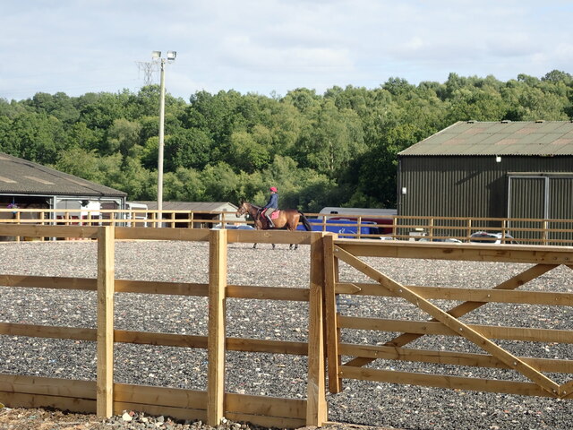
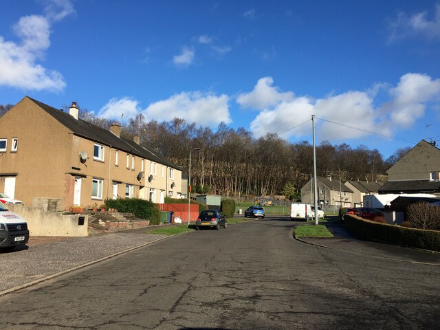
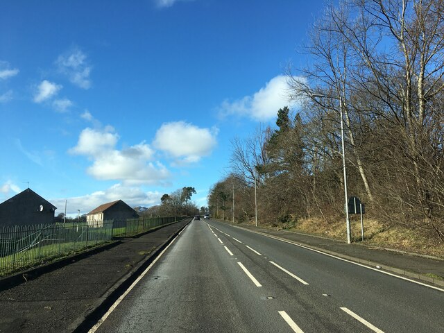
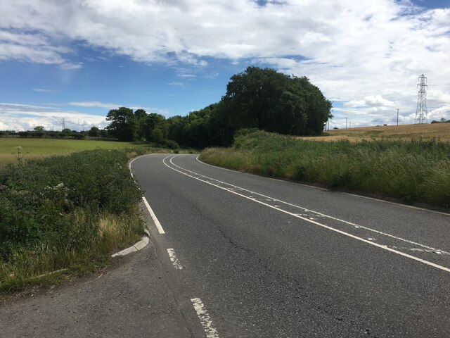
Images are sourced within 2km of 56.136926/-3.788354 or Grid Reference NS8895. Thanks to Geograph Open Source API. All images are credited.

Pasture between Fishcross and the Ochil Hills
National Cycle Route 767 Also known as the Devon Way, Route 767 is a fully traffic-free route following the old railway line between Alloa, Tillicoutry and Dollar. Dollar is 4 miles distant to the east, and Stirling 10 miles west
National Cycle Route 767
Also known as the Devon Way, Route 767 is a fully traffic-free route following the old railway line between Alloa, Tillicoutry and Dollar. Dollar is 4 miles distant to the east, and Stirling 10 miles west
Bullfinch (Pyrrhula pyrrhula)  Unmistakeable, beautiful bird. There was a female here too but just couldn't capture both on my camera! In woodland near Fishcross.
Bullfinch (Pyrrhula pyrrhula)
Unmistakeable, beautiful bird. There was a female here too but just couldn't capture both on my camera! In woodland near Fishcross.
Riding in a manège at Devon Equestrian Centre
New housing estate in Devon village
House near Fishcross On the minor road between Fishcross and Coalsnoughton
House near Fishcross
On the minor road between Fishcross and Coalsnoughton
Slow down A new sign for me - "Cycling, riding and walking friendly road" on the approach to Fishcross
Slow down
A new sign for me - "Cycling, riding and walking friendly road" on the approach to Fishcross
Blackfaulds Farm, Fishcross
New housing development at Devon Village
Woodburn Drive, Alloa
B908 at Branshill
B908 at Branshill
B9140 towards Fishcross
Parkhead Road, Sauchie A Grahams lorry on the far pavement, presumably supplying a nearby shop.
Parkhead Road, Sauchie
A Grahams lorry on the far pavement, presumably supplying a nearby shop.
Farm track south of Alloa The flat ground contrasts with the steep Ochil scarp nearby.
Farm track south of Alloa
The flat ground contrasts with the steep Ochil scarp nearby.
Fishcross to Alva Road View along a straight road towards the Nebit. The higher Ochil Hills are in cloud.
Fishcross to Alva Road
View along a straight road towards the Nebit. The higher Ochil Hills are in cloud.
Industrial estate, Alva Beside a wetland. The tanks belong to the Harviestoun Brewery.
Industrial estate, Alva
Beside a wetland. The tanks belong to the Harviestoun Brewery.
Keir Hardie Road, Alva View from the hill road at the top of the zigzags.
Keir Hardie Road, Alva
View from the hill road at the top of the zigzags.
The Woods Caravan Park, Fishcross
Show me another place!

Maggie's Wood is located at Grid Ref: NS8895 (Lat: 56.136926, Lng: -3.788354)

Unitary Authority: Clackmannanshire

Police Authority: Forth Valley

What 3 Words

///potential.divide.slings. Near Alva, Clackmannanshire

Nearby Locations

Maggie's Wood

Related Wikis

Sauchie railway station

Sauchie railway station served the town of Sauchie, Clackmannanshire, Scotland from 1873 to 1930 on the Devon Valley Railway. == History == The station...
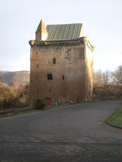
Sauchie Tower

Sauchie Tower, also known as Devon Tower, is a 15th-century tower house in Clackmannanshire, Scotland. The tower is located by the village of Fishcross...

Auchinbaird Windmill

Auchinbaird Windmill or New Sauchie Windmill, was originally a late 17th or early 18th century vaulted tower grain windmill built into a low ridge located...

Fishcross

Fishcross is a small village in Clackmannanshire in central Scotland, situated to the north of Sauchie at a crossroads just south of Tillicoultry. Formerly...

Nearby Amenities

Located within 500m of 56.136926,-3.788354
Power: tower
Lat/Long: 56.1364743/-3.7850278
Power: tower
Lat/Long: 56.1358711/-3.7892896
Power: tower
Lat/Long: 56.1351572/-3.7943337
Power: pole
Lat/Long: 56.132854/-3.7899667
Power: pole
Lat/Long: 56.1330513/-3.7884298
Power: pole
Lat/Long: 56.1333816/-3.7869331
Power: pole
Lat/Long: 56.1337194/-3.7854445
Power: pole
Lat/Long: 56.1342545/-3.784546
Power: pole
Lat/Long: 56.1348464/-3.7836018
Power: pole
Lat/Long: 56.1391104/-3.7829366
Power: pole
Lat/Long: 56.139076/-3.7843448
Power: pole
Lat/Long: 56.1390611/-3.7857932
Power: pole
Lat/Long: 56.1390222/-3.7872148
Power: pole
Lat/Long: 56.1389953/-3.7885451
Power: pole
Lat/Long: 56.1389759/-3.7899372
Power: pole
Lat/Long: 56.1391059/-3.7910235
Power: pole
Lat/Long: 56.139224/-3.7921205
Power: pole
Lat/Long: 56.1395258/-3.7933436
Power: pole
Lat/Long: 56.1397754/-3.7944219
Power: pole
Lat/Long: 56.1360675/-3.7946016
Power: pole
Lat/Long: 56.1340572/-3.7907982
Power: pole
Lat/Long: 56.1353172/-3.7946177
Power: pole
Lat/Long: 56.1349406/-3.7946472
Power: pole
Lat/Long: 56.1351498/-3.7931773
Power: pole
Lat/Long: 56.1366624/-3.7851012
Power: pole
Lat/Long: 56.1364621/-3.7865442
Power: pole
Lat/Long: 56.1362678/-3.7878343
Power: pole
Lat/Long: 56.1360765/-3.7893283
Power: pole
Lat/Long: 56.1358628/-3.7907392
Power: pole
Lat/Long: 56.135658/-3.7921286
Power: pole
Lat/Long: 56.1362394/-3.792771
Power: pole
Lat/Long: 56.1363888/-3.7913655
Power: pole
Lat/Long: 56.136548/-3.7896328
Power: pole
Lat/Long: 56.1367184/-3.7879443
Power: pole
Lat/Long: 56.1371862/-3.787597
Power: pole
Lat/Long: 56.1374612/-3.78628
Power: pole
Lat/Long: 56.1378214/-3.7846626
Power: pole
Lat/Long: 56.1381733/-3.7830372
Power: pole
Lat/Long: 56.1385455/-3.7814118
Power: pole
Lat/Long: 56.1380149/-3.78122
Power: pole
Lat/Long: 56.1375808/-3.7824485
Power: pole
Lat/Long: 56.134469/-3.7897575
Power: pole
Lat/Long: 56.134969/-3.7884419
Power: pole
Lat/Long: 56.135451/-3.7872148
Power: pole
Lat/Long: 56.135921/-3.7860051
Power: pole
Lat/Long: 56.1364554/-3.784617
Power: pole
Lat/Long: 56.1352552/-3.7925148
Power: pole
Lat/Long: 56.1354495/-3.7910664
Power: pole
Lat/Long: 56.1356819/-3.789437
Power: pole
Lat/Long: 56.135856/-3.7881334
Power: pole
Lat/Long: 56.1360556/-3.7867963
Power: pole
Lat/Long: 56.1362521/-3.7853318
Power: pole
Lat/Long: 56.1364598/-3.7838164
Power: pole
Lat/Long: 56.1366003/-3.7828562
Power: pole
Lat/Long: 56.1367827/-3.781621
Power: pole
Lat/Long: 56.1359793/-3.7817122
Power: pole
Lat/Long: 56.1364397/-3.7809505
The data included in this document is from www.openstreetmap.org. The data is made available under ODbL.

Have you been to Maggie's Wood?

Leave your review of Maggie's Wood below (or comments, questions and feedback).